Gröbminger Land
Winter hiking trail Galsterberg
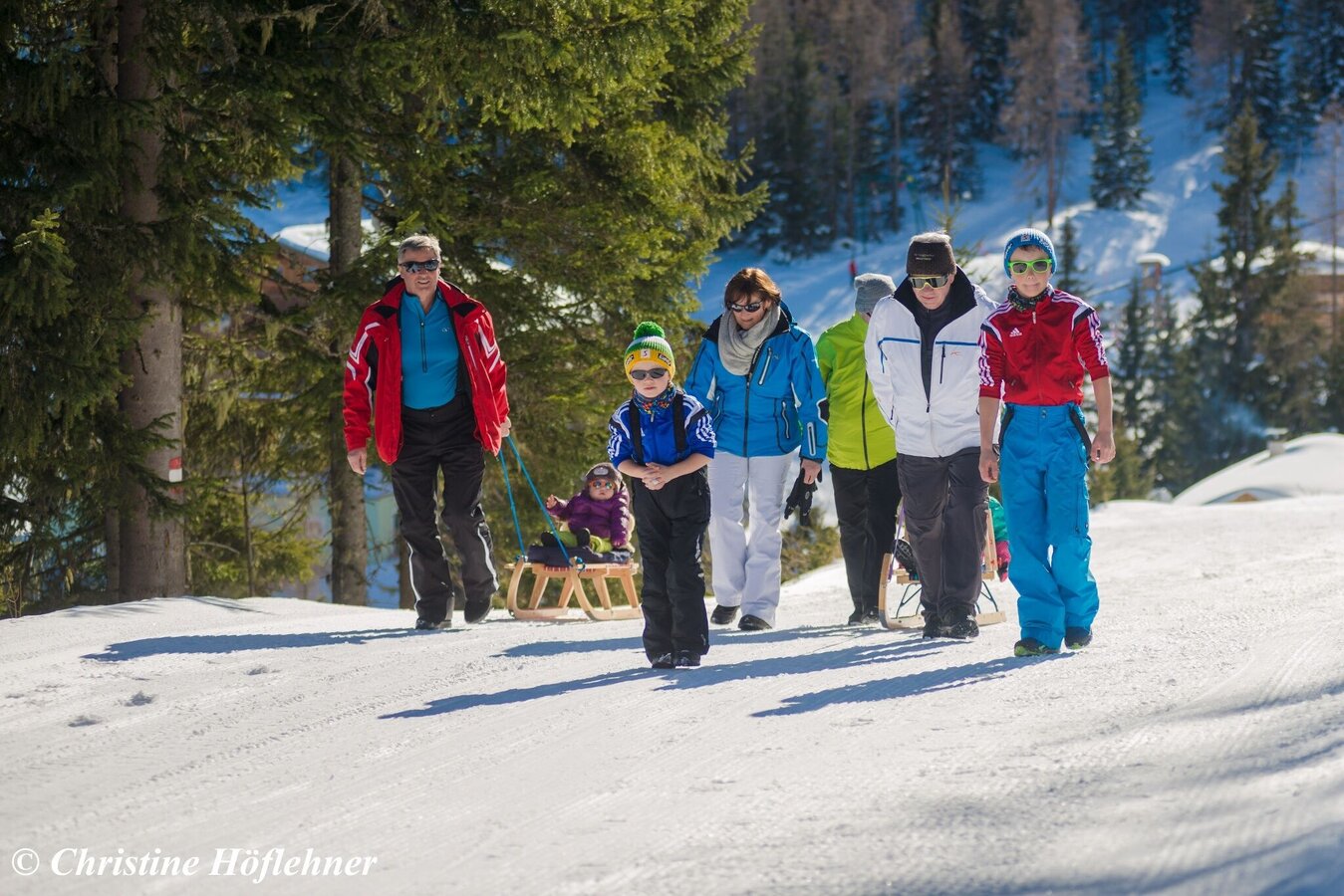
Winter walking
Data:
Tour description
The trail starts at the top station of the gondola, passes the pumping station and storage pond and then continues along a path used as a forest path in summer to the end point. There is a nice photo point (big red heart). Afterwards it goes on the same way (approximately 1.5 kilometers) again back to the mountain station. The way is marked by signs.
The tour
closed
publicly accessible
Starting point
Top station of the gondola
Destination
End with Photo spot
Tour characteristics
Fitness (2/6)
Information
Distance: 1 km
Duration:
1 h
Ascent: 97 m
highest point: 1750 m
Best season
Jan
Feb
Mar
Apr
May
Jun
Jul
Aug
Sep
Oct
Nov
Dec
Map, elevation profile & further information
At the end of the tour you will find a nice photo spot (big red heart)
More information: www.galsterberg.at od phone +43 3685/22845


