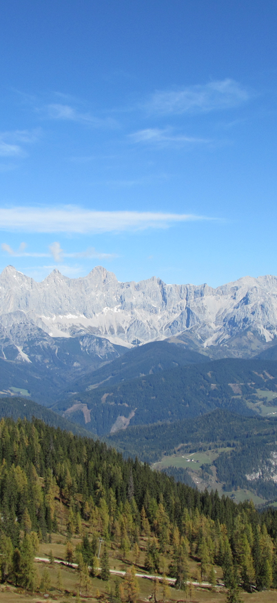
Fageralm

copyright: Reiteralm Bergbahnen
Hiking trail to the Fageralm
From the center of Forstau, the trail leads about 500 m along the main road towards Radstadt. Before the Schreinbach bridge, turn south onto the Rotenloch forest road. This runs slightly uphill through the Heideggwald forest and over damp forest soil before leading into the open alpine pasture area of the Vorderfager and on to the Lechnerhütte (1,610 m).
From there, you can either continue along the road or via the hiking trail to the Trinkeralm mountain inn (1,885 m) and enjoy the impressive panorama of the Dachstein massif. From the Trinkeralm, there are several easy tours in untouched mountain scenery, such as the approximately 45-minute Trinkeralm circular hiking trail. The entire route to the Trinkeralm is an easy hiking route with a walking time of around 3 hours.


