Grimming-Donnersbachtal
Snowshoe hiking tour Plannersee Runde
Winter sports
Data:

Important Information
Tour description
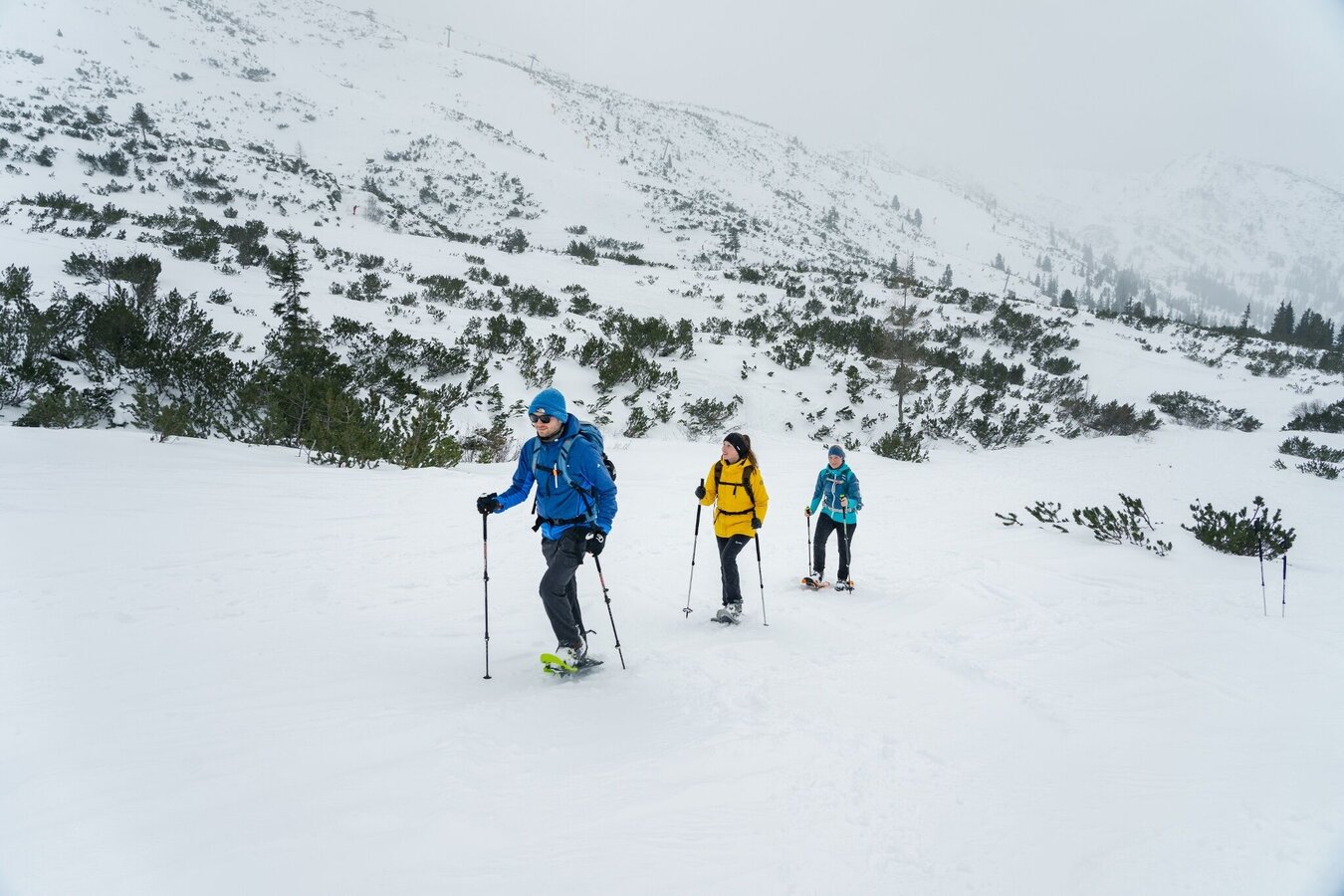
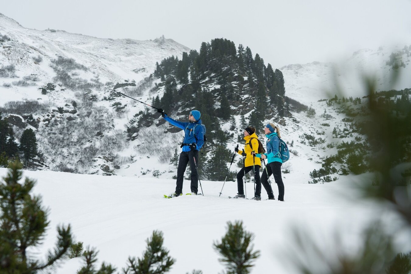
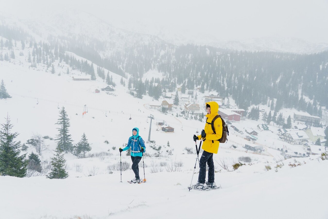
While the Plannersee is a popular hiking destination for families with children in summer, in winter it is an idyllic insider tip for you as a snowshoe hiker. Especially if you would like to take it a bit more relaxed. Step by step, off the slopes, you move on the softest snow. Can you see the lake above? Probably not, because in Styria's highest ski village it hibernates under a thick blanket of snow.
The tour
publicly accessible
Starting and end point
Parking Planneralm
Tour characteristics
Fitness (2/6)
Skills (2/6)
Information
Distance: 2.45 km
Duration:
1 h 30 min
Ascent: 210 m
Descent: 210 m
highest point: 1810 m
Best season
Jan
Feb
Mar
Apr
May
Jun
Jul
Aug
Sep
Oct
Nov
Dec
Map, elevation profile & further information
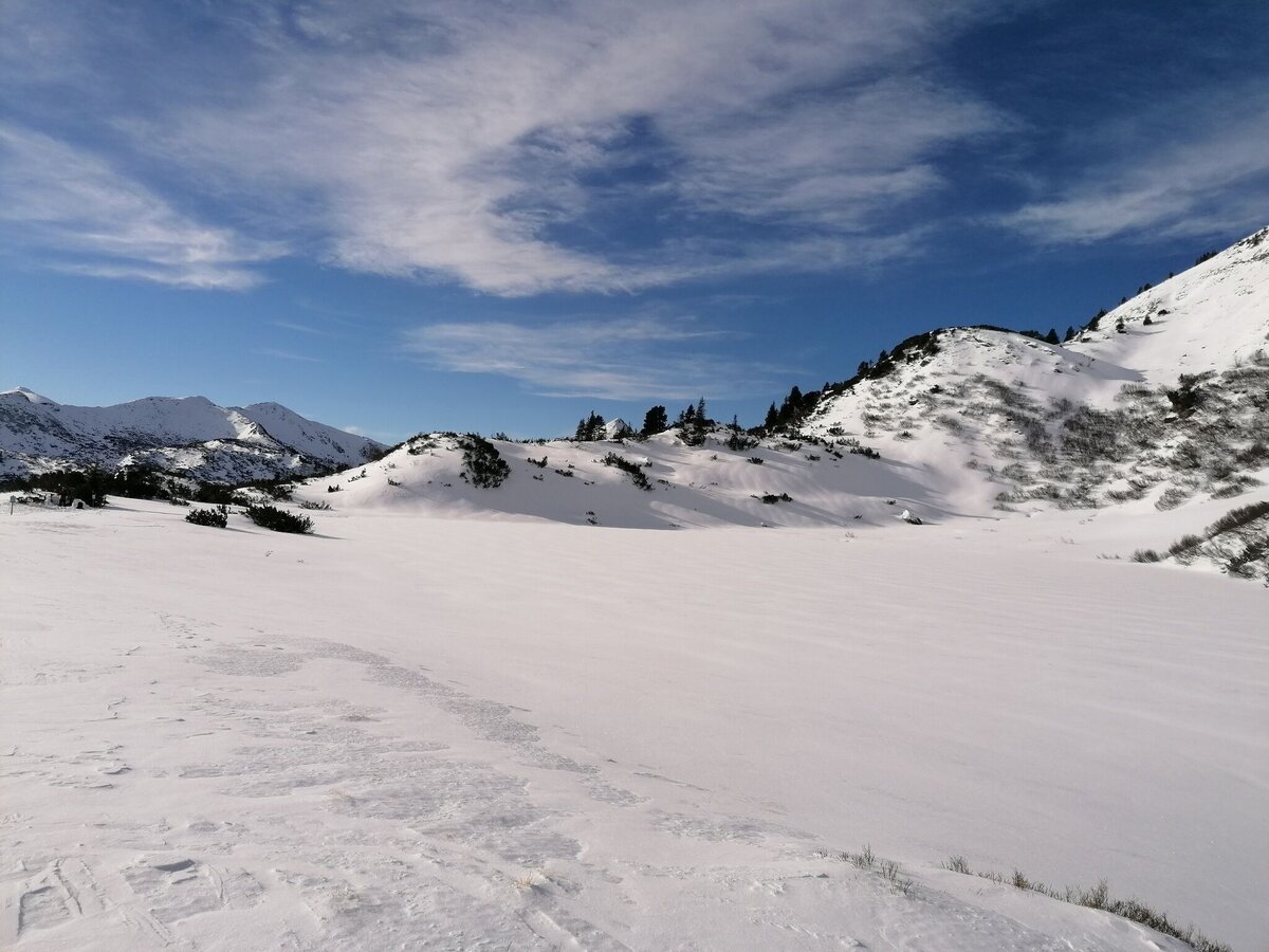
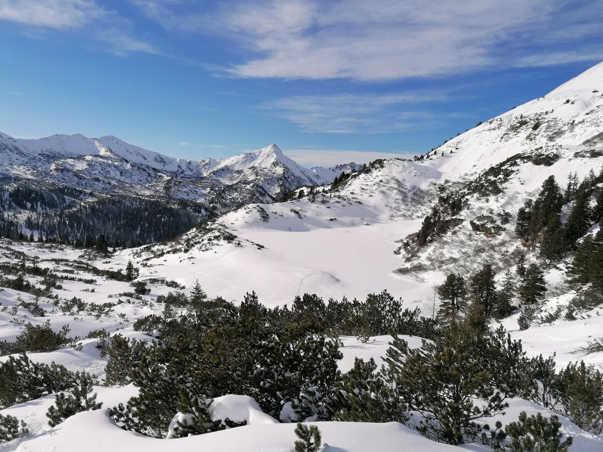
You start to the left of the Plannereckbahn lift along the edge of the piste steadily uphill until shortly before Plannersee lake. Keep left there and hike right along the marked ski route downhill back to the starting point.
Before every snowshoe hike you should always check the current avalanche report - available at www.lawine-steiermark.at. Mountain sports and the assessment of the situation on site are - in winter all the more so - above all subject to personal responsibility. Tourism associations or avalanche warning services do not assume any liability based on information provided.
- Do not go on snowshoe hikes alone. Together it is more fun anyway.
- Always be aware of risks and react to danger signs.
- Observe existing regulations such as hunting and game reserves, reforestation or young growth areas
- You should always have your cell phone well charged. Have you also saved the emergency number 140 of the mountain rescue service? If you have no reception, take out the SIM card and dial 112.
Turn off the Ennstalbundesstraße (B320) at the crossing Trautenfels in direction Irdning, Donnersbach, Donnersbachwald. In Donnersbach after the center of the village turn left towards Planneralm. 12 km long driveway over the toll-free mountain road up to the Planneralm.Parking at the large car park on the Planneralm.
Planneralm ski bus:
Until 15.12.2024 only on weekends
From 21.12.2024 until 20.04.2025 daily
Information at: www.myplanneralm.at
Until 15.12.2024 only on weekends
From 21.12.2024 until 20.04.2025 daily
Information at: www.myplanneralm.at
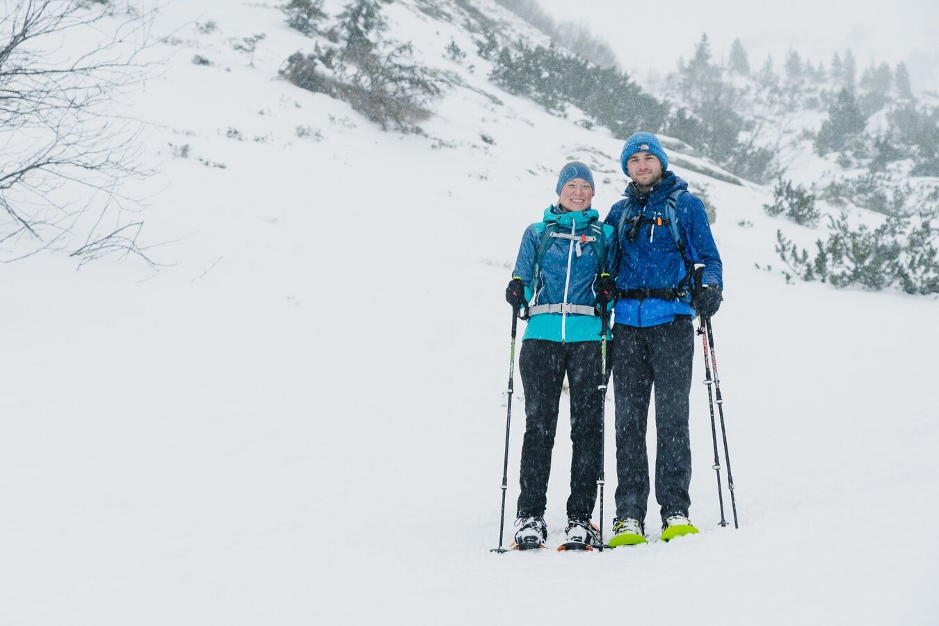
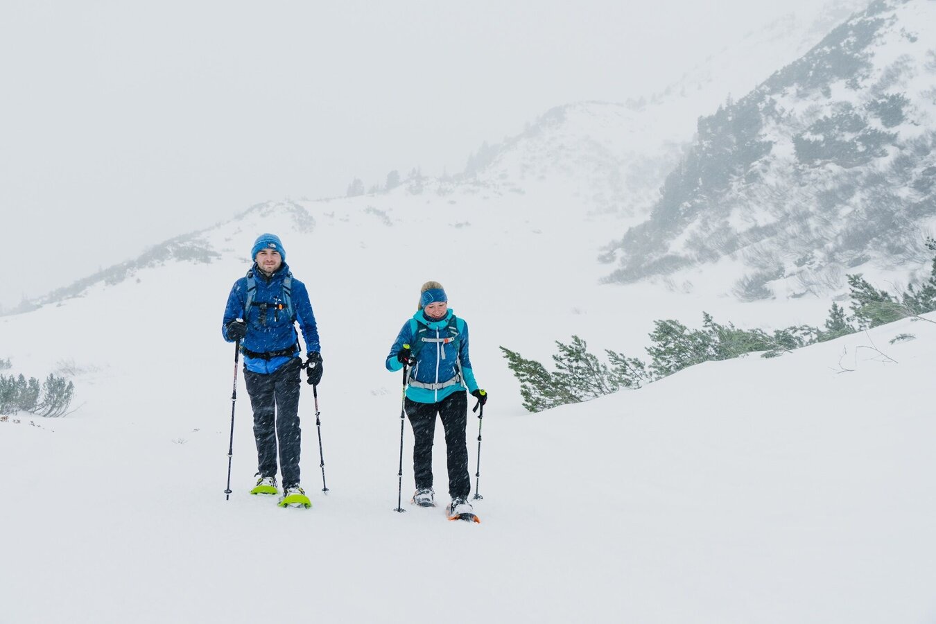
- snowshoes, winter mountain boots or sturdy mountain boots as well as telescopic poles with snow plates
- In addition to food and warm drinks, pack spare clothing and a first aid kit in your backpack
- Choose your clothing according to the onion layer system
- An avalanche transceiver, probe and shovel are, as in ski touring, required in alpine terrain
- Use a backpack to which you can attach your snowshoes
- You should also pack maps and/or tour descriptions. GPX tracks on your cell phone or GPS device will also help you
The huts and inns on the Planneralm invite you to warm up after the hike.
Tourist information: www.schladming-dachstein.at
Schladming-Dachstein Tourist Office
Ramsauerstraße 756
8970 Schladming
T: +43 3687 23310
info@schladming-dachstein.at
Rental possibilities:
Sport Scherz:
Planneralm, T +43 3683 8182
Riesneralm, T +43 3680 350
Bargain shop Scherz in Wörschach+43 3682 22383 sport-scherz.at
Sport Schöttl
Planneralm, T +43 3683 8107
Irdning, T +43 3682 22952 sport.schoettl.at
Schladming-Dachstein OST winter adventure map, available from the information offices in the region.


