Rittispanorama trail

Tour description
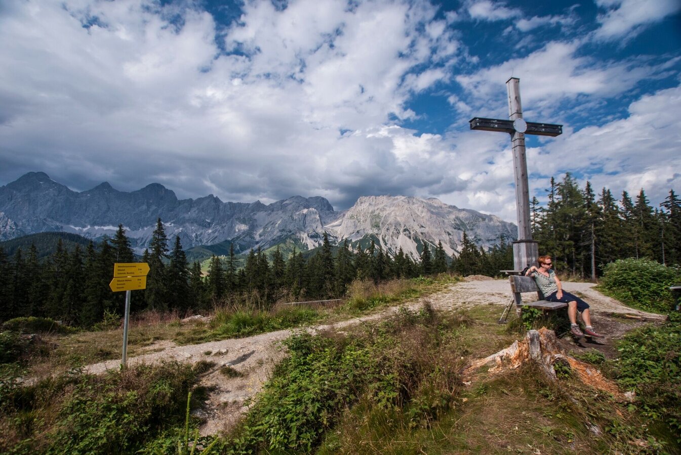
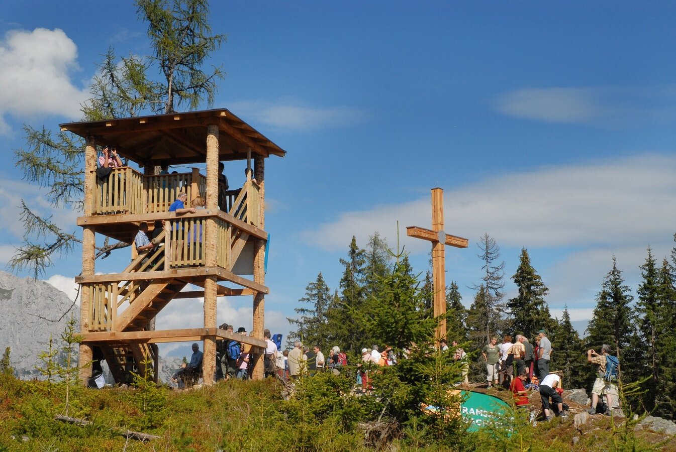
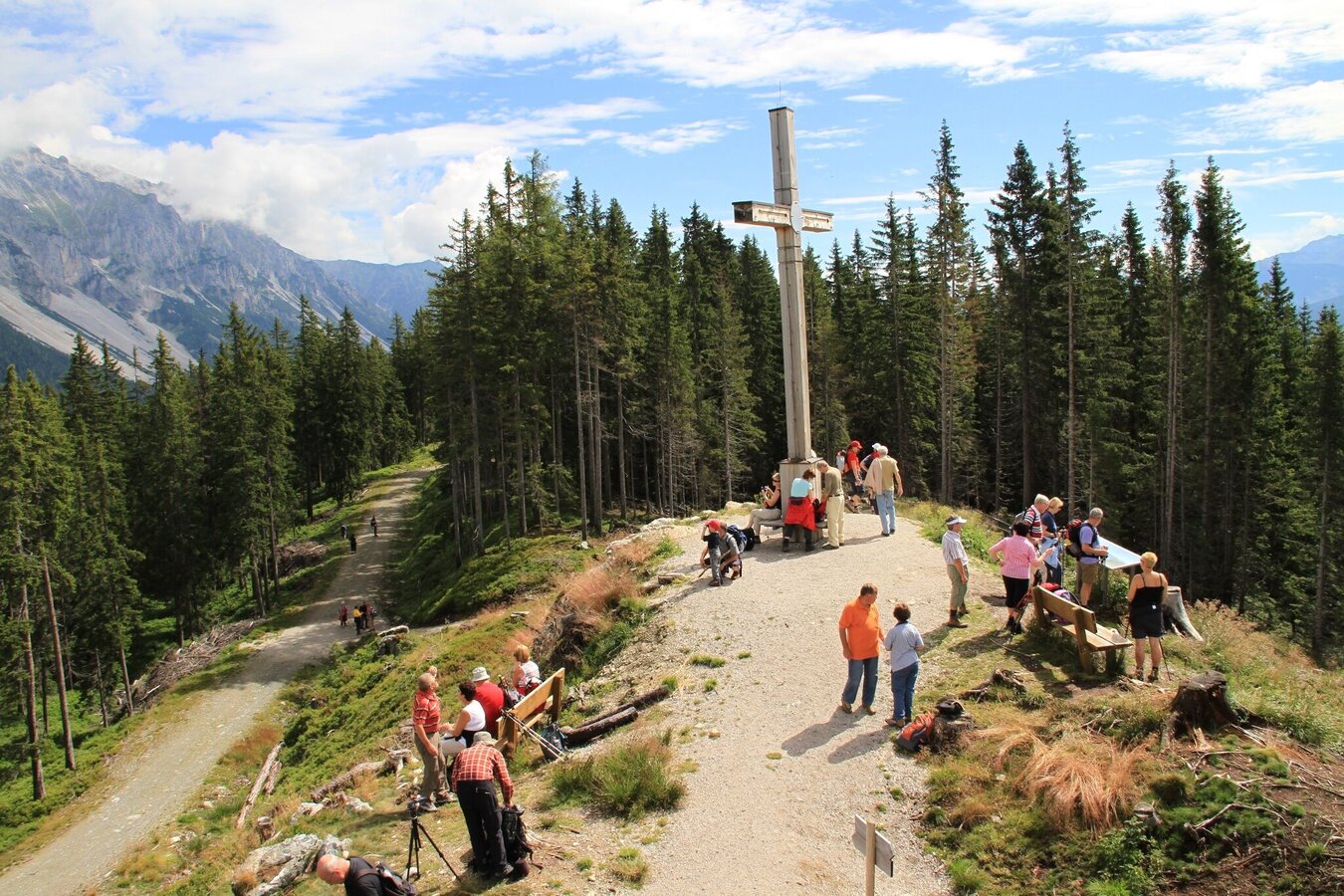
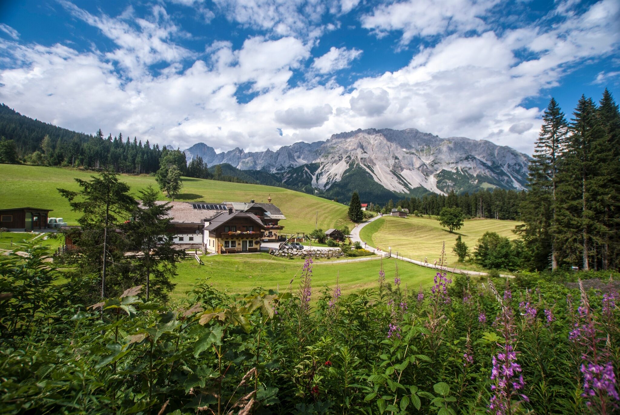
This hike leads on a comfortable hiking trail from the mountain station of the Rittisberg Gipfelbahn to the imposing Rittisberg summit cross. The magnificent panorama of the Dachstein Südwänder and into the Schladminger Tauern must be captured on a picture. Due to the ascent with the cable car, hardly any altitude meters have to be conquered.
The tour
Map, elevation profile & further information
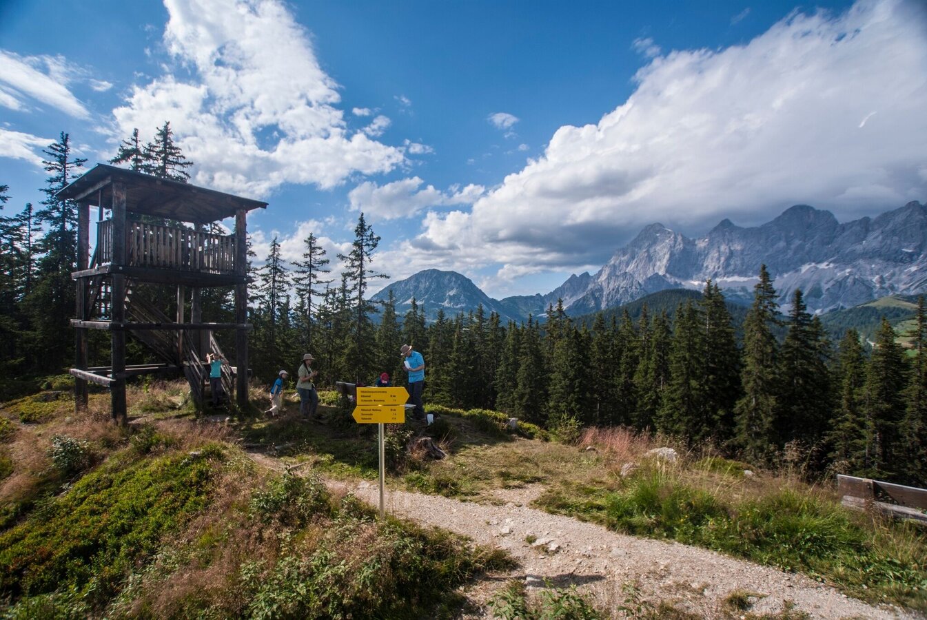
The ascent can be done comfortably with the cable car and thus overcome most of the altitude meters - but if you want to take it sporty, the exciting ascent via the fairy tale path is recommended. From the top station of the Rittisbergbahn you hike past the Rittisstadl on a comfortable forest path to the impressive Rittisberg summit cross. After an extensive rest and the magnificent view of the Dachstein south walls and the Schladminger Tauern, you continue to follow the forest path in a westerly direction. The trail now loses a few meters in altitude and leads you via the Panoramaweg Süd slightly uphill back to the starting point.Now it is recommended to take the barefoot path below the Rittisstadel before you have really earned the snack in the hut.Translated with
Parking spaces are available directly at the valley station of the Rittisbergbahn.
Chargeable parking lot!
The valley station of the Rittisbergbahn can be reached by line 960.
Bus stop: Ski Willy / Rittislift
You can find all bus schedules HERE
A backpack is helpful and decent hiking boots, a good jacket and hiking pants are part of the basic equipment.
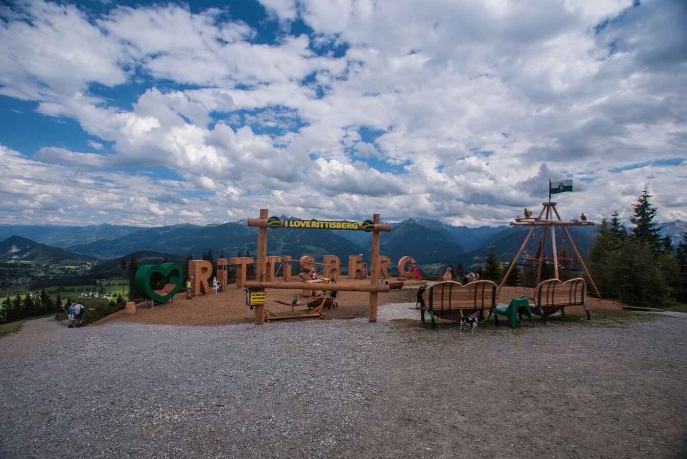
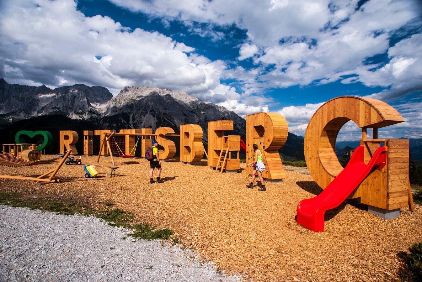
Great little round trip for the whole family before the kids can romp on the big playground. Since 2023 with LandArt installations by international artists.
You can find more information on the website www.rittisberg.at.
Hiking map Schladming-Dachstein, 1:50.000, available at the tourist office Schladming-Dachstein
Brochure available in the info offices


