Gröbminger Land
Prenten Höhenweg (Number 8)
Trailrunning
Data:
Tour description
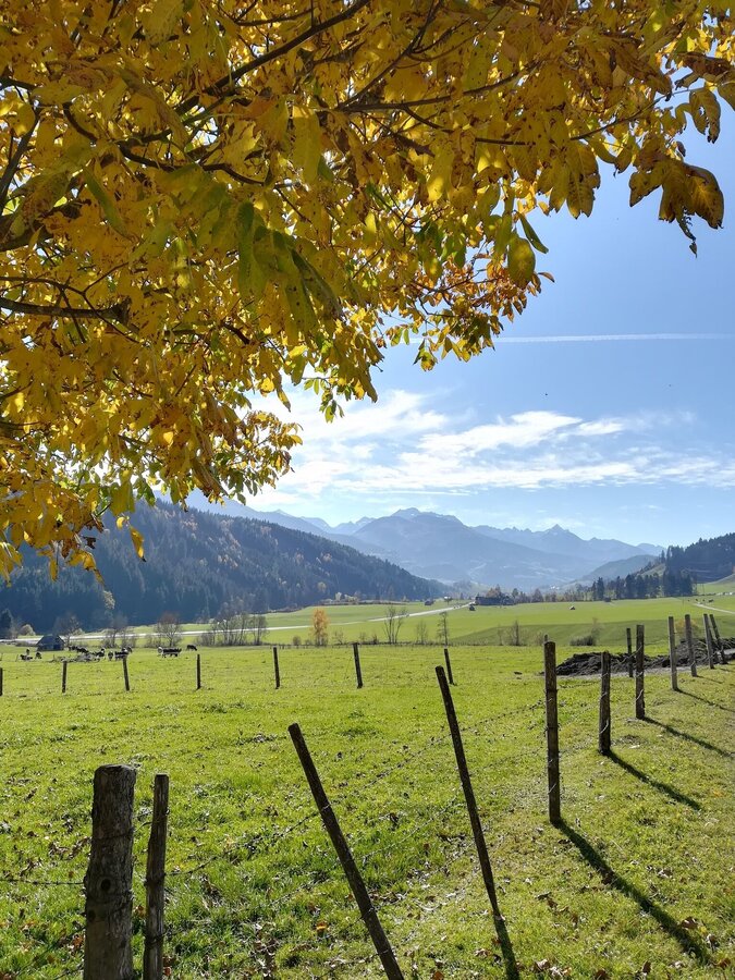
Starting from Lengdorf, this route leads at the foot of the crest through beautiful forest paths towards the district of Prenten and back to Lengdorf via the so-called "Masler Gaßl".
The tour
Starting and end point
Lengdorf Dorfplatz
Tour characteristics
Fitness (2/6)
Information
Distance: 5.3 km
Duration:
1 h 45 min
Ascent: 200 m
Descent: 200 m
highest point: 915 m
Best season
Jan
Feb
Mar
Apr
May
Jun
Jul
Aug
Sep
Oct
Nov
Dec
Map, elevation profile & further information
Starting from Lengdorf, this route leads at the foot of the crest through beautiful forest paths towards the district of Prenten and back to Lengdorf via the so-called "Masler Gaßl".
From Salzburg: A 10 Tauernautobahn to Altenmarkt/Pongau junction - B 320 Ennstalbundesstraße - Gröbming
From Graz: A 9 Phyrn Motorway to St. Michael junction - Liezen B 320 to Gröbming
From Linz: A 9 Phyrnautobahn to Liezen (Bosrucktunnel MAUT!! or Phyrnpass) - B 320 to Gröbming
Parkplatz Lengdorf Moos
suitable footwear, weatherproof clothing


