Oxenalm

Tour description
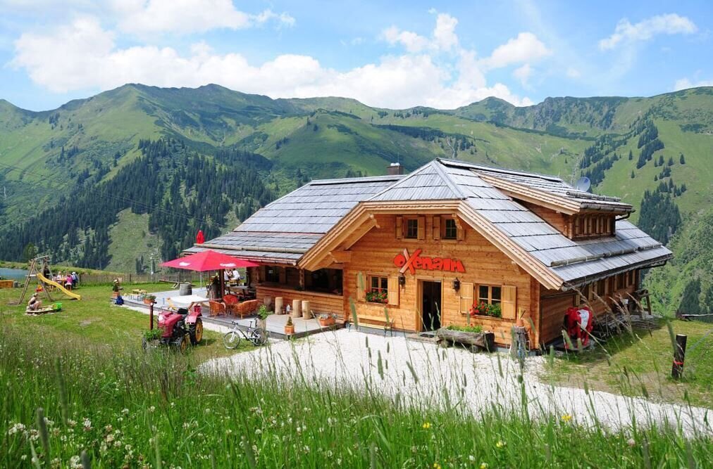
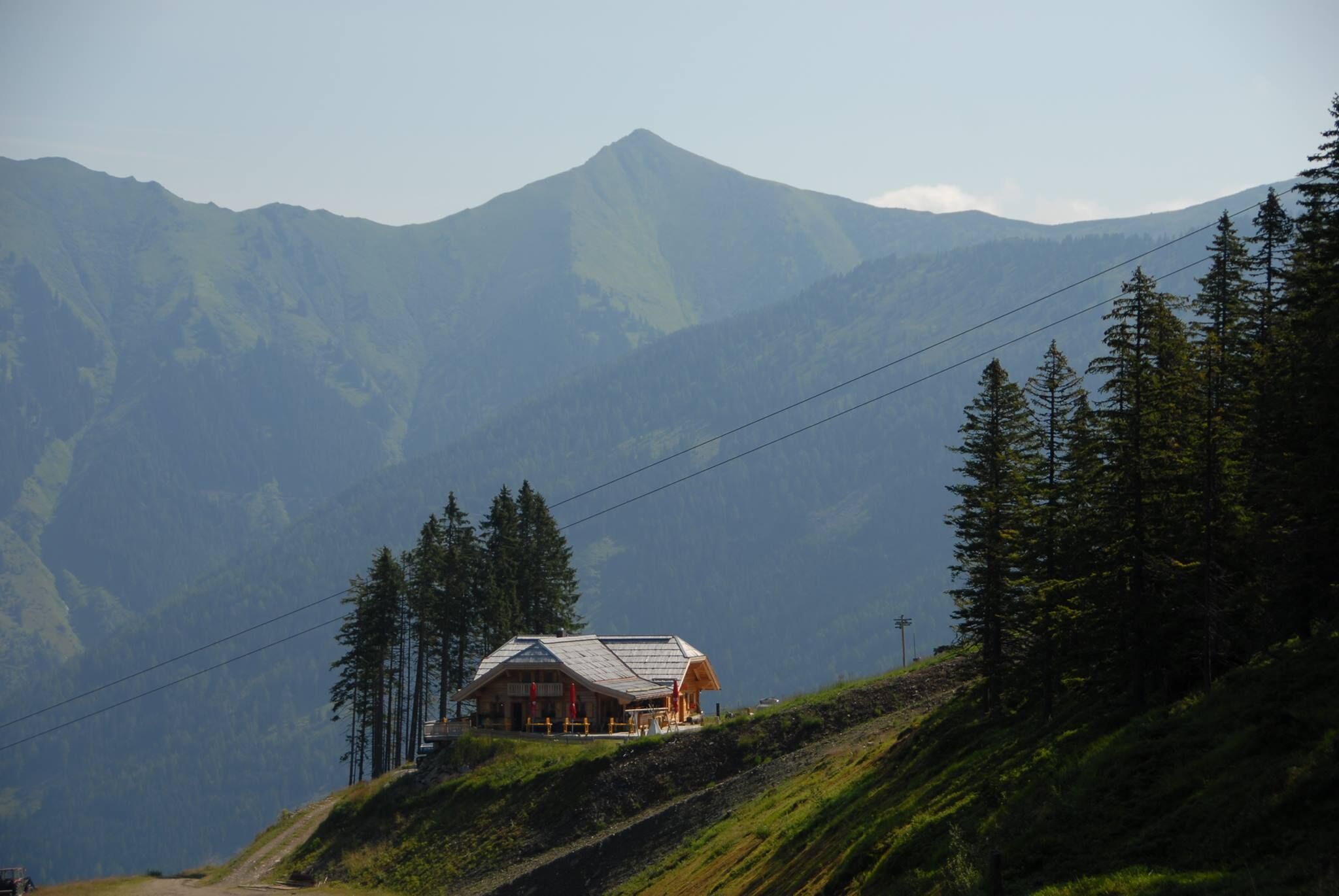
A forest road leads you up and right into the centre of the Riesneralm. It's really ‘cool’ up here at the Oxen. Not just the food, the view and the innkeepers. Also the reservoir right next door.
The tour
Map, elevation profile & further information
From the summer car park, follow the signs along the forest path to the Oxenalm. From there you have the option of continuing via the Hintere to the Vordere Mörsbachalm and back to the car park (approx. 1.5 hours), or up to the Riesneralm mountain station (approx. 1 hour) and from there take the chairlift back down to the valley.
Coming from the B320, at the Trautenfels junction, head towards Irdning. Then head towards Donnersbach, Donnersbachwald and shortly after the tennis court, turn right towards Mörsbachwirt and the summer car park.
Free gravel car park.
Timetable information at: www.verbundlinie.at
Haltestelle Donnersbachwald Ort
- Turn back in good time if the weather deteriorates. If you get caught in a thunderstorm, stay away from individual trees. Wait out the storm, preferably in a crouched position.
- Stay on the marked paths and remember to close pasture fences.
- Keep calm in an emergency and call the mountain rescue service on 140. If you have no reception, take out your SIM card and dial 112.
- If you come across cows: It is best to pass above the herd at a distance of at least 50 meters. Stay calm, don't make any hectic movements and don't run away. Do not imitate cow sounds and do not try to stroke the animals. A stick and loud shouts can often make the animals turn back in an emergency.
- If you are a dog owner: clarify before the hike whether you need to cross a pasture. Keep your dog on a lead and make sure it behaves calmly. In the event of a cow attack, let your dog off the lead immediately. Never pick him up to defend him.
- Shoes with a light tread and clothing suitable for the weather are sufficient for this tour. Perhaps pack a small snack in your rucksack so that you can enjoy nature during a break.
- Your weatherproof rucksack should include: Sun and rain protection, warm, windproof clothing, drinks and provisions, a small first aid kit, hiking map and a fully charged mobile phone.
Suitable footwear goes without saying.
In September, the landlord invites you to ‘Hirschlosen’. And you can do that really well here.
Tourist information: www.schladming-dachstein.atSchladming-Dachstein Tourist Office
Ramsauerstraße 756
8970 Schladming
T: +43 3687 23310
info@schladming-dachstein.at
- SCHLADMING-DACHSTEIN Hiking EAST. Available free of charge from tourist offices and accommodation providers.
- SCHLADMING-DACHSTEIN Hiking Map 1:50,000


