Grimming-Donnersbachtal
Obermoser Trail
Trailrunning
Data:
Tour description
The first kilometer is initially flat and then with short hills on meadows and forest paths until we reach a forest road. From here we walk along a gravel path and then two kilometers on asphalt towards Raumberg. We turn left twice and approach the Raumbergerwald along the forest road. As a variant, we can also run to the right here on the Grasslherrgottweg loop. On the next two kilometers we overcome 220 meters of altitude difference. Alternating on forest and hiking trails we reach the Obermoserhof at 1020 meters above sea level. It is best to cross the farm at walking pace. The downhill starts unspectacularly on a road. After a kilometer left and then left again into the forest and after a short time on the forest road we turn right down. The forest floor takes us before we end up on the forest road again. After a bend we know our way around again and turn right into the path back to Donnersbach.
The tour
Starting and end point
Gasthof Rüscher
Tour characteristics
Fitness (2/6)
Skills (2/6)
Information
Distance: 9.91 km
Duration:
2 h
Ascent: 380 m
Descent: 373 m
highest point: 1021 m
Best season
Jan
Feb
Mar
Apr
May
Jun
Jul
Aug
Sep
Oct
Nov
Dec
Map, elevation profile & further information
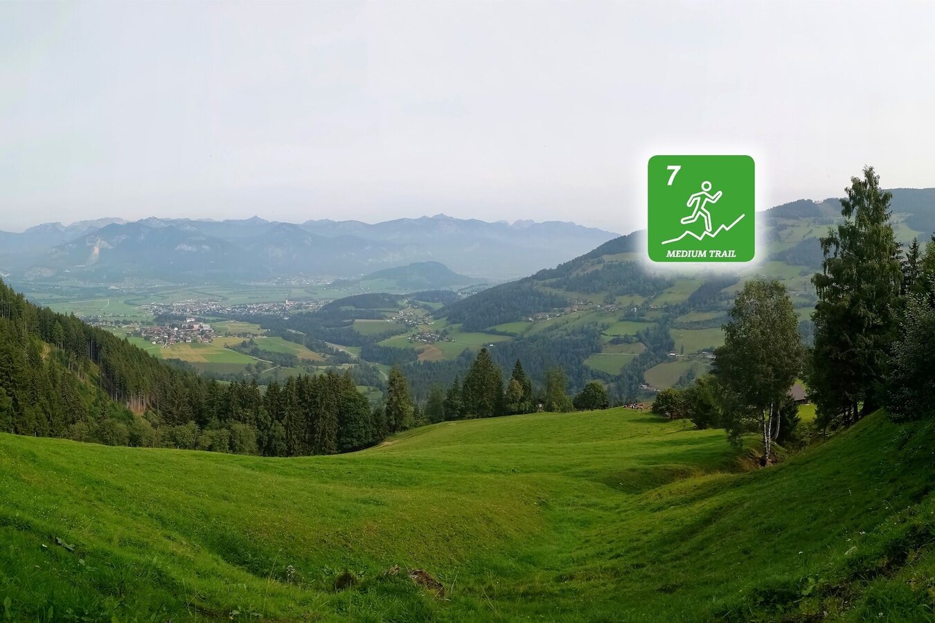
Trail number: 7
Coming from the B320, at the Trautenfels intersection in the direction of Irdning. Then in the direction of Donnersbach.At the Gasthof Rüscher or on the opposide from the Raiffeisenbank.
With the bus to the bussstop ,,Donnersbach Abzw Planneralm''. Near there is also the start point.
- Plan your trail in advanceInform yourself about the course of the trail and its demands
- Pay attention to weather forecasts and weather changes
- Let others know where you are going
- Adapt your equipment to the weather and the trail
- Be aware of livestock when crossing pastures
- Trail running shoes - no asphalt running shoes
- Running backpack or vest depending on the length of the tour hydration bladder or softflasks
- thin windbreaker
- first aid kit, including emergency blanket
- cell phone
- energy bar
- money
- change of shirt
- Headband
- Sunglasses
The Raumbergwald offers several variants that are always peppered with new views over the Enns Valley and fine single trails.Tourism information: www.schladming-dachstein.at
Tourism blog: www.derbergdastal.at
www.schladming-dachstein.at/de/Sommer/Wandern-und-Bergsport/Laufen-und-Trailrunning
Tourist Office Schladming-Dachstein
Ramsauerstrasse 756
8970 Schladming
T: +43 3687 23310
Garbage on meadows and paths can not smell mountain and valley. Please take it with you. Agriculture and forestry are important partners for Berg und Tal. They allow you to walk and drive on many of their paths. Be aware that only good cooperation will guarantee your recreational enjoyment in the future.
- Trailrunning map Schladming-Dachstein: available free of charge at all info locations


