Mushroom Nature Trail
Tour description
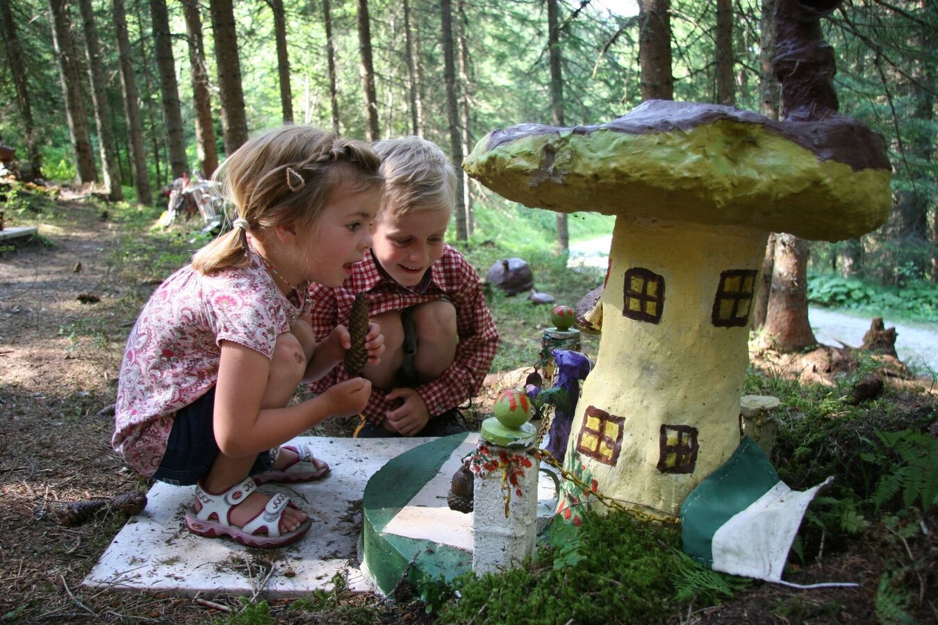
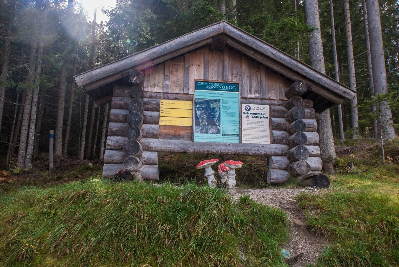
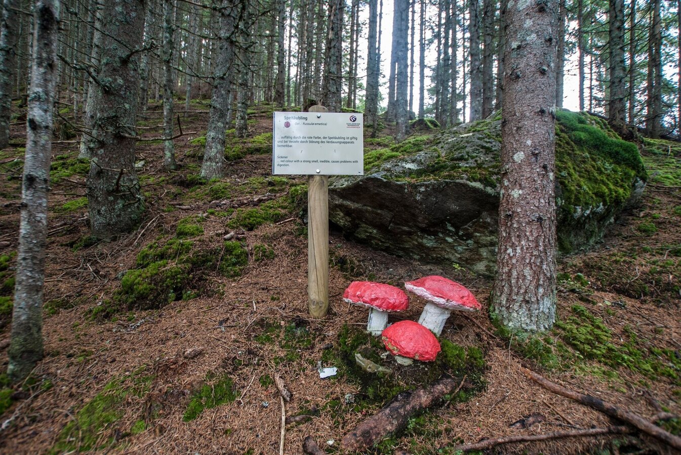
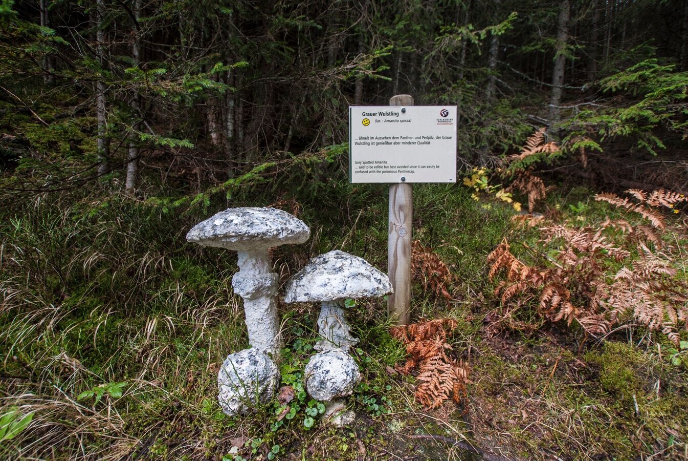
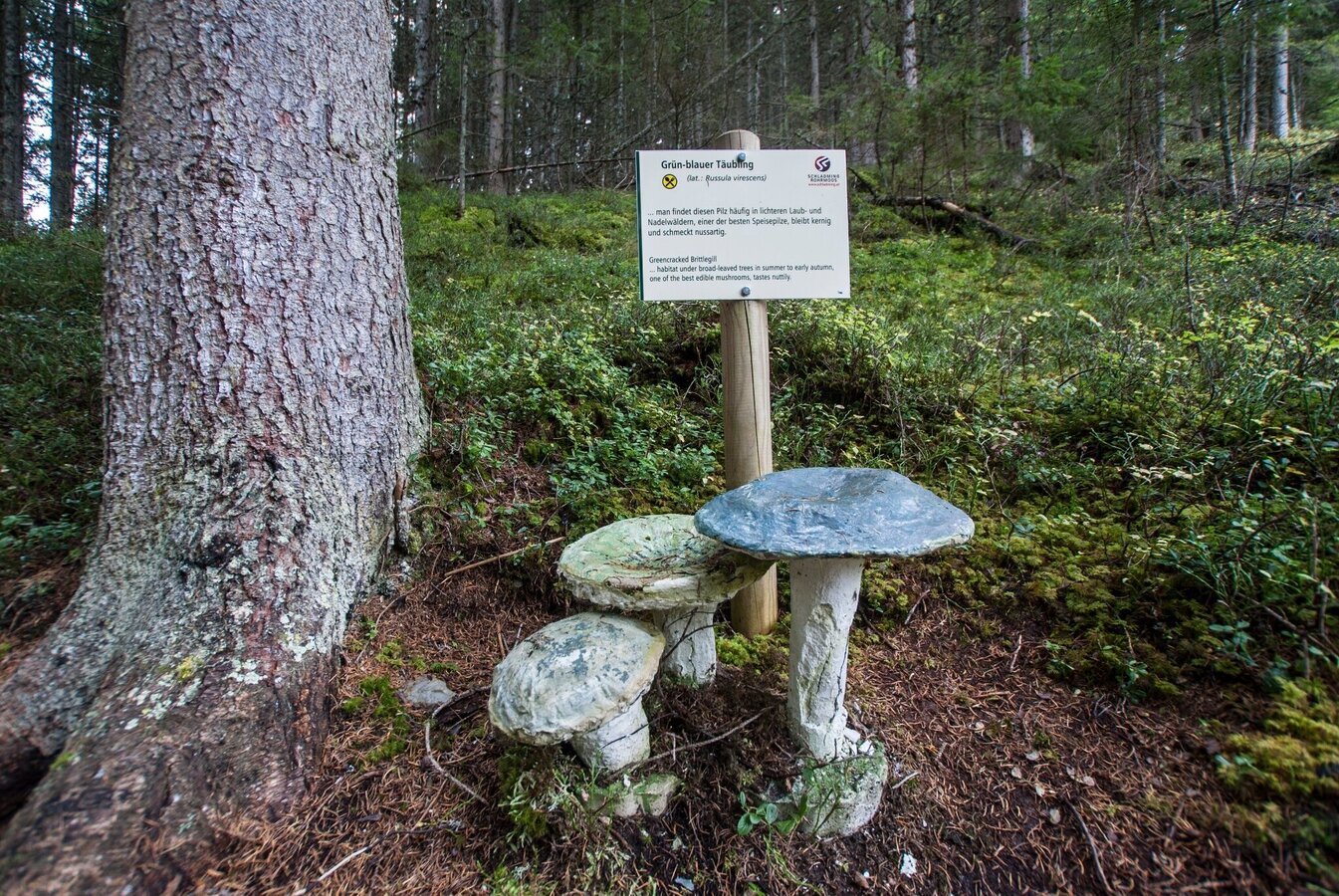
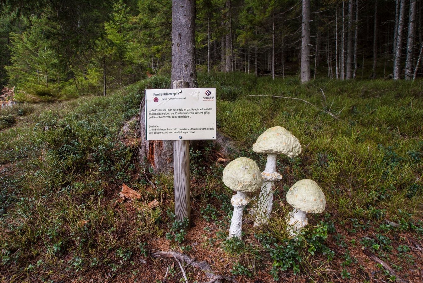
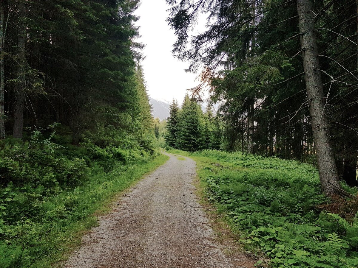
Family-friendly trail (also suitable for prams) in Rohrmoos with information about the local mushrooms. Illustrated signs teach us all kinds of interesting facts about native mushrooms. The route runs mainly through the forest along well-maintained forest paths that are suitable for buggies. Parking and toilets are available at the valley terminal of Gipfelbahn Hochwurzen cable car, where you can also get some refreshments at Familienhotel Austria.
The tour
Map, elevation profile & further information
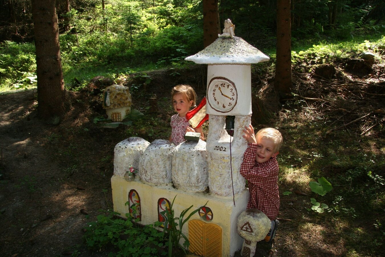
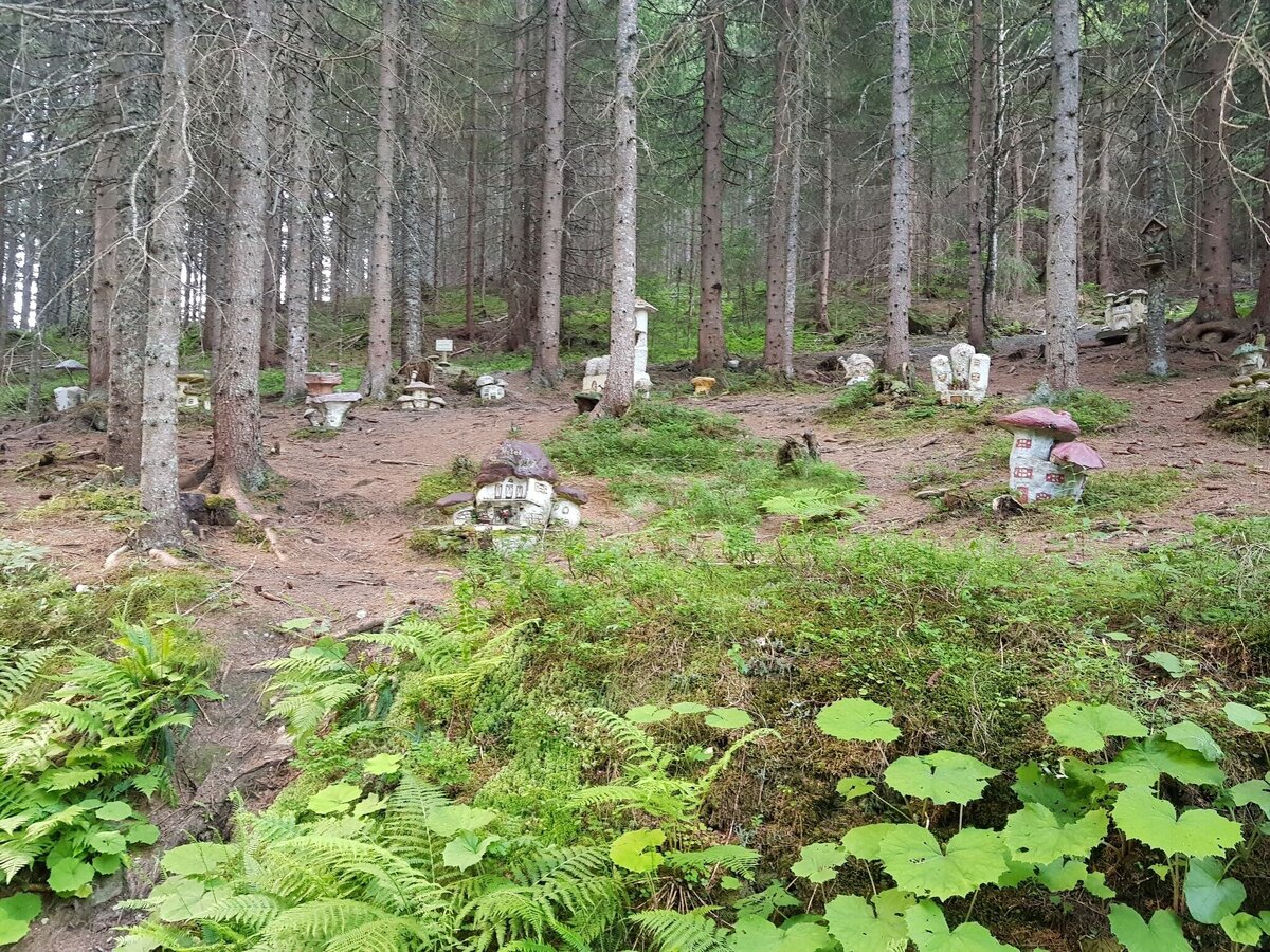
From the info boards at the hiking trail head in front of the valley terminal of Gipfelbahn Hochwurzen cable-car you pass by the sports shop „Schi Lenz“ on the left and walk towards the forestry road. Follow this for about 250 meters slightly uphill, then take the „Schwammerlweg“ (Mushroom Nature Path) to the left. Continue across the meadow and through the forst until you reach the “Mushroom Town”, a spot particularly popular with the kids.
Make a left there and follow the forestry road to the North until you reach the „Rohrmooser Frei“ meadows and the Rohrmoosstraße road. Walk up the troad for about 300 m and you‘re back at your starting point.
- Buses of Planai-Hochwurzen-Bahnen: www.planaibus.at
Changes in weather patterns, quick falls in temperature, thunderstorms, wind, fog and snow are some of the dangers that can be encountered on a hiking tour. Hosts of alpine huts and mountain refuges have a lot of experience in the mountains and can give good advice about weather and the trails. Poor equipment, overestimation of one's own capabilities, carelessness, poor personal constitution and/or wrong judgement can lead to critical situations. In case of thunderstorms: avoid summits, ridges and steel ropes.
GPS data and orienteering
Available GPS data - just like hiking maps - is only a guidance for orientation and can never depict a trail exactly with all its details. Especially at dangerous spots it is essential to judge on site how to proceed.
In an emergency please call:
- 140 - for Alpine emergencies (all over Austria)
- 112 - European GSM emergency number
Hiking or trekking shoes with grip sole, jacket.
The trail is also suitable for prams.
Information about bus schedules and cable car opening hours: www.planai.at
- Hiking map ‘Hiking WEST’ available at the information offices in the region.
- Schladming hiking map, 1:25,000, available at the Schladming information office.
- Hiking map Schladming-Dachstein, 1:50,000, available at the information offices in the region.
- Hiking guide Schladming-Dachstein by Herbert Raffalt, available at the information offices in the region.


