Märchenweg - Rittisberg
Tour description
The tour
Map, elevation profile & further information
With the buses of the Ramsauer Transport services from Schladming to Ramsau.
You can get off at the Ski Willy / Rittislift stop.
Bus schedule at www.rvb.at.
Changes in weather patterns, quick falls in temperature, thunderstorms, wind, fog and snow are some of the dangers that can be encountered on a hiking tour. Hosts of alpine huts and mountain refuges have a lot of experience in the mountains and can give good advice about weather and the trails. Poor equipment, overestimation of one's own capabilities, carelessness, poor personal constitution and/or wrong judgement can lead to critical situations. In case of thunderstorms: avoid summits, ridges and steel ropes.
GPS data and orienteering
Available GPS data - just like hiking maps - is only a guidance for orientation and can never depict a trail exactly with all its details. Especially at dangerous spots it is essential to judge on site how to proceed.
In an emergency please call:
- 140 - for Alpine emergencies (all over Austria)
- 112 - European GSM emergency number
In winter, caution is advised on even supposedly easy tours. The ground can be slightly icy in shady places, and there is a risk of avalanches on slopes. Mountain sports are therefore - all the more so in winter - subject to personal responsibility. Before every ski tour or snowshoe hike, the current avalanche report should be checked - available at www.lawine.at.
Tourism associations or avalanche warning services assume no liability for the information provided.
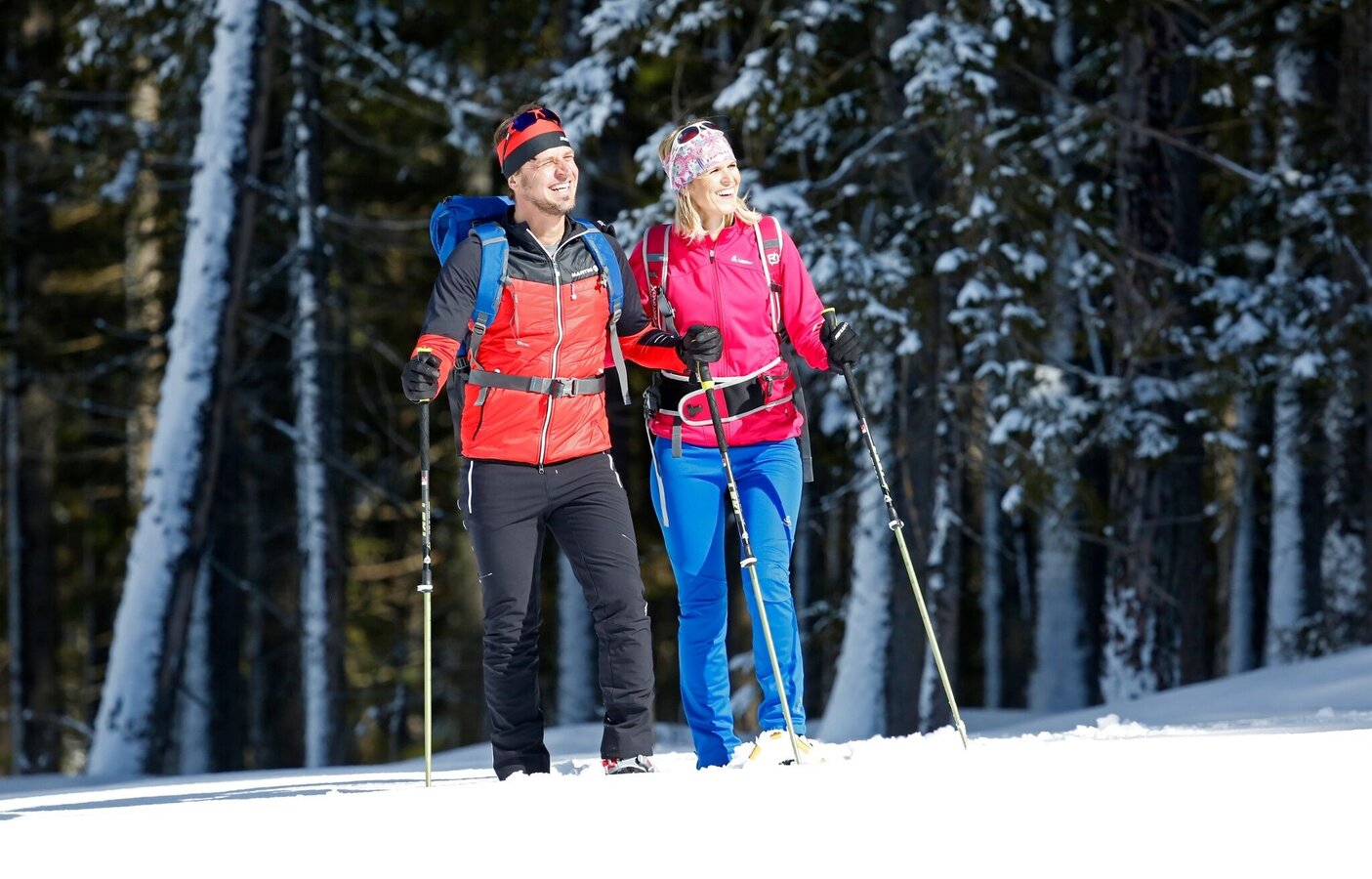
- Ski touring equipment consisting of skis / splitboard, skins and sticks
- Avalanche transceiver (LVS), shovel and probe
- Camisole & hood to change
- Sunglasses for the ascent, ski goggles & helmet for the descent
- Warm gloves, possibly light gloves for the ascent
- Thermos with a warm drink, e.g. tea and granola bars
You can find more information on the Ramsau ski region website.


