Grimming-Donnersbachtal
Climb to the Grimming, the "Mons Styriacus altissimus"- 2351m
Mountain tour
Data:

Tour description
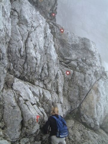
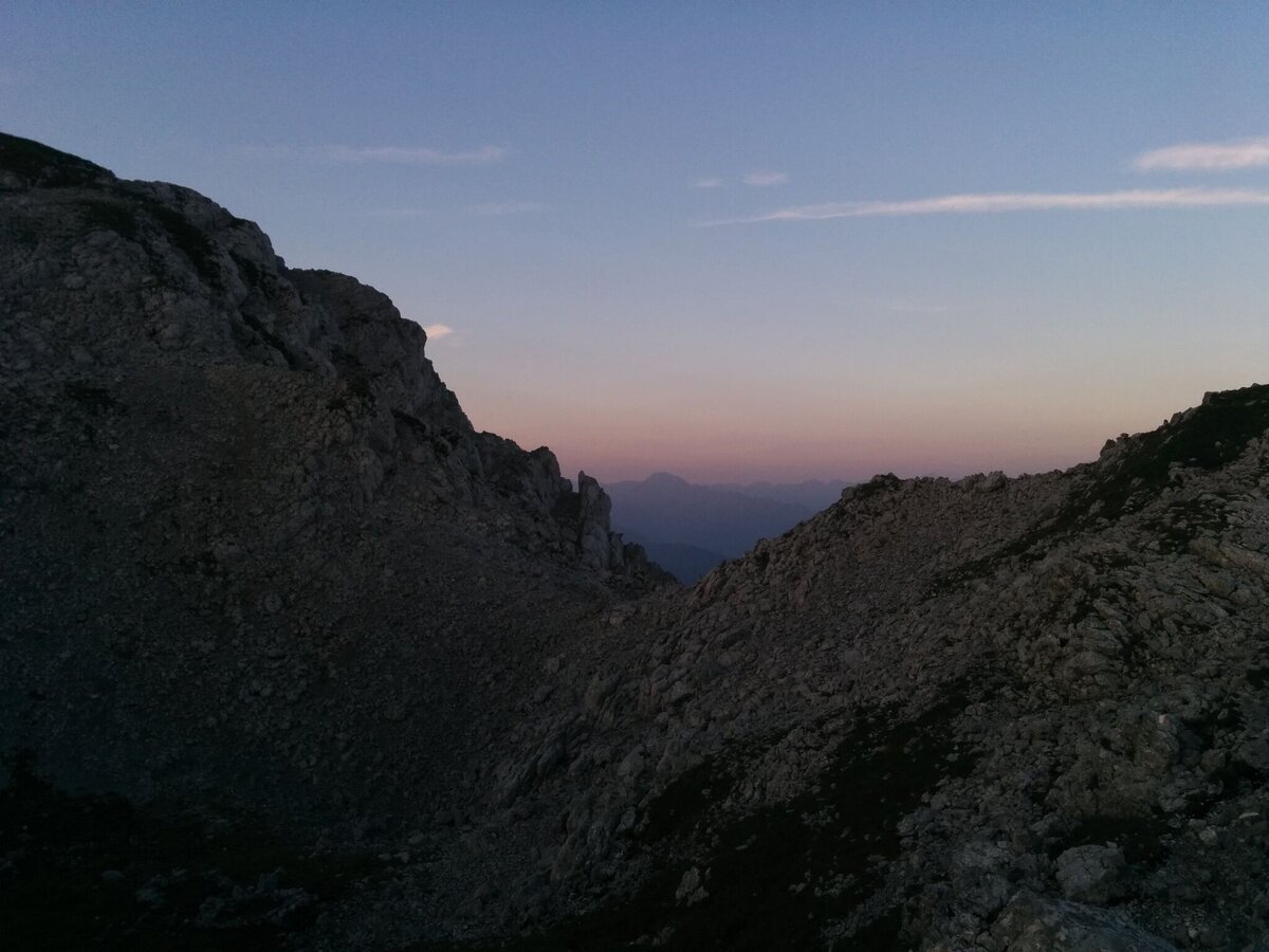
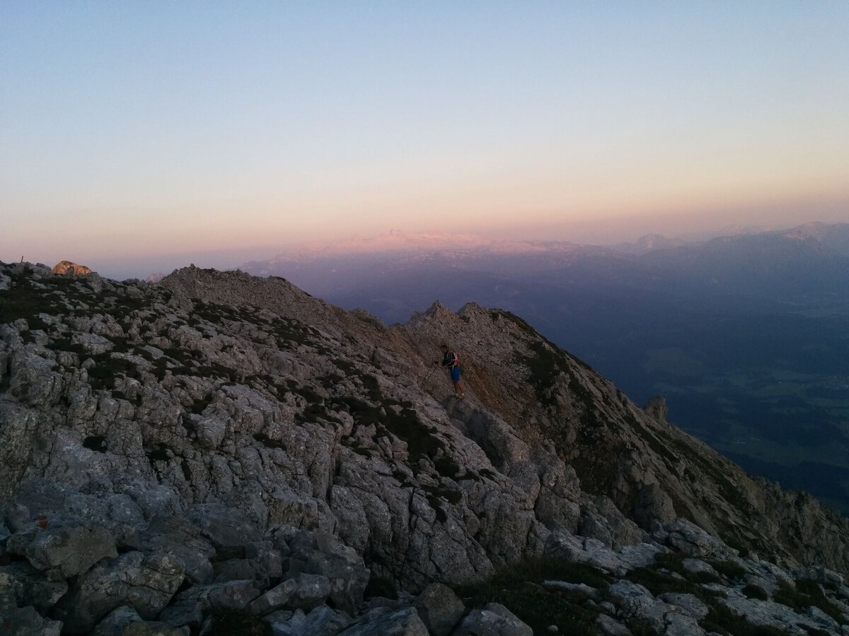
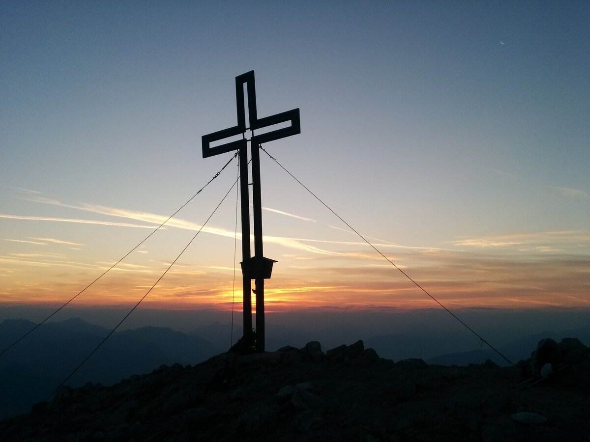
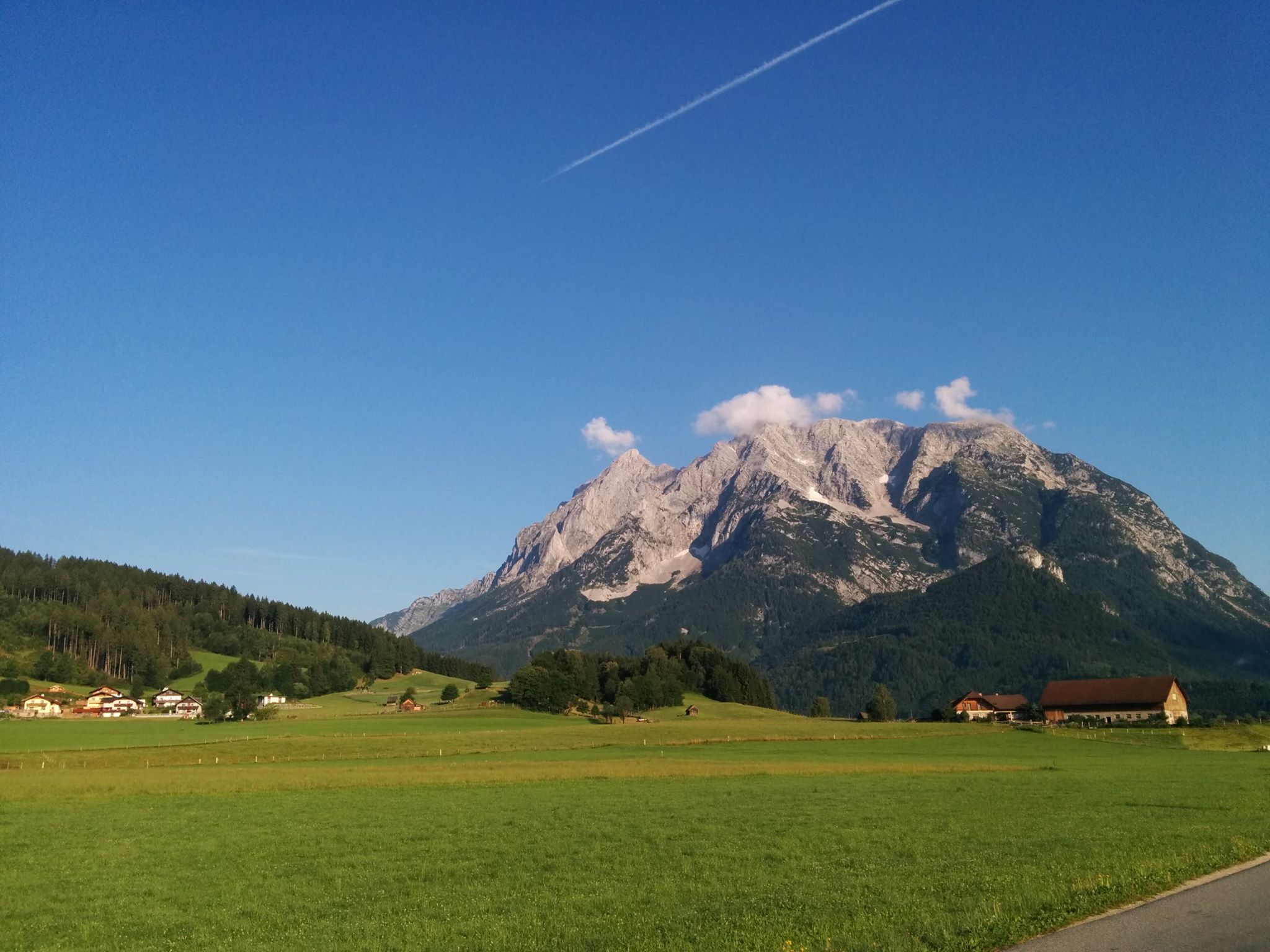
Paula Grogger, the well-known regional writer from Öblarn, creates a memorial to the Grimming in her book “Das Grimmingtor”. The Grimming, which towers directly over the Enns valley, was long considered Styria’s highest mountain. The view from the peak is spectacular. From Trautenfels caste, we hike initially for one hour through meadows and forest to the Grimming Hütte (elev. 996 m). There, the steep climb (no. 681) through the Au towards the cliffs begins. The hike leads through the cirque and over several rocky uplifts to a trail fork – to the left, the trail leads via the south-east ridge directly to the summit (only markings without numbers). We recommend tying off and/or a using a guide. To the right, marked path no. 681 leads to an alpine hollow and then up a rocky trail to the Multereck (elev. 2,176 m), the easternmost peak of the Grimming. Hiking up and down through hollows with splendid views, we make our way high above the Enns Valley to the top of the Grimming. Just below the peak is a bothy. For the descent, which takes us the same way, extreme caution is necessary, since there have already been many accidents here. There is also a descent to Klachau and the Klum ski jump in Bad Mitterdorf, which offers less of an elevation difference. Make arrangements for pick-up service.
The tour
difficult
publicly accessible
Starting and end point
Trautenfels castle or Niederstuttern/from Enns Valley
Tour characteristics
Fitness (5/6)
Skills (6/6)
Information
Distance: 13.94 km
Duration:
9 h
Ascent: 1759 m
Descent: 1759 m
highest point: 2351 m
Best season
Jan
Feb
Mar
Apr
May
Jun
Jul
Aug
Sep
Oct
Nov
Dec
Map, elevation profile & further information
High alpine, long mountain tour with great height difference.
On Ennstalbundesstraße B320 branch at the traffic light off towards Trautenfels.Trautenfels castle or Niederstuttern/from Enns Valley. Parkig is free.
With the bus to the busstop Trautenfels.
After the Grimminghütte (only 1 hour from the starting point) there is no base anymore. Alpine experience, stamina and surefootedness are absolute preconditions. Take care of the weather!! To put in your weatherproof backpack: Protection against sun and rain, as well as warm, windproof clothing, drinks and food, a small first aid kit, a hiking map and a fully charged mobile phone. Proper shoes are are essential of course.
For the Grimming ascent a helmet is a must.
Under the summit is a biby box for emergencies.
Tourisminformation: www.schladming-dachstein.at
Schladming-Dachstein Tourist Office
Ramsauerstraße 756
8970 Schladming
T: +43 3687 23310
info@schladming-dachstein.at
- SCHLADMING-DACHSTEIN Hiking EAST. Available free of charge from tourist offices and accommodation providers.
- SCHLADMING-DACHSTEIN Hiking Map 1:50,000
- KOMPASS Hiking Map 68, Ausseerland-Ennstal 1:50,000, hiking, cycling, ski touring


