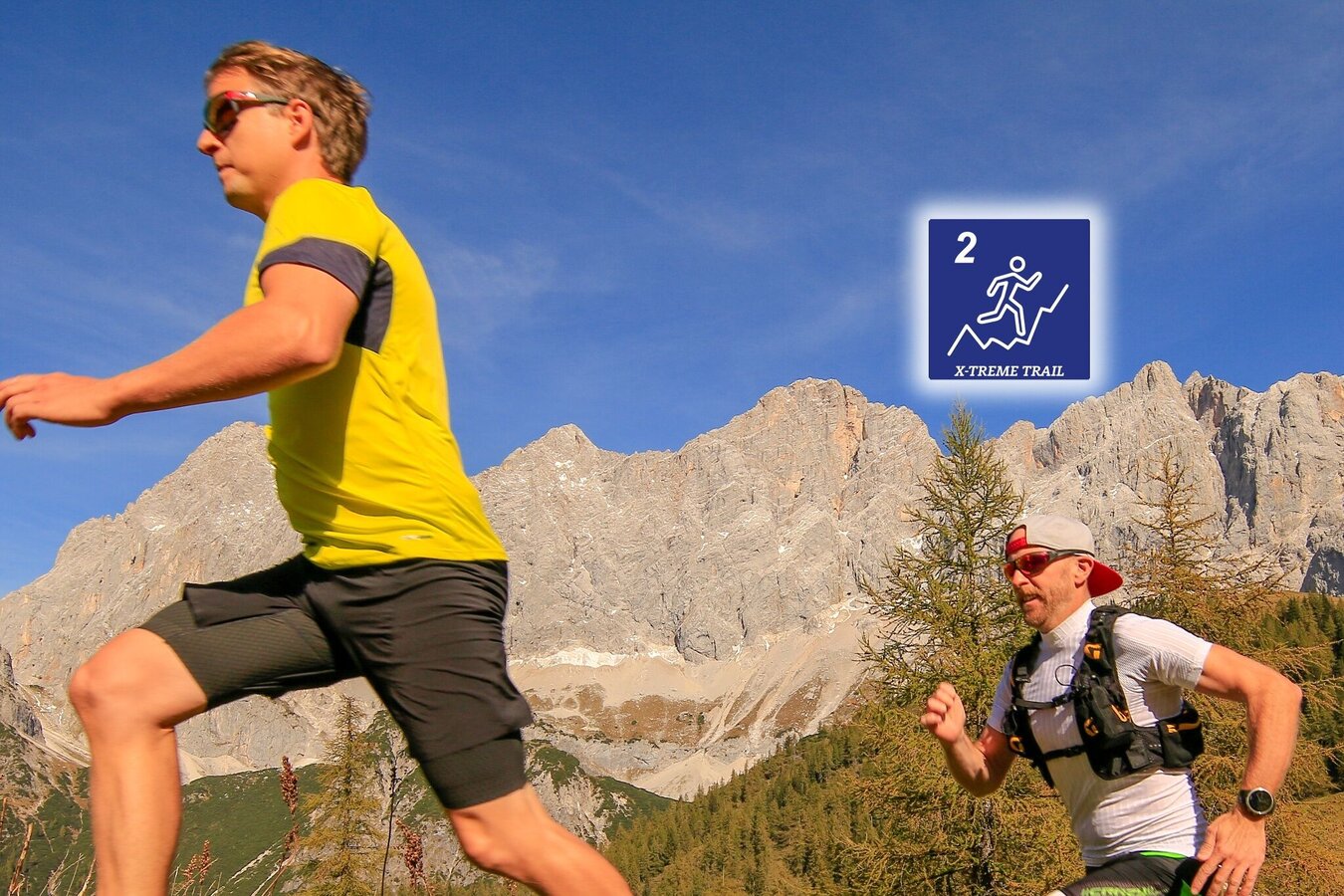
contact
ForYou Club
8 / 83 lifts
back
Ramsau am Dachstein

Torlauf (no. 2)

Tour description

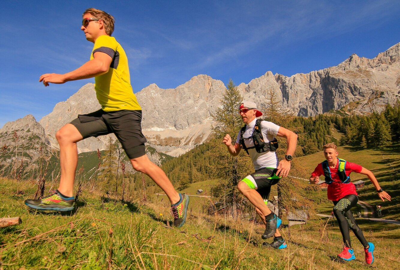
The beautiful surroundings of the Dachstein massif and the Dachstein on its own make this an unforgettable experience for every runner.  Face your limits! 

There is a reason why leading professional athletes, as well as world and Olympic champions, take on the challenges of the Dachstein massif on a yearly basis. 

A yearly competition is held here so that athletes can challenge themselves and compete against each other. 

Dates and further information can be found on www.torlauf-dachstein.info

The tour

difficult
Starting and end point Cross-Country Stadium Ramsau Ort
Tour characteristics
Fitness (6/6)
Skills (6/6)
Information
Distance: 42.2 km
Duration: 9 h 30 min
Ascent: 2400 m
Descent: 2400 m
highest point: 2527 m
Best season
Jan
Feb
Mar
Apr
May
Jun
Jul
Aug
Sep
Oct
Nov
Dec

Map, elevation profile & further information

Starting from the Cross-Country Stadium in Ramsau Ort - towards the jumping hill - take the Philosophers Path until you reach trail no. 2 - Sport Steiner and cross the street on the right of the church - down the street to Hofrat Gruber Weg - to the Old Mill - CAREFUL! approx. 200m before the mill: take the right to Hotel Edelweiß - Sattelberghütte and take the Strimitzweg to Almstube - through the Silberkar Canyon (entry fee) and up to Stangalm - Feistererscharte - Guttenberghaus - Gruberscharte and across the Landfriedtal trail no. 618 to Edelgrießhöhe - through the Edelgrieß (caution! high-alpine trails can be hard to see)  to Hotel Türlwandhütte - on to Südwandhütte - trail no. 6 to Marlam (Marboden) on the forestry path to Neustattalm across the street - Walcheralm up on a narrow path towards Hotel Dachstein - wider trail to Brandalm - Dachsteinhaus - Brandhof - Landhaus Ramsau - westbound to Jausenstation Walcher - head south: cross the street to Tannenweg - head east to Ramsau Beach - onto trail no. 1 - Helpferer - Landhaus Katharina - Trail no. 100 - Kulmberg Höhenweg to the crossing jumping hill - back to the stadium.   

From the west:Tauernautobahn A 10 to the Ennstal junction - exit in the direction of Graz/Schladming - around 20 km on the Ennstal federal highway to Schladming - Ramsau junction

From the north:Pyhrnautobahn in the direction of Liezen Ennstalbundesstraße to Schladming - Ramsau junction

Cross-country stadium Ramsau Ort

Ramsauer Verkehrsbetriebe timetable www.rvb.at

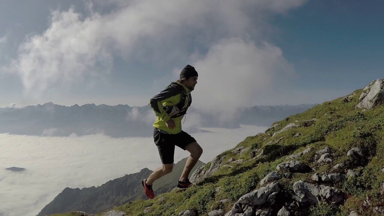
This is a high-alpine trail.

Be careful - there is a risk of injury! Please use trail running shoes or light hiking shoes. 

  • lange Hose und Shirt
  • Regenjacke und Regenhose (Wassersäule min. 10.000 ml)
  • Haube
  • Handschuhe
  • Trail- oder Laufschuhe mit guter Sohle
  • Trinkrucksack oder Trinkflasche und Müsliriegel oder Energiegel (min. 1 Liter Trinkflüssigkeit)
  • Orientierungskarte oder Lauffolder
  • Puls Uhr
  • Kleines Notfall Kit
  • Überlebensdecke
  • Ausweis
  • Stirnlampe
  • Handy für Notruf (mit QR-Code Erkennung damit Sie auch auf der Strecke an den Schildern den Code abscannen können

Wheather predicition

today
16.10.2025
Mountain -1 °C
Valley 11 °C
Precipitation
Probability
5 %
Amount
0.4 l/m²
Wind speed
Nord
10 km / h
Sun
Sun hours
2.9 h
Sunrise
07:26 o clock
Sunset
18:15 o clock

Fog and clouds will clear slowly and the day will be partly sunny.

tomorrow
17.10.2025
Mountain -1 °C
Valley 10 °C
Precipitation
Probability
5 %
Amount
0.4 l/m²
Wind speed
Nordwest
15 km / h
Sun
Sun hours
2 h
Sunrise
07:27 o clock
Sunset
18:13 o clock

Fog and clouds will clear slowly and the day will be partly sunny.

day after tomorrow
18.10.2025
Mountain -2 °C
Valley 9 °C
Precipitation
Probability
15 %
Amount
0 l/m²
Wind speed
Nordwest
35 km / h
Sun
Sun hours
6.9 h
Sunrise
07:29 o clock
Sunset
18:12 o clock

Dry and bright with plenty of sunshine, clouds will be rare

Tours nearby