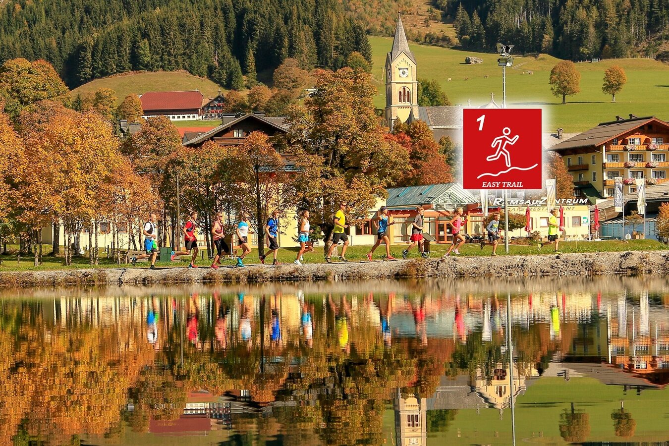
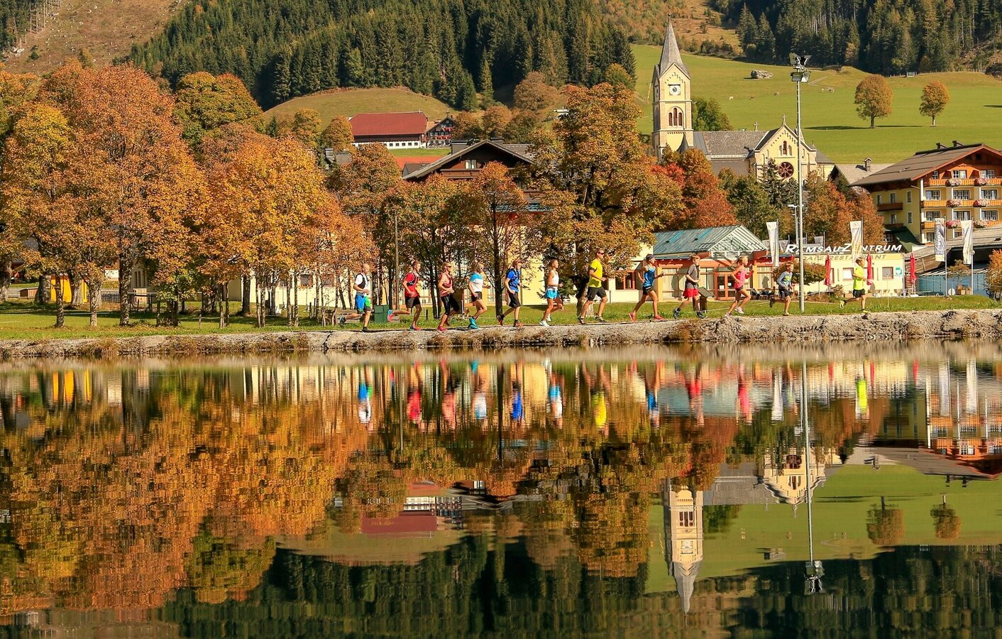
Ramsau am Dachstein
Familytrail (number 1)
Trailrunning
Data:
Tour description
90% of the route is on paved paths with gravel or light forest trails
10% of the route is on asphalt roads
The tour
easy
tour.detail.accessible-by-public-transport
Starting and end point
Langlaufstadion Ramsau Ort
Tour characteristics
Fitness (2/6)
Information
Distance: 5.8 km
Duration:
50 min
Ascent: 105 m
Descent: 105 m
highest point: 1214 m
Best season
Jan
Feb
Mar
Apr
May
Jun
Jul
Aug
Sep
Oct
Nov
Dec
Map, elevation profile & further information
Start cross-country stadium Ramsau Ort - on the road heading north to Hotel Knollhof (cross the main road once) - hiking trail 1 towards Dachsteinstraße at Hotel Landhaus across the road towards Ramsau Beach - continue on hiking trail 1 - Helpferer- Landhaus Katharina - hiking trail 100 - finish at the cross-country stadium Ramsau
From the west:Tauernautobahn A 10 to the Ennstal junction - exit in the direction of Graz/Schladming - around 20 km on the Ennstal federal highway to Schladming - Ramsau junction
From the north:Pyhrnautobahn in the direction of Liezen Ennstalbundesstraße to Schladming - Ramsau junction
Ramsauer Verkehrsbetriebe timetable www.rvb.at
Entlang der Strecke sind Landesstraßen undeinige Nebenstraßen zu überqueren.
Bitte um Vorsicht.
- Laufbekleidung
- Kopfbedeckung
- Trail- oder Laufschuhe mit guter Sohle
- Trinkrucksack oder Trinkflasche und Müsliriegel oder Energiegel
- Orientierungskarte oder Lauffolder
- Puls Uhr
- Kleines Notfall Kit
- Handy für Notruf (mit QR-Code Erkennung damit Sie auch auf der Strecke an den Schildern den Code abscannen können
Due to the risk of injury, you should not run in normal street shoes.


