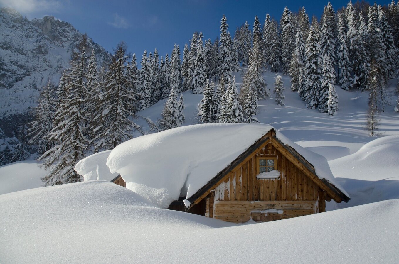
Wörschacher Raidling with descent over the Hochmölbinghütte
Tour description
This ski tour definitely belongs on your winter to-do list. You start at the Wörschachberg and go up to Schönmoos. Across forest and alpine pastures you walk along the ridge to the summit of the Raidling.
The tour
Map, elevation profile & further information
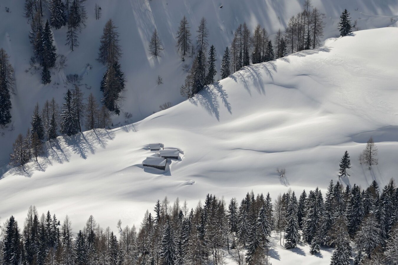
Starting from the Oberkogler Alm you walk along the forest road to Schönmoos. From there, continue through the forest in the direction of the Langpoltenalm, past the rugged walls of the Hochtausing. From the Langpoltenalm, expert knowledge of snow and avalanche awareness is required. Via the Langpoltenalm you follow the summer path to the Klamml and the so-called Grazer Steig to the "Gott sei Dank Bankerl". Afterwards you stride right along the ridge ridge to the summit of the Raidling. For the descent, you either choose the same route as for the ascent or the enjoyable deep snow descent on the north side of the Raidling to the Hochmölbinghütte. From there it's a short climb to the "Gott sei Dank Bankerl", where you reach the ascent track again and return to the starting point.
Leave the Ennstal federal road (B320) in Wörschach. In the village, turn off in the direction of Wörschachberg and drive up to the Oberkogler Alm.
Free parking at the Oberkogler Alm.
Arrival by public transport is only possible as far as Wörschach Ort. Unfortunately there is no bus service up the Wörschachberg.
Mountain sports and the assessment of the situation on site are - even more so in winter - primarily subject to personal responsibility. Tourism associations or avalanche warning services do not assume any liability based on the information provided.
- Check the weather and avalanche situation at www.lawine-steiermark.at before each ski tour.
- The use of the tour description is at your own risk and responsibility.
- Do not go on a ski tour alone. It's more fun together anyway!
- Always behave risk-conscious and react to danger signs!
- Respect existing regulations, such as hunting and game protection areas, reforestation or young growth areas.
- You should always have your cell phone well charged. Do you have the emergency numbers saved? Mountain rescue: 140. If you have no reception, take out the sim card and dial 112.
- Avalanche beacon, probe and shovel are essential in open terrain for this tour glacier equpiment is recommended.
- Ski touring equipment consisting of skis/splitboard, skins, poles and possibly crampons.
- Food, warm drinks, spare clothing and a first aid kit.
- Choose your clothing according to the onion layer principle.
- Maps and/or tour descriptions. GPX tracks on your mobile phone or GPS device are also helpful.
Double pleasure! Ski down to the Hochmölbinghütte in wonderful powder snow and stop at the hut!
Tourism information: www.schladming-dachstein.at
Tourism blog: www.derbergdastal.at
Tourist Office Schladming-Dachstein
Ramsauerstrasse 756
8970 Schladming
T: +43 3687 23310
Garbage on meadows and paths can not smell mountain and valley. Please take it with you. Agriculture and forestry are important partners for Berg und Tal. They allow you to walk and drive on many of their paths. Be aware that only good cooperation will guarantee your recreational enjoyment in the future.
Sport ScherzAt Riesneralm, Planneralm and in Wörschach+43 (0)3682 22383sport-scherz.at
Sport SchöttlAt Planneralm and in Irdning+43 (0)3682 22952 0sport.schoettl.at
Skitouring Folder available in every Information office.
KOMPASS Map 68, Ausseerland-Ennstal 1:50.000, Hiking, Biking, Ski tours


