Ski tour to the Hochrettelstein
Tour description
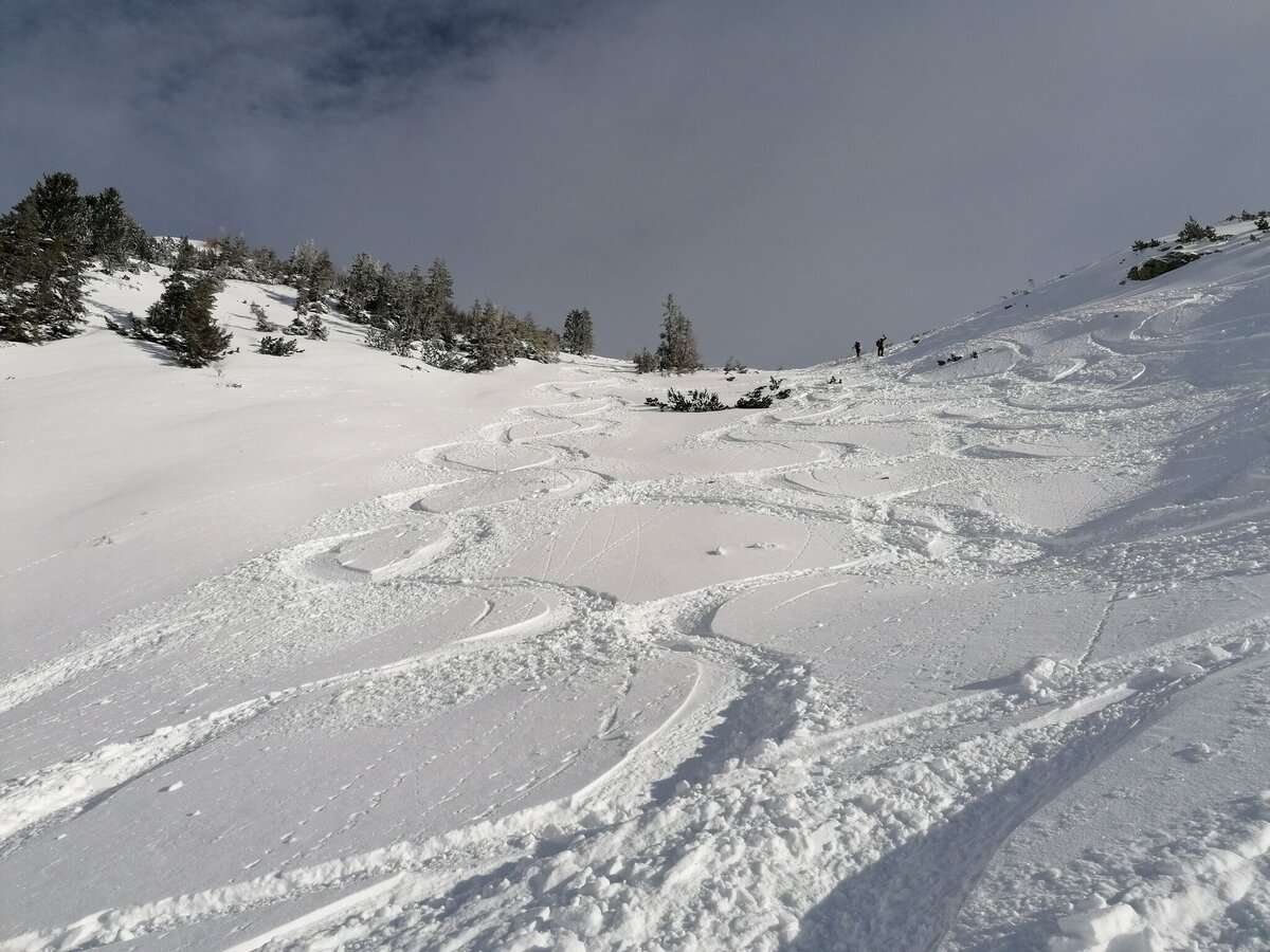
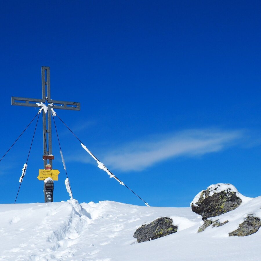
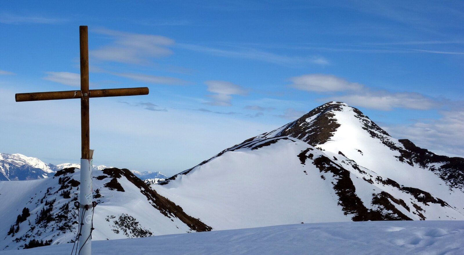
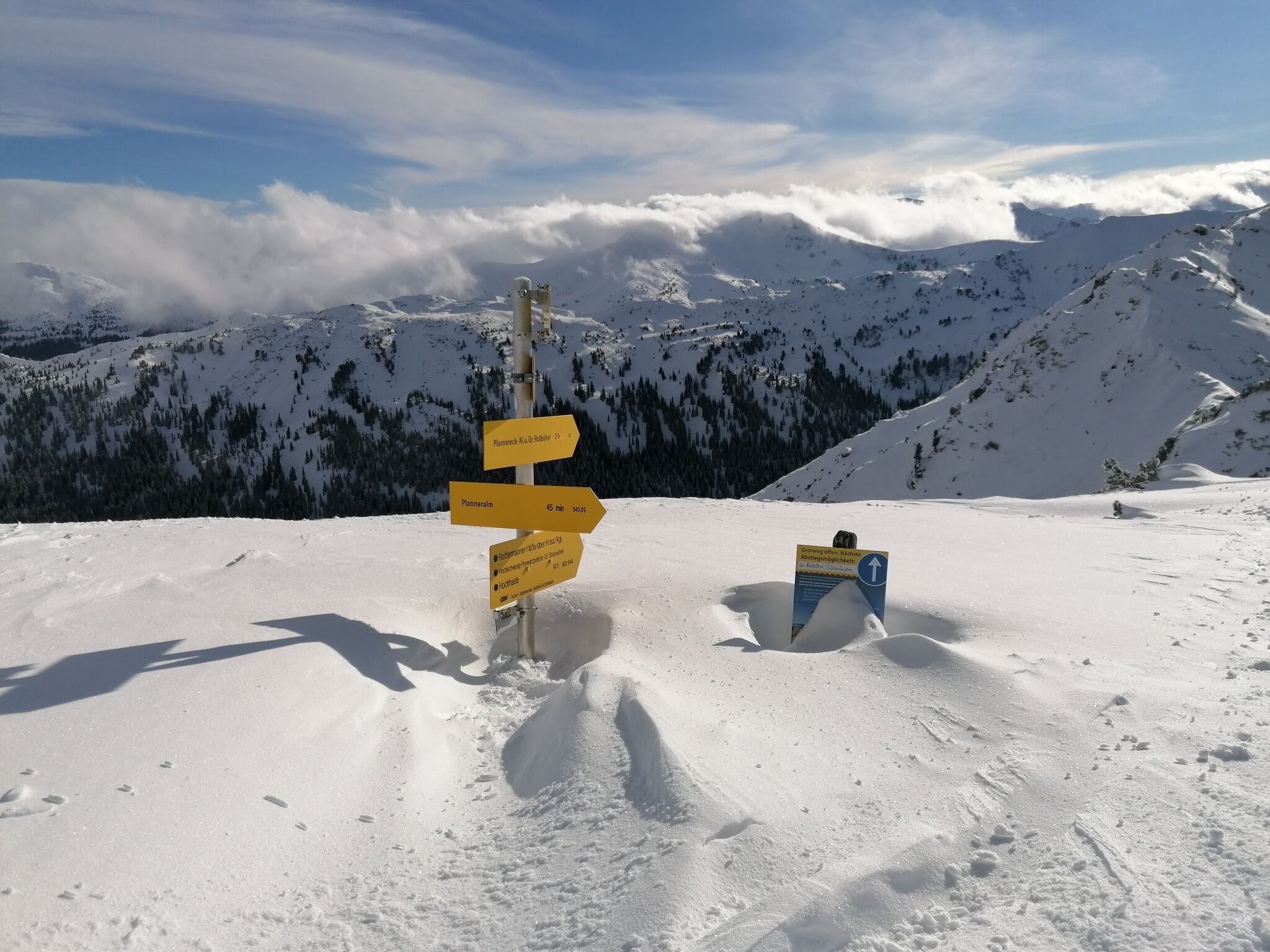
This ski tour takes you to the highest ski touring mountain on the Planneralm: past the snow-covered Plannersee, you go up to the Plannerknot and then along the ridge to the summit cross of the Hochrettelstein at 2,220 m. Here it is time to rest! With momentum you then drive along the ascent track back to Almdorf.
The tour
Map, elevation profile & further information
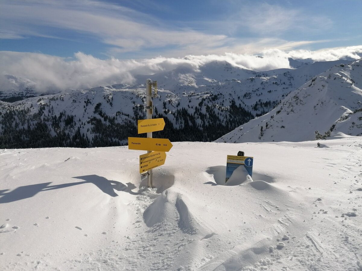
On this ski tour you start at the mountain rescue house. At the beginning, next to the ski slope, it leads you first to the Plannersee and then somewhat steeper up to the Plannerknot. From here you traverse a long way to a small saddle before you climb again more steeply to the summit of the Hochrettelstein, with a beautiful summit cross. As a downhill variant you have the following options:
- Following the ascent track back to the Planneralm
- From the summit to the southeast into the Plienten and in another two hours to the Plientensattel, then briefly very steep to the Große Rotbühel and finally on the ski slope Gläserboden down to the Planneralm. The descent into the Plienten is one of the longest in Styria with its 850 meters of altitude.
Mountain sports and the assessment of the situation on site are - even more so in winter - primarily subject to personal responsibility. Tourism associations or avalanche warning services do not assume any liability based on the information provided.
- Check the weather and avalanche situation at www.lawine-steiermark.at before each ski tour.
- The use of the tour description is at your own risk and responsibility.
- Do not go on a ski tour alone. It's more fun together anyway!
- Always behave risk-conscious and react to danger signs!
- Respect existing regulations, such as hunting and game protection areas, reforestation or young growth areas.
- You should always have your cell phone well charged. Do you have the emergency numbers saved? Mountain rescue: 140. If you have no reception, take out the sim card and dial 112.
- Avalanche beacon, probe and shovel are essential in open terrain.
- Ski touring equipment consisting of skis/splitboard, skins, poles and possibly crampons.
- Food, warm drinks, spare clothing and a first aid kit.
- Choose your clothing according to the onion layer principle.
- Maps and/or tour descriptions. GPX tracks on your mobile phone or GPS device are also helpful.
- Ski touring and safety equipment can be rented at Sport Scherz and Sport Schöttl.
A sunny resting place is offered at the dilapidated Neualm. On your return, huts and inns on the Planneralm invite you to stop for a bite to eat.
Tourism information:
T: +43 3687 23310
Garbage on meadows and paths can not smell mountain and valley. Please take it with you. Agriculture and forestry are important partners for Berg und Tal. They allow you to walk and drive on many of their paths. Be aware that only good cooperation will guarantee your recreational enjoyment in the future.
Sport ScherzAt Riesneralm, Planneralm and in Wörschach+43 (0)3682 22383sport-scherz.at
Sport SchöttlAt Planneralm and in Irdning+43 (0)3682 22952 0sport.schoettl.at
Avalanche workshops are offered by the local ski school:
Ski & Freeride School Planneralm+43 (0)660 7445538www.freeski.school
Skitouring Folder available in every Information office.
KOMPASS Map 68, Ausseerland-Ennstal 1:50.000, Hiking, Biking, Ski tours


