Skitour to the Kreuzberg

Tour description
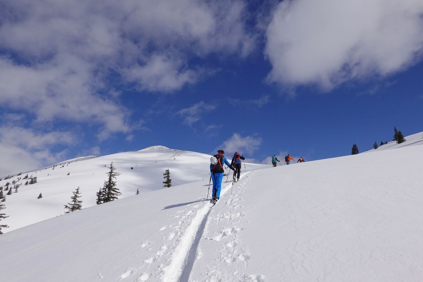
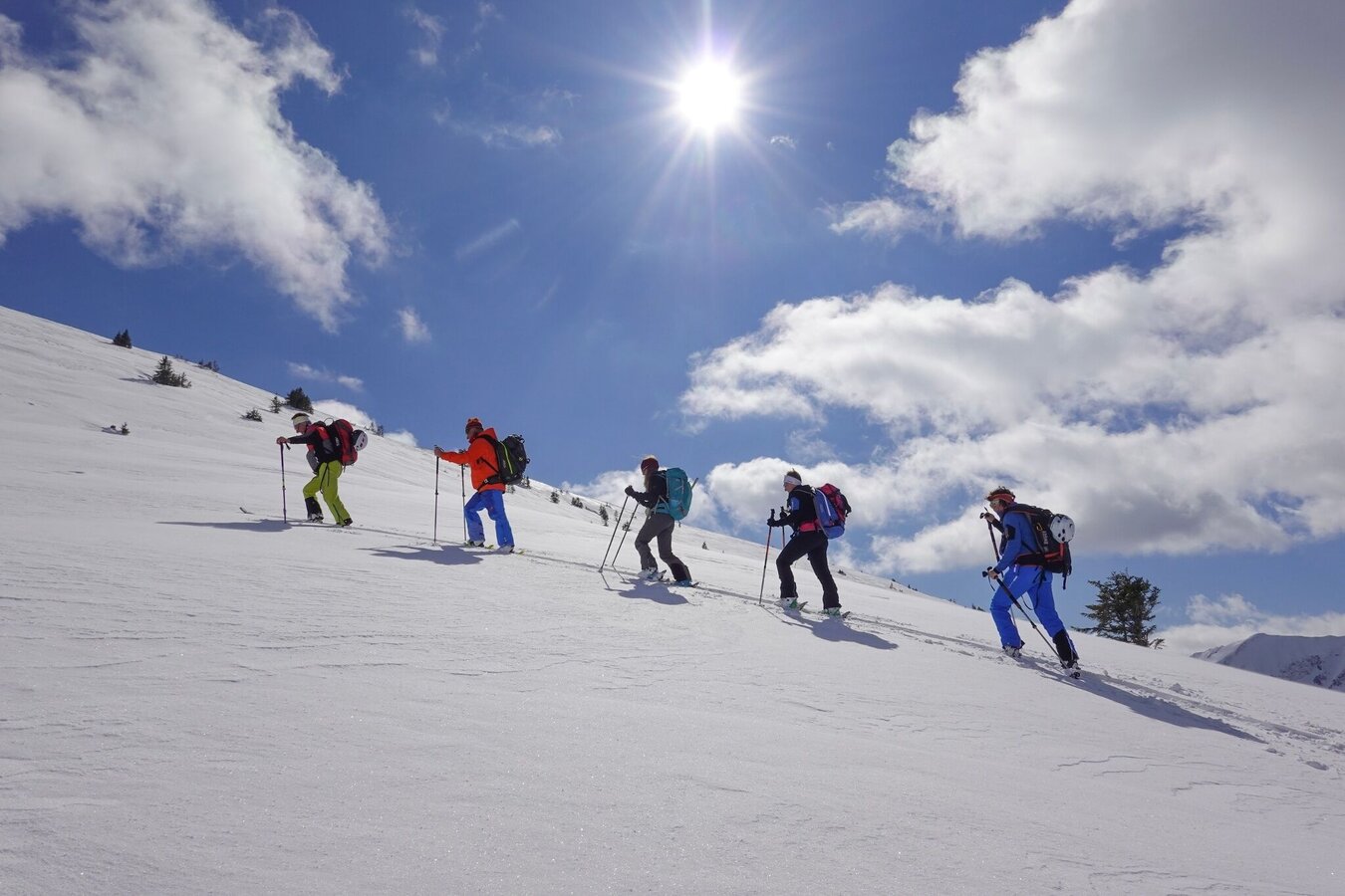
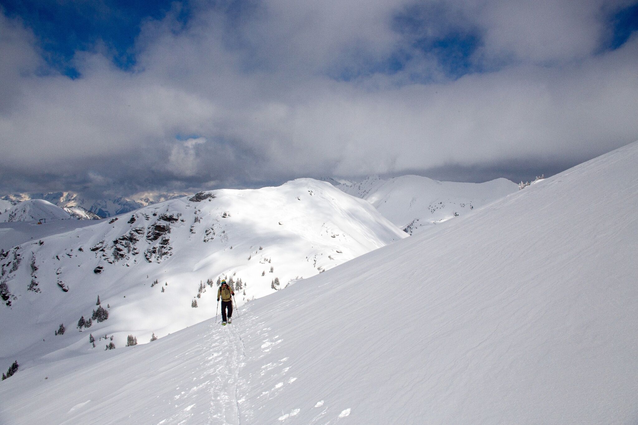
The tour
Map, elevation profile & further information
Turn off the Ennstalbundesstraße (B320) at the crossing Trautenfels in direction Irdning, Donnersbach, Donnersbachwald. In Donnersbach after the center of the village turn left towards Planneralm. 12 km long driveway over the toll-free mountain road up to the Planneralm.
Parking is free for guests who have a valid ski ticket. Ski tourers without a ski ticket contribute to the maintenance of the infrastructure with a fee of 12 euros per car per day. This contribution is either collected directly from the parking attendants or can be paid conveniently at the lift ticket office.
There is a ski bus to the Planneralm on weekends in winter and during the Styrian and Viennese semester vacations.
Here is the timetable.
Mountain sports and the assessment of the situation on site are - even more so in winter - primarily subject to personal responsibility. Tourism associations or avalanche warning services do not assume any liability based on the information provided.
- Check the weather and avalanche situation at www.lawine-steiermark.at before each ski tour.
- The use of the tour description is at your own risk and responsibility.
- Do not go on a ski tour alone. It's more fun together anyway!
- Always behave risk-conscious and react to danger signs!
- Respect existing regulations, such as hunting and game protection areas, reforestation or young growth areas.
- You should always have your cell phone well charged. Do you have the emergency numbers saved? Mountain rescue: 140. If you have no reception, take out the sim card and dial 112.
- In addition to food and warm drinks, pack spare clothing and a first aid kit in your backpack.
- Choose your clothing according to the onion layer system.
- An avalanche transceiver, probe and shovel are a prerequisite in alpine terrain.
- You should also pack maps and/or tour descriptions. GPX tracks on your cell phone or GPS device will also help.
- Ski touring and safety equipment can be rented at Sport Scherz and Sport Schöttl.
Tourism information: www.schladming-dachstein.at
Tourism blog: www.derbergdastal.at
Tourist Office Schladming-Dachstein
Ramsauerstrasse 756
8970 Schladming
T: +43 3687 23310
Garbage on meadows and paths can not smell mountain and valley. Please take it with you. Agriculture and forestry are important partners for Berg und Tal. They allow you to walk and drive on many of their paths. Be aware that only good cooperation will guarantee your recreational enjoyment in the future.
Sport ScherzAt Riesneralm, Planneralm and in Wörschach+43 (0)3682 22383sport-scherz.at
Sport SchöttlAt Planneralm and in Irdning+43 (0)3682 22952 0sport.schoettl.at
Avalanche workshops are offered by the local ski school:
Ski & Freeride School Planneralm+43 (0)660 7445538www.freeski.school
GRIMMING-DONNERSBACHTAL Hike & Bike Map (1:31.000). Available free of charge at the tourist offices of Berg & Tal.SCHLADMING-DACHSTEIN Hike Map (1:50.000)
KOMPASS Map 68, Ausseerland-Ennstal 1:50.000, Hiking, Biking, Ski tours


