Stage 01 From Glacier to Wine South Route Dachstein Gondola - Guttenberghaus
Tour description
The tour
Map, elevation profile & further information
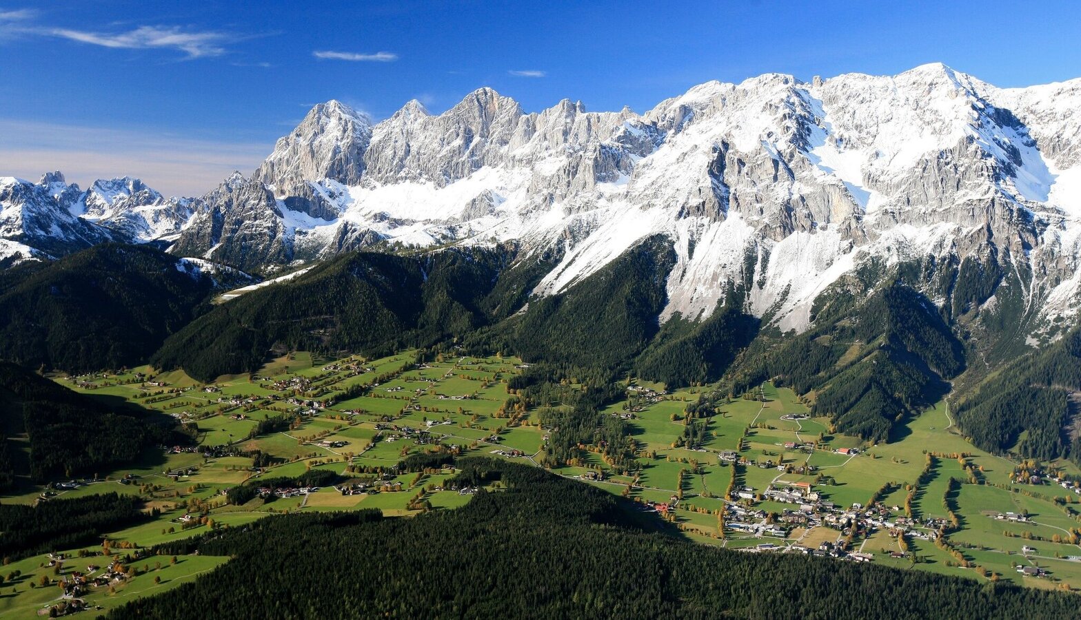
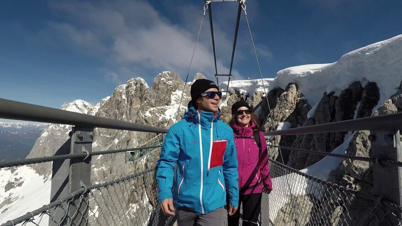
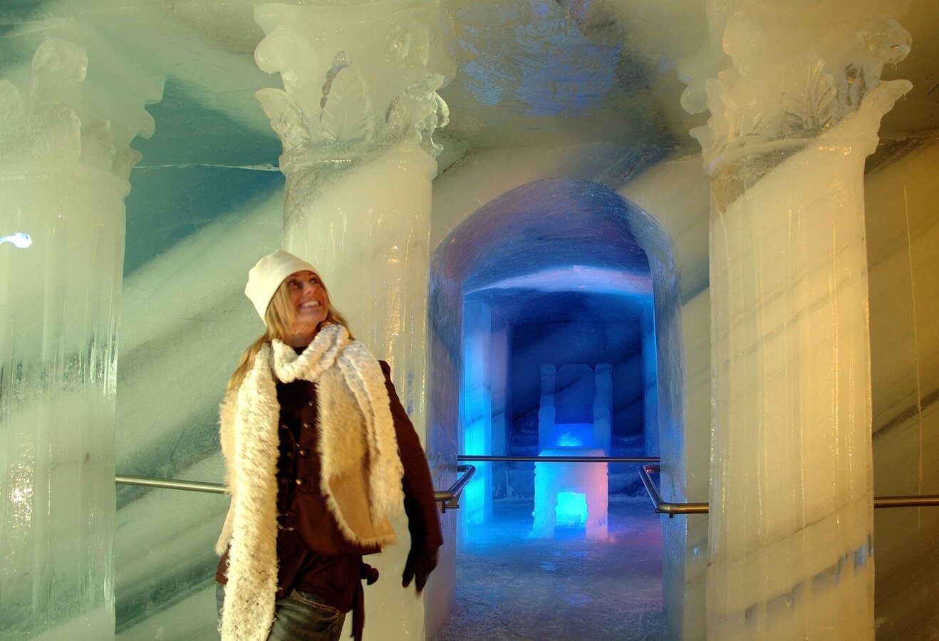
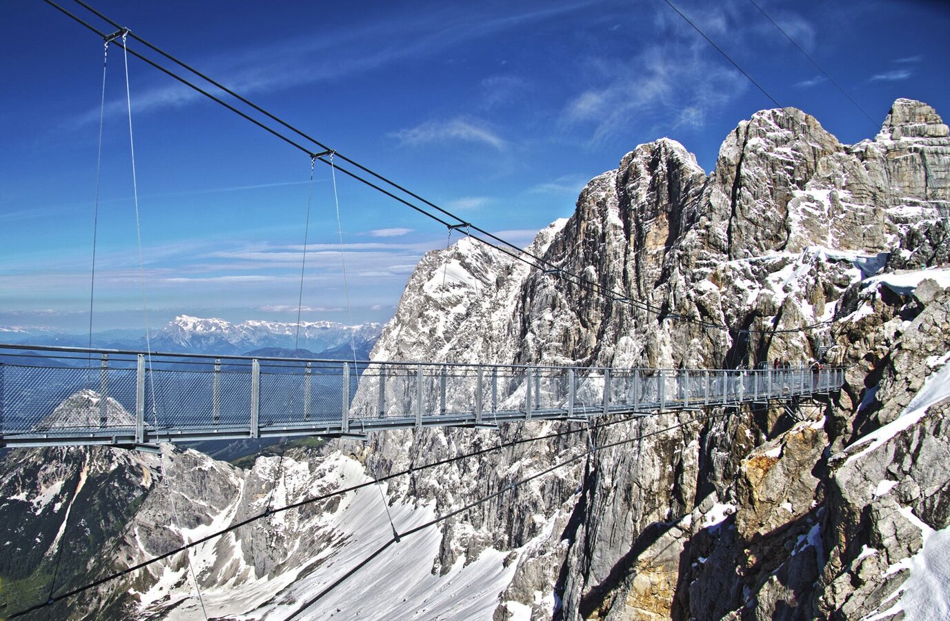
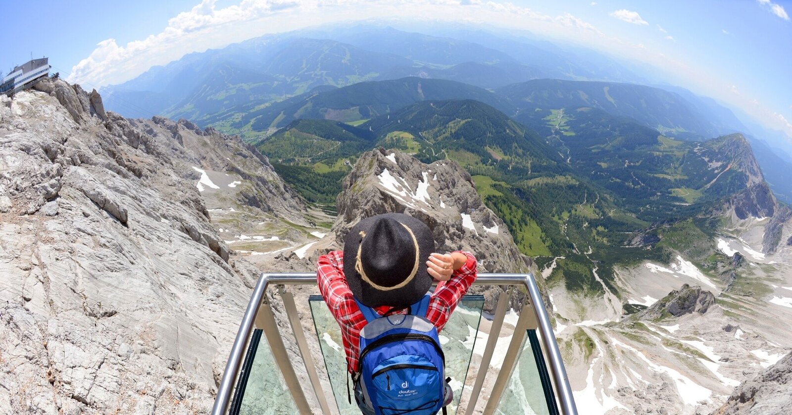
After taking the Dachstein Gondola up to the mountain station, you will have some time to enjoy the views from the ‘Sky Walk’ and the suspension bridge. Your views reach from the Großglockner across the Karawanken to the Styrian-Slovenian mountain range in the south and, the wine regions in the east.
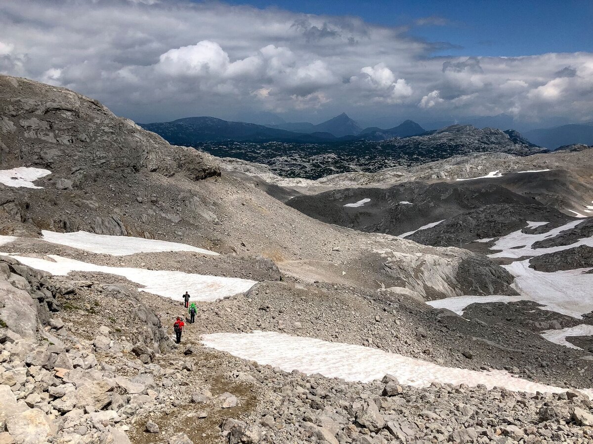
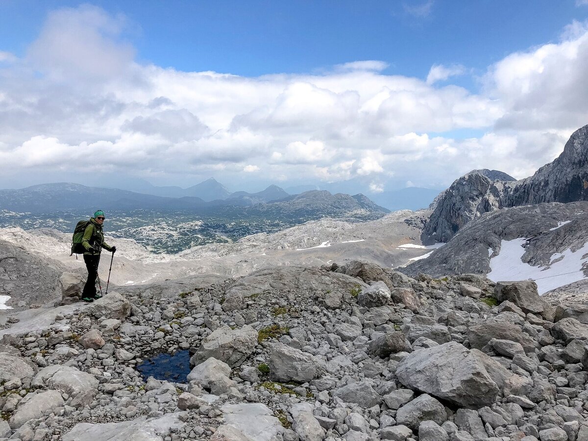
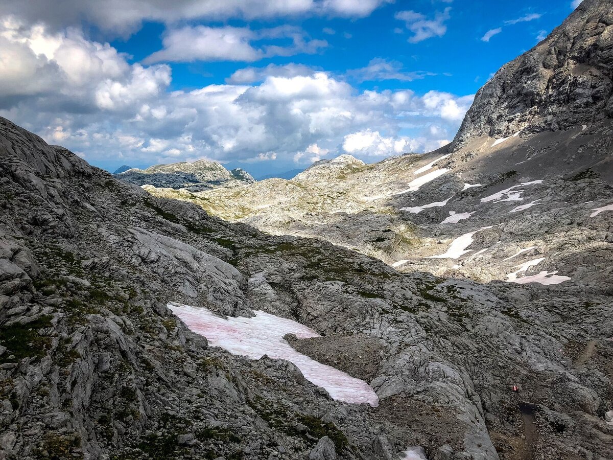
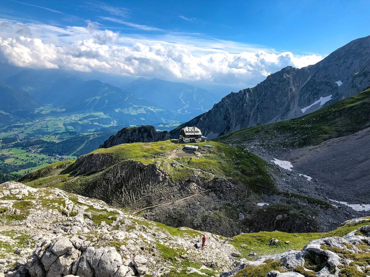
Follow the path to Guttenberghaus, towards Gjaidstein and stay to the left of the drag lift. You can use the snow poles, the coloured marking on the rocks and, the cairns for your orientation. To your right are the steep rock walls of the Koppenkarstein, to your left the Gjaidstein and far back on the horizon lies the gorgeous mountain range of the Totes Gebirge and the Grimming.
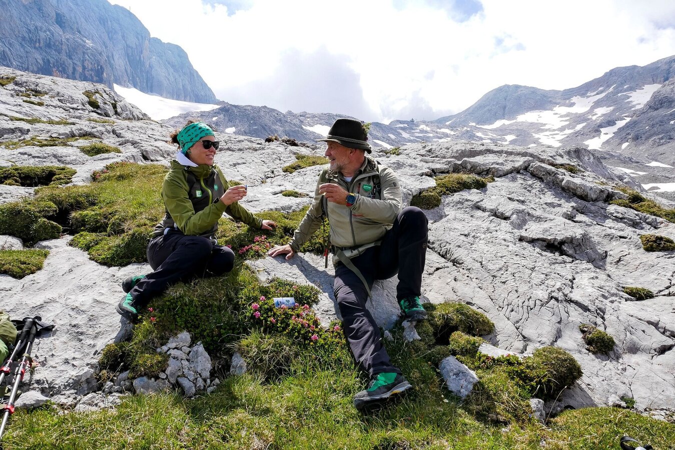
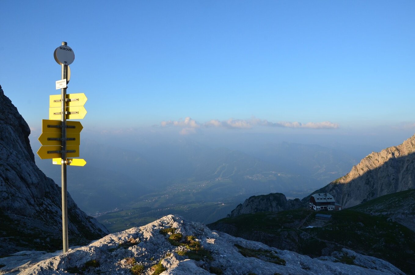
Passing the summit of the Landfriedstein and Eselstein, you will reach the Feistererscharte, where 2 paths will cross. Path no. 616 leads across high-alpine terrain Am Stein to the Krippenstein in the north of Dachstein’s plateau and, the path no. 616 to the already visible Guttenberghaus (Tel. +43 664 3022956) with its alpine pastures and meadows, 1000 m below the hut. You can look forward to good Styrian cuisine and beautiful views of the Schladminger Tauern.
Now you have to decide which direction you will take on stage 2: Stage 2 – North Route or Stage 2 – South Route?
Be careful: Do not combine Stage 1 and 2 on one day. The total length of 20 km may be misleading as the windy and rocky terrain with its ascents and descents make this path too strenuous to complete on a single day!
ÖBB www.oebb.at or Verbundlinie Steiermark www.busbahnbim.at
Steiermark Tourismus, Tel. +43 316 4003, www.steiermark.com
Schladming-Dachstein, Tel. +43 3687 23310, www.schladming-dachstein.at
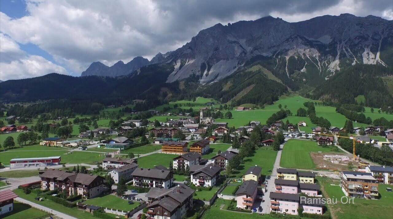
Ramsau am Dachstein, Tel. +43 3687 818338, www.ramsau.com
Pocket Card Wanderroute "Vom Gletscher zum Wein" (in German) www.steiermark.com
Wanderkarte Schladming-Dachstein, 1:50.000 www.schladming-dachstein.at
Kompass WK293 Dachsteingruppe, Schladminger Tauern www.kompass.at
Freytag & Berndt WK281 Dachstein · Ausseer Land · Filzmoos · Ramsau www.freytagberndt.at
Rother Wanderführer "Vom Gletscher zum Wein" (in German): www.rother.de


