Glacier hike to the Seethalerhütte

Tour description
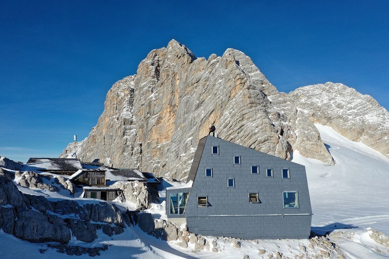
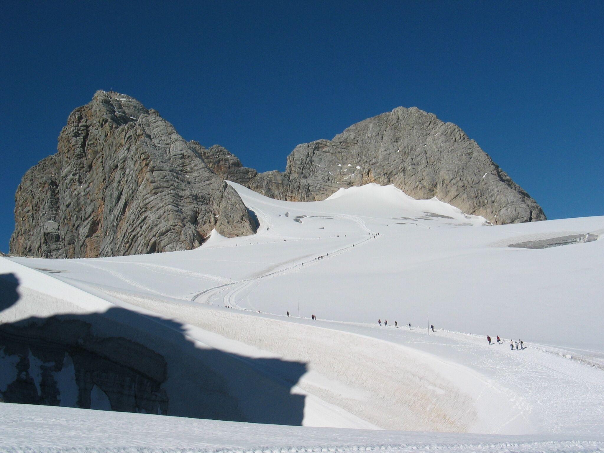
A fascinating glacier walk to the largest kolk of the Eastern Alps: a large snow ridge surrounds the "Dirndl" which rise like a ship bow from the glacier. Go straight ahead towards the Dachstein and the groomed track will lead you to the Seethalerhütte. This mountain hut was originally built as a mountain shelter for mountaineers and offers a stunning view of the Dachstein Südwand (south face). Walk back the same way.
The tour
Map, elevation profile & further information
From the west:
Tauern Autobahn (A 10) to Knoten Ennstal - turnoff direction Graz/Schladming - stay on the Ennstal-Bundesstraße (B320) for approx. 20 km until Schladming - take the turnoff for Ramsau.
From the north:
Pyhrn Autobahn (A 9) direction Liezen - take the Ennstal-Bundesstraße (B320) to Schladming - turnoff Ramsau.
Dachstein Gondola Bottom StationSee the timetables HERE
Hiking map Schladming-Dachstein, 1:50,000, available in the information offices
Hiking guide Schladming-Dachstein by Herbert Raffalt (available only in German), available in the information offices


