Ridge hike via Kothütten lake to Karlspitz

Tour description
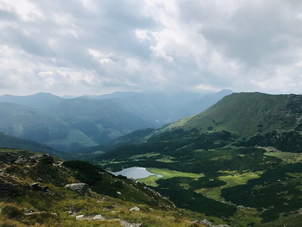
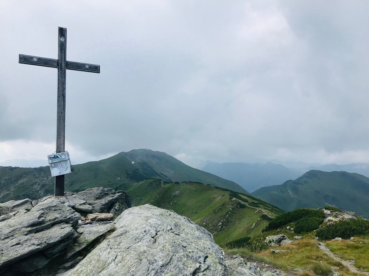
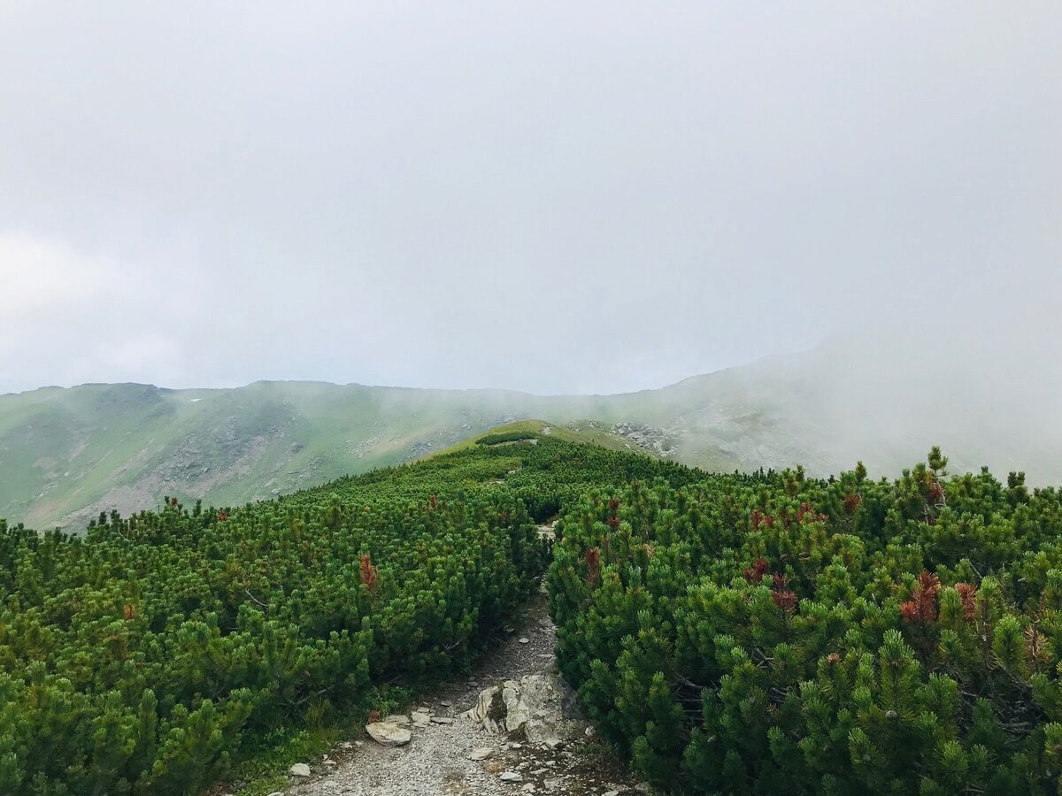
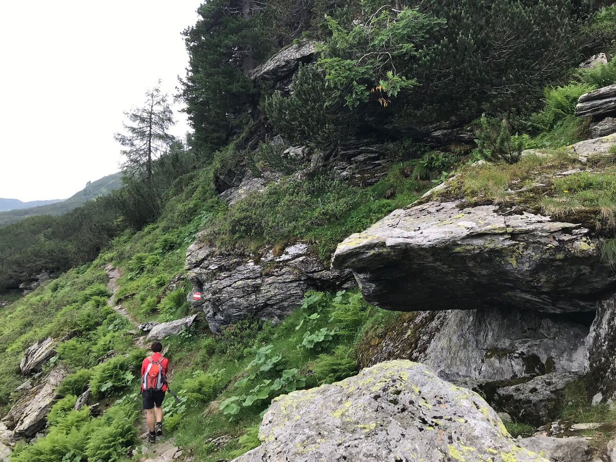
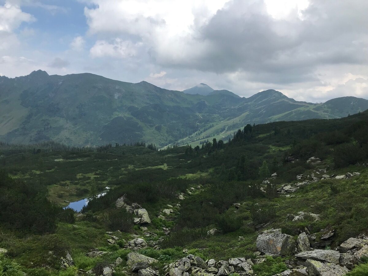
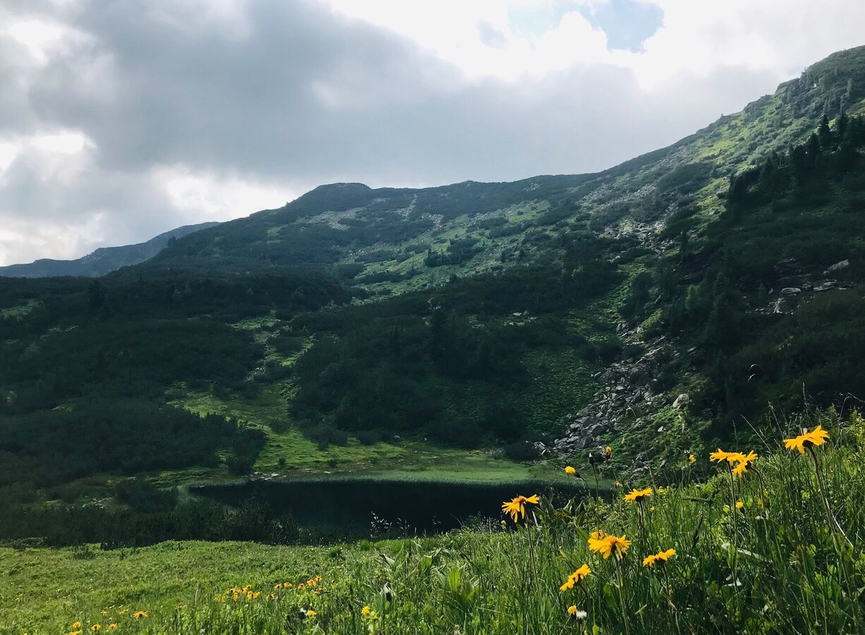
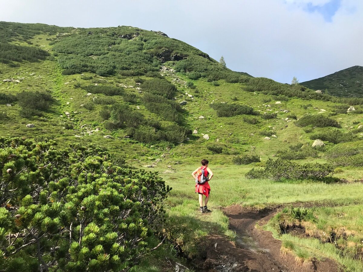
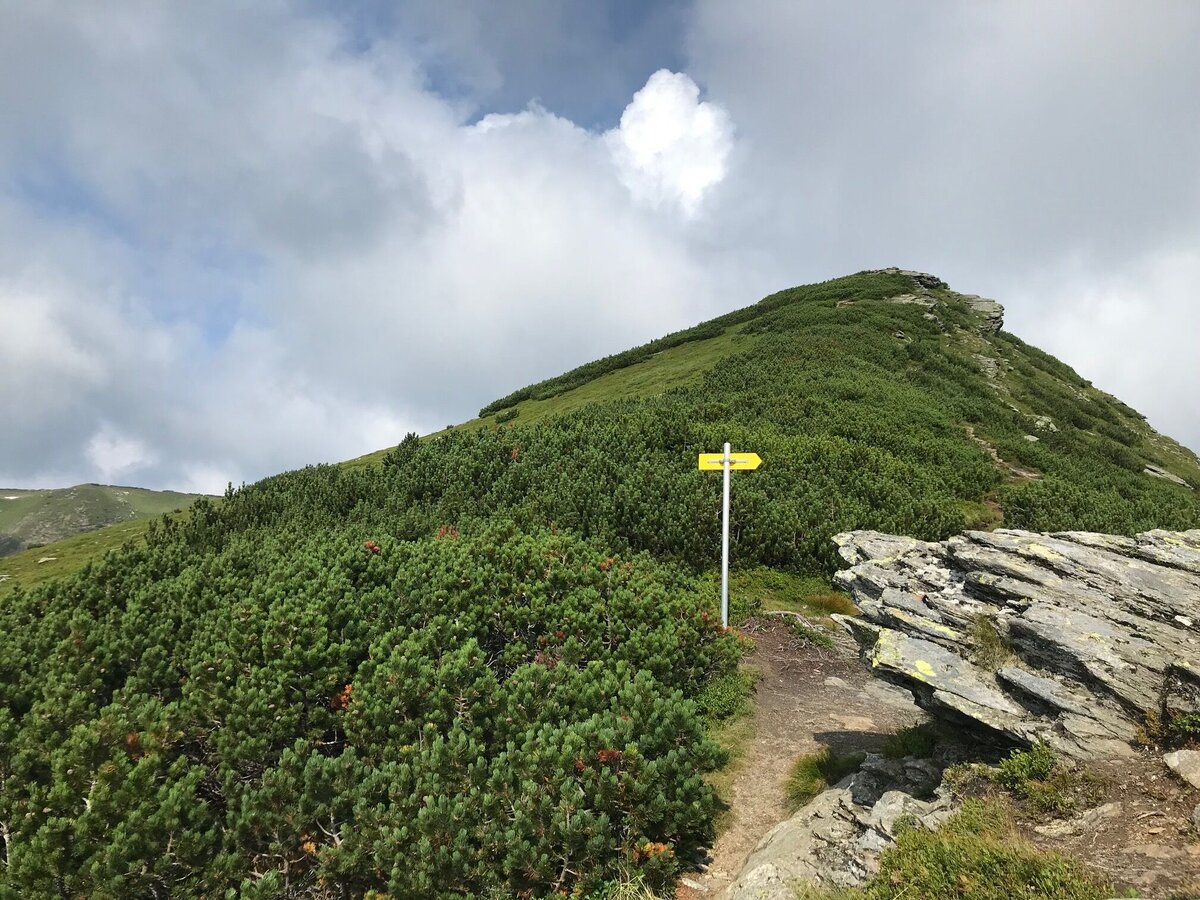
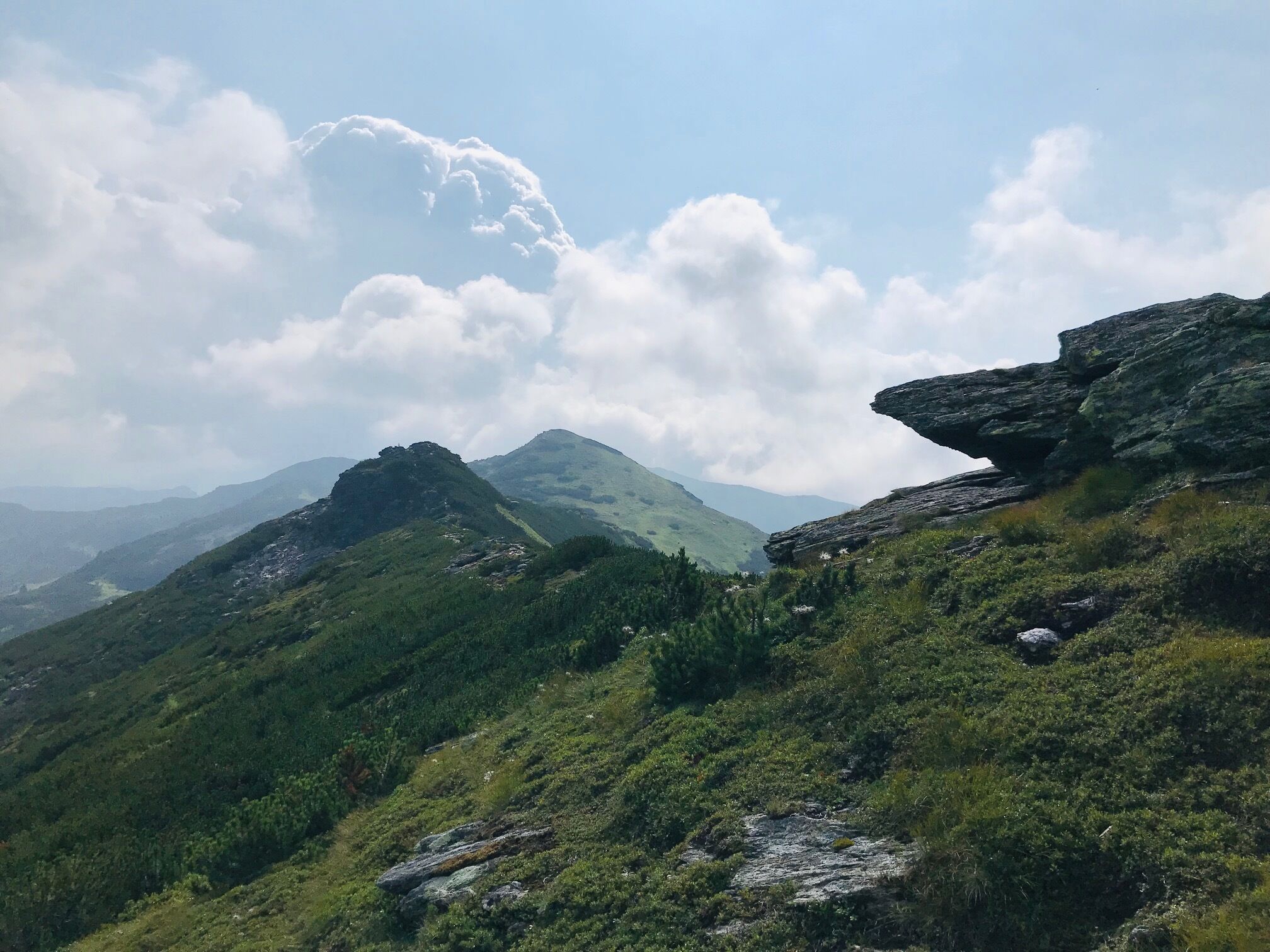
The approx. three hours, medium difficult tour leads over meadows, forest and steep paths from the parking lot at Planneralm (1600 m) up to the summit of the Karlspitz (2097 m). Along the way you will have a wonderful mountain lake view - Kothütten lake, Karl lakes, Goldbach lake and lake Michelirling. When you have reached the summit cross, you can enjoy your snack and the magnificent view of the gentle mountain world of the Wölzer Tauern with the Schoberspitz and Schreinl in the background.
The tour
Map, elevation profile & further information
From here you walk back downhill, uphill towards the Goldbachscharte, from where you turn left downhill back to the mountain village.
- Plan your tour in advance, taking into account walking time, route length, altitude difference, dangerous spots and weather forecast.
- The Alpenverein will provide you with detailed information on "safe mountain hiking". At www.alpenverein.at you can find detailed information about it.
- Together many things are more pleasurable and in the mountains safer at the same time. Don't do hikes alone, if possible, and adapt the tour to the individual fitness of your group.
- Let people know where you are going and by when you intend to be back. Also make sure to write your name in hut or summit books.
- If the weather gets worse, you should turn back in time. If you get caught in a thunderstorm, do not stay on the summit or ridge and keep away from single trees. Wait, if possible in a crouching position, to be safe during the thunderstorm.
- Stay on the clearly marked paths and remember to close pasture fences when you pass them on your way.
- The way up is only half the way. Stay attentive, especially when going downhill, to safely get back down to the valley.
- In case of an emergency, keep calm and call the mountain rescue service under 140. If you have no cell phone signal, take out your sim card and dial 112.
- If you meet cows: Walk above the herd at least 50 meters away. Stay calm, don't make hectic movements and don't run away. Do not imitate cow sounds and try not to stroke the animals. With a stick and loud calls, the animals can often be turned around in an emergency.
- If you are a dog owner: Clarify already before the hike whether you have to cross grazing areas. Keep your dog on a leash and make sure that he keeps calm. Let the dog off the leash immediately in case of a cow attack. Never pick him up to defend him.
Tourist information: www.schladming-dachstein.at
Schladming-Dachstein Tourist Office
Ramsauerstraße 756
8970 Schladming
T: +43 3687 23310
info@schladming-dachstein.at
- SCHLADMING-DACHSTEIN Hiking EAST. Available free of charge from tourist offices and accommodation providers.
- SCHLADMING-DACHSTEIN hiking map 1:50.000
- KOMPASS hiking map no. 68, Ausseerland-Ennstal
- PLANNERALM summer leisure map


