Grimming-Donnersbachtal
Plannerlakeway
Hiking trail
Data:
Tour description
EITHER, OR. Direttissima via the steeper path from the mountain rescue house or leisurely from the Grimmingblick inn over soft alpine pastures distillery and Neues Plannerkreuz. Just as you like. The goal is always THE LAKE. And that is always magical.
The tour
easy
Starting and end point
Parking Planneralm
Tour characteristics
Fitness (2/6)
Information
Distance: 2.64 km
Duration:
1 h 15 min
Ascent: 201 m
Descent: 201 m
highest point: 1789 m
Best season
Jan
Feb
Mar
Apr
May
Jun
Jul
Aug
Sep
Oct
Nov
Dec
Map, elevation profile & further information
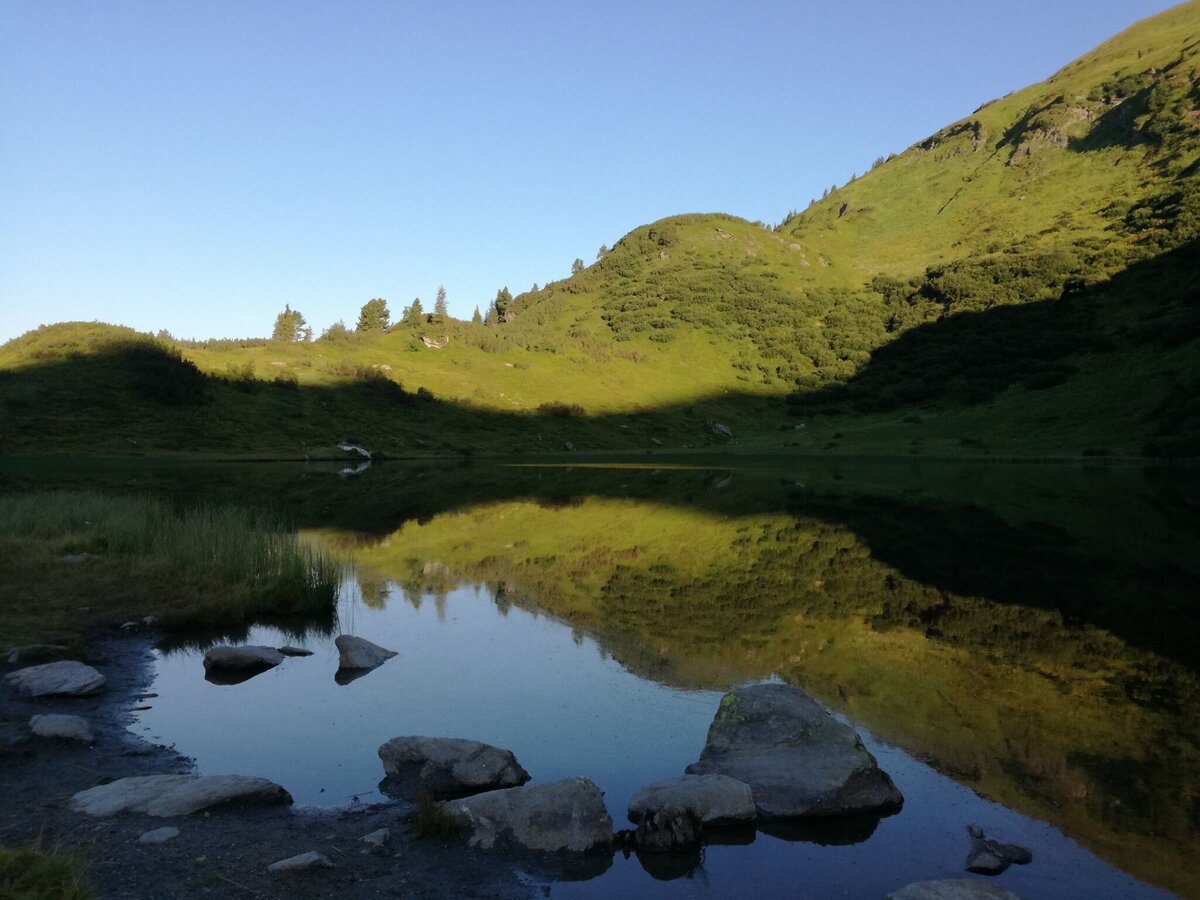
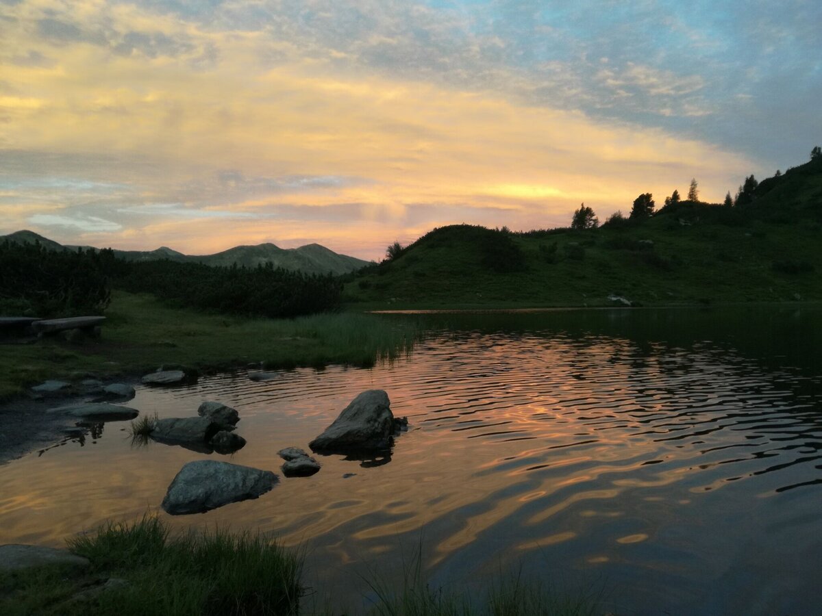
Start from the mountain rescue house on a steeper ascent, where flowers line the path and spruce and pine stand side by side. Halfway up, turn left to a pond. The detour is worthwhile. Take a deep breath and gather strength for the final spurt, because after about 10 minutes you will reach the Plannersee.
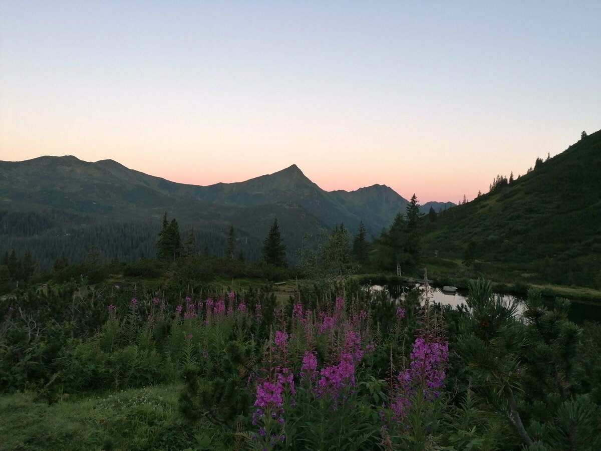
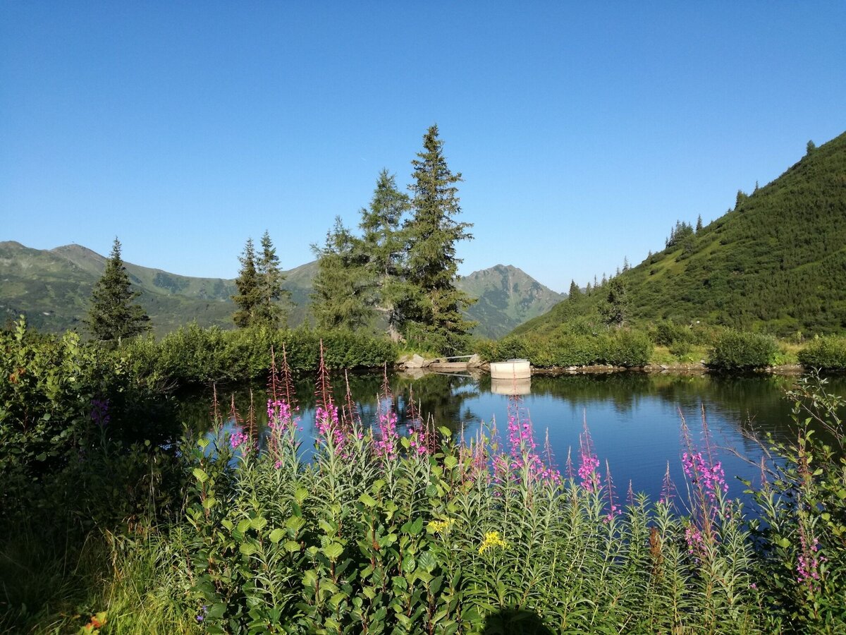
If you prefer the more leisurely route, then start at Gasthof Grimmingblick and hike along the new gravel path in the direction of Panoramasee. Shortly before you reach the lake, turn left onto a path that leads past the New Planner Cross and up to the Planner Lake. Once you have arrived at your destination, you will find enchanting places for an enjoyable rest, directly at the clear mountain lake. Linger and enjoy and then perhaps hike further up to the ridge.
From the Ennstal highway (B320) at the Trautenfels traffic circle turn off in the direction of Irdning, Donnersbach, Donnersbachwald. In the village of Donnersbach after the village center turn left towards Planneralm. 12 km long ascent via the toll-free mountain road up to the Planneralm.Free Parking Planneralm
Your weatherproof rucksack should include: Sun and rain protection, warm, windproof clothing, drinks and provisions, a small first aid kit, hiking map and a fully charged mobile phone.
Suitable footwear goes without saying.
Suitable footwear goes without saying.
- Plan your tour in advance, taking into account walking time, route length, altitude difference, danger spots and the weather forecast.
- The Alpine Association provides detailed information on “safe mountain hiking”. You can find comprehensive information at www.alpenverein.at.
- Together is much more beautiful and safer in the mountains. If possible, don't go alone and adapt the tour to the ability of your group.
- Let them know where you are going and when you want to be back. Also make a note in the hut or summit books.
- Turn back in good time if the weather deteriorates. If you get caught in a thunderstorm, do not stay on the summit or ridge and keep away from individual trees. Wait out the storm, preferably in a crouched position.
- Stay on the marked paths and remember to close pasture fences.
- The way up is only half the battle. Stay alert, especially on the descents, to get back down to the valley safely.
- Keep calm in an emergency and call the mountain rescue service on 140. If you have no reception, take out your SIM card and dial 112.
- If you come across cows: It is best to pass above the herd at a distance of at least 50 meters. Stay calm, don't make any hectic movements and don't run away. Do not imitate cow sounds and do not try to stroke the animals. A stick and loud shouts can often make the animals turn back in an emergency.
- If you are a dog owner: clarify before the hike whether you need to cross a pasture. Keep your dog on a lead and make sure that it behaves calmly. In the event of a cow attack, let your dog off the lead immediately. Never pick him up to defend him.
Also you can go to the old Plannersummit or to the Summit Plannerknot.Tourism information: www.schladming-dachstein.at
Tourist Office Schladming-Dachstein
Ramsauerstrasse 756
8970 Schladming
T: +43 3687 23310
info@schladming-dachstein.at
- PLANNERALM leisure map. Available free of charge from tourist offices and accommodation providers.
- SCHLADMING-DACHSTEIN Hiking map east. Available free of charge from tourist offices and accommodation providers.
- SCHLADMING-DACHSTEIN hiking map (1:50,000)


