Grimming-Donnersbachtal
Alpine pasture hike-Planneralm to Lärchkar
Hiking trail
Data:
Tour description
FROM ALP TO ALP. Follow the Bacherl trail to the water-rich plateau and further uphill to the Goldbachscharte. From there you hop freshly cheerful down to wonderfully unexcited hut rest.
The tour
moderate
Starting point
Parking Planneralm
Destination
Vacation village Hinterwald
Tour characteristics
Fitness (3/6)
Information
Distance: 8.86 km
Duration:
3 h 15 min
Ascent: 374 m
Descent: 888 m
highest point: 1964 m
Best season
Jan
Feb
Mar
Apr
May
Jun
Jul
Aug
Sep
Oct
Nov
Dec
Map, elevation profile & further information
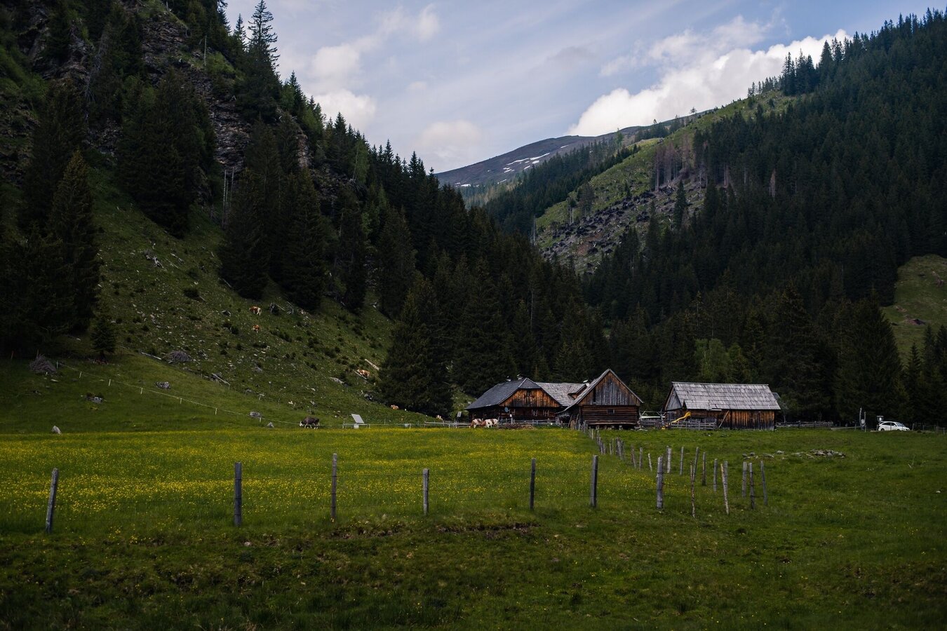
Start from the Planneralm parking lot, walk past the Grimmingblick alpine inn and continue up the trail to the Planner high plateau. Now follow the markings to the left and hike along the initially very watery path to the Goldbachscharte. A wonderful place to rest, because the view of the surrounding mountains is magnificent. From now on it's downhill, via the trail on the left down to the Stallaalm. From there, take the forest road to the Lärchkaralm. The alpine delicacies here are a poem. Enjoy them before you walk along the hiking trail along the brook to Hinterwald. From there you need a ride (organize yourself) back to the Planneralm.
From the Ennstalbundesstraße (B320) at the Trautenfels traffic circle turn off in the direction of Irdning, Donnersbach, Donnersbachwald. In the village of Donnersbach after the village center turn left towards Planneralm. 12 km long ascent via the toll-free mountain road up to the Planneralm.Free Parking at Planneralm
- Plan your tour in advance, taking into account walking time, route length, altitude difference, danger spots and weather forecast.Together is much more beautiful and at the same time safer in the mountains.
- Do not go alone, if possible, and adapt the tour to the ability of your group.
- Let them know where you are going and when you want to be back. Also sign hut or summit books.
- Turn back in good time if the weather deteriorates. If you get caught in a thunderstorm, do not stay on the summit or ridge and stay away from individual trees. Wait out the storm, if possible in a crouching position.
- Stay on the marked trails and remember to close pasture fences again.
- Getting up the trail is only half the battle. Stay alert, especially on the descents, to make it back to the valley safely.In case of emergency, keep calm and call the mountain rescue on 140. If you have no reception, take out the sim card and dial 112.
- If you encounter cows: It is best to pass above the herd with at least 50 meters distance. Stay calm, don't make any frantic movements and don't run away. Do not imitate cow sounds and do not try to pet the animals. A stick and loud shouting can often make the animals turn back in an emergency.
- If you are a dog owner: Clarify before the hike if you have to cross a pasture. Keep your dog on a leash and make sure he stays calm. If a cow attacks, let the dog off the leash immediately. Never pick him up to defend him.
- You can get detailed information on "Safe Mountain Hiking" from the Alpine Club. At www.alpenverein.at you can inform yourself comprehensively about it.
The Goldbachsee looks tempting, but you should leave it to the right and only look at it from a distance. From the Goldbachscharte absolutely take the marked trail in the direction of Stallalm.Tourism information: www.schladming-dachstein.at
Tourist Office Schladming-Dachstein
Ramsauerstrasse 756
8970 Schladming
T: +43 3687 23310
info@schladming-dachstein.at
- SCHLADMING-DACHSTEIN Wandern EAST. Available free of charge at tourist offices and lodging establishments.
- SCHLADMING-DACHSTEIN Hiking Map (1:50.000)


