Krautwasch 2.283 m - Skitour
Tour description
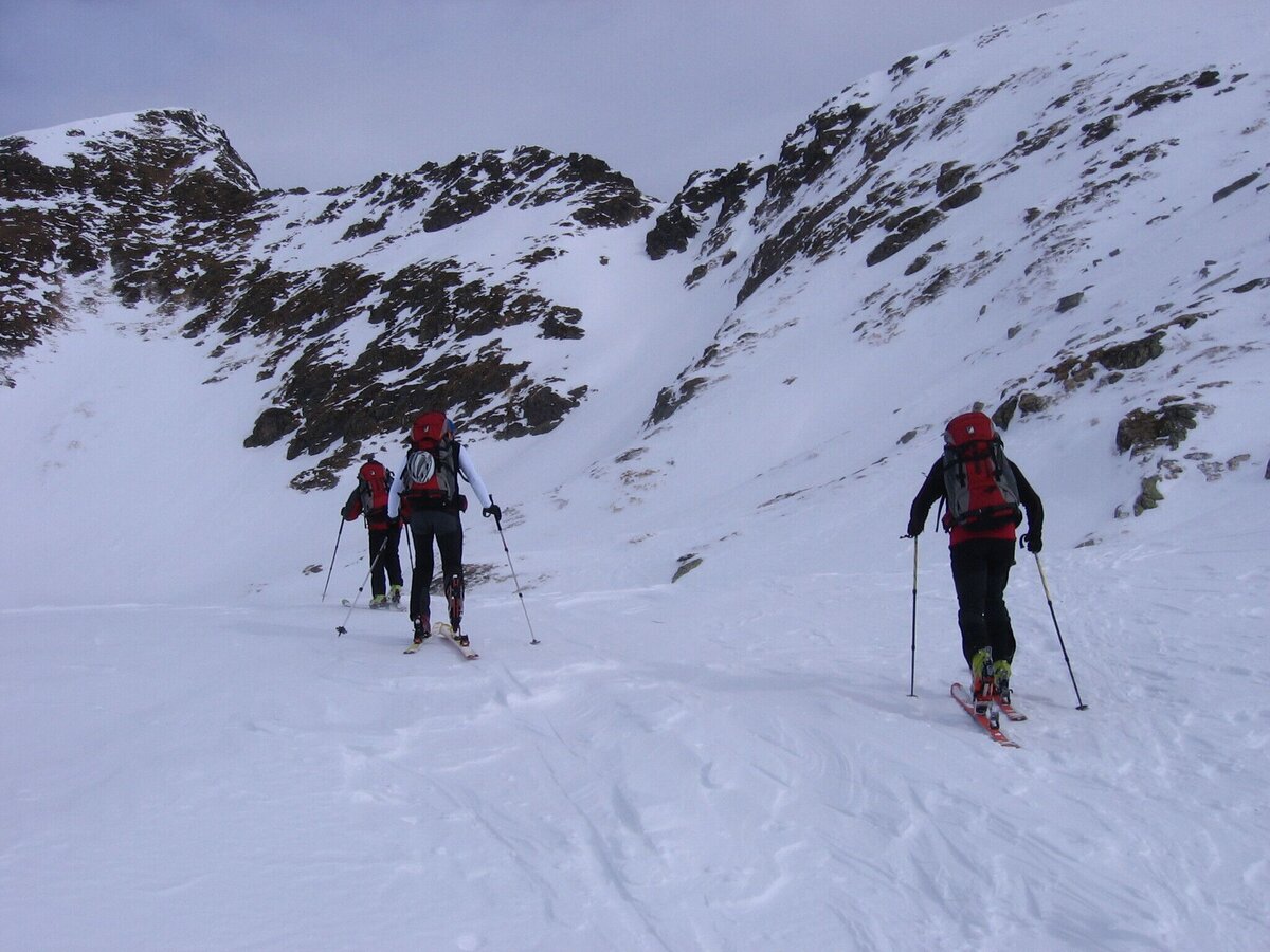
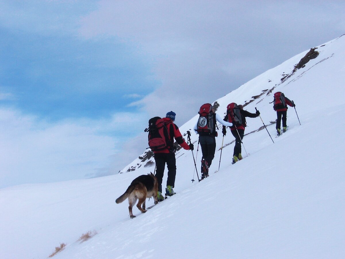
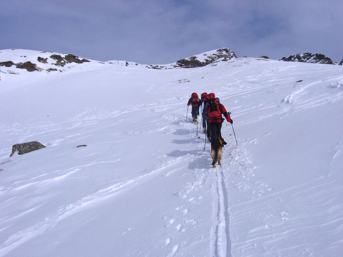
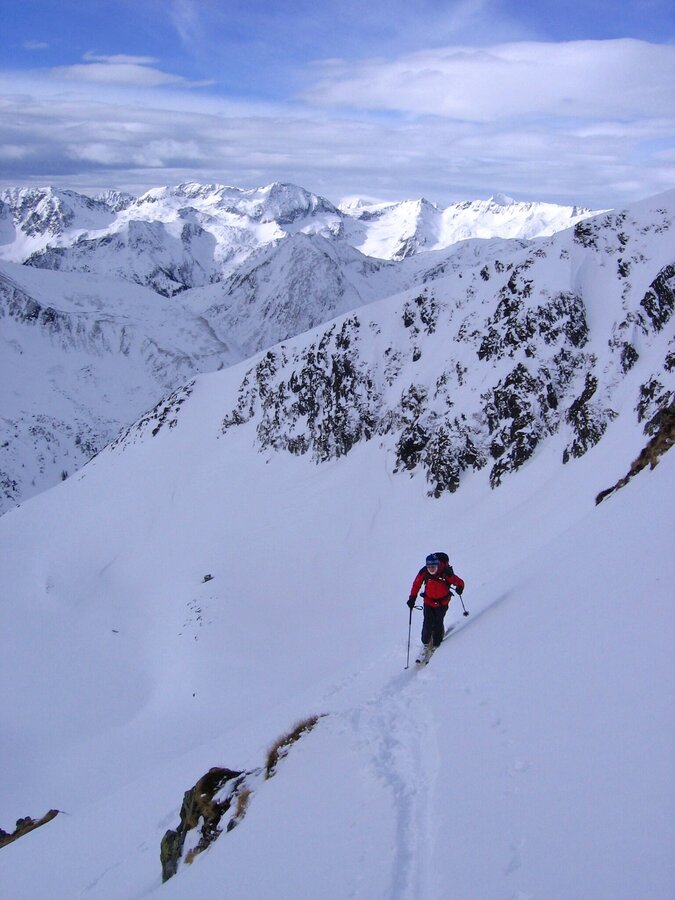
Ascent: Follow the course of the road until the Erzherzog-Johann-Hütte. Underneath the hut, along the way, cross the bridge. Afterwards follow the course of the stream on the eastern side. At the crossing of the forest road follow the check mark towards Haseneckscharte – Hochstubofen. After the stream has been crossed, go on eastwards. In front of the Seekar lake further south-eastwards to the summit.
The way downwards is the same as upwards.
The tour
Map, elevation profile & further information
Ascent: Along the road to the Erzherzog-Johann-Hütte. Below the hut along the path over the bridge. Then follow the brook on the eastern side. Cross the forest road and follow the summer markings in the direction of Haseneckscharte - Hochstubhofen. After crossing the stream, continue eastwards. Before the Seekar lake further southeast to the summit.
Descent: same as ascent
Arrival at Stein/Enns railway station with OEBB.
Mayer taxi company Phone: +43 676 60 28 107 or +43 676 54 09 858
Mountain sports and the assessment of the situation on site is your own responsibility. Tourism associations or avalanche warning services accept no liability based on the information provided.
- Check the weather and avalanche situation the evening before every ski tour at www.lawine-steiermark.at, avalanche cell phone: +43 664 8105928
- Don't go on a ski tour alone. It's more fun together anyway!
- Always behave in a risk-conscious manner and react to danger signs!
- Observe existing regulations, e.g. hunting and game reserves, reforestation or young growth areas.
- You should always have a fully charged cell phone with you. Have you also saved the emergency numbers? Mountain rescue: 140. If you have no reception, take out the SIM card and dial 112.
- Avalanche transceiver, probe and shovel are essential in open terrain.
- Ski touring equipment consisting of skis/splitboard, skins, poles and possibly crampons.
- Food, warm drinks, spare clothing and a first aid kit.
- Choose your clothing according to the onion layer principle.
- Maps and/or tour descriptions. GPX tracks on your cell phone or GPS device will also help you.
Mountain guide from the region: www.schladming-dachstein.at/bergführer
More information is available at the tourist office Schladming Dachstein - Info point Nature Park Sölktäler:
phone: +43 3687 23310 501
info@schladming-dachstein.at
Stein an der Enns 107
8961 Sölk
Schladming-Dachstein Ski-Tours available at all information offices in the region.


