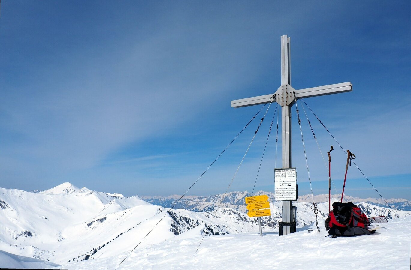
Großes Bäreneck 2.037 m
Tour description
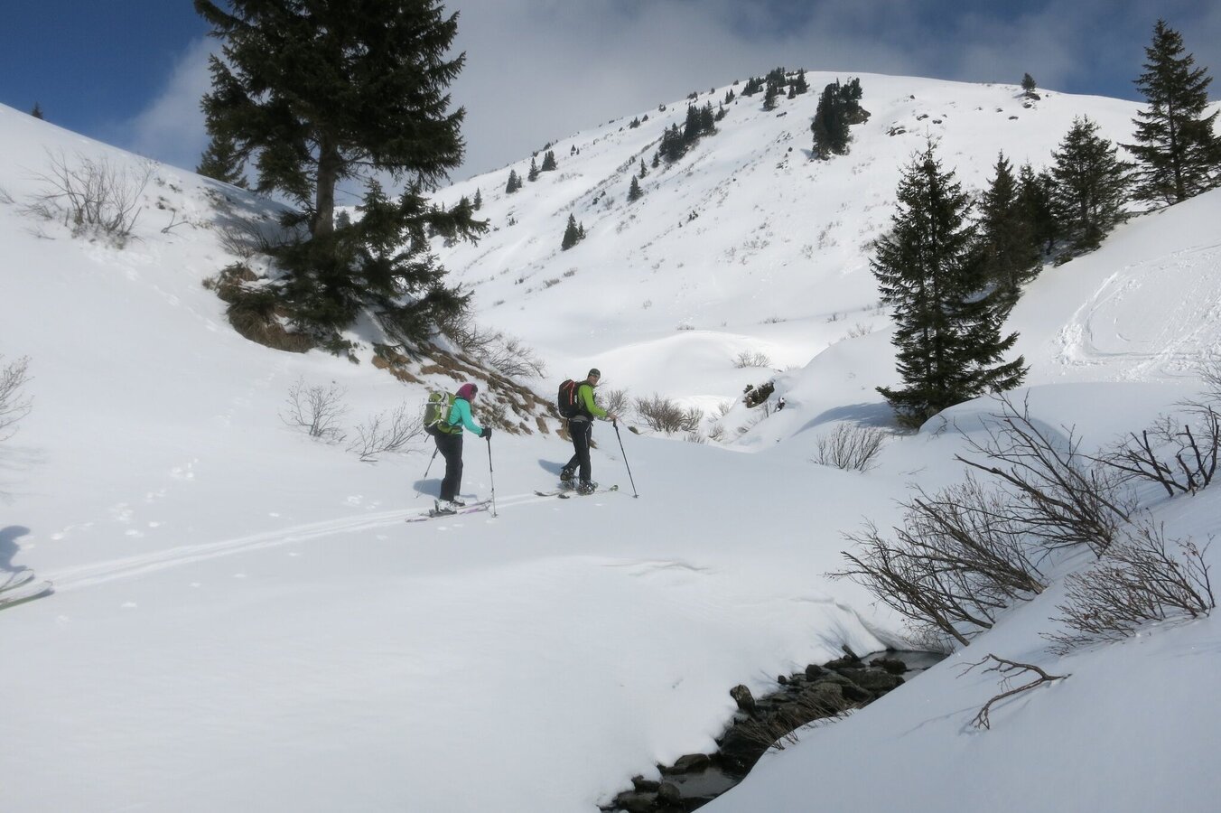
The ascent begins into the valley along the Seifriedingbach. At 1,100 m above sea level you cross a bridge and continue to follow the summer markings in a north-easterly direction to reach the Mößnakar. Arriving at the Gstemmerscharte, the ascent trail leads south-east over the ridge to the summit of the Großer Bärneck. Please note the wildlife sanctuary zones.
The tour
Map, elevation profile & further information
Ascent: Along the Seifrieding stream, at 1,096 m over a bridge along the summer markings, continue north-east towards the Mössnakar. Then climb southeast towards the ridge and follow it to the Großen Bäreneck.
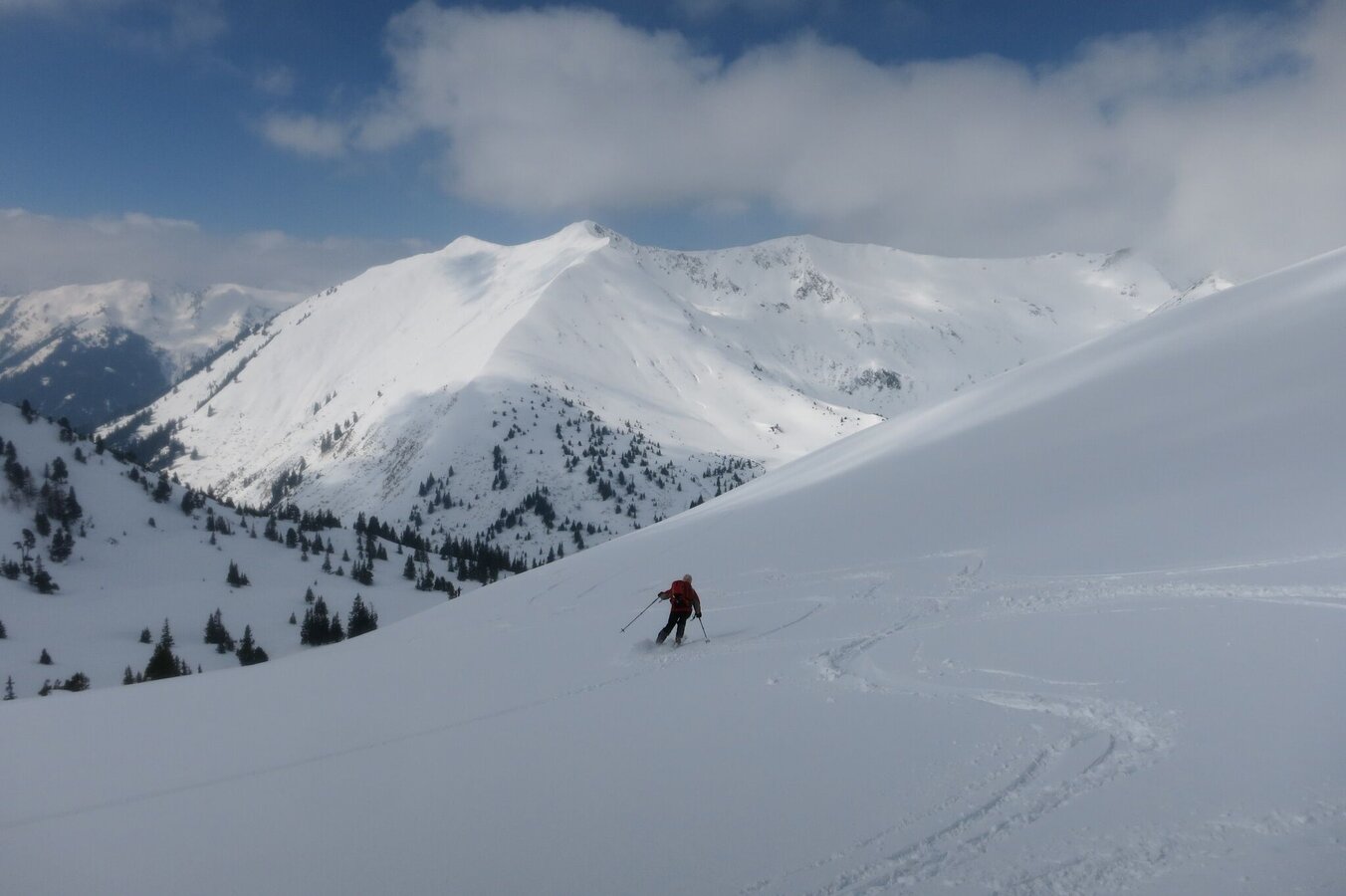
Descent: Same as ascent
From the A9: turn off at Selzthal (exit 69) towards Liezen/Radstadt. From Liezen follow the B320 to Espang. There turn towards Niederöblarn/Naturpark Söltäler.
To the route: In the center of Stein an der Enns, turn towards St. Nikolai and follow the road to Mößna. There to the fire station.Parking at the fire station in Mößna.
Mountain sports and the assessment of the situation on site is your own responsibility. Tourism organisations or avalanche warning services do not accept any liability based on the information provided.
- Check the weather and avalanche situation the evening before every ski tour at www.lawine-steiermark.at, avalanche mobile phone: +43 664 8105928
- Don't go on a ski tour alone. It's more fun together anyway!
- Always behave in a risk-aware manner and react to danger signs!
- Observe existing regulations, e.g. hunting and wildlife protection areas, reforestation or young growth areas.
- You should always have a fully charged mobile phone with you. Have you also saved the emergency numbers? Mountain rescue: 140. If you have no signal, take out the SIM card and dial 112.
- Avalanche beacon, probe and shovel are essential in open terrain.
- Ski touring equipment consisting of skis/splitboard, skins, poles and possibly crampons.
- Food, warm drinks, spare clothing and a first aid kit.
- Choose your clothing according to the onion layer principle.
- Maps and/or tour descriptions. GPX tracks on your mobile phone or GPS device are also helpful.
Mountain guides from the region: www.schladming-dachstein.at/mountainguides
For more information, please contact the Schladming Dachstein Tourist Office - Sölktäler Nature Park Information Center:
Phone: +43 3687 23310 501
info@schladming-dachstein.at
Stein an der Enns 107
8961 Sölk
Schladming-Dachstein Ski-Tours available at all information offices in the region.


