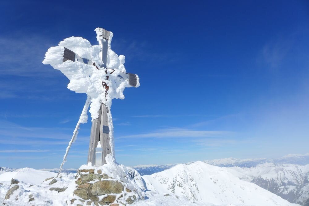
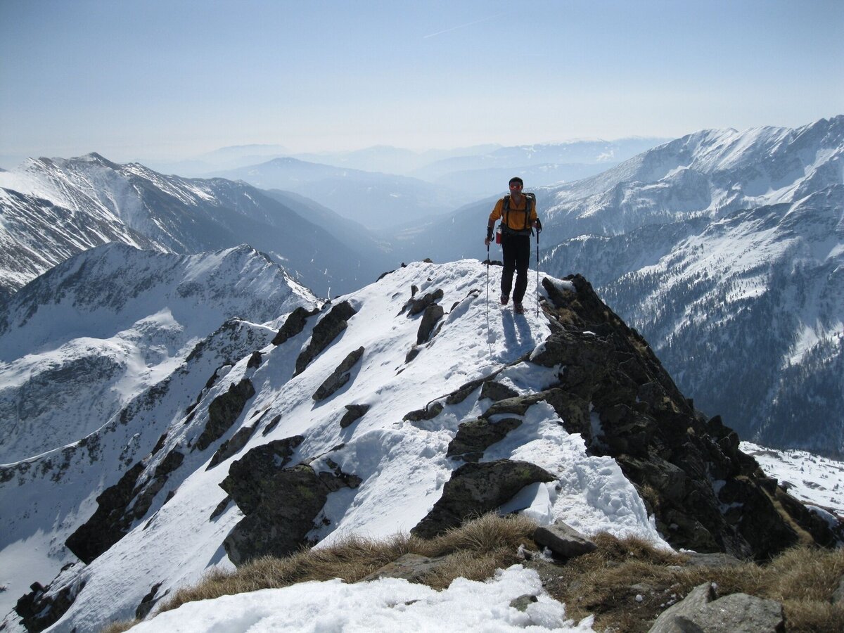
Deneck 2.433 m
Tour description
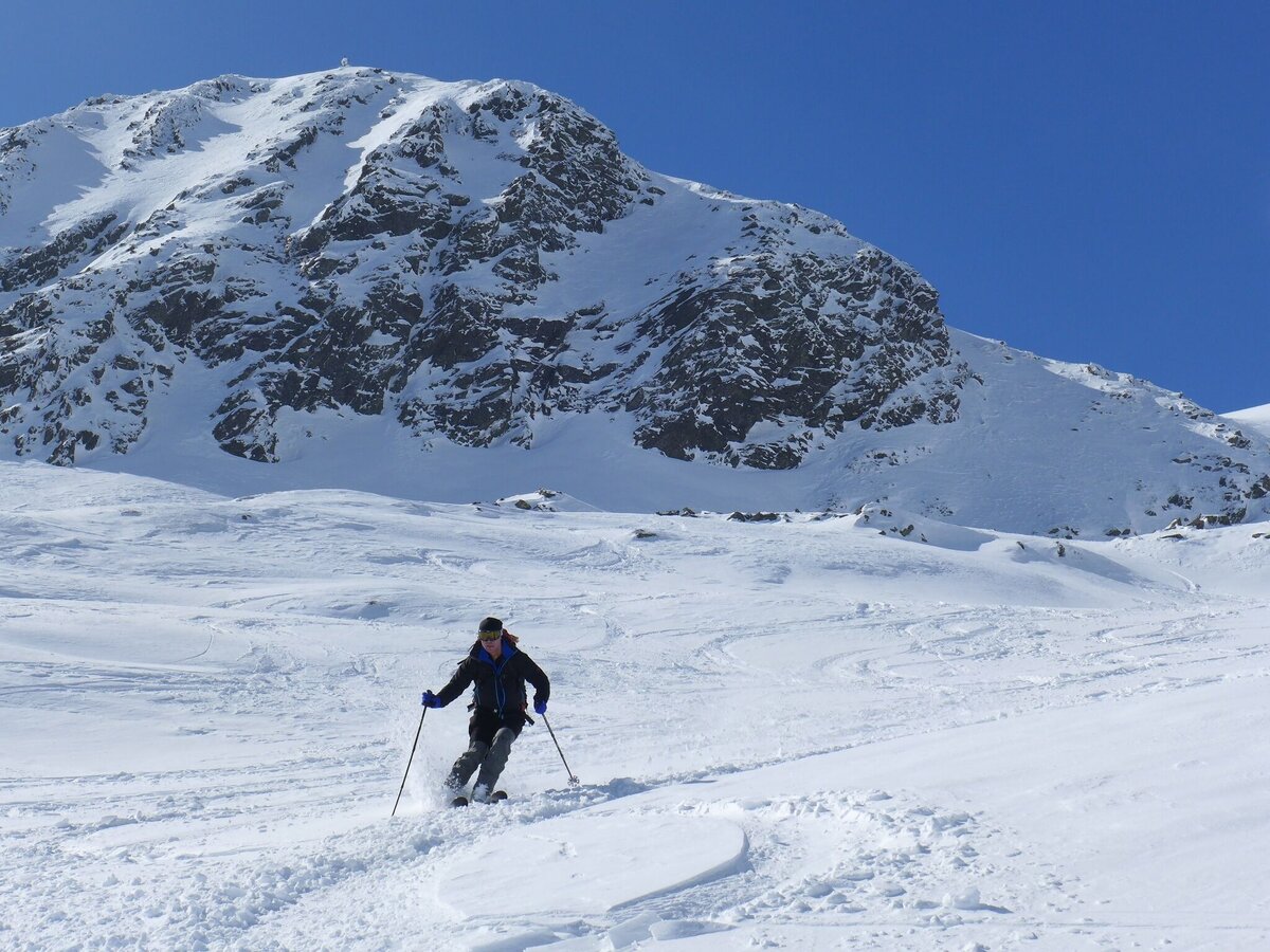
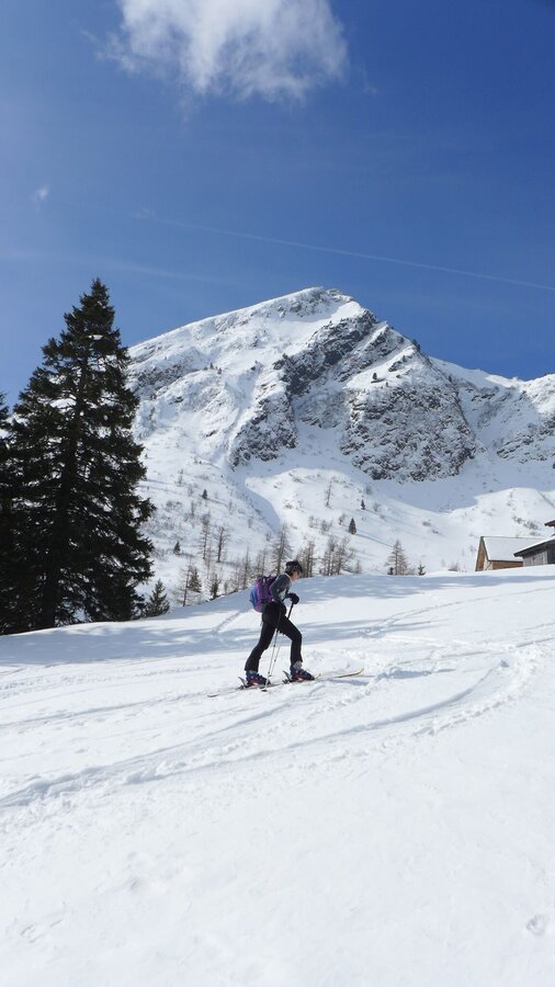
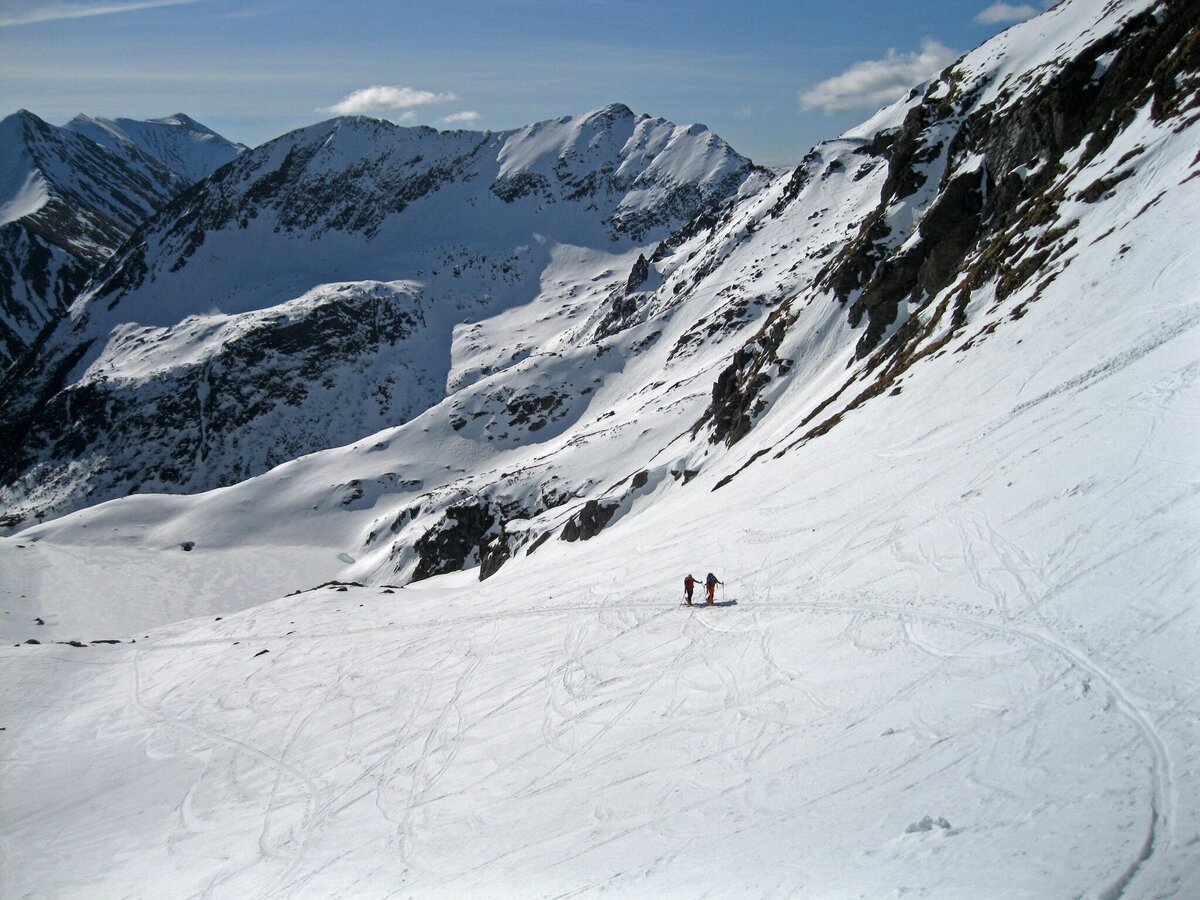
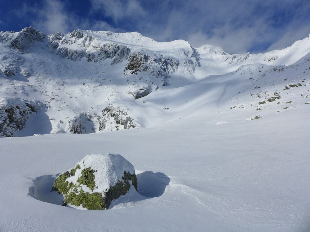
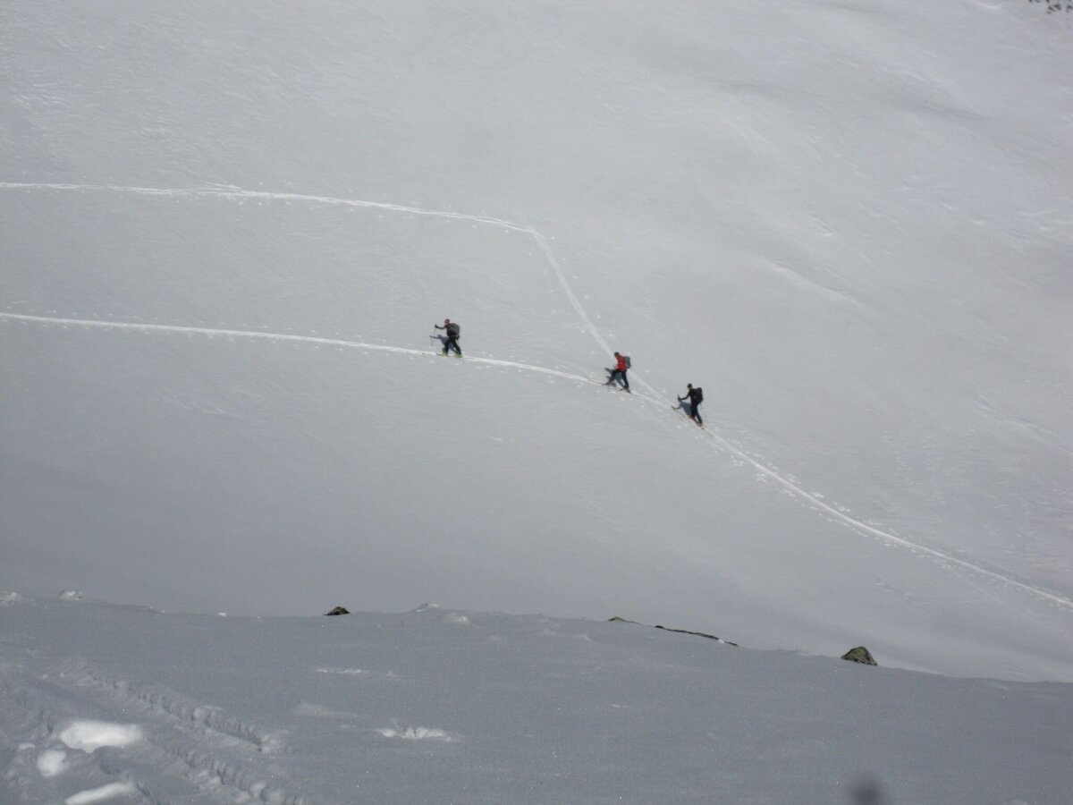
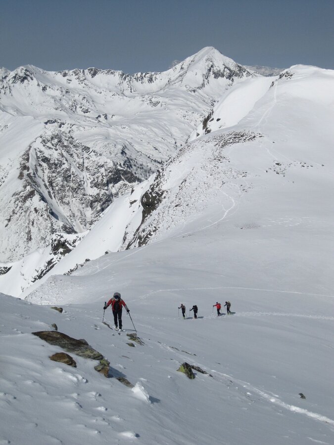
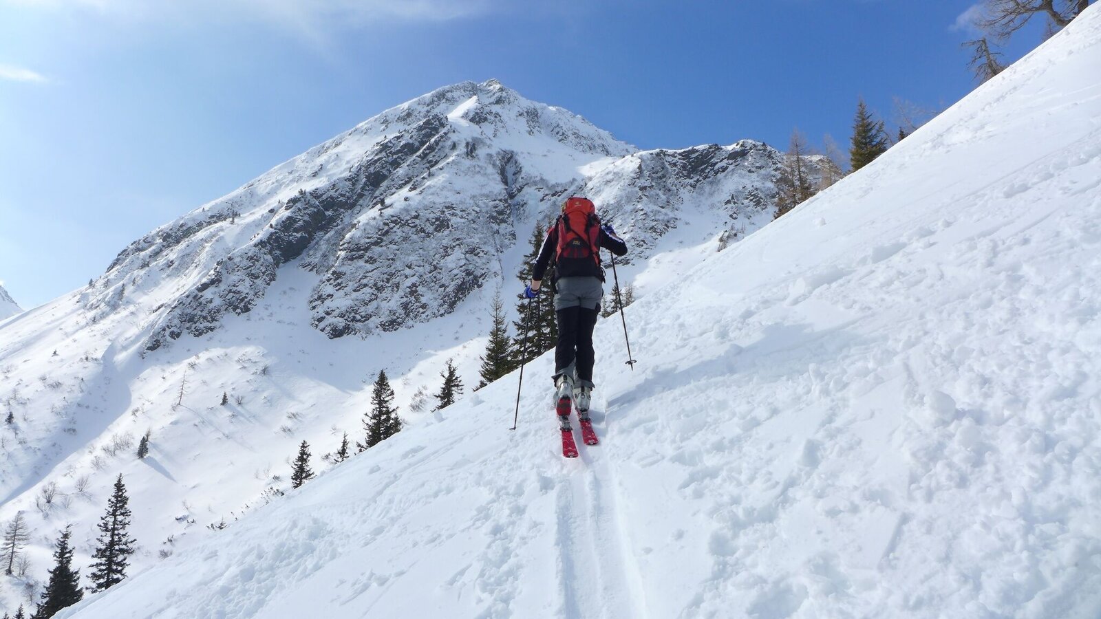
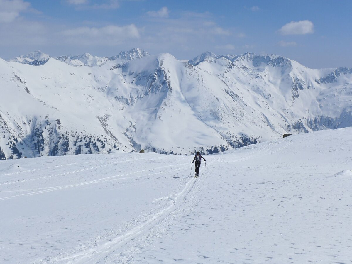
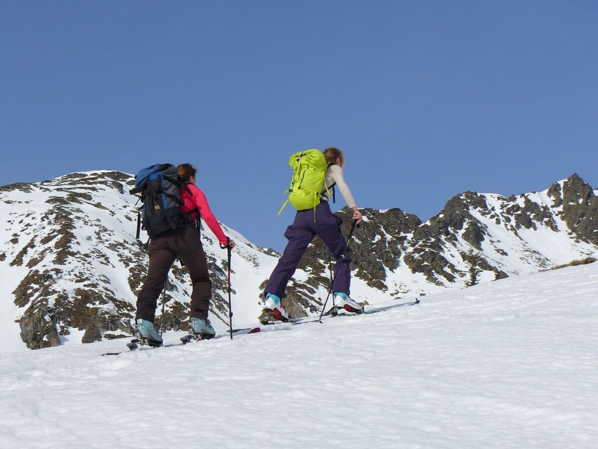
Ascent: Along the street towards the mountain rescue hut. After this hut you walk on the right side through a high forest in the direction of the Kaltenbachalm. Along the summer check marks to the Mittlere Kaltenbachsee.From here on there are two possible variants. The first one is the easier one: you walk southwest-wards and pass the Obere Kaltenbachsee on the left side and across the Ertrachboden to the Deneck.The second variant would be: you walk northwest-wards towards Sonnkar to the Deneck.
The tour
Map, elevation profile & further information
Ascent: Along the Sölkpass road in the direction of the mountain rescue hut, after this right through the sparse high forest in the direction of the Kaltenbachalm. Along the summer markings to the Mittlerer Kaltenbachsee. Continue in a northwesterly direction over the saddle to Sonnkar. In a wide curve through the Sonnkar to the summit.
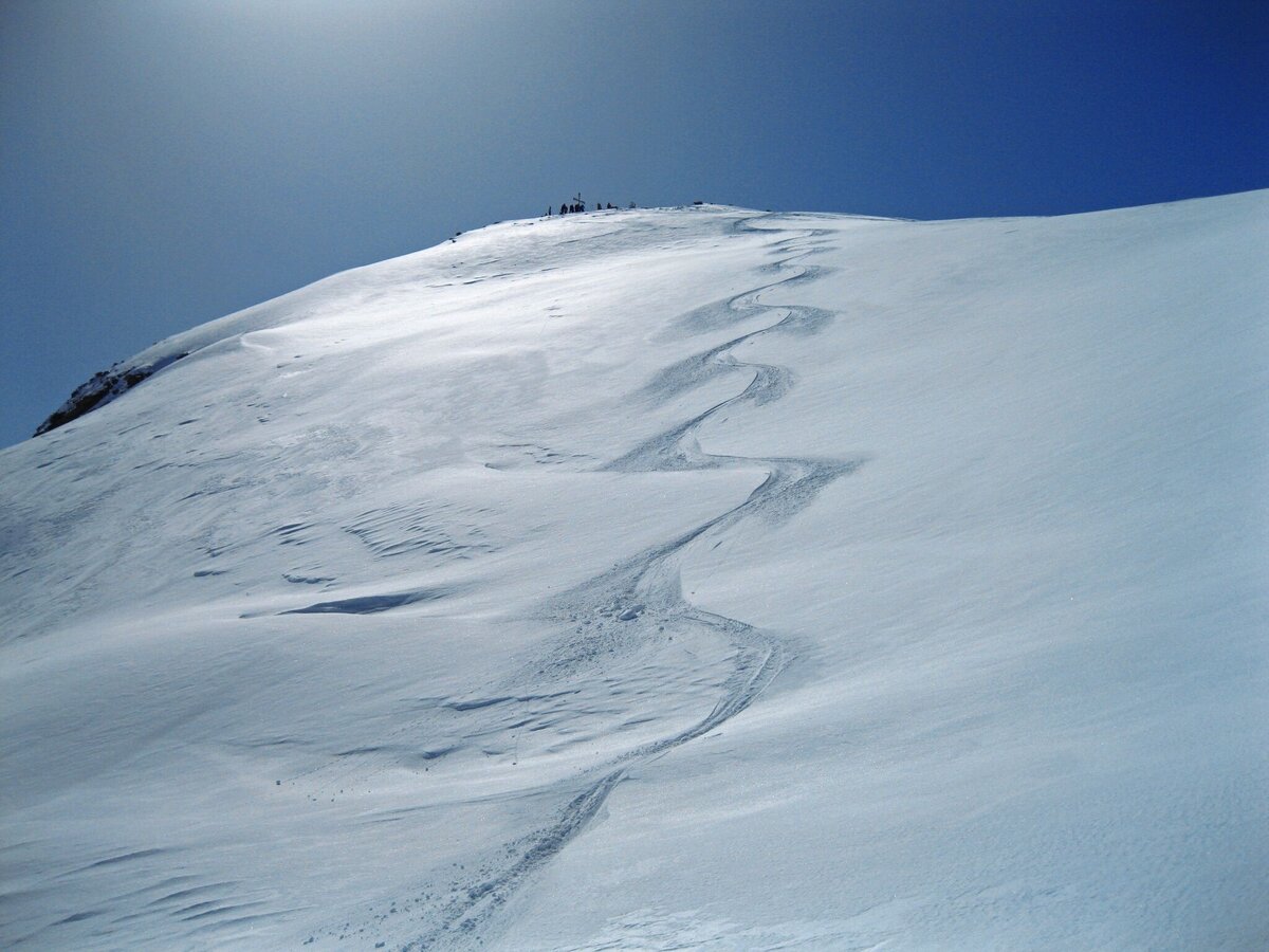
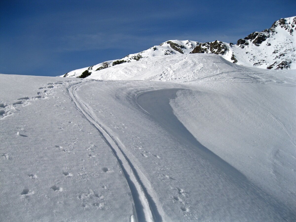
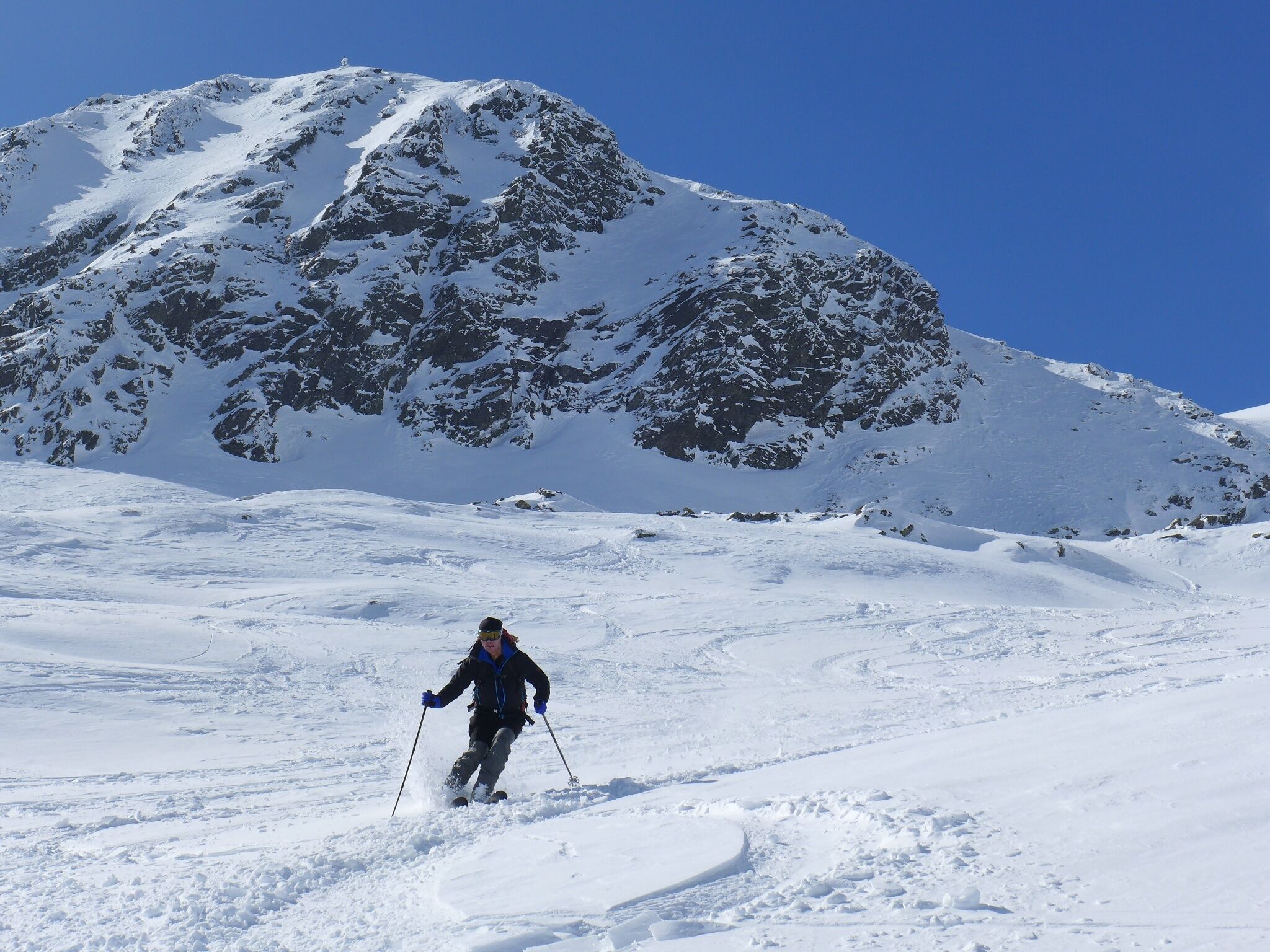
For the descent there are 2 variants:
Option 1: Same as ascent
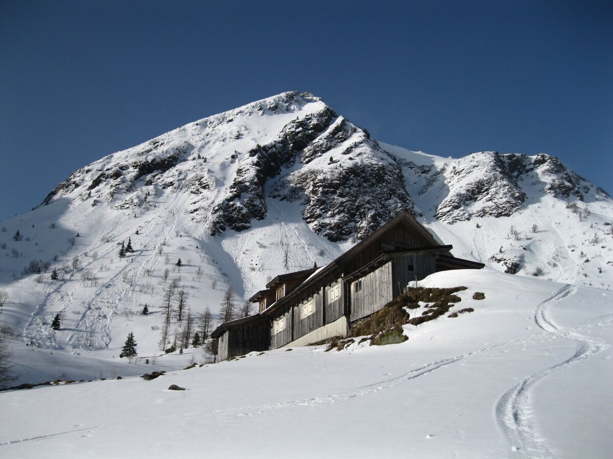
Option 2: Over the Sonnkar towards Sonnkarhütte. From here in the area of the summer path in the fall line to the road.
From Pruggern towards Großsölk, from there to St.Nikolai
Parking Lot St.Nikolai im Sölktal
Train Station Stein/Enns from there with
Taxi Mayer: +43 676 60 28 107 oder +43 676 54 09 858
Mountain sports and the assessment of the situation on site is your own responsibility. Tourism associations or avalanche warning services accept no liability based on the information provided.
- Check the weather and avalanche situation the evening before every ski tour at www.lawine-steiermark.at, avalanche cell phone: +43 664 8105928
- Don't go on a ski tour alone. It's more fun together anyway!
- Always behave in a risk-conscious manner and react to danger signs!
- Observe existing regulations, e.g. hunting and game reserves, reforestation or young growth areas.
- You should always have a fully charged cell phone with you. Have you also saved the emergency numbers? Mountain rescue: 140. If you have no reception, take out the SIM card and dial 112.
- Avalanche transceiver, probe and shovel are essential in open terrain.
- Ski touring equipment consisting of skis/splitboard, skins, poles and possibly crampons.
- Food, warm drinks, spare clothing and a first aid kit.
- Choose your clothing according to the onion layer principle.
- Maps and/or tour descriptions. GPX tracks on your cell phone or GPS device will also help you.
Mountain guide from the region: www.schladming-dachstein.at/bergführer
More information is available at the tourist office Schladming Dachstein - Info point Nature Park Sölktäler:
Phone: +43 3687 23310 501
info@schladming-dachstein.at
Stein an der Enns 107
8961 Sölk
Schladming-Dachstein Ski-Tours available at all information offices in the region.


