Via the Bräualm to the Hohensee lake
Tour description
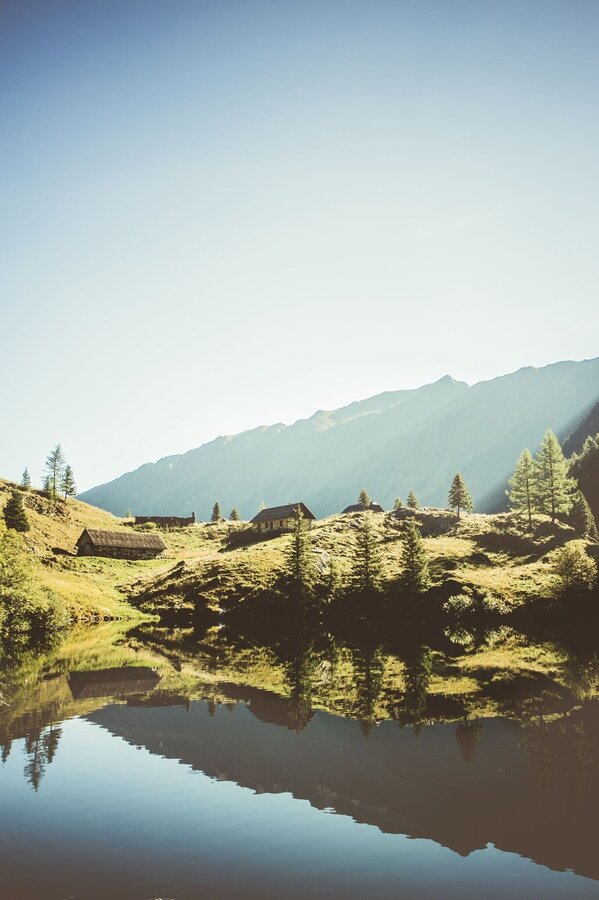
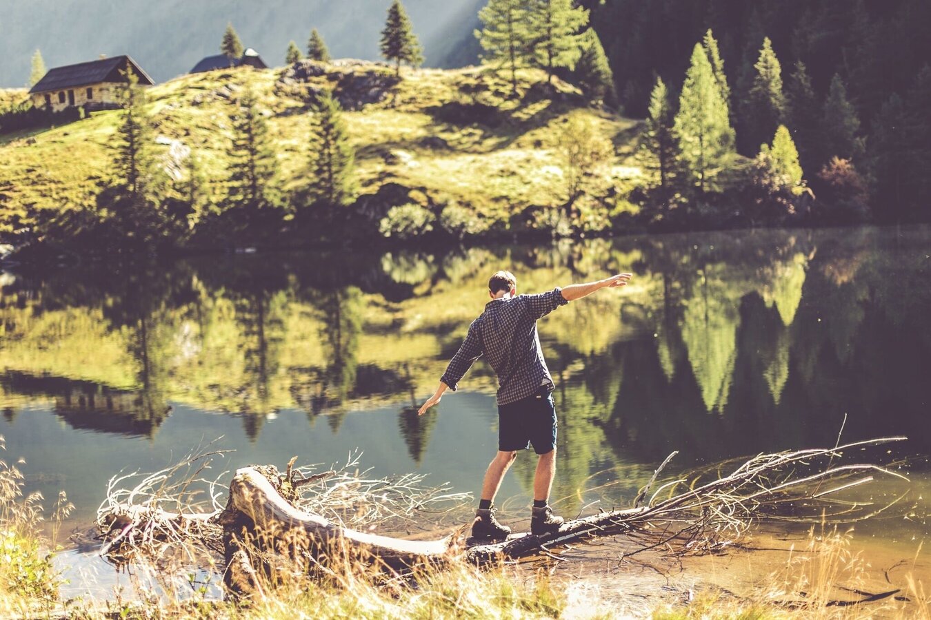
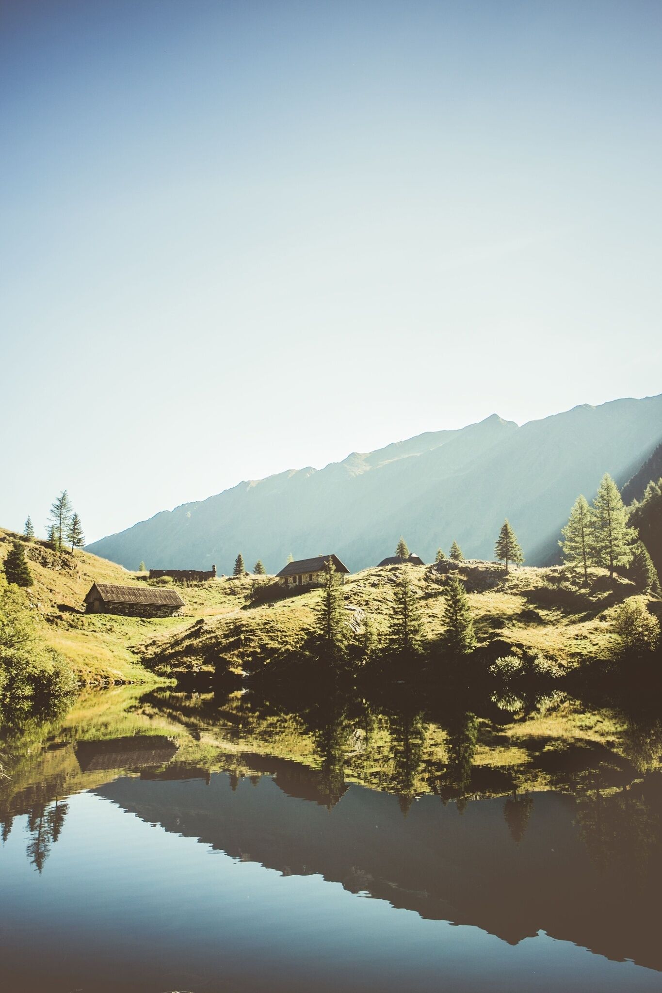
From St. Nikolai in the Großsölktal you hike along the Bräualmbach, past the Dürrmoos waterfall to the Hohensee. There, in addition to several dilapidated huts, there are two alpine pastures built of marble stones, which are, however, not managed. The lake itself is surrounded by high mountains and offers the perfect resting place for you.
The tour
Map, elevation profile & further information
Past the Gasthof Gamsjäger with the small department store and the church you go to the last houses in the town. At the barrier, follow the forest road to the left towards Bräualm - path marker #702. After about a kilometer you reach the pasture area of the Bräualm, where the Bräualmbach meanders through the valley. The buildings of the Bräualm appear on the other side of the bank. The path leads you further into the valley to the crossing of the Bräualmbach at the Kreuzsteg. Here you can enjoy nature and the view of the Dürrmoos waterfall on a bench.
The climb to Hohensee begins from the waterfall via the hiking trail. On the ascent you cross the forest road twice before staying on it the third time and continuing over three bends to its end. Here you now follow a slightly wider hiking trail to the Hohenseealm. At the lake you will finally find a nice place to rest. Return on the same route.
Anreise
Bahnhof Stein/Enns mit ÖBB.
Taxi Stefan Mayer: +43 676 54 09 858
Tälerbus von 5. Juli bis 7. September 2025 - dieser macht Überquerungen im Naturpark Sölktäler möglich. Genauso kann man bequem mit dem Zug anreisen und der Tälerbus bringt dich zu deinem Ausgangspunkt deiner Wanderung. Hier geht´s zum Fahrplan.
In the area of the Schwarzensee you can meet free-roaming grazing cattle. Caution is required, especially with dogs.
Weather changes, rapid drop in temperature, thunderstorms, wind, fog and snow fields are objective dangers and require the right behavior on the way. Hut keepers are experienced mountain connoisseurs, they can give good tips on the weather and the course of the trail. Lack of equipment, overestimation of one's own abilities, carelessness, poor physical condition and a wrong assessment can lead to critical situations. During thunderstorms: avoid peaks, ridges and rope belays at all costs.
GPS data and orientation aids: Available GPS data - as well as hiking maps - are only an orientation aid, since they can never represent an exact image or the richness of detail of a path in reality. Especially in the case of danger spots, it must therefore always be decided in the end on the basis of the conditions on site whether and how the further course of the path looks like.
In case of emergency, please dial the following
emergency numbers:
No. 140 - for alpine emergencies - Austria-wide
No. 112 - Euro emergency call GSM emergency call service
Take rainproof and warm clothes and enough water, possibly also a snack, wear shoes with non-slip profile soles. A first aid kit should also be in your backpack.
SummitLynx- Your digital summit and hut book - available worldwide and always with you!
Mountain guides from the region: www.schladming-dachstein.at/mountainguides
For more information, please contact the Schladming Dachstein Tourist Office - Sölktäler Nature Park Information Center:
Phone: +43 3687 23310 501
mailto:info@schladming-dachstein.at
Stein an der Enns 107
8961 Sölk
The brochure “Schladming-Dachstein Hiking” is available in all information offices in the region.


