Gröbminger Land
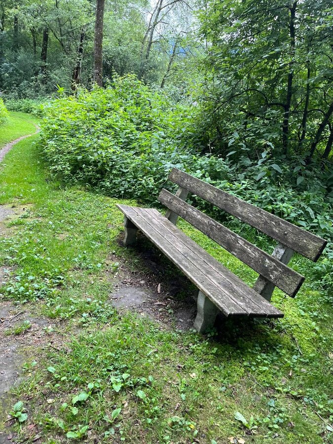
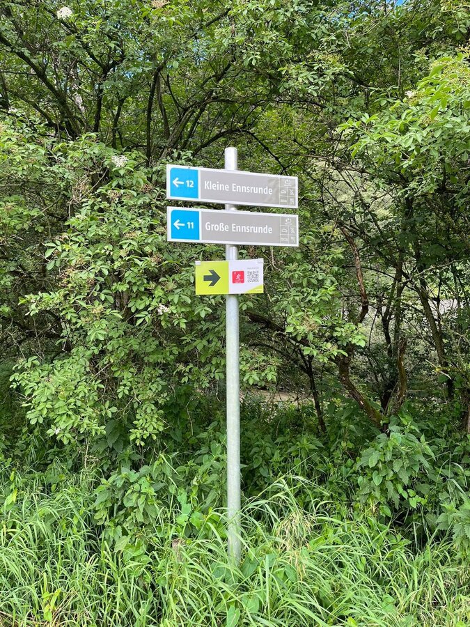
Small Enns round
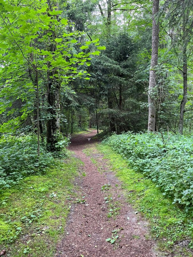
Hiking trail
Data:
Tour description
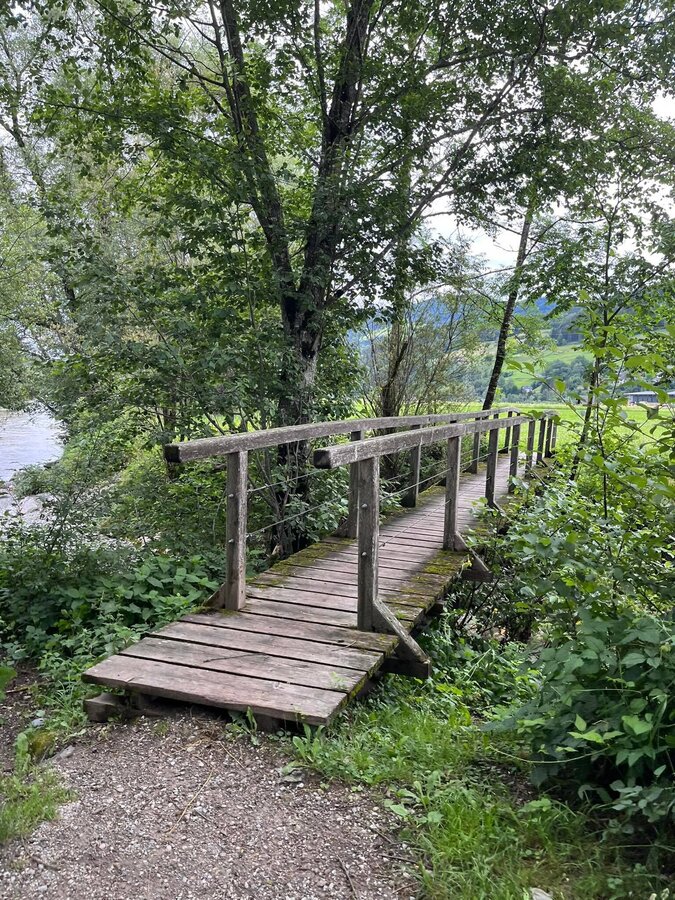
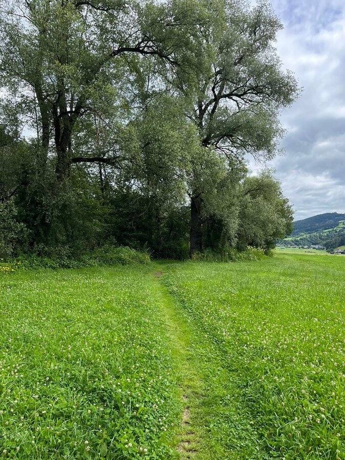
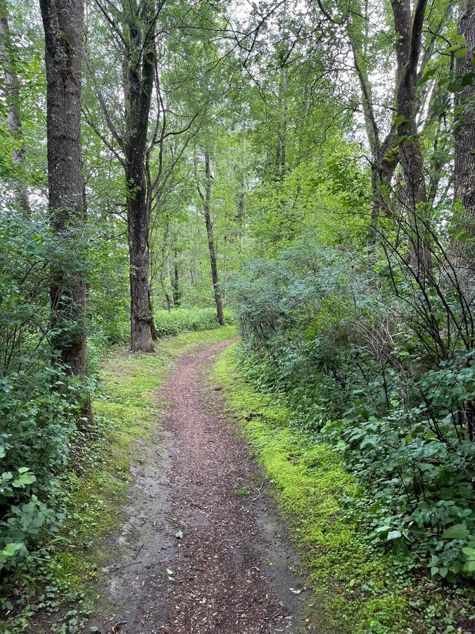
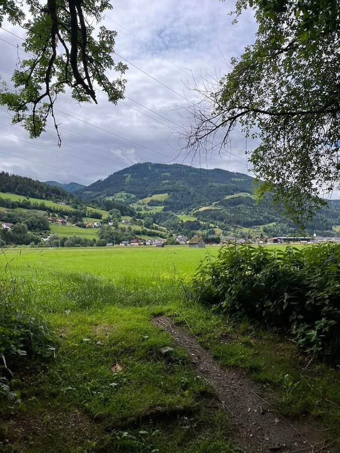
East estate to the railway underpass, turn right and along the railway to the second railway underpass, turn left to the Enns and west along the Ennsuferweg - upstream to the footbridge over the Walchenbach to Gardening Thiel to Öblarn.
The tour
easy
Starting point
East estate Öblarn
Destination
Öblarn
Tour characteristics
Information
Distance: 3.2 km
Duration:
45 min
Ascent: 10 m
Descent: 10 m
highest point: 669 m


