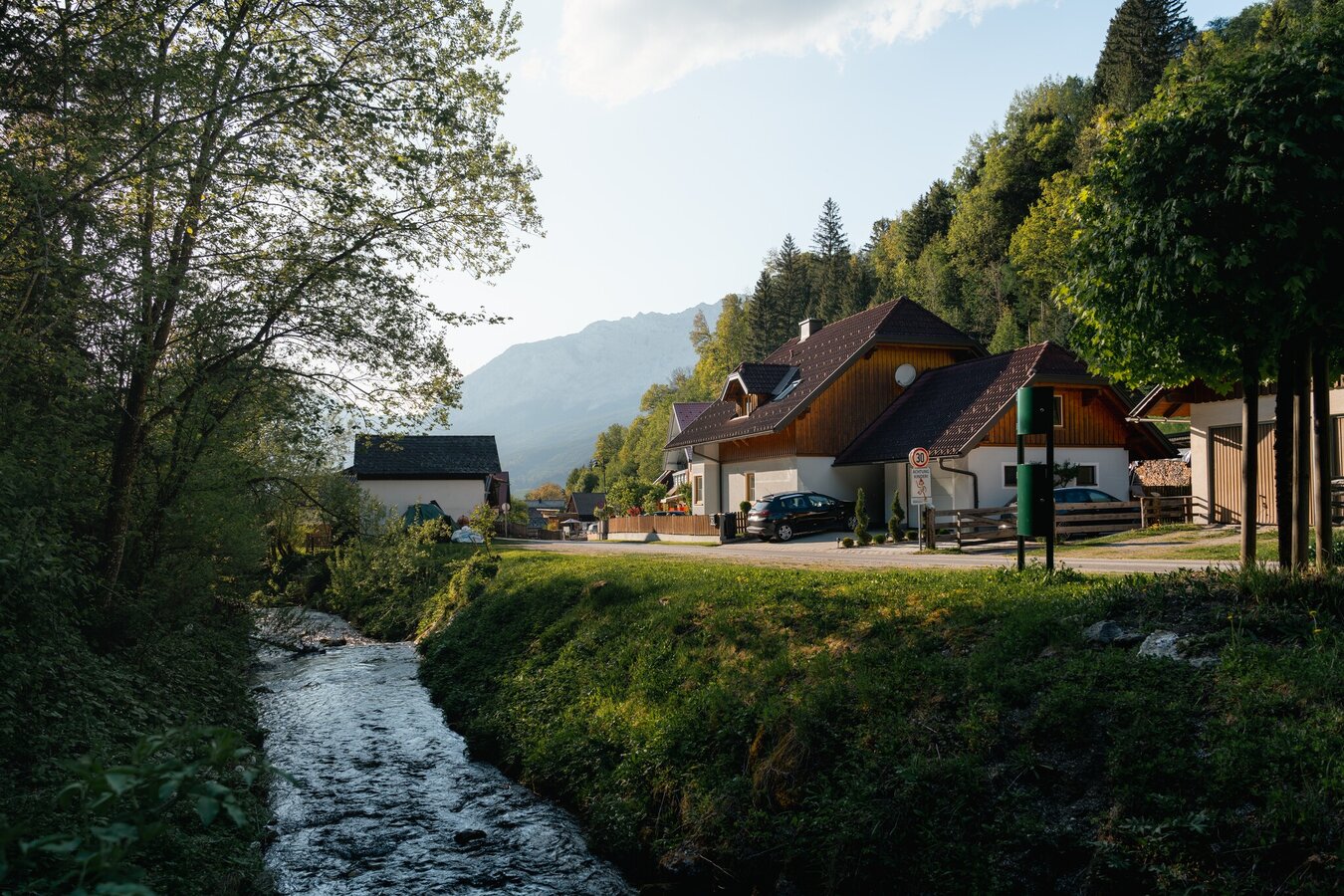
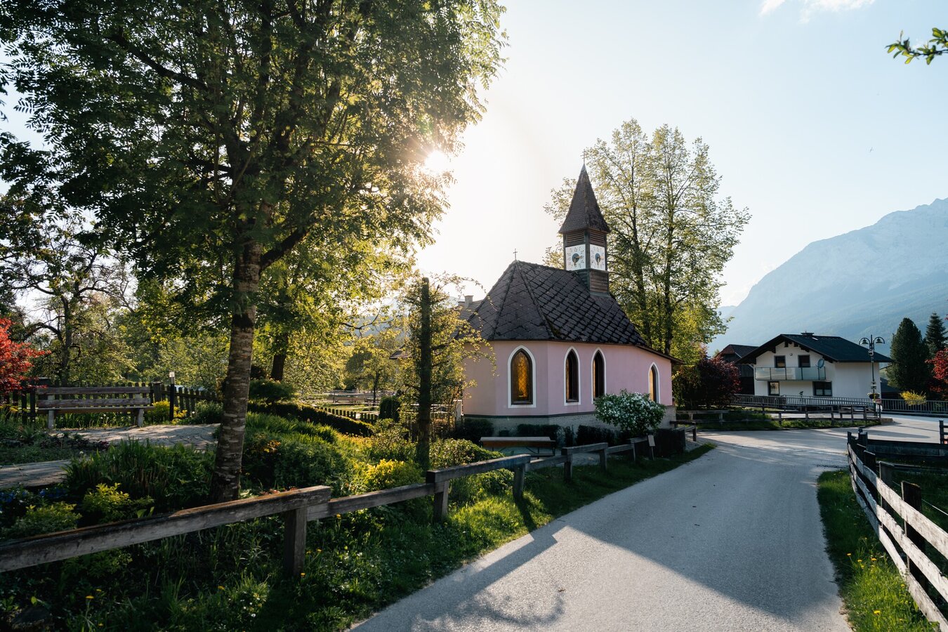
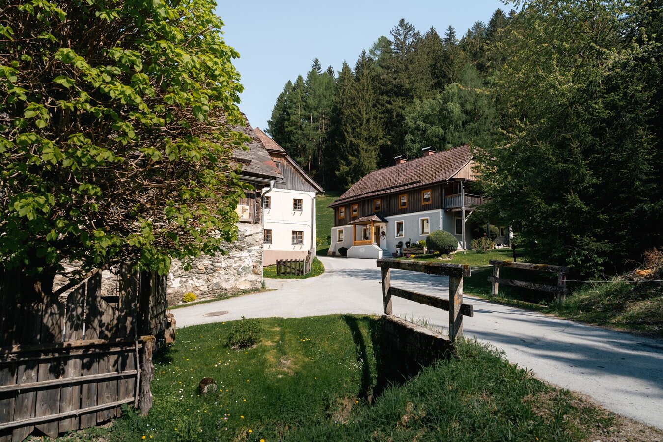
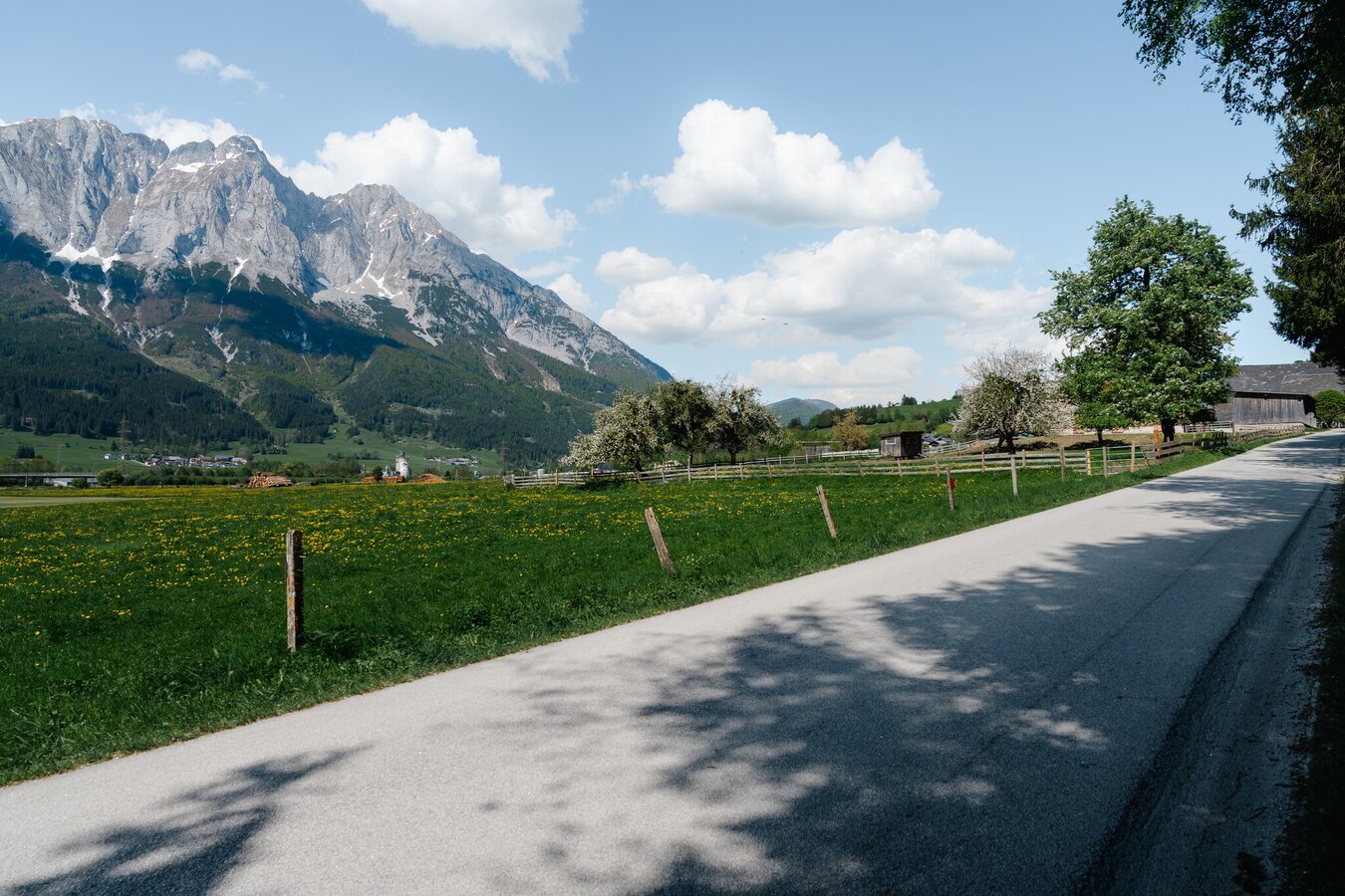
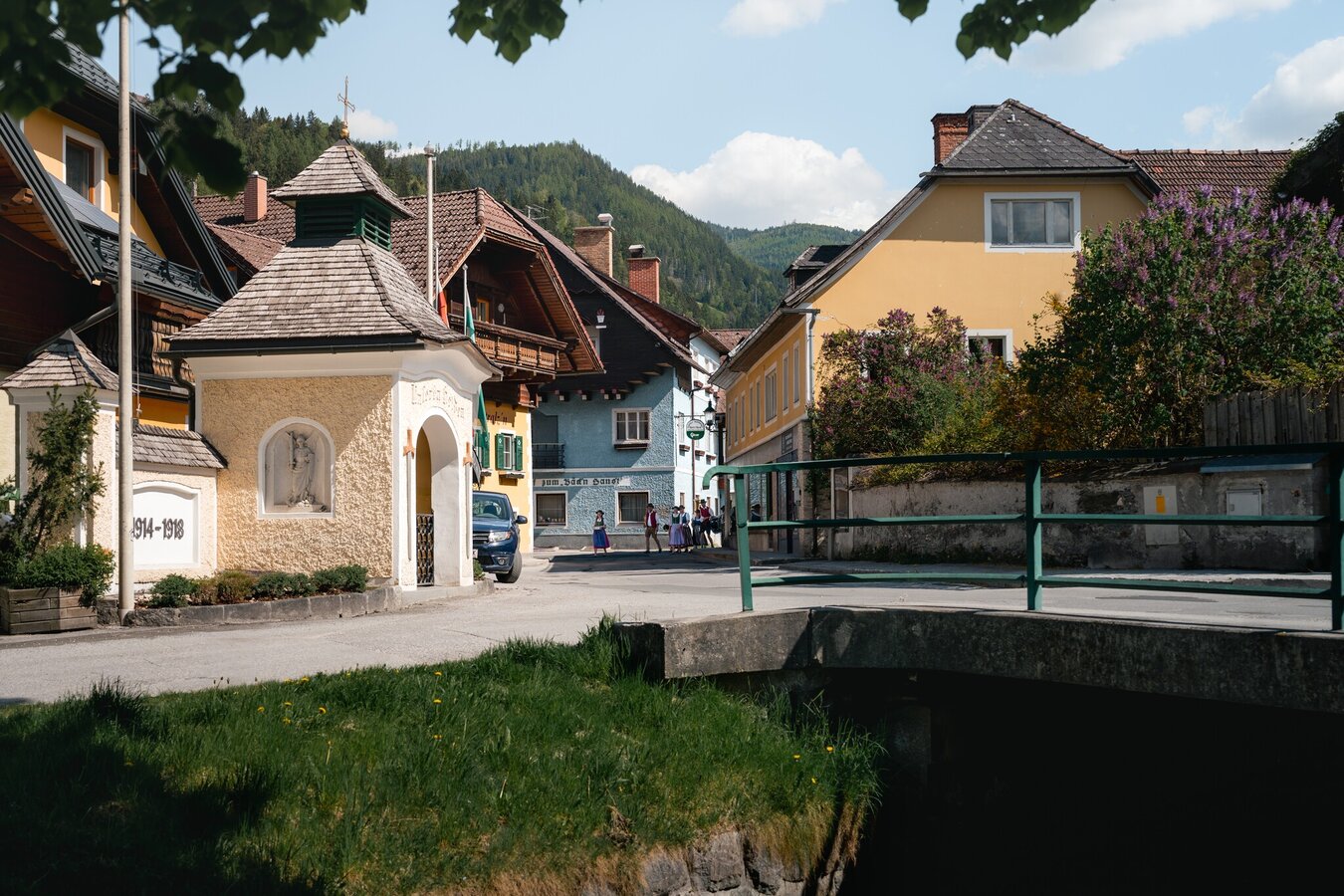
Gröbminger Land
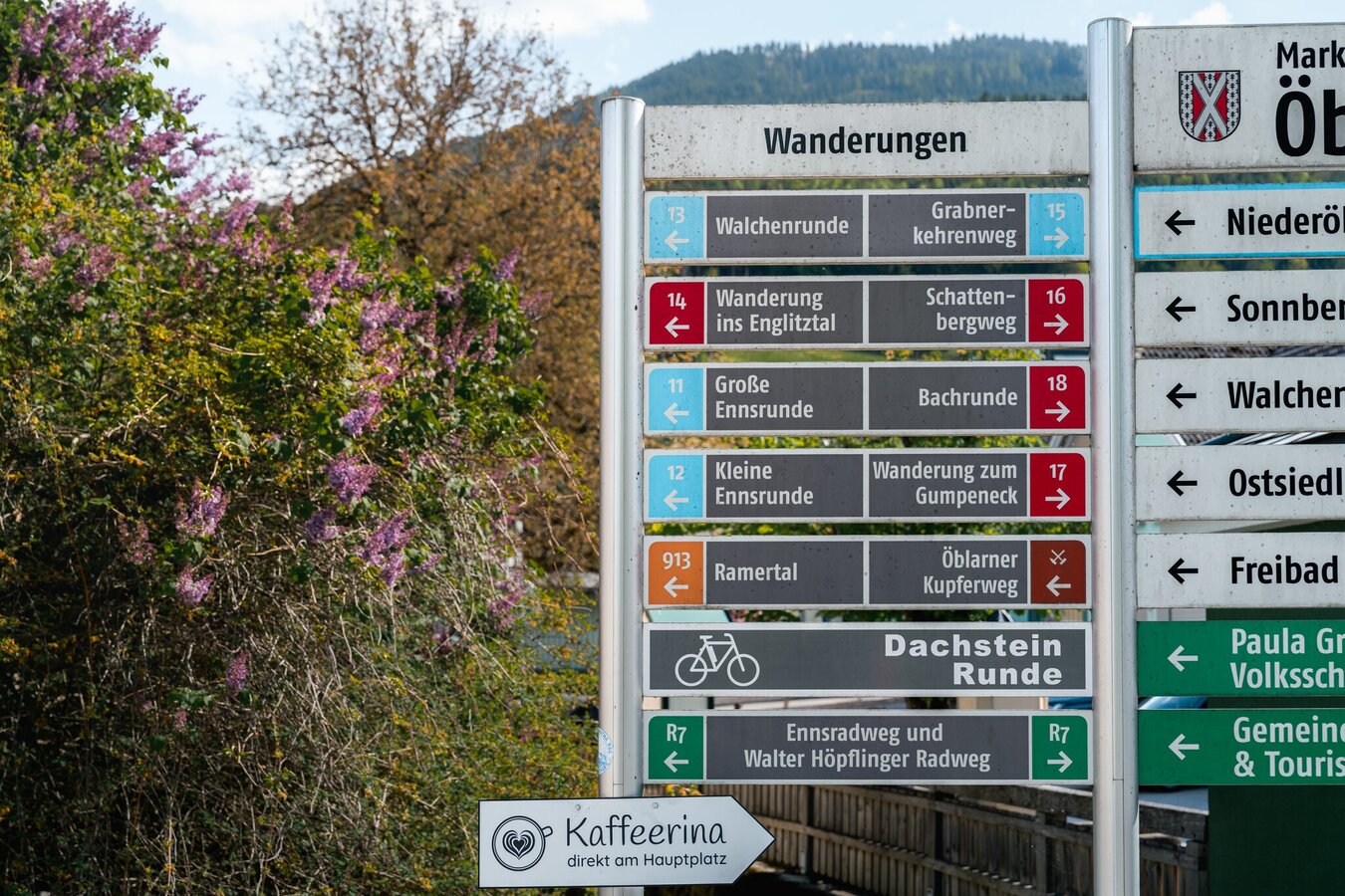
Circular hiking trail Öblarn-Niederöblarn
Family hiking trails
Data:

copyright: Christoph Lukas
copyright: Christoph Lukas
copyright: Christoph Lukas
copyright: Christoph Lukas
copyright: Christoph Lukas
copyright: Christoph Lukas
copyright: Christoph Lukas
copyright: Christoph Lukas
copyright: Christoph Lukas
copyright: Christoph Lukas
copyright: Christoph Lukas
copyright: Christoph Lukas
copyright: Christoph Lukas
copyright: Christoph Lukas
Tour description
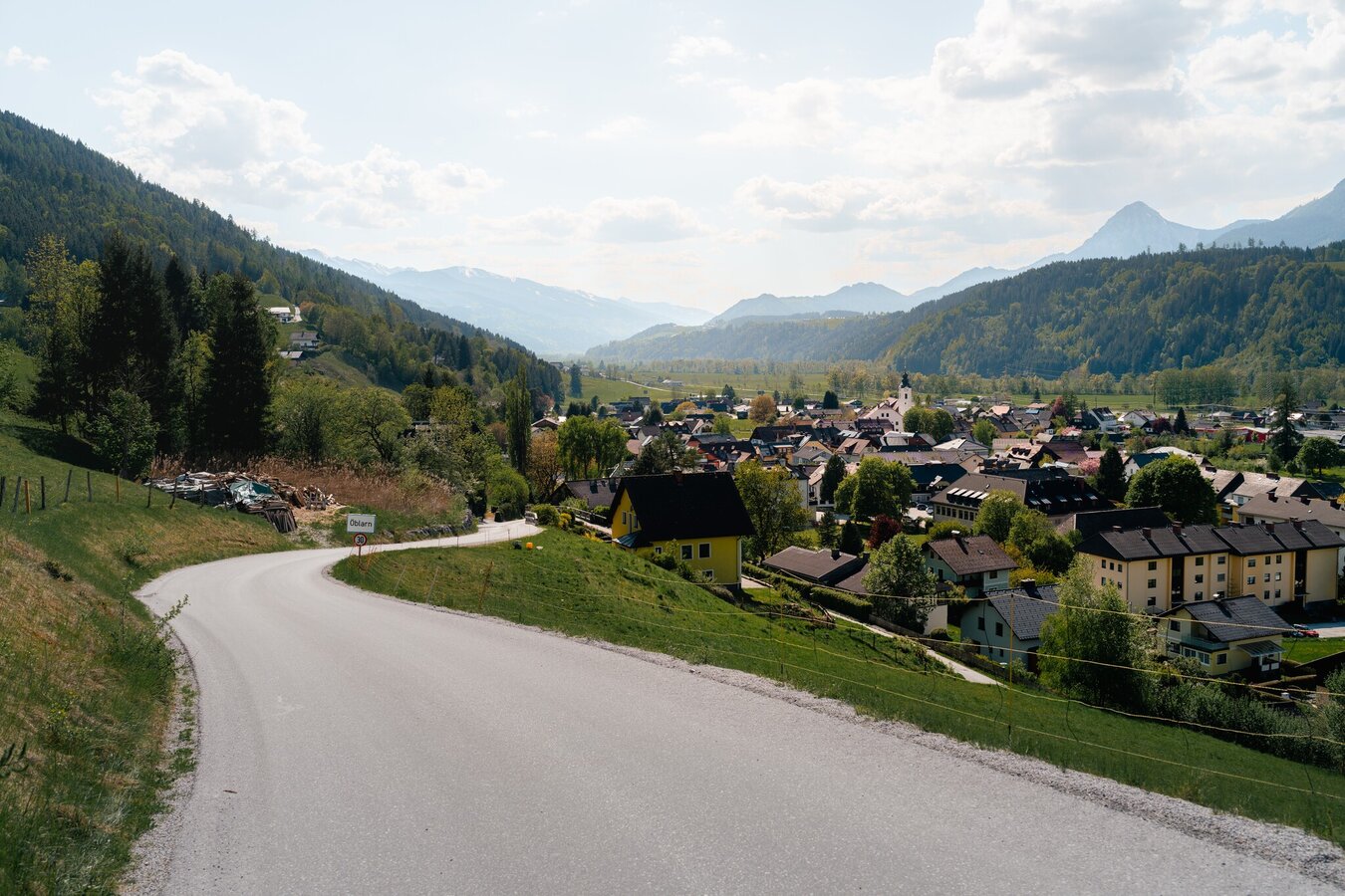
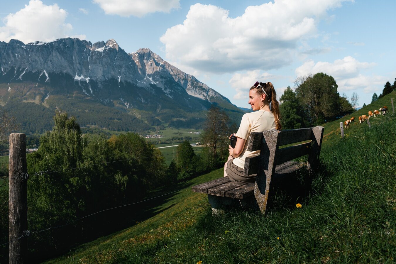
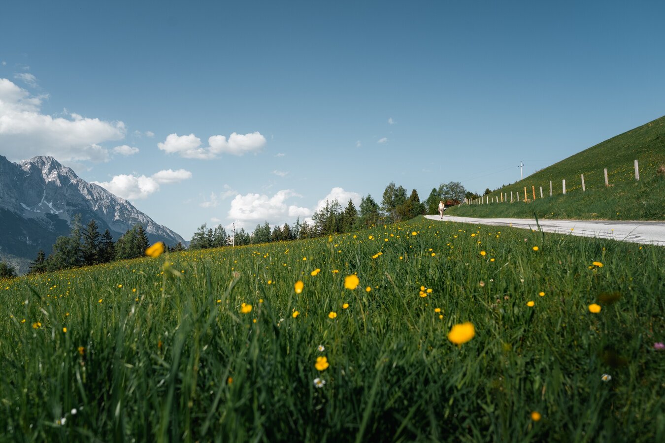
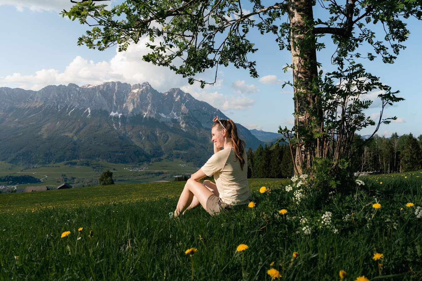
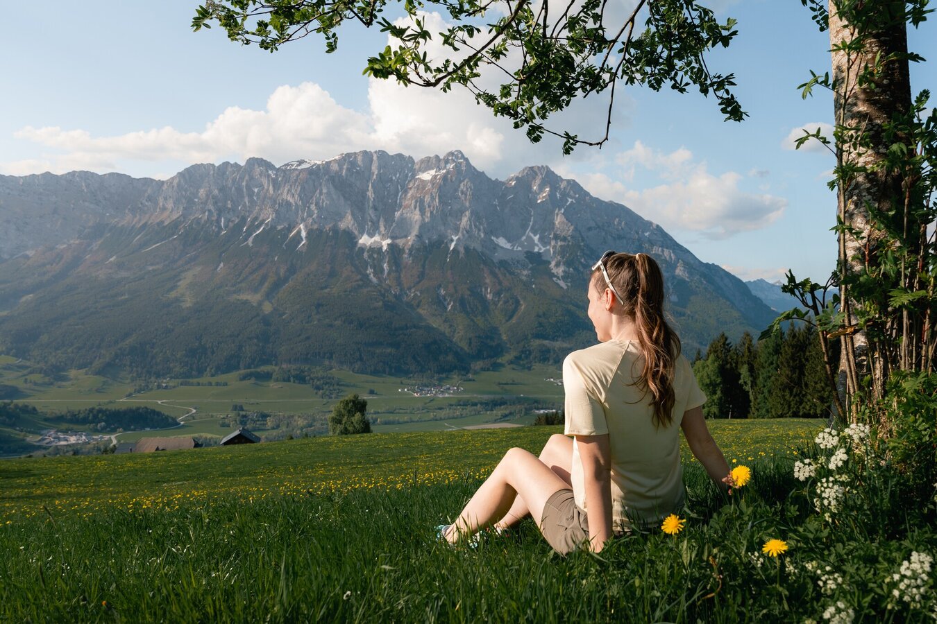
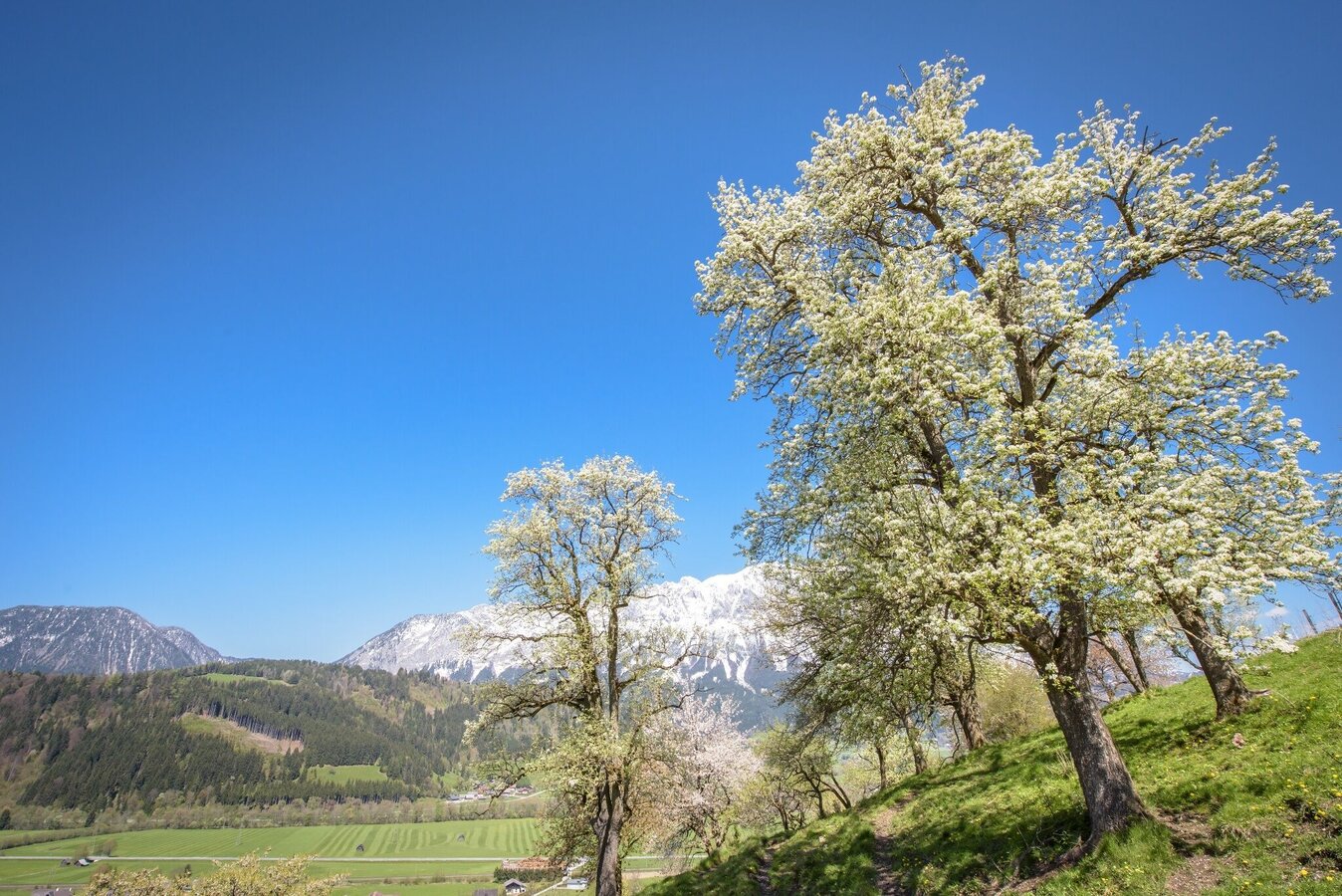
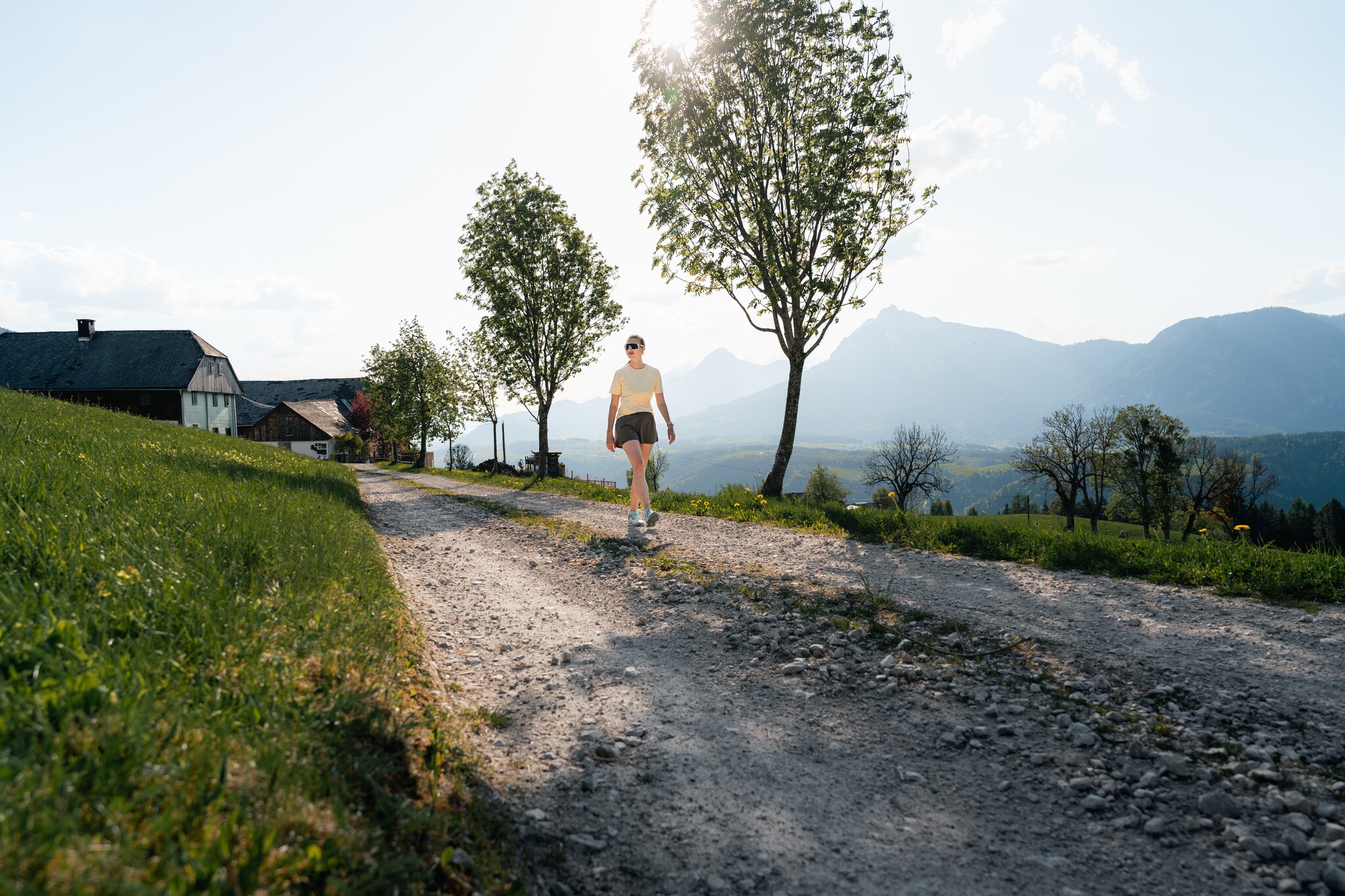
Starting point is the village of Öblarn, ascent via Sonnberg, further over the Moosberg in the direction of Niederöblarn, then you have the possibility to return to Öblarn via the Alte Landstraße or via the beautiful Ennswanderweg (hiking trail) past the Niederöblarn Alpine airfield.
This route is also often used as a running and Nordic walking route.
The tour
easy
Starting and end point
Öblarn
Tour characteristics
Fitness (3/6)
Skills (2/6)
Information
Distance: 10.6 km
Duration:
3 h 45 min
Ascent: 390 m
Descent: 390 m
highest point: 1054 m
Best season
Jan
Feb
Mar
Apr
May
Jun
Jul
Aug
Sep
Oct
Nov
Dec


