Schönmoos Tour - Closure due to a large slope movement
tour.condition.fromDate 24.02.2023
Update from the municipality of Liezen from October 9th, 2023
The regulation of the restricted area by the municipality of Liezen based on the report by the state geologist Mag. Konrad is still upheld and announced both on the official noticeboard and in the area of the restricted area. There is no timetable for lifting the restricted area as the slope is still under observation. In addition, many paths and forest roads in the area remain severely impaired.
April 2023 update
A large slope movement in the Weißenbach district in the Rohrmoos/Schönmoos Mountain Bike Circuit area is being monitored by state geologists and the municipality of Liezen. The affected area is closed across a large area. We strongly urge you not to enter the restricted area, including due to falling trees, not to ride your mountain bike and to pay close attention to the closure information.
The duration of the ban is not yet foreseeable.
https://www.liezen.at/de/aktuelles/grosshang Movement-im-ortsteil-weissenbach-update-30-jaenner.html
Tour description
Information about the actual status is provide here:
Information about the closure on the website of Schladming-Dachstein
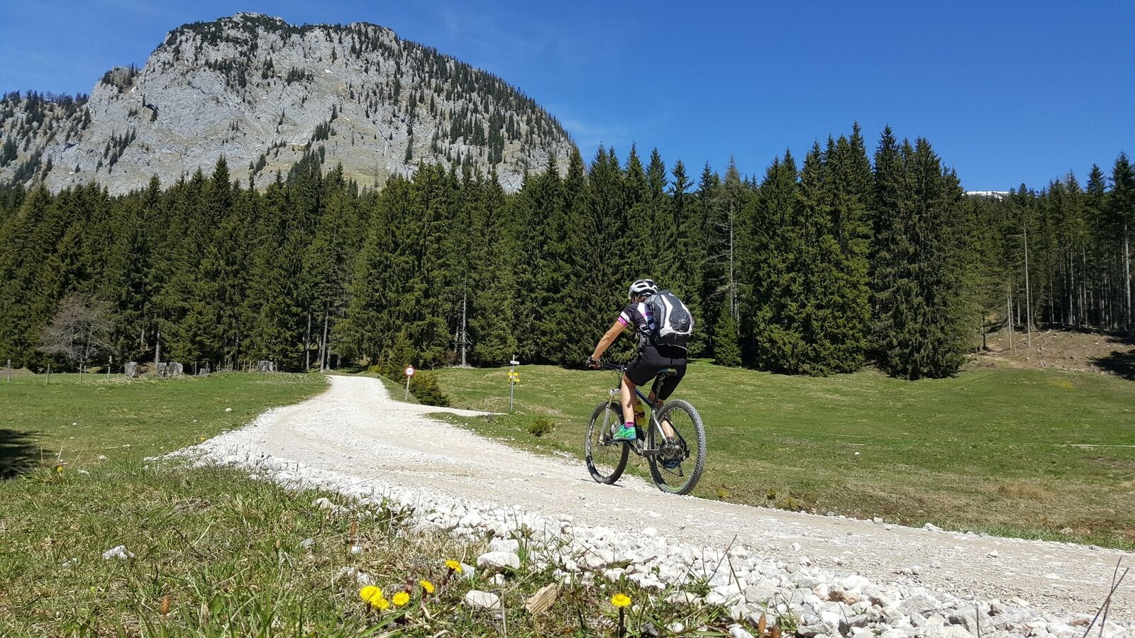
The tour
Map, elevation profile & further information
From Graz: Follow the A9 until you reach Liezen. There change to the B320 and follow the B320. At Wörschach turn right and follow the main road to the sign "Wörschachklamm". There turn right
Parking near the ,,Wörschach Klamm'' or in the center of the village. (limited)- Always wear a helmet and appropriate clothing.
- Stay on it on the signposted bike routes.
- SOME ROUTES MAY ONLY BE USED AT CERTAIN TIMES. PLEASE KEEP TO THESE.
- At all other times, the forest, meadows and their inhabitants may rest. Please be considerate of them.
- Mountain and valley want to be in tip-top shape for you. Therefore, always expect work on the trails.
- Pedestrians and animals can also cross your path from time to time. Therefore, drive with foresight and give them priority.
- Please also remember to close pasture fences.
- Use the brakes in a controlled manner to protect forest and meadow soils.
- Rain is good for nature. If possible, refrain from riding on the trails afterwards.
- Garbage on meadows and trails can not smell mountain and valley. Please take it with you.
- Agriculture, forestry and hunting are important partners for Berg und Tal. They allow you to ride on many of their trails. Be aware, only a good cooperation will guarantee your biking pleasure in the future.
- In case of emergency, please dial the following emergency numbers: No. 140 - Mountain rescue No. 112 - Euro emergency call
- Bicycle helmet, cycling clothes, sturdy shoes, small first aid kit, maps and a fully charged cell phone.
- The right bike: mountain bike or gravel bike with lugged tires, road bikes are not recommended.
- A basic kit of tools and accessories:Spare tube and/or patch kit, universal wrench, air pump, brake and shift cables, and a screwdriver.
- May 15 to August 31 from 08.00 a.m. to 06.00 p.m.
- September 1 to September 30 from 08.00 a.m. to 05.00 p.m.
Tourism information: www.schladming-dachstein.at
Tourism blog: www.derbergdastal.at
Tourist Office Schladming-Dachstein
Ramsauerstrasse 756
8970 Schladming
T: +43 3687 23310
Garbage on meadows and paths can not smell mountain and valley. Please take it with you. Agriculture and forestry are important partners for Berg und Tal. They allow you to walk and drive on many of their paths. Be aware that only good cooperation will guarantee your recreational enjoyment in the future.
- GRIMMING-DONNERSBACHTAL Leisure Map (1:31.000). Available free of charge at the tourist offices and accommodation establishments.
- SCHLADMING-DACHSTEIN mountain bike map: 24 biking routes as individual sheets to take out with detailed map illustrations, descriptive texts and altitude profile. Bilingual: German and English


