Planneralm Tour | 317
Tour description
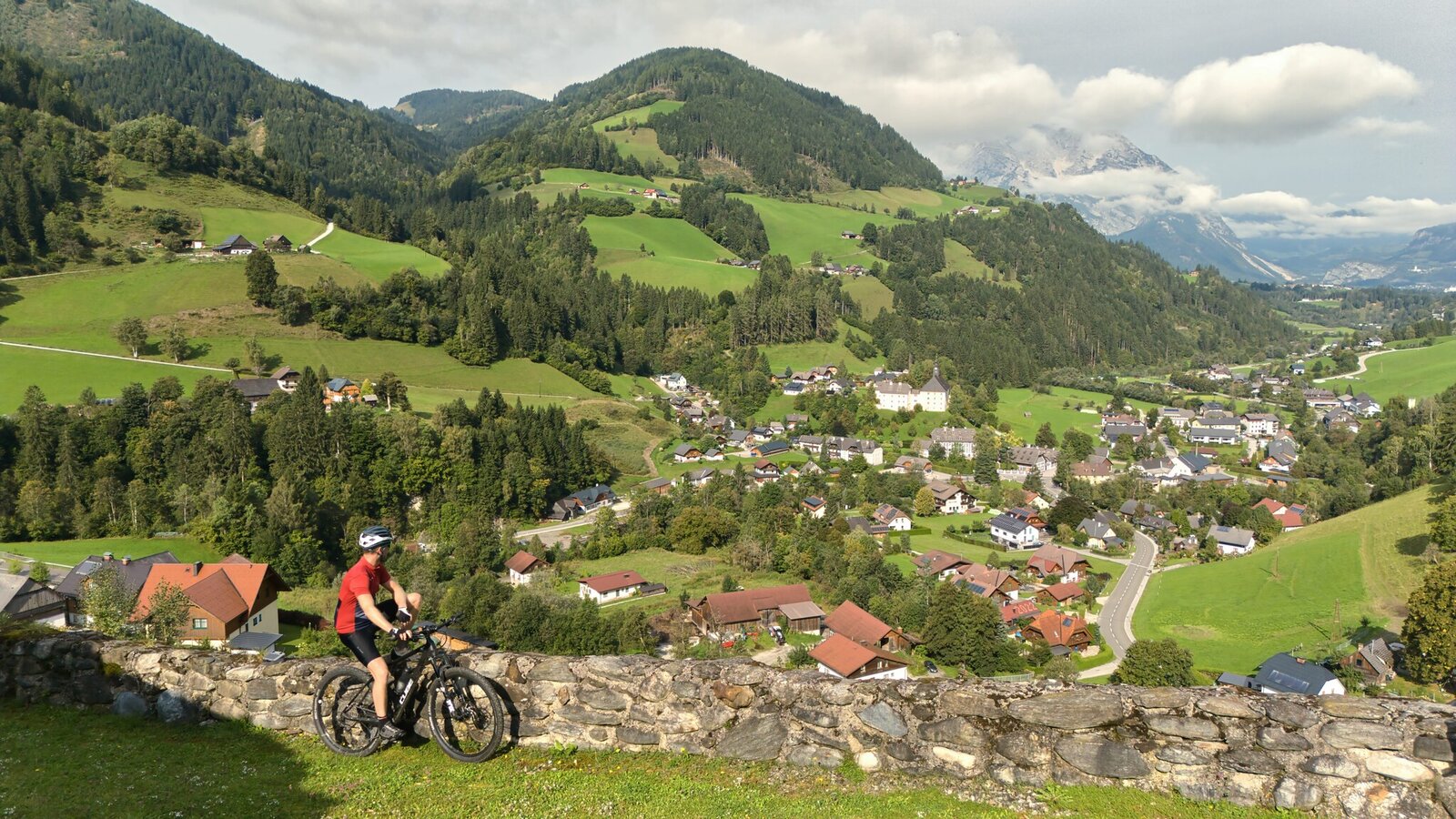
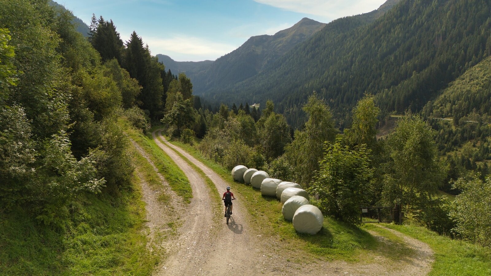
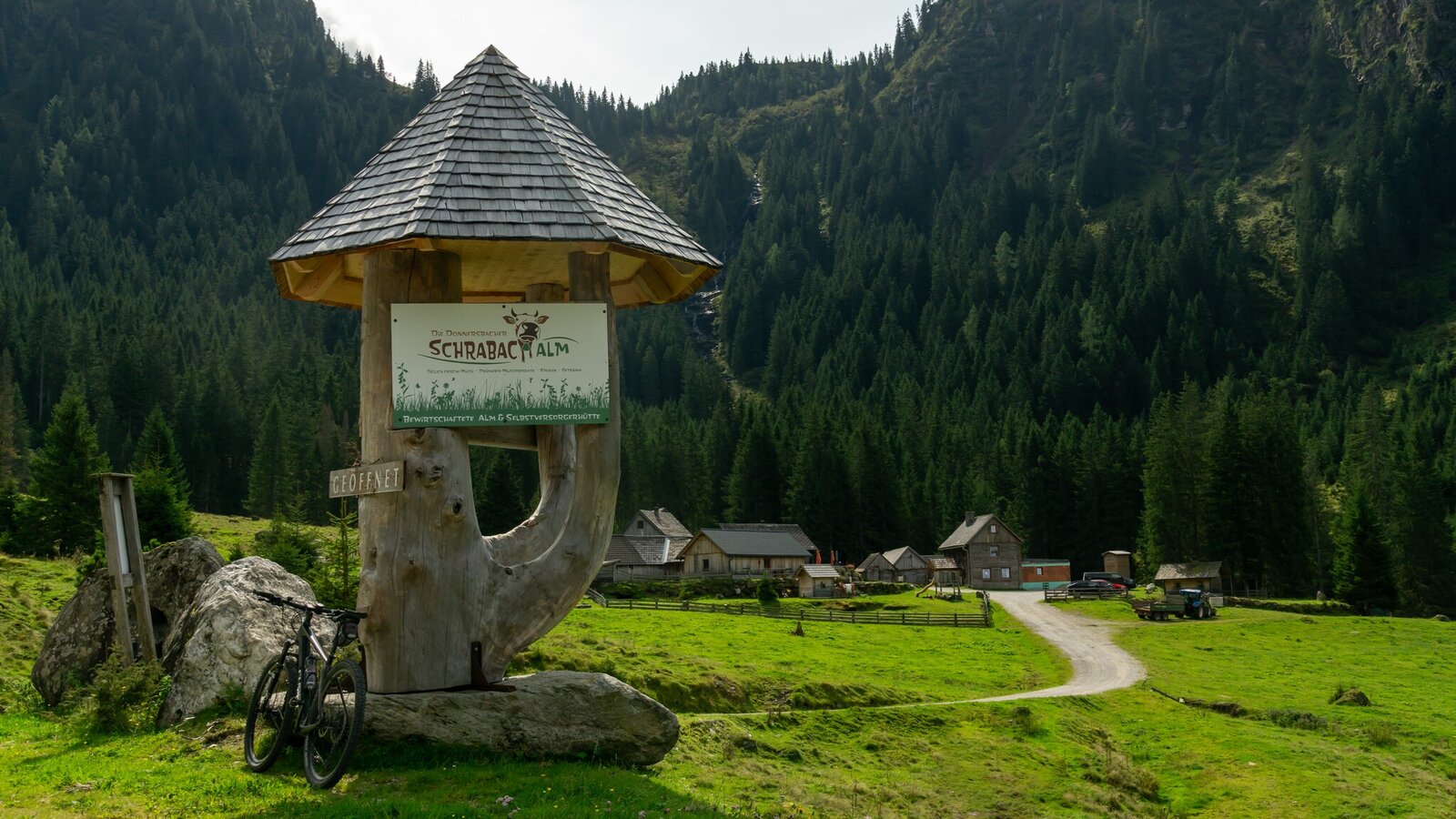
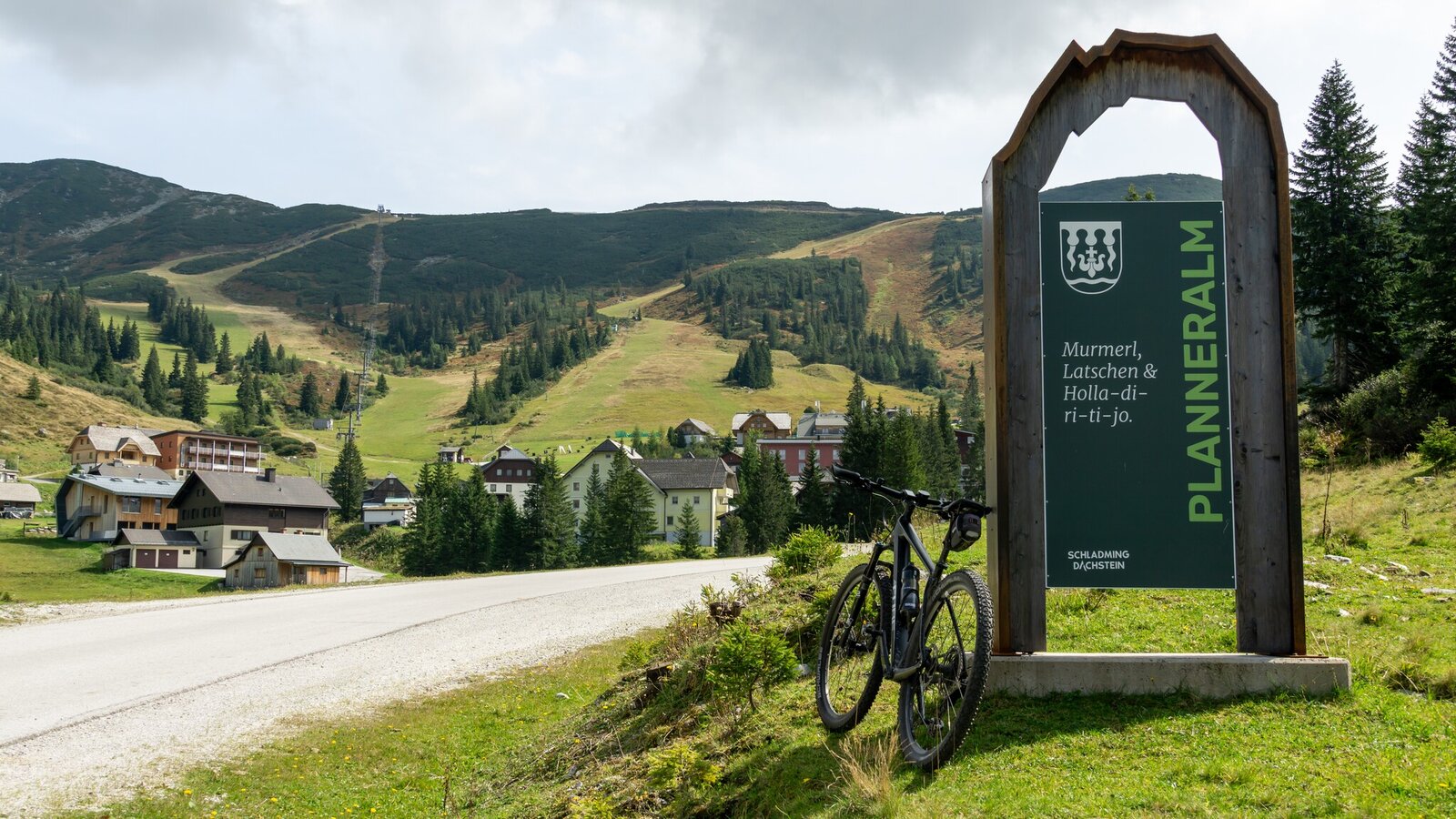
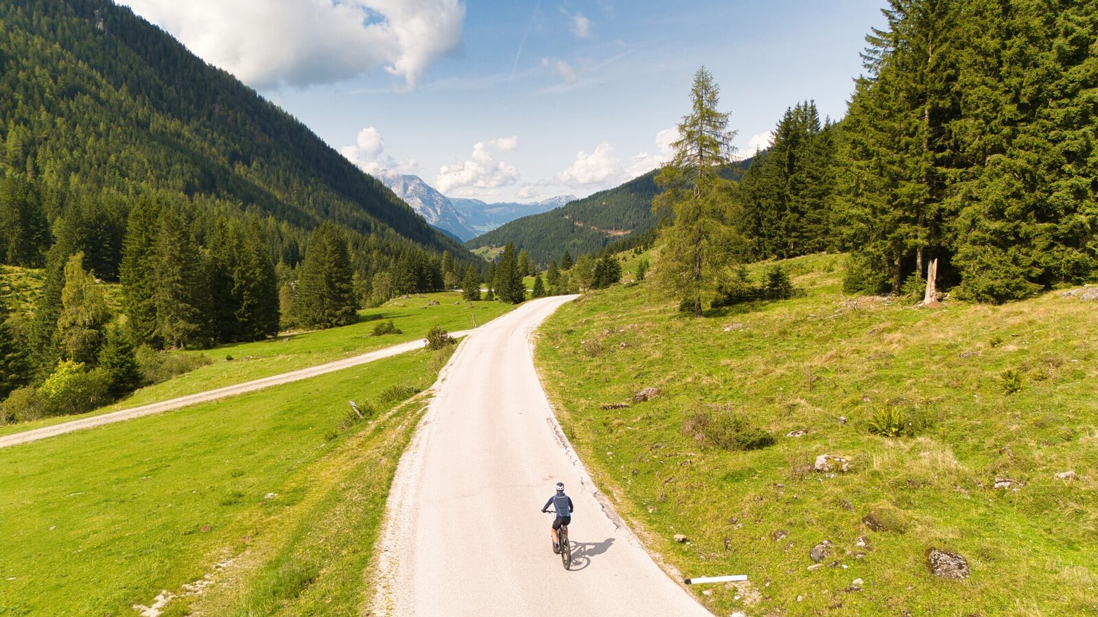
JAGGEDLY ON D'OIM. This mountain bike loop starts in Donnersbach and takes you steeply uphill via the Plannerstraße, passing the Ertlscheigerhaus and the Schrabacherhütte to the Planneralm. Here, you'll be rewarded with stunning views and alpine delicacies. The return route leads via Schaablehen (accessible from June 15) and takes you back to Donnersbach on varied gravel paths.
The tour
Map, elevation profile & further information
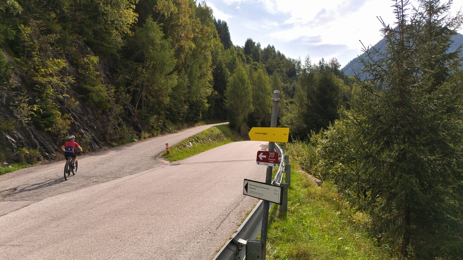
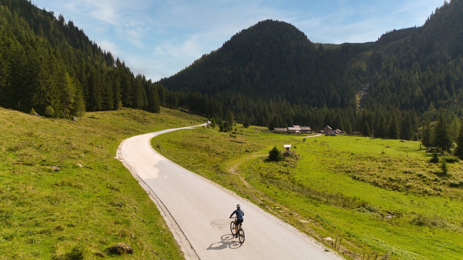
The route then continues along the Planneralmstraße towards Furrach. Here, take a slight left onto the Prechtlweg, which leads you past the Kohlmandl and the Badlechneralm.
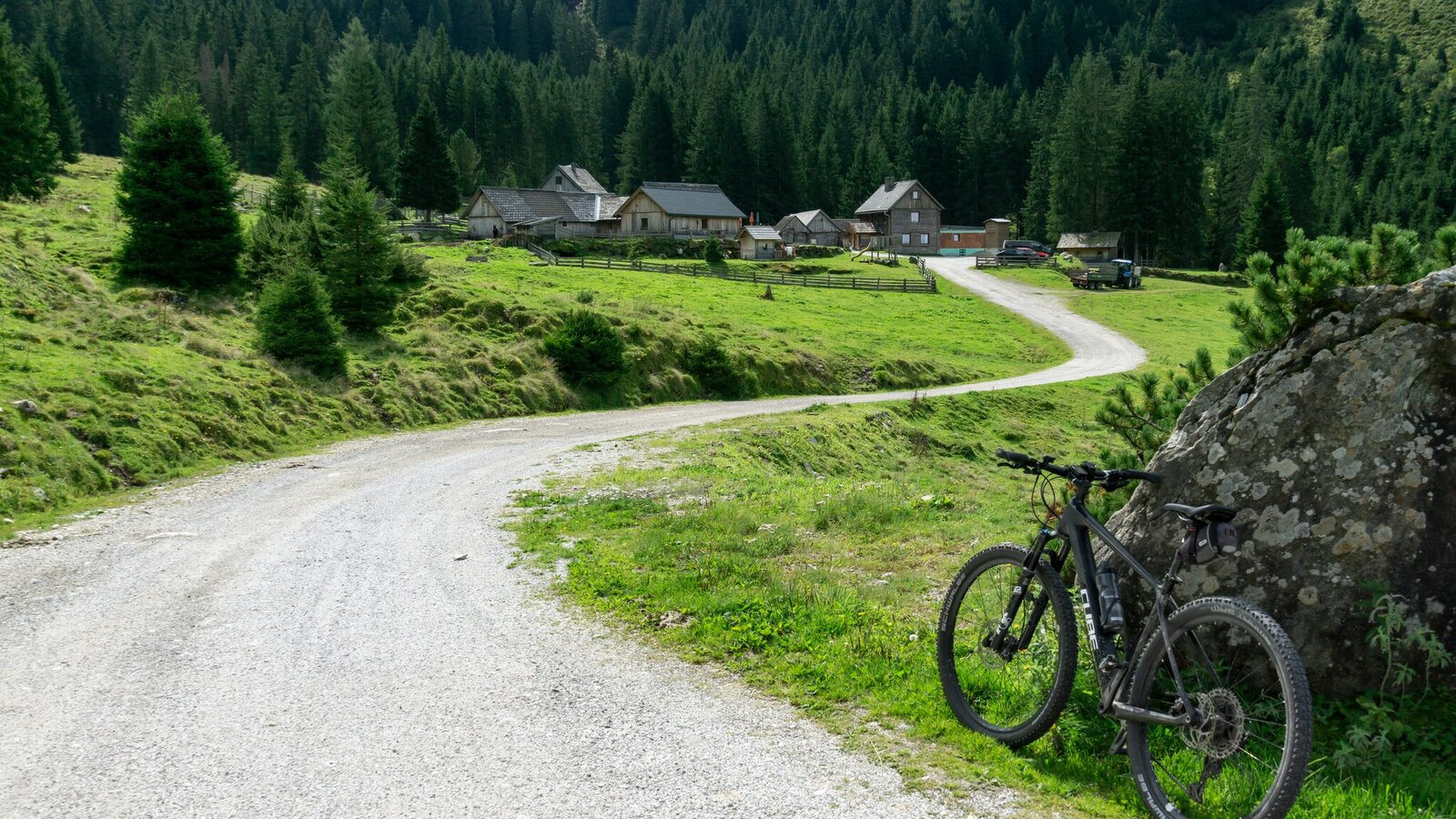
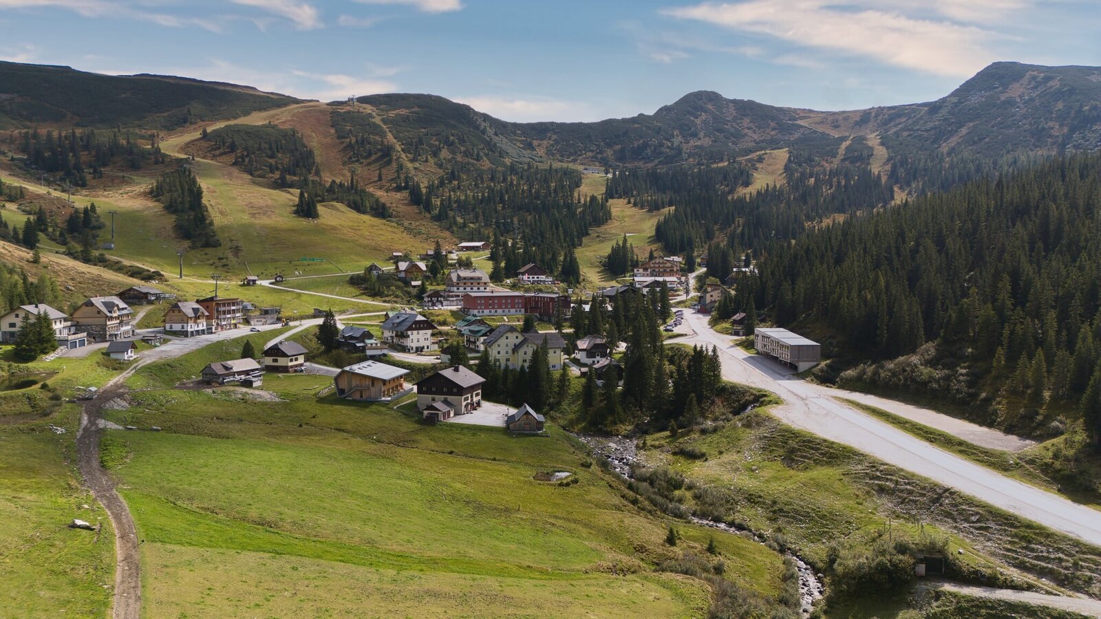
Back on the Planneralmstraße, the final section of the climb to the Planneralm, the highest point of the tour, begins. Here, you'll find impressive alpine landscapes and several inviting huts – perfect for a refreshing break.
Descent
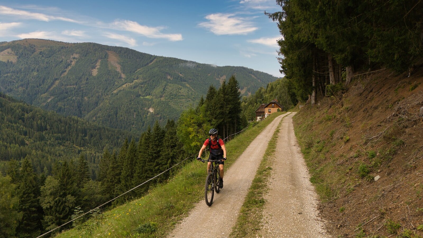
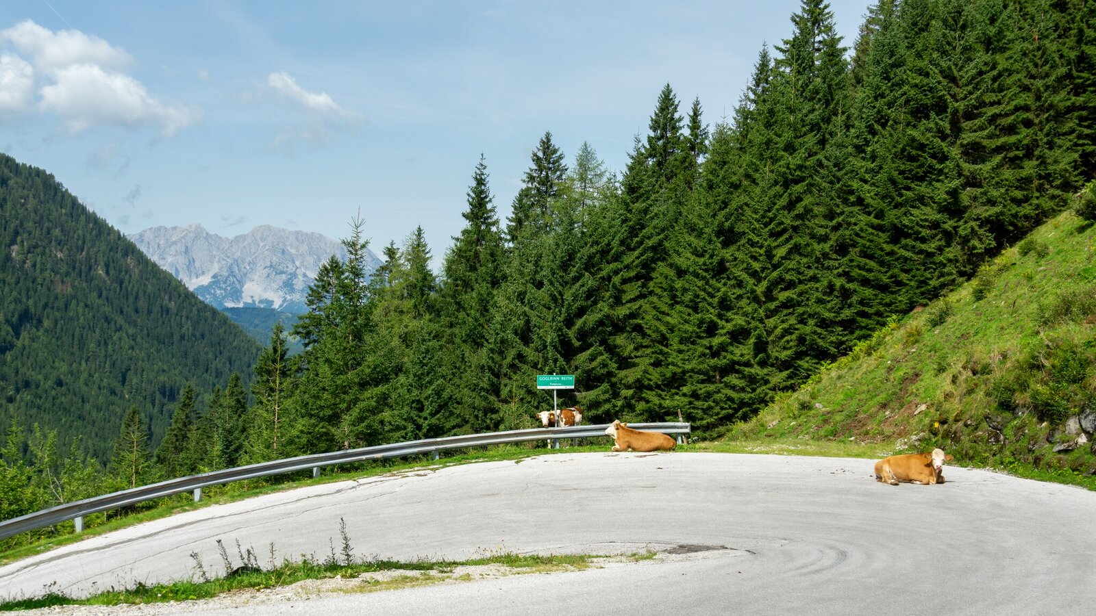
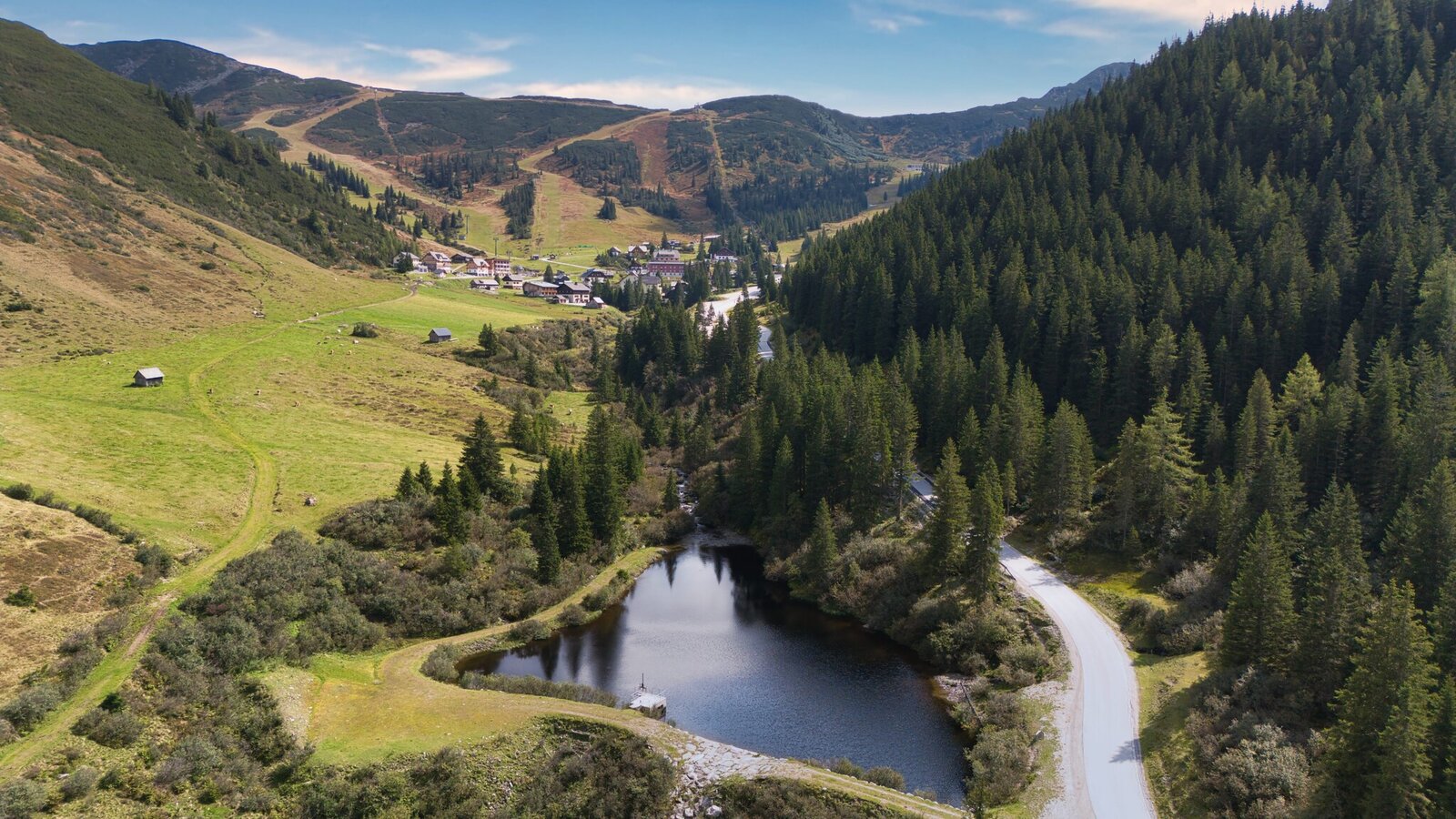
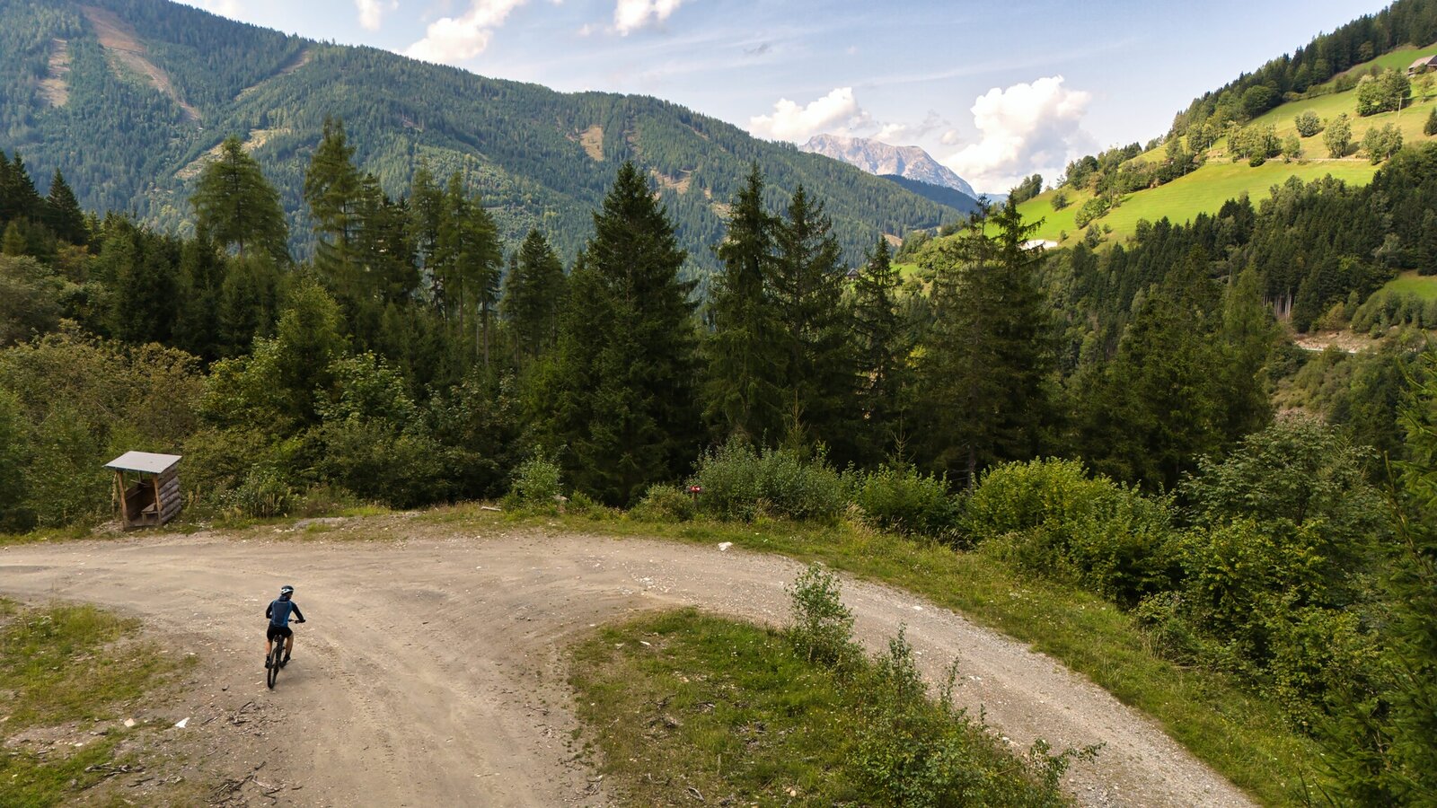
The descent takes you through stunning mountain scenery towards Donnersbach. At the Schaab Reith hairpin, turn left – Important: This section is only open from June 15 to September 30 to protect the local wildlife. If the path is closed, please follow the paved road downhill instead.
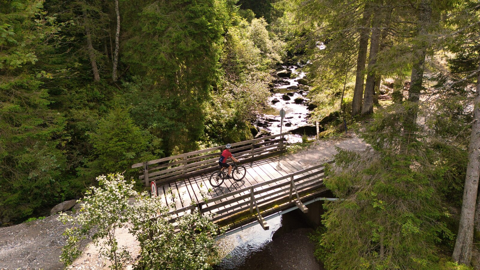
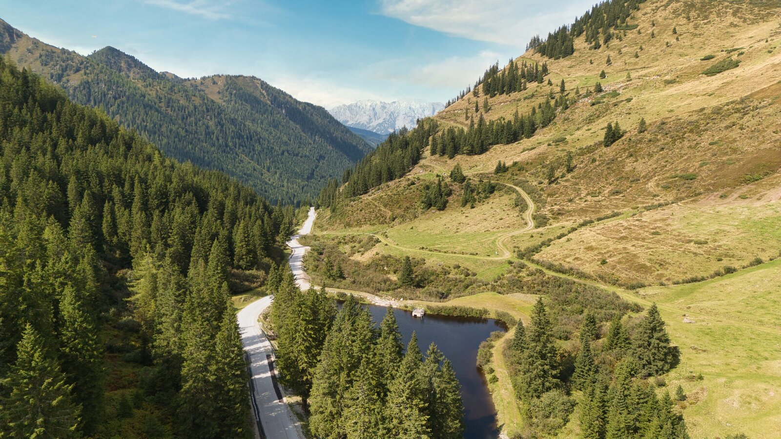
On the forest road, exercise caution – there are several sharp bends and potentially slippery sections. Once you reach the valley floor, the route continues on asphalt towards Donnersbach. Near Fuchsberg, the route switches back to a gravel path for the final kilometers, bringing you back to your starting point at the village square.
Highlights:
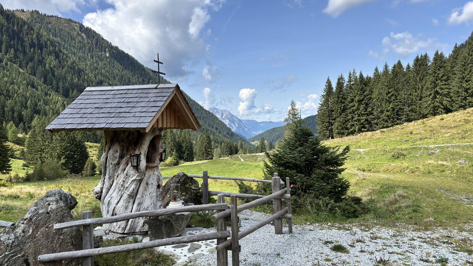
- Historic Ägidiuskirche
- Idyllic alpine pastures and panoramic views at the Planneralm
- Diverse route with a mix of forest and gravel paths
Important Notes:
- Respect the wildlife protection periods (June 15 - September 30)
- Be cautious on the forest road: sharp bends and steep sections ahead!
- Always wear a helmet and appropriate clothing.
- Stay on it on the signposted bike routes.
- SOME ROUTES MAY ONLY BE USED AT CERTAIN TIMES. PLEASE KEEP TO THESE.
- At all other times, the forest, meadows and their inhabitants may rest. Please be considerate of them.
- Mountain and valley want to be in tip-top shape for you. Therefore, always expect work on the trails.
- Pedestrians and animals can also cross your path from time to time. Therefore, drive with foresight and give them priority.
- Please also remember to close pasture fences.
- Use the brakes in a controlled manner to protect forest and meadow soils.
- Rain is good for nature. If possible, refrain from riding on the trails afterwards.
- Garbage on meadows and trails can not smell mountain and valley. Please take it with you.
- Agriculture, forestry and hunting are important partners for Berg und Tal. They allow you to ride on many of their trails. Be aware, only a good cooperation will guarantee your biking pleasure in the future.
- In case of emergency, please dial the following emergency numbers: No. 140 - Mountain rescue No. 112 - Euro emergency call
- Bicycle helmet, cycling clothes, sturdy shoes, small first aid kit, maps and a fully charged cell phone.
- The right bike: mountain bike or gravel bike with lugged tires, road bikes are not recommended.
- A basic kit of tools and accessories:Spare tube and/or patch kit, universal wrench, air pump, brake and shift cables, and a screwdriver.
In order to protect the game (resting periods), driving on the trails is only allowed during the following times:
- May 15 to August 31 from 08.00 a.m. to 06.00 p.m.
- September 1 to September 30 from 08.00 a.m. to 05.00 p.m.
Tourism information: www.schladming-dachstein.at
T: +43 3687 23310
Garbage on meadows and paths can not smell mountain and valley. Please take it with you. Agriculture and forestry are important partners for Berg und Tal. They allow you to walk and drive on many of their paths. Be aware that only good cooperation will guarantee your recreational enjoyment in the future.
Bike & Hike Station with Bosch chargers:
- GH Leitner Donnersbach
- Schrabachalm
- GH Grimminglick Planneralm
- Bikemap Schladming-Dachstein, free in oll tourist office and online.


