contact
ForYou Club
7 / 83 lifts
back
Naturpark Sölktäler

Sölkdörfl winter hike

Tour description

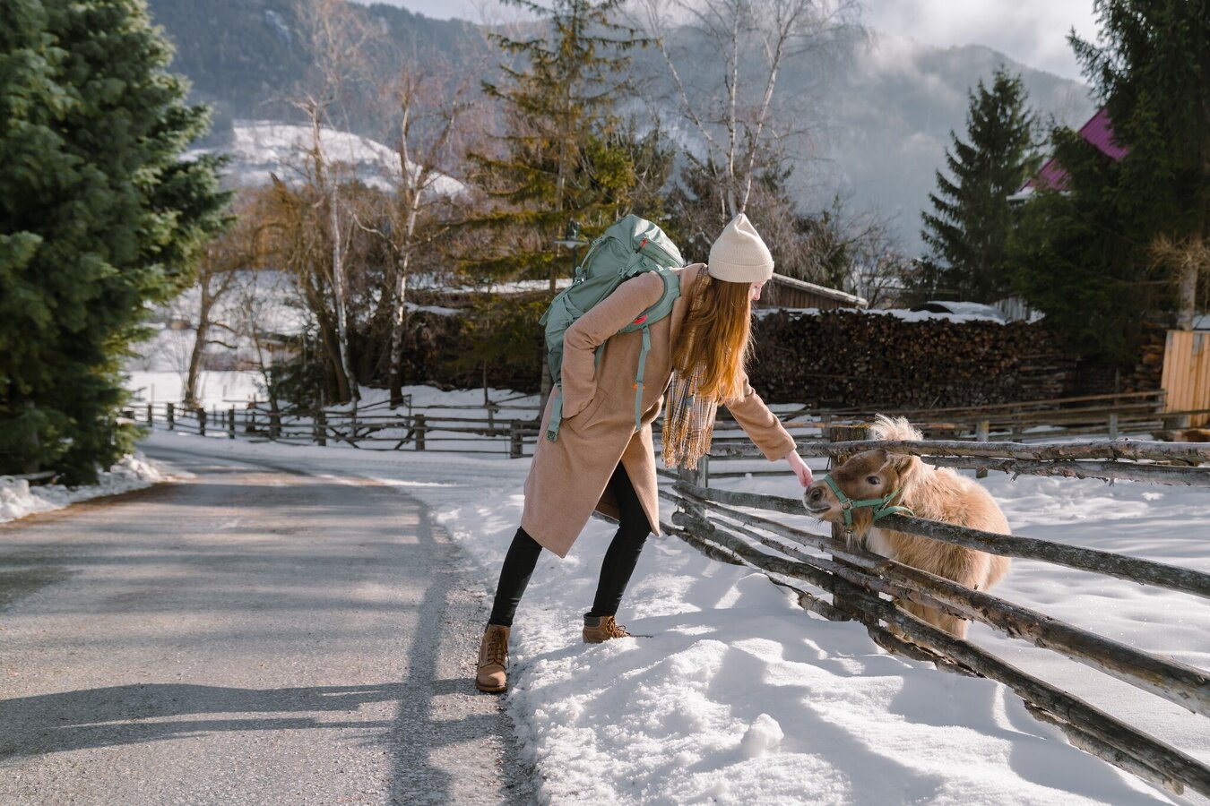
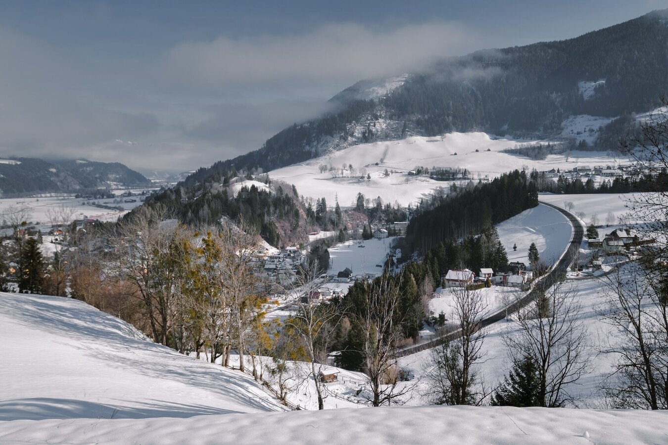
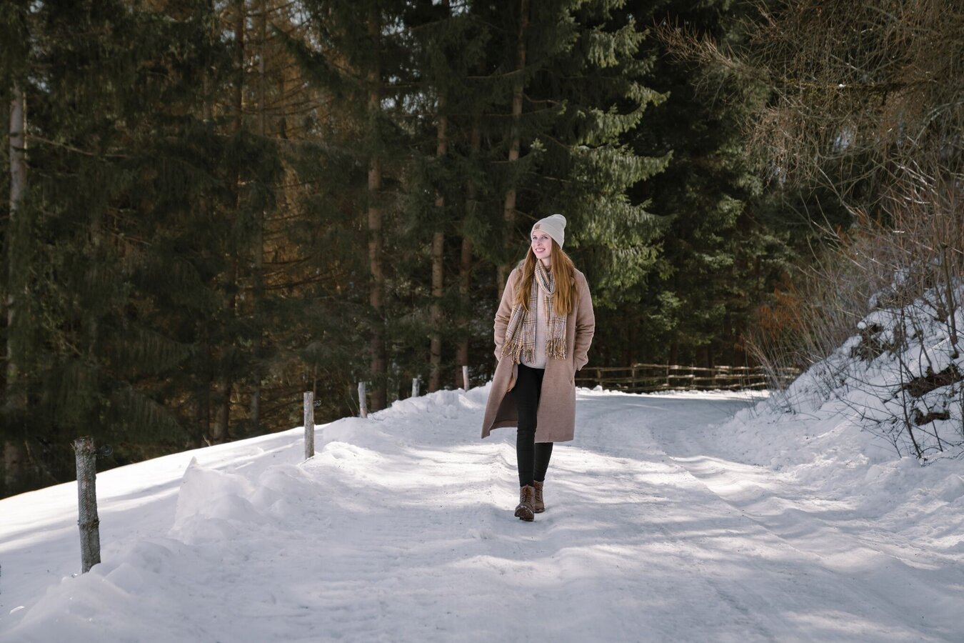
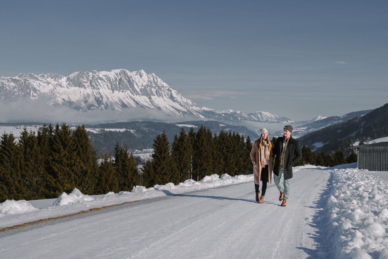
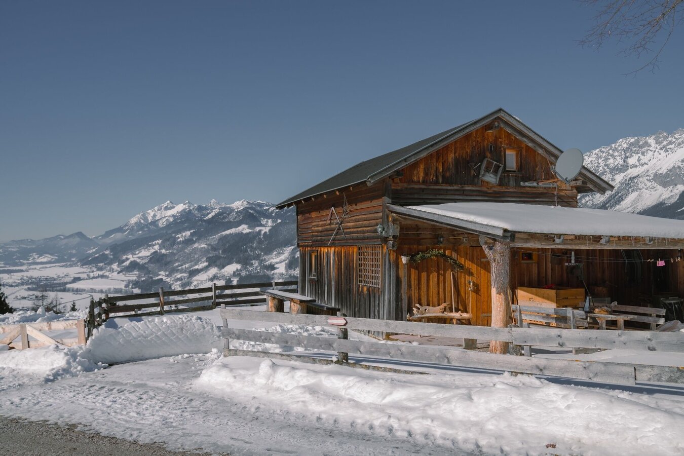
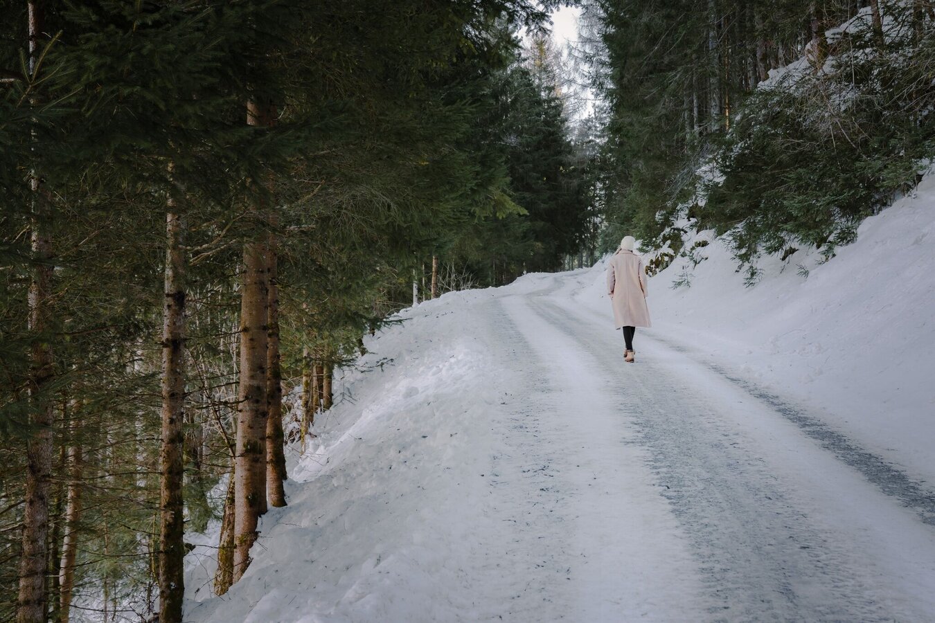
A circular hiking trail that blends beautifully into the landscape about 100-200 metres above the Ennstal at the beginning of the Kleinsölktal. Through old villages and forests you can also catch a glimpse of very old farmsteads. The wide view into the Ennstal formed by glaciers and deep into the Niederen Tauern allows you to enjoy the naturalness of this area.

The tour

easy
Starting and end point Car park at junction Sölkdörfl
Tour characteristics
Fitness (2/6)
Information
Distance: 5.1 km
Duration: 1 h 45 min
Ascent: 235 m
Descent: 235 m
highest point: 959 m
Best season
Jan
Feb
Mar
Apr
May
Jun
Jul
Aug
Sep
Oct
Nov
Dec

Map, elevation profile & further information

From the Dörfl you walk along the municipal road up to Gelsenberg at the large farm, named "Bauer". Continue up the road until you see the Blasenebner farm. From there you walk through unprepared terrain through a small area of forest and meadow. This section has a maximum of well-trodden, not cleared sections. Icy spots are possible in winter. We now go downhill on a forest path to the Reith village. A short stretch along the road before you turn left across the Dörfl back to the starting point.

From the West (motorway A10): at Altenmarkt (exit 63) turn towards Graz. Follow the B99 to Radstadt. Here on the B320 towards Graz. At Pruggern follow the signs towards the nature park. Just before Stein an der Enns turn towards Kleinsölk.

From the East (motorway A9): at Selzthal (exit 69) turn towards Liezen/Radstadt. From Liezen the B320 to Espang. There, turn in the direction of Niederöblarn/Naturpark Söltäler. Shortly after Stein an der Enns turn towards Kleinsölk.

To the start of the route: Follow the road to the Sölkdörfl junction. Turn right and then park immediately on the left.

Car park at the Sölkdörfl junction.

In winter, caution is advised even on seemingly easy hikes. In shady areas, the ground can be slightly icy, and there may be avalanche danger below slopes. Mountaineering is therefore primarily a matter of personal responsibility – even more so in winter. Tourist associations and avalanche warning services assume no liability whatsoever based on the information provided.

Your equipment should ideally include:
  • Ankle-high, warm shoes. Waterproof, warm shoes with a treaded sole are ideal. Optional: Gaiters for additional snow protection.
  • A hood and warm clothing, ideally layered. Don't forget a change of clothes for longer winter hikes: a wind and waterproof jacket and trousers.
  • A small backpack with a warm drink in a thermos and snacks as needed
  • Sun protection
  • Cell phone
  • First aid kit
  • Optional: crampons/snow spikes (snow chains for shoes), telescopic hiking poles for better grip and balance.
With the Schladming-Dachstein Winter Walking Ticket you can use several cable-cars and chair-lifts to get to the trail heads of some of the most beautiful winter hikes.
https://www.schladming-dachstein.at/winterhikingticket
 

Get more information in the nature park office: 

Phone: +43 3685 23310 501
info@schladming-dachstein.at
Stein an der Enns 107
8961 Sölk

Card: winter experience map Schladming-Dachstein "MITTE", available in German at the tourist offices in the Schladming-Dachstein region.

Wheather predicition

today
15.10.2025
Mountain °C
Valley 14 °C
Precipitation
Probability
5 %
Amount
0 l/m²
Wind speed
km / h
Sun
Sun hours
5.5 h
Sunrise
07:23 o clock
Sunset
18:16 o clock

tomorrow
16.10.2025
Mountain °C
Valley 14 °C
Precipitation
Probability
5 %
Amount
0.1 l/m²
Wind speed
km / h
Sun
Sun hours
5.1 h
Sunrise
07:25 o clock
Sunset
18:14 o clock

day after tomorrow
17.10.2025
Mountain °C
Valley 13 °C
Precipitation
Probability
10 %
Amount
0.2 l/m²
Wind speed
km / h
Sun
Sun hours
3.7 h
Sunrise
07:26 o clock
Sunset
18:12 o clock

Tours nearby