Grimming-Donnersbachtal
Roundway Vorderwald
Hiking trail
Data:

copyright: Christoph Lukas

copyright: Christoph Lukas
Tour description
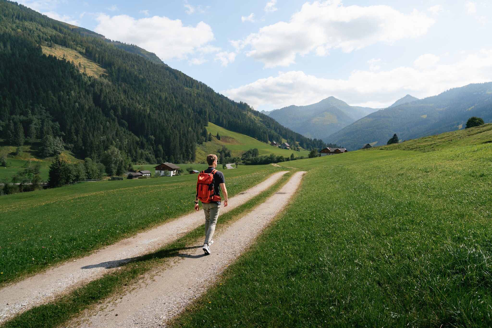
OUT OF THE VALLEY. Past the Stegerhof, after the bridge to the right and once again to the left, before it goes along the edge of the forest in the direction of Vorderwald. Eyes open and laugh muscles on, because along this hike is also the Gstanzlweg.
The tour
easy
tour.detail.accessible-by-public-transport
Starting and end point
Parkplace village center Donnersbachwald
Tour characteristics
Fitness (2/6)
Skills (2/6)
Information
Distance: 5.24 km
Duration:
2 h
Ascent: 100 m
Descent: 101 m
highest point: 1040 m
Best season
Jan
Feb
Mar
Apr
May
Jun
Jul
Aug
Sep
Oct
Nov
Dec
Map, elevation profile & further information
From the parking lot, first cross the bridge and then pass the Stegerhof. Along the gravel path, which is also a toboggan run in winter, continue in the direction of Mörsbachwirt. After about 400 meters, take a sharp right and follow the marked trail no. 7. After a short stretch downhill, turn left onto a forest road. Follow this road for the next kilometer. After crossing the stream, turn right downhill and continue along the forest road out of the valley. Continue trail until you reach a forest road again. After the bend you go straight ahead again and then in small serpentines downhill towards the main road. From there you walk along the main road, partly on the sidewalk, back to the village.
Way number: 3
Coming from the B320, at the traffic circle Trautenfels in the direction of Irdning. Then direction Donnersbach, Donnersbachwald.Free parking at the village center Donnersbachwald.
With the bus 941 to the busstop ,,Donnersbachwald Ort''. There is also the start point of the tour.
Between summerholidays gives no bus-conections.
- Plan your trip in advance, taking into account walking time, distance, elevation gain, hazards, and weather reports.
- Let others know where you are going and when you want to be back.
- Turn back in time if the weather deteriorates.
- Stay on the marked trails.
- If you are a dog owner: keep your dog on a leash and make sure it is quiet.
- The tourist office does not assume any liability based on the information provided.
Read or sing the ,,Gstanzln'' on the way.Tourism information: www.schladming-dachstein.at
Tourist Office Schladming-Dachstein
Ramsauerstrasse 756
8970 Schladming
T: +43 3687 23310
info@schladming-dachstein.at
- SCHLADMING-DACHSTEIN Hiking map east. Available free of charge from tourist offices and accommodation providers.


