Grimming-Donnersbachtal
Plateau hiking tour Planneralm
Winter sports
Data:
Tour description
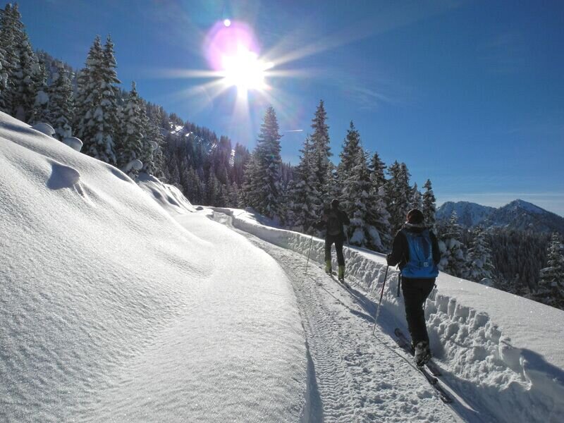
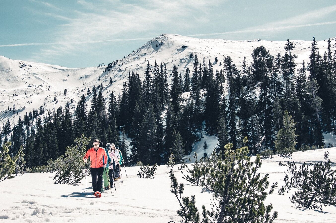
Due to the small difference in altitude and a length of almost 2.5 km, this tour is ideal for families and all those who are on snowshoes for the first time. With the enchanting winter landscape of the Planneralm, this is a small, fine winter hike all around.
The tour
moderate
tour.detail.accessible-by-public-transport
Starting and end point
Kinderland
Tour characteristics
Fitness (3/6)
Skills (2/6)
Information
Distance: 2.36 km
Duration:
1 h 45 min
Ascent: 190 m
Descent: 190 m
highest point: 1810 m
Best season
Jan
Feb
Mar
Apr
May
Jun
Jul
Aug
Sep
Oct
Nov
Dec
Map, elevation profile & further information
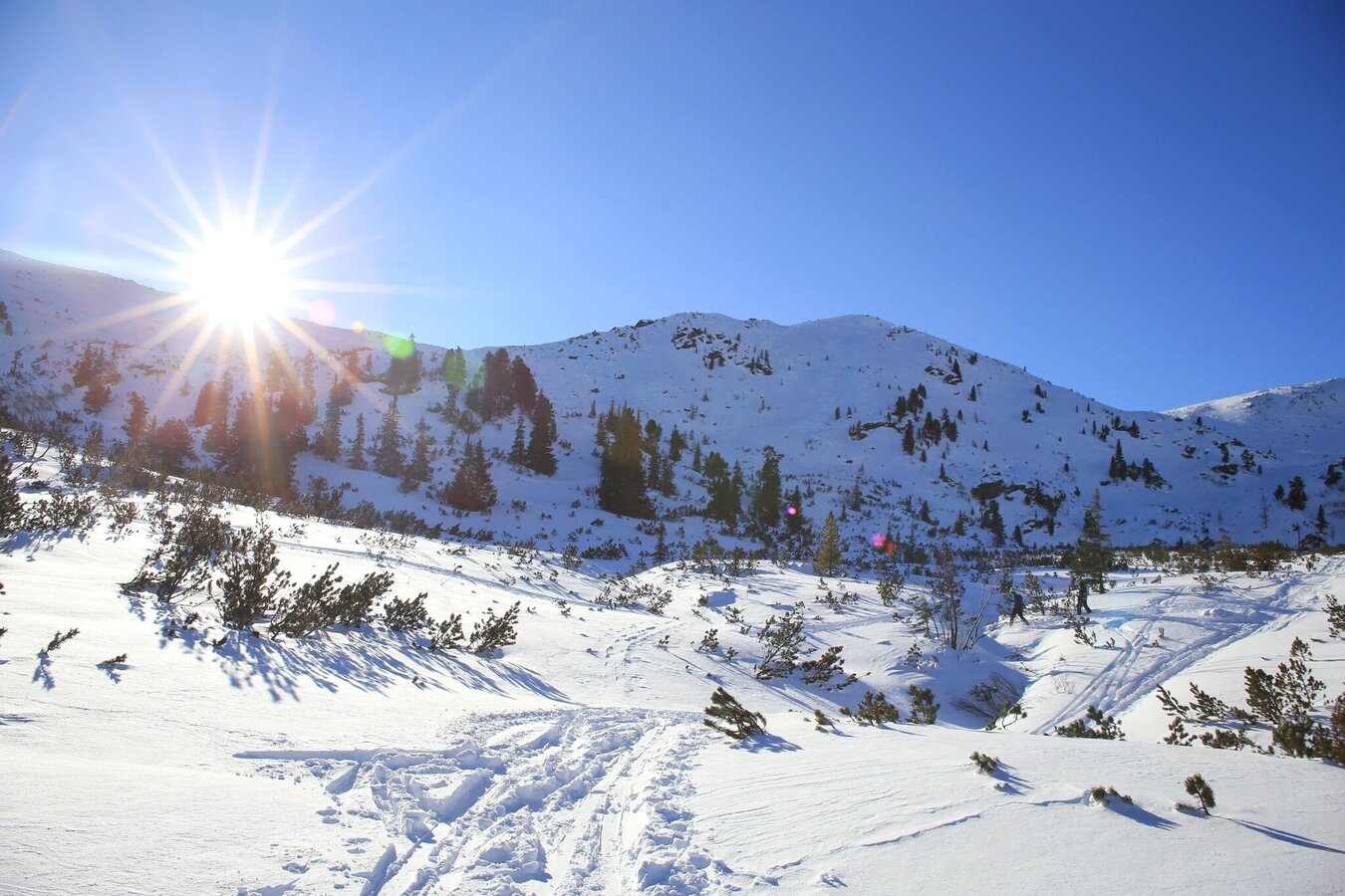
You start on the right side of the Kinderland and walk along the marked trail to a small hut, after which you turn right again and walk uphill to a small wooded area. Once there, a view into the Plannerkessel opens up to you. Continue over snow-covered mountain pines and after about 20 minutes you will reach the snow-covered Kothüttensee, embedded below the Jochspitze. CONTENTS here and enjoy the breathtaking high plateau before you make your way back.
Turn off the Ennstalbundesstraße (B320) at the crossing Trautenfels in direction Irdning, Donnersbach, Donnersbachwald. In Donnersbach after the center of the village turn left towards Planneralm. 12 km long driveway over the toll-free mountain road up to the Planneralm.Parking at the large car park on the Planneralm.
Planneralm ski bus:
Until 15.12.2024 only on weekends
From 21.12.2024 until 20.04.2025 daily
Information at: www.myplanneralm.at
Until 15.12.2024 only on weekends
From 21.12.2024 until 20.04.2025 daily
Information at: www.myplanneralm.at
- Always important: snowshoes, winter mountain boots or sturdy mountain boots as well as telescopic poles with snow plates
- In addition to food and warm drinks, pack spare clothing and a first aid kit in your backpack
- Choose your clothing according to the onion layer system
- An avalanche transceiver, probe and shovel are, as in ski touring, required in alpine terrain
- Use a backpack to which you can attach your snowshoes
- You should also pack maps and/or tour descriptions. GPX tracks on your cell phone or GPS device will also help you
- Rental of snowshoes, poles and safety equipment at Sport Scherz and Sport Schöttl
A short ascent to the Goldbachscharte rewards you with an incomparable view of the Niedere Tauern.
Tourist information: www.schladming-dachstein.at
Schladming-Dachstein Tourist Office
Ramsauerstraße 756
8970 Schladming
T: +43 3687 23310
info@schladming-dachstein.at
Rental possibilities:
Sport Scherz:
Planneralm, T +43 3683 8182
Riesneralm, T +43 3680 350
Bargain shop Scherz in Wörschach, T +43 3682 22383 sport-scherz.at
Sport Schöttl
Planneralm, T +43 3683 8107
Irdning, T +43 3682 22952 sport.schoettl.at
Schladming-Dachstein OST winter adventure map, available from the information offices in the region.


