Gröbminger Land
Obertauern Tour
Theme road
Data:

copyright: Oliver ZWANZGER
copyright: Oliver Zwanzger
copyright: Oliver Zwanzger
copyright: Oliver ZWANZGER
copyright: Oliver ZWANZGER
copyright: Oliver ZWANZGER
Tour description
The rivers Enns and Mur have one thing in common. Both spring from the same mountain range. The Upper Ennstal and the Upper Murtal, both running from west to east, almost parallel to each other, separated only by the primary rock heights of the Niederen Tauern, have always had a certain affinity. Historical places line these traces of the ENNSTAL CLASSIC above the Radstädter Tauern, through the Lungau,
The tour
easy
Starting and end point
Centre of Gröbming
Tour characteristics
Information
Distance: 164.9 km
Duration:
3 h
Ascent: 2838 m
Descent: 2838 m
highest point: 1795 m
Best season
Jan
Feb
Mar
Apr
May
Jun
Jul
Aug
Sep
Oct
Nov
Dec
Map, elevation profile & further information
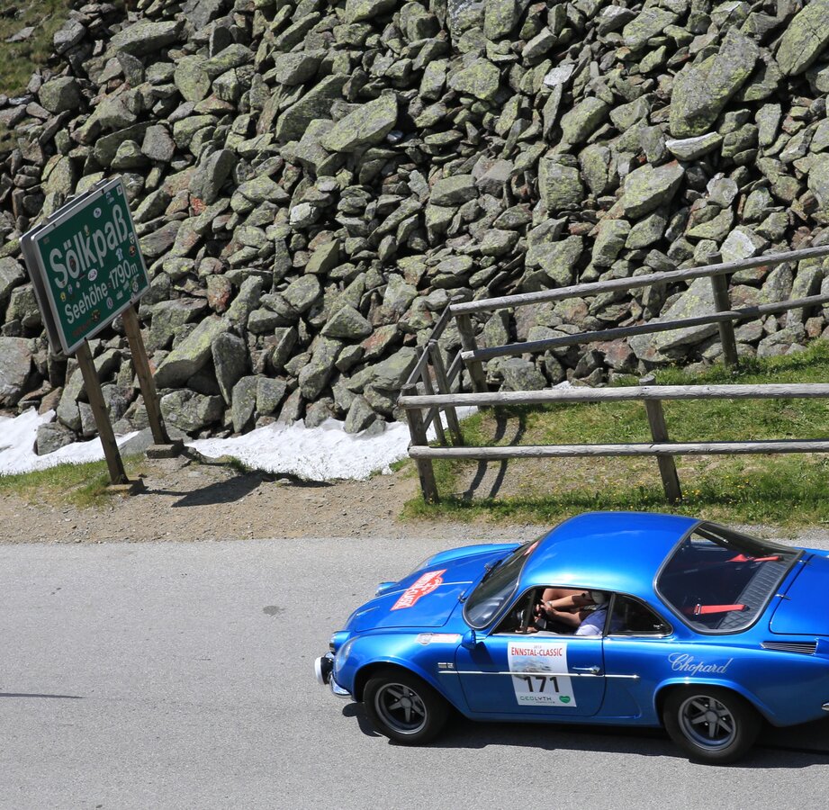
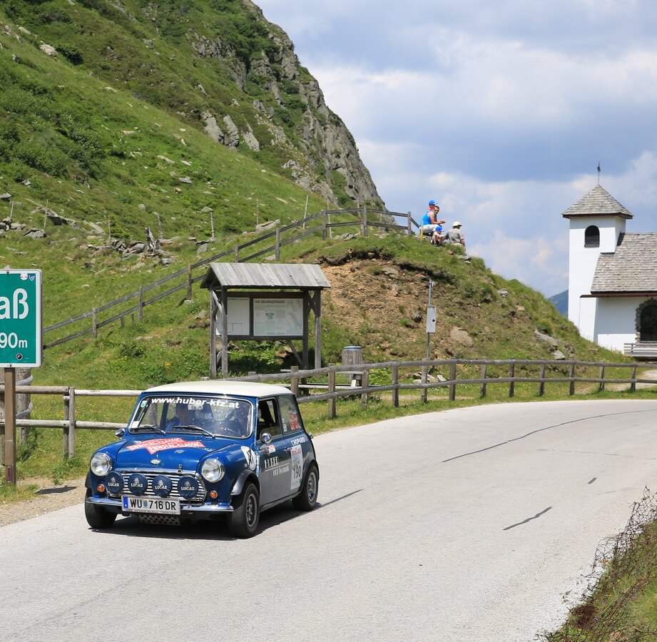
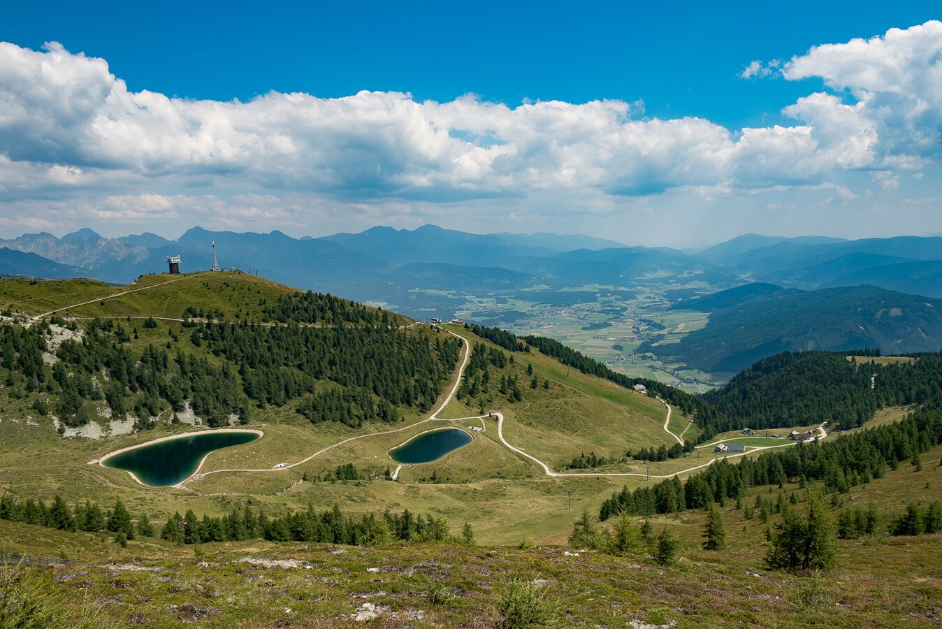
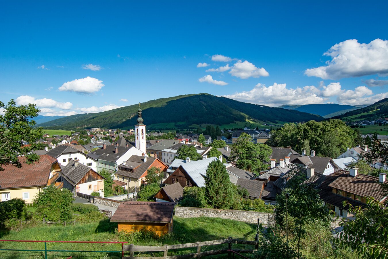
The "Obertauern TOUR" leads from the starting point in Gröbming down to the river Enns to Moosheim - Stein an der Enns - Großsölk - Sölkpass (1.788m) - Schröder- turn right onto the B 96 - Tratten - Seebach - keep right on the L521 Krakau - Krakauhintermühlen - Prebersee - Heiden - Tamsweg - again on the B 96 to Mauterndorf - turn right on the B 99 to Tweng - Obertauern - Radstätter Tauern down to Radstadt and back to the starting point Gröbming.
The provisions of the Austrian Road Traffic Regulations apply to the entire route.
Compliance with the road traffic regulations and all other statutory provisions shall have absolute priority at all times.
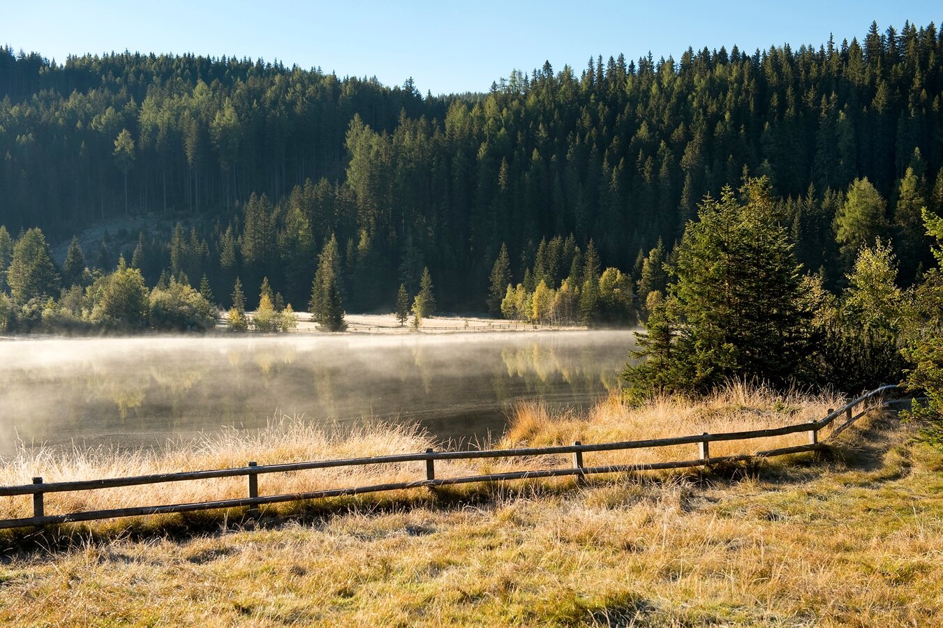
- Prebersee


