Gröbminger Land
Hohentauern Tour
Theme road
Data:

copyright: © Markus Beren
Tour description
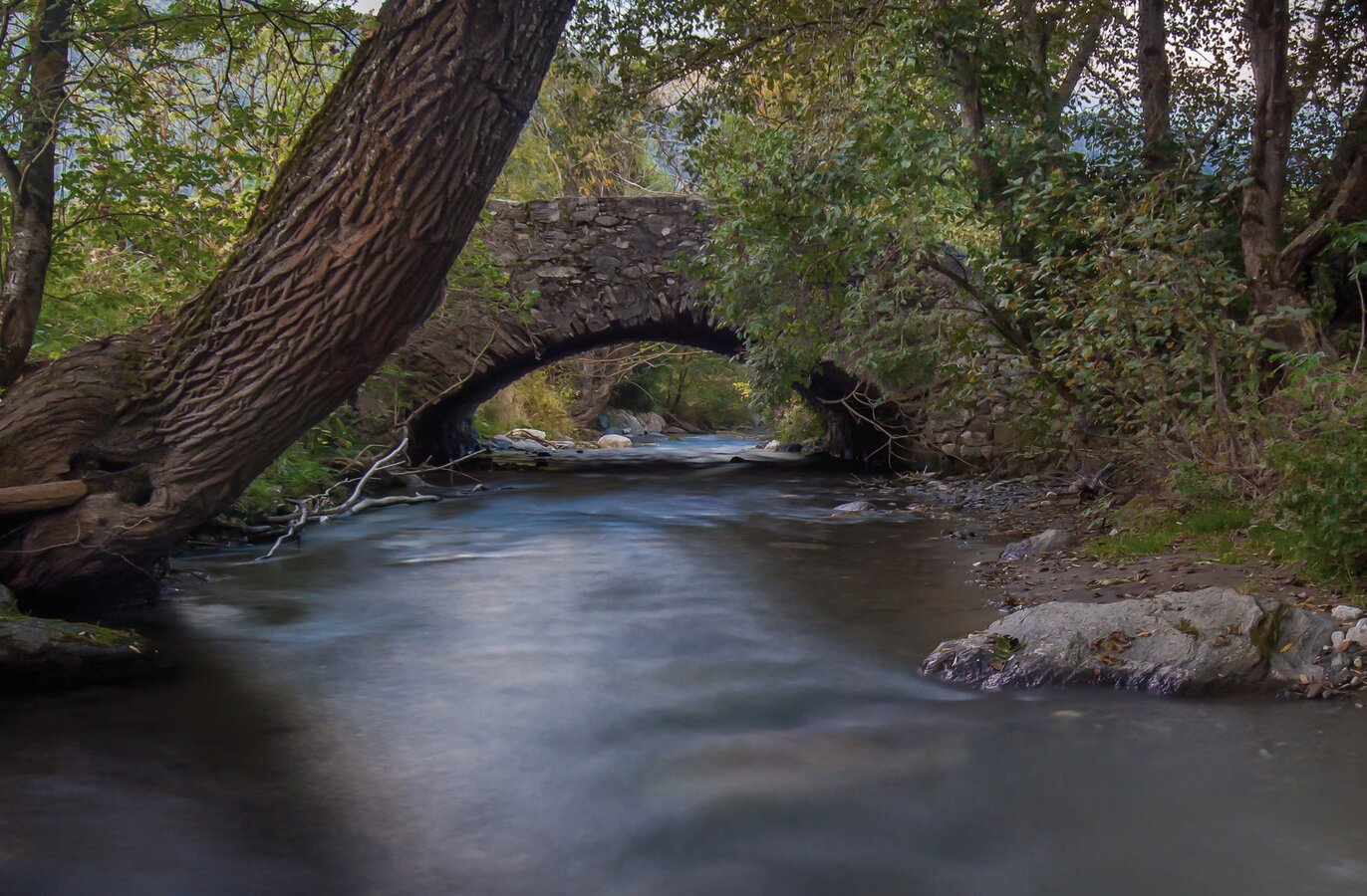
The rivers Enns and Mur have one thing in common. Both originate from the same mountain range. The Upper Ennstal and the Upper Murtal, both running from west to east, almost parallel to each other, separated only by the primary rock heights of the Niederen Tauern, have always had a certain affinity. These traces of the ENNSTAL CLASSIC on the Steirische Holzstraße and above the Triebener Tauern are lined with places steeped in history.
The tour
easy
Starting and end point
Centre of Gröbming
Tour characteristics
Information
Distance: 178.4 km
Duration:
3 h 30 min
Ascent: 3338 m
Descent: 3338 m
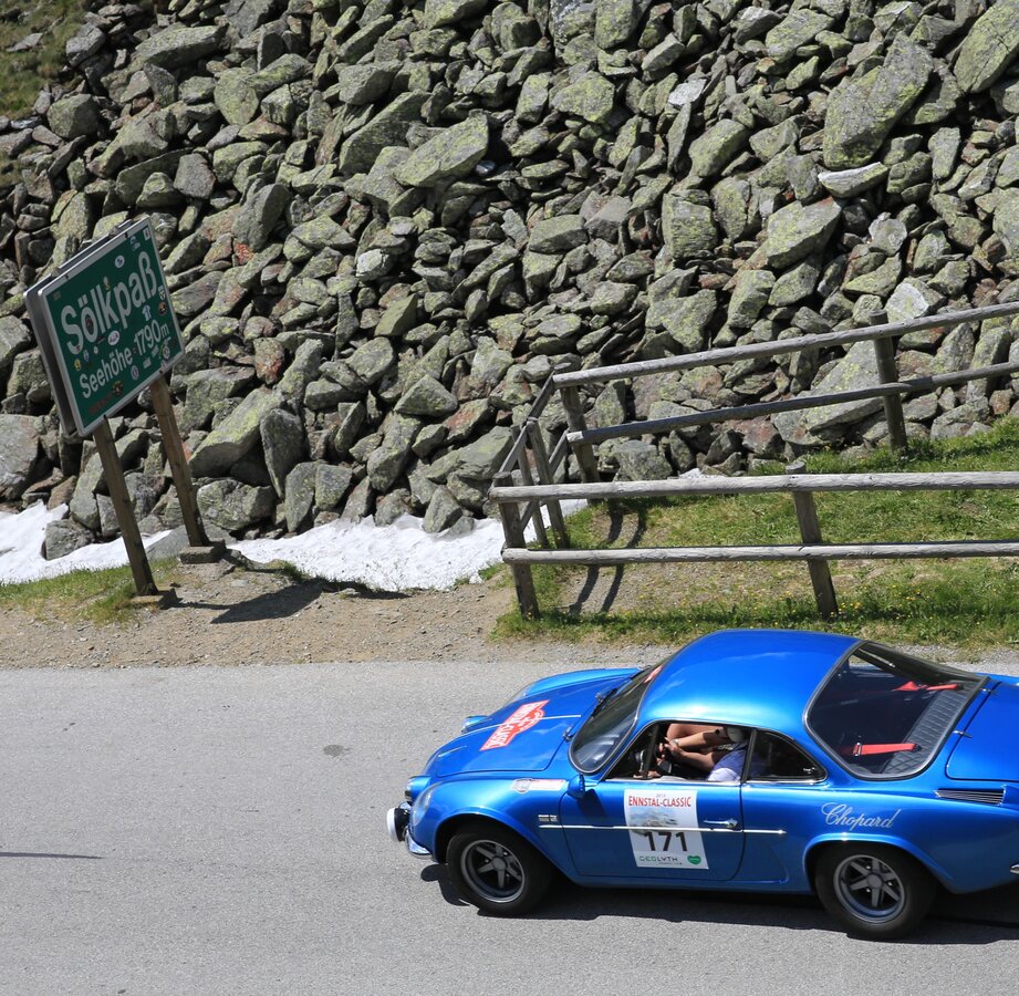
highest point: 1795 m
Best season
Jan
Feb
Mar
Apr
May
Jun
Jul
Aug
Sep
Oct
Nov
Dec
Map, elevation profile & further information
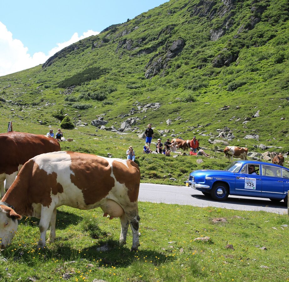
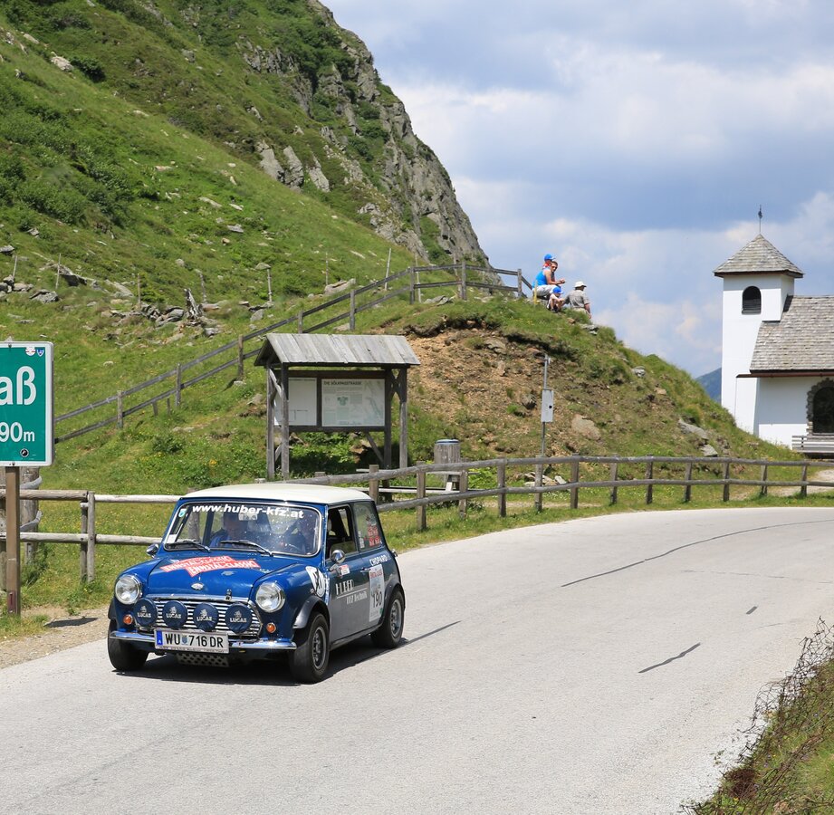
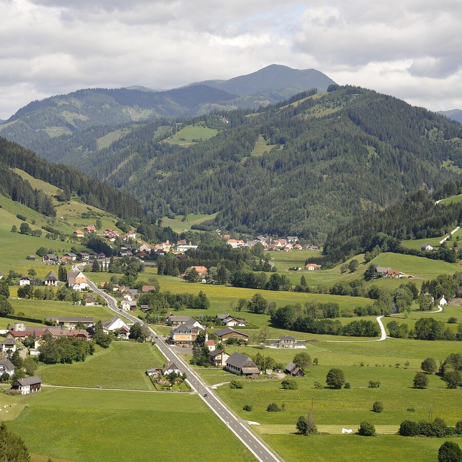
The Hohentauern Round takes you from Gröbming on the L 712 via Moosheim and Stein an der Enns to Aigen in the Ennstal. Then turn off to Oppenberg - Strechau - Trieben - Hohen Tauern - Oberzeiring (L514) - Gellsee - Schönberg Lachtal - St. Peter am Kammersberg - Schöder - Sölkpass - St. Nikolei - Stein an der Enns - Gröbming.
The provisions of the Austrian Road Traffic Regulations apply to the entire route.
Compliance with the road traffic regulations and all other statutory provisions shall have absolute priority at all times.
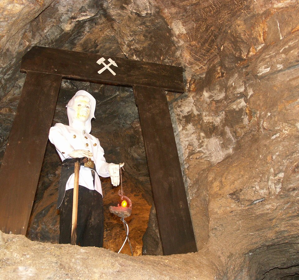
- Oppenberg
- Burg Strechau - Automobile museum


