Grimming-Donnersbachtal
Winter hike to the Grimminghütte
Winter walking
Data:

Tour description
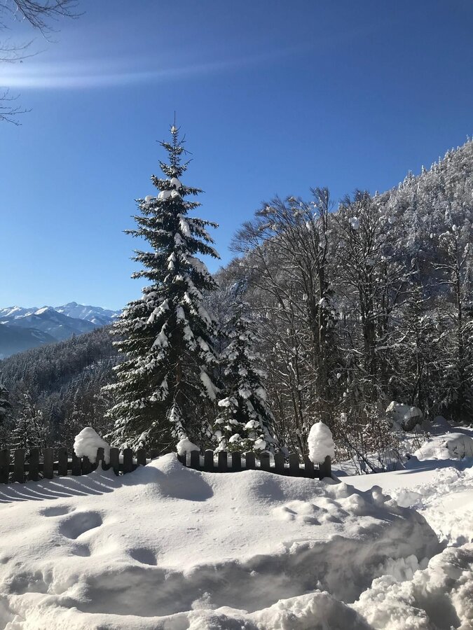
A fine winter hike for the whole family. Most of the trail is slightly uphill and also offers some nice viewpoints to rest and take pictures. Those interested in history can take a short detour to the Neuhaus church ruins (1575) after a few minutes' walk.
Along this hike you will find the Natur.Kraft.Plätze. ‘Neuhaus church ruins’ and “Trautenfels Castle”. You can find more information at www.schladming-dachstein.at/naturkraftplaetze
The tour
easy
tour.detail.accessible-by-public-transport
Starting and end point
Castle Trautenfels
Tour characteristics
Fitness (2/6)
Information
Distance: 6.2 km
Duration:
2 h 15 min
Ascent: 330 m
Descent: 330 m
highest point: 971 m
Best season
Jan
Feb
Mar
Apr
May
Jun
Jul
Aug
Sep
Oct
Nov
Dec
Map, elevation profile & further information
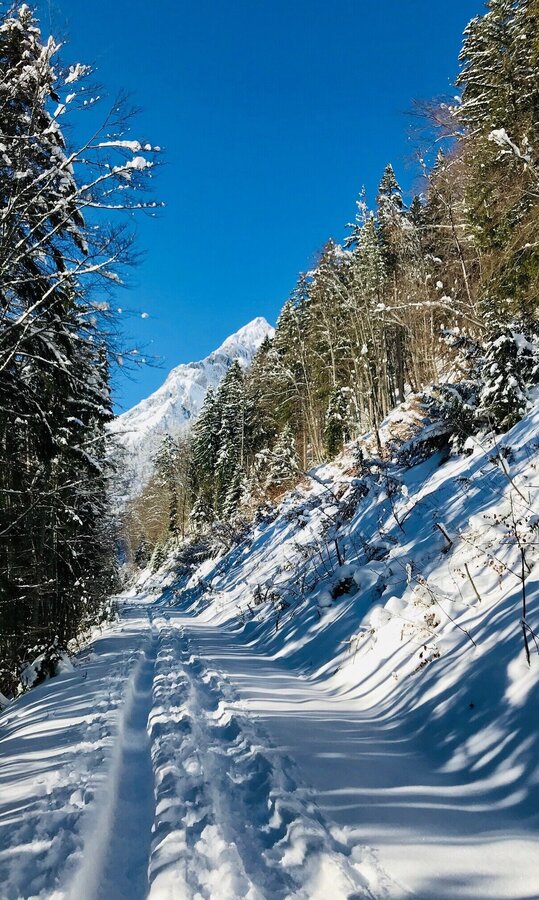
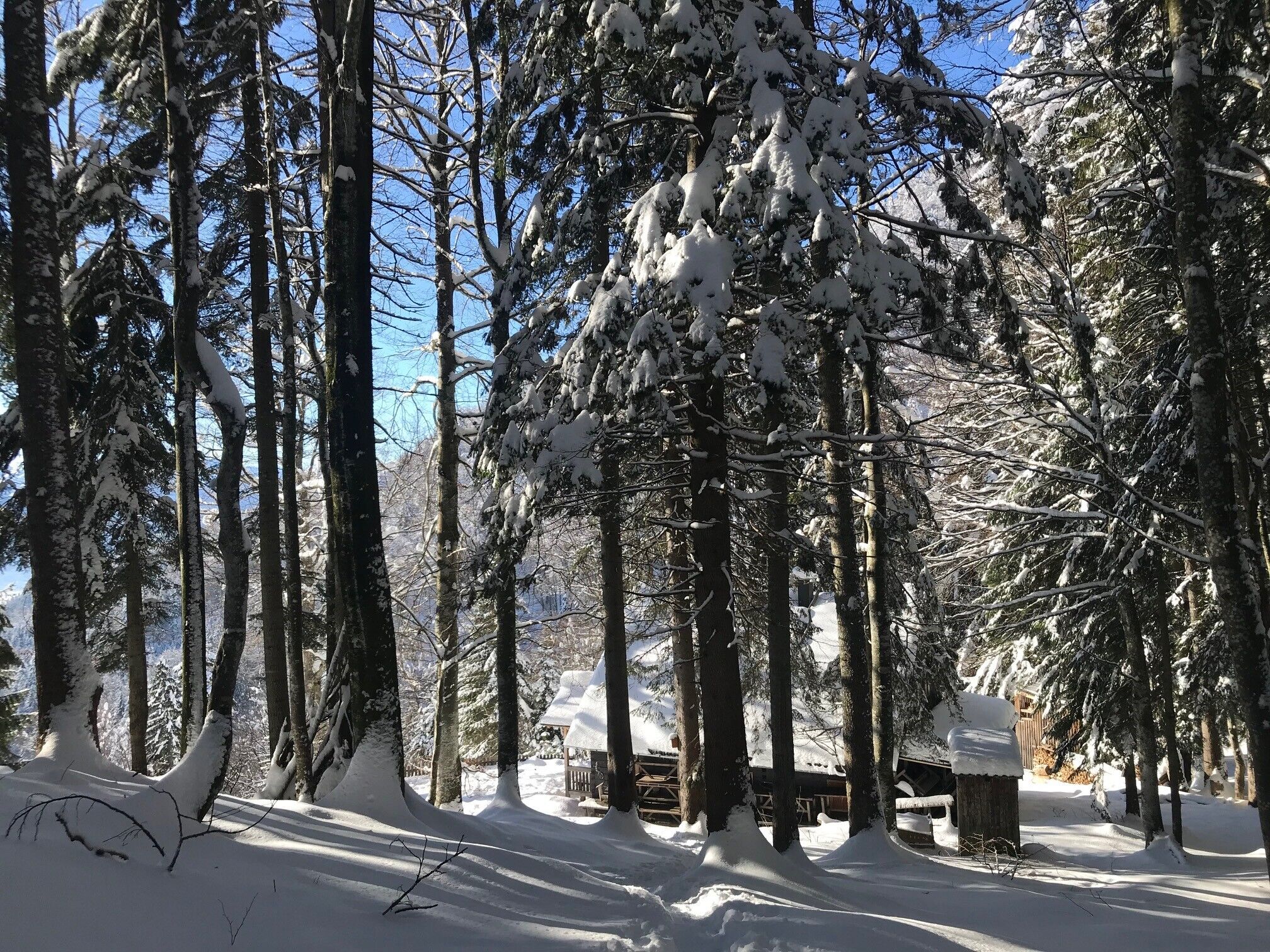
Shortly after the start you cross a bridge (below you the Ennstal federal road) and pass the Moarhof - the organic farm and the headquarters of the organic institute of the HBLFA Raumberg-Gumpenstein. You follow the path and after a comfortable hour on meadow and forest paths you reach the Grimminghütte. You will certainly find a place to take a breather, even if only in front of the hut, as the hosts are in the valley in winter and the hut is closed.
Coming from Schladming or Liezen, turn off the B320 at Trautenfels and take the road up to the castle in Trautenfels.A free parking lot is located below Trautenfels Castle.
Take the bus 940/941 to the stop "Schloss Trautenfels" Bus timetable: www.verbundlinie.at
The closest train station "Stainach-Irdning" is about 3 kilometers away in Stainach.Train timetable: www.oebb.at
In winter, caution is advised even on seemingly easy hikes. In shady areas, the ground can be slightly icy, and there may be avalanche danger below slopes. Mountaineering is therefore primarily a matter of personal responsibility – even more so in winter. Tourist associations and avalanche warning services assume no liability whatsoever based on the information provided.
Your equipment should ideally include:
Your equipment should ideally include:
- Ankle-high, warm shoes. Waterproof, warm shoes with a treaded sole are ideal. Optional: Gaiters for additional snow protection.
- A hood and warm clothing, ideally layered. Don't forget a change of clothes for longer winter hikes: a wind and waterproof jacket and trousers.
- A small backpack with a warm drink in a thermos and snacks as needed
- Sun protection
- Cell phone
- First aid kit
- Optional: crampons/snow spikes (snow chains for shoes), telescopic hiking poles for better grip and balance.
If you want to go even further up the Tressenstein, then it's best to pack snowshoes and poles!SCHLADMING-DACHSTEIN Winter Adventure Map East


