Winter Hiking Path to Walchental
Tour description
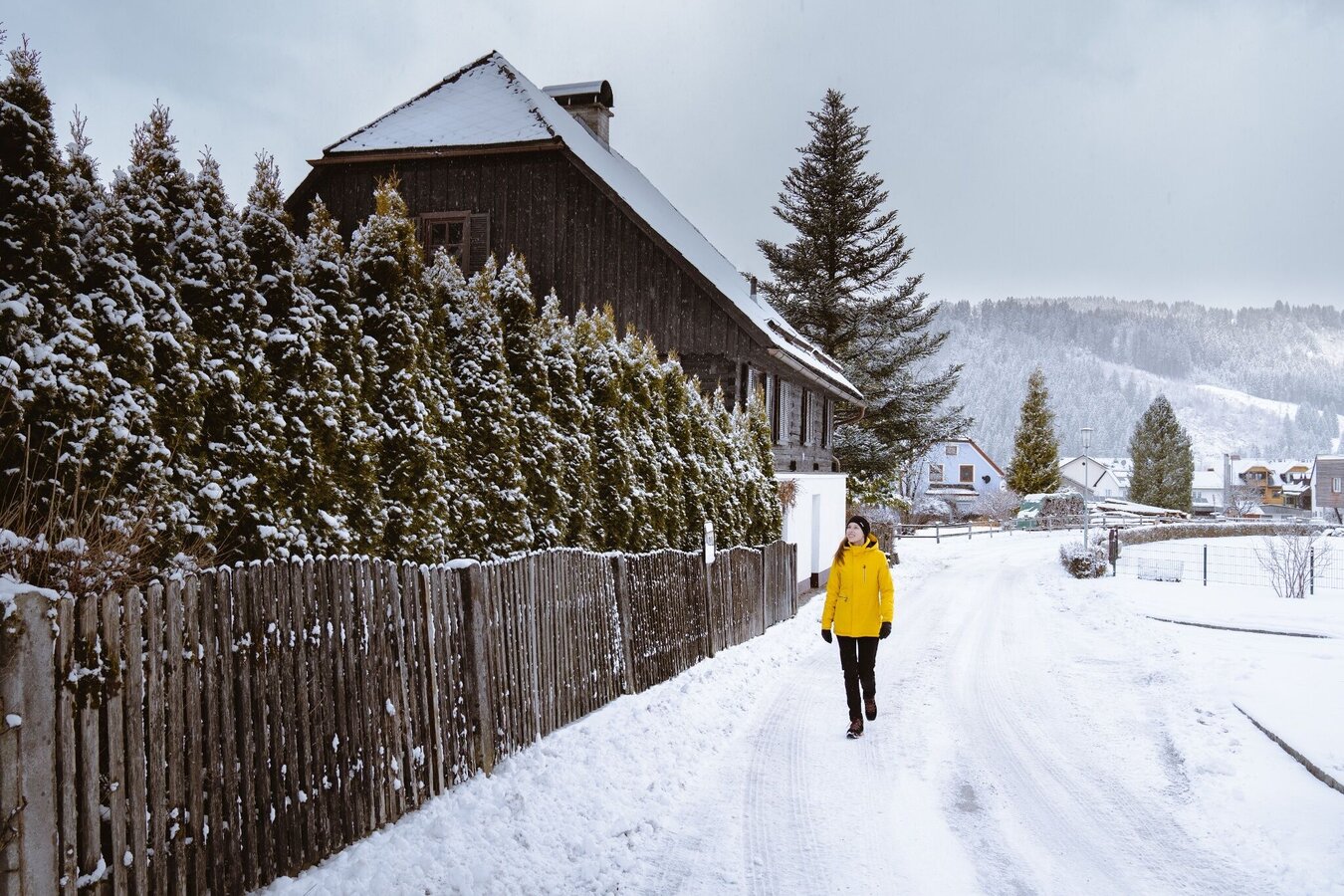
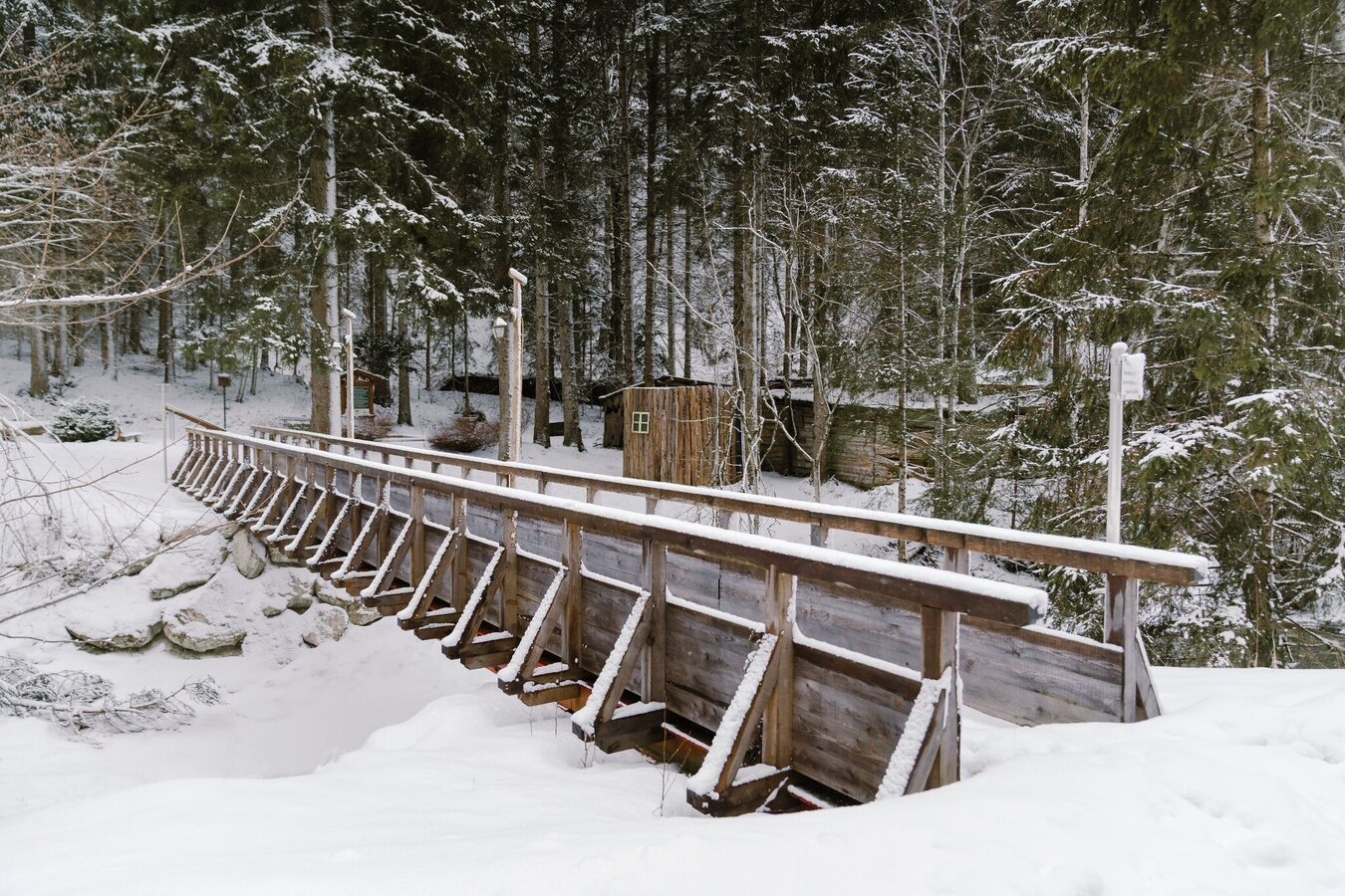
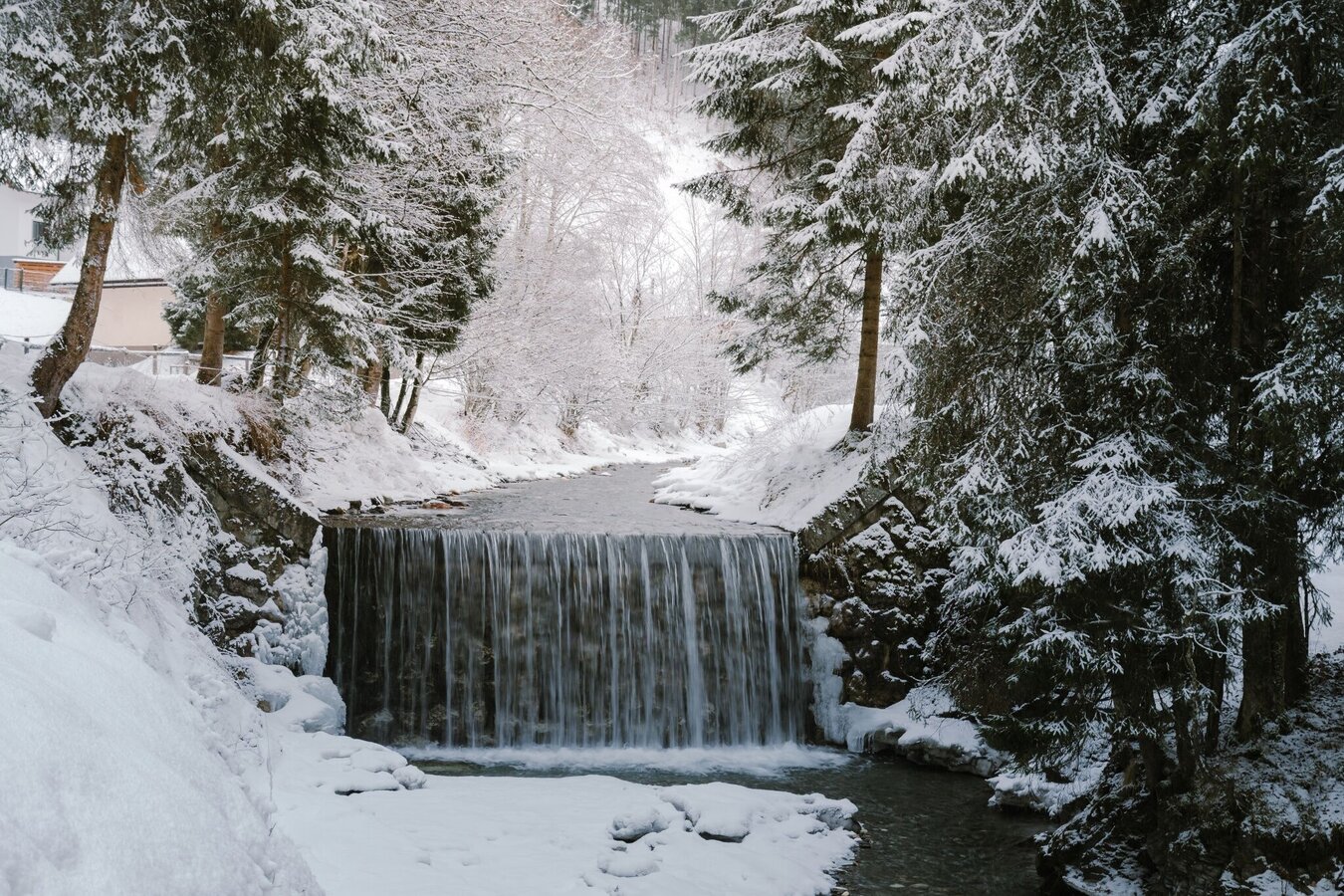
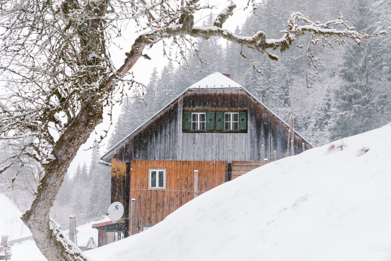
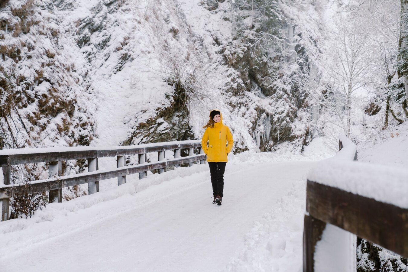
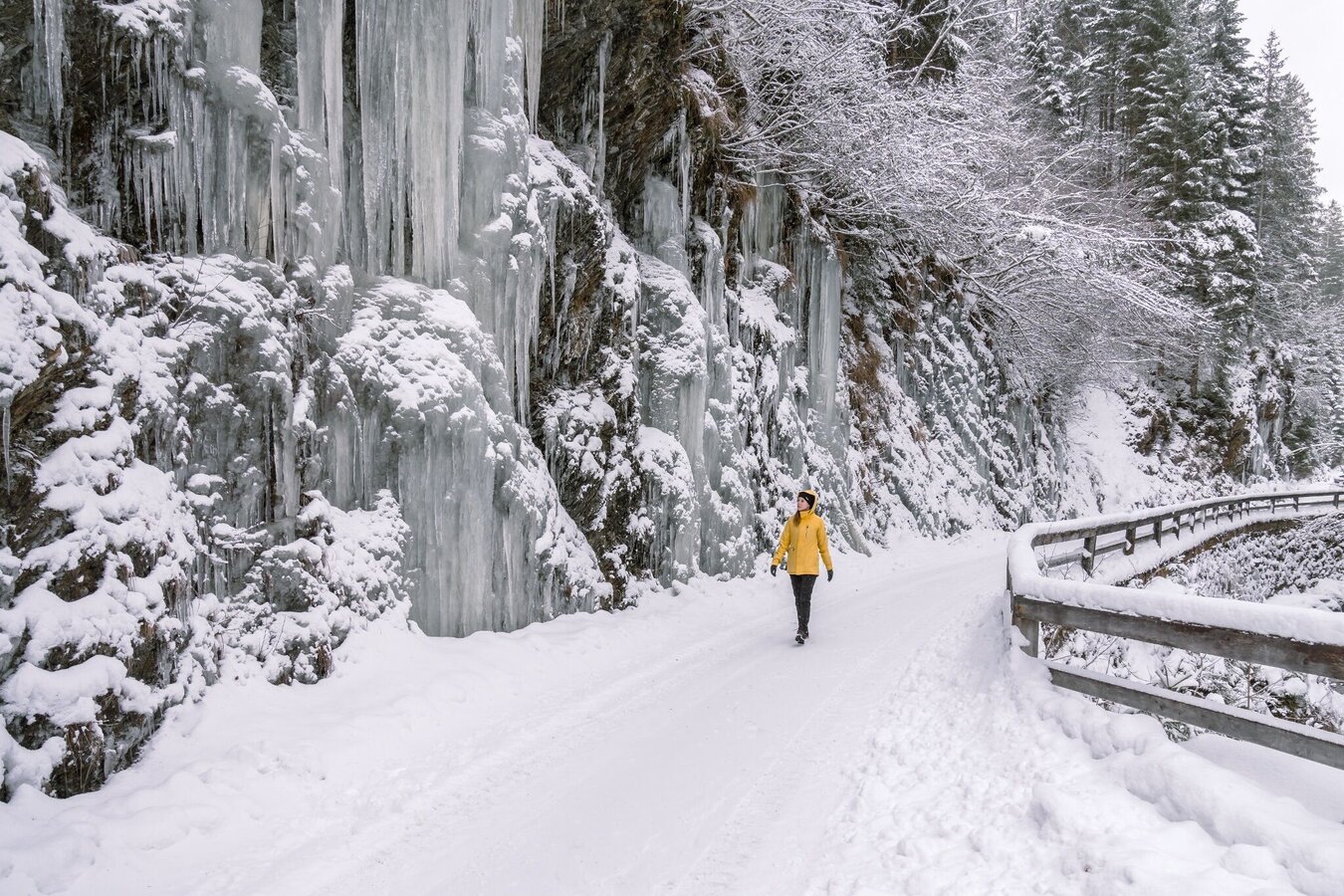
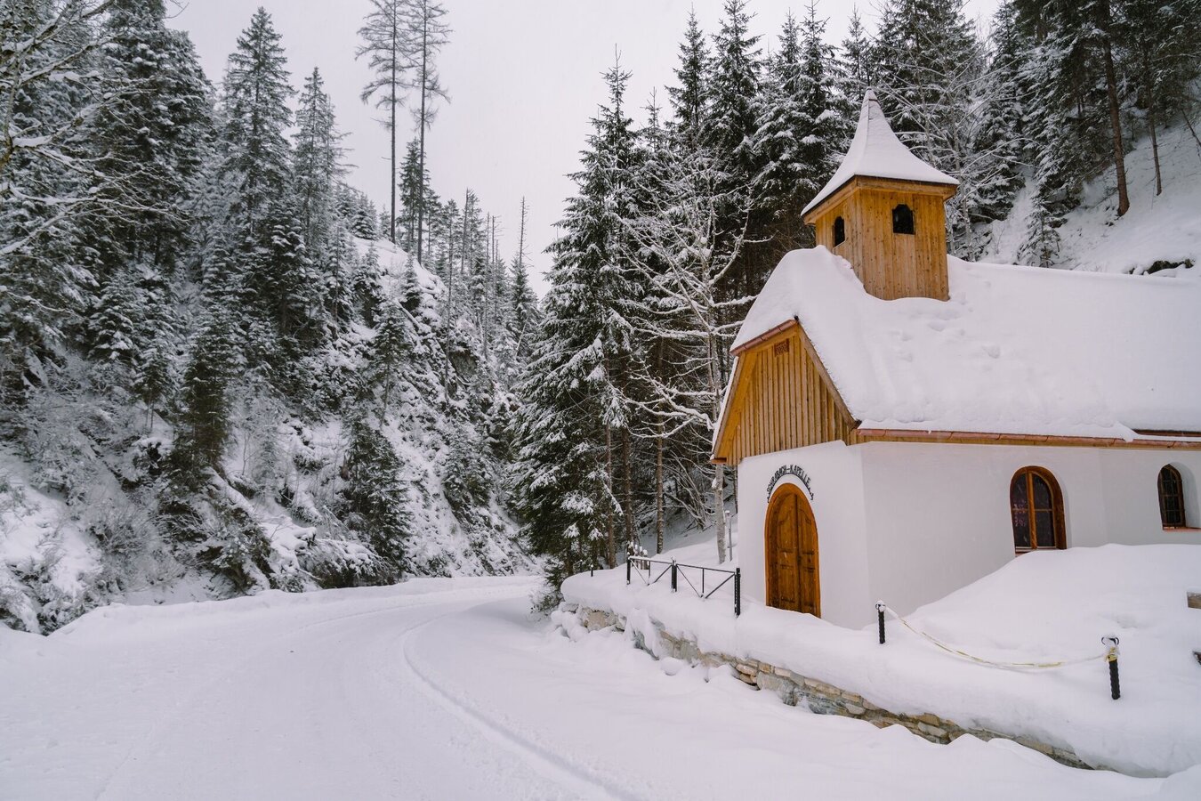
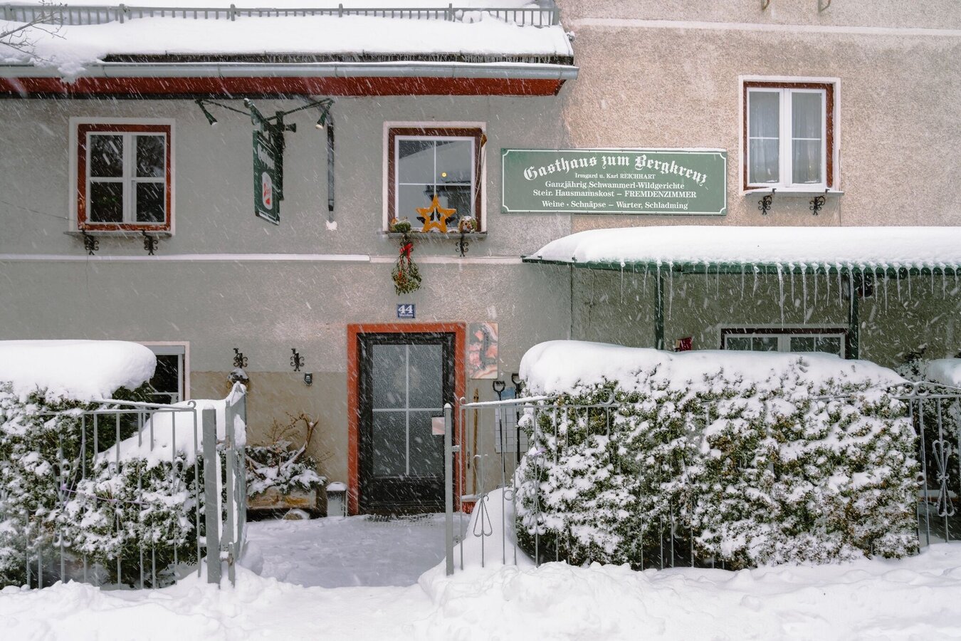
From the historic center of Öblarn you hike into the idyllic and quiet Walchental. Along the Walchen river there are always beautiful views of the stream landscape and in some places impressive ice formations hang from the rocks on both sides of the valley. At the Gasthaus zum Bergkreuz you really deserve a stop.
The tour
Map, elevation profile & further information
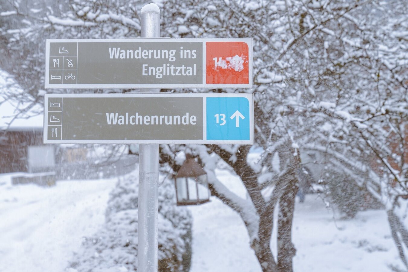
After leaving the town of Öblarn, follow signs for “Gasthof Zum Bergkreuz”.Follow the same route back.
From the West: By car on the B320 Ennstal federal road near Sankt Martin, turn towards Öblarn and continue to Öblarn.
From the east: By car on the B320 Ennstal federal road near Espang, turn towards Öblarn and continue to Öblarn.
In Öblarn: Follow the signs to the "Freizeithalle"
Parking possibility at the Freizeithalle Öblarn.
Öblarn can be reached with the regional trains of the Austrian Federal Railways (ÖBB).
Your equipment should ideally include:
- Ankle-high, warm shoes. Waterproof, warm shoes with a treaded sole are ideal. Optional: Gaiters for additional snow protection.
- A hood and warm clothing, ideally layered. Don't forget a change of clothes for longer winter hikes: a wind and waterproof jacket and trousers.
- A small backpack with a warm drink in a thermos and snacks as needed
- Sun protection
- Cell phone
- First aid kit
- Optional: crampons/snow spikes (snow chains for shoes), telescopic hiking poles for better grip and balance.
Winter map Schladming-Dachstein "MITTE", available at the tourist offices in the Schladming-Dachstein region.


