Sun XC Trail
Tour description
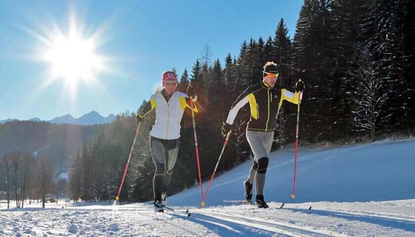
A sunny affair through the districts of Ramsau-Ort, Schildlehen, Rössing and Kulm with numerous refreshment stops and wonderful landscape impressions of the Ramsau plateau and a view of the Schladminger Tauern.
The tour
Map, elevation profile & further information
The trail runs along the following junctions:
Stadium - Kreitseiler - Helpferer - Rittisberg - Walcherhof - Grahstadl - Knoll - Simonbauer - Mühle - Rupmoos - Billa - Waldschenke - Stadium
From the west:
Take the A10 to Knoten Ennstal - take the exit towards Graz/Schladming. Drive along the Ennstal-Bundesstraße for approx. 20 km until you reach Schladming. Take the turn-off for Ramsau. Continue to the village of Ramsau where the XC-stadium is located.
From the East/North:
Take the Pyhrnautobahn direction Liezen. Then follow the Ennstalbundesstraße to Schladming. Take the turn-off for Ramsau. Continue to the village of Ramsau where the XC-stadium is located.
Parking available at the "Ramsau Zentrum" next to the stadium.With the buses of the Ramsau transport company from Schladming (also from the train station) to Ramsau-Ort.
Ramsauer Verkehrsbetriebe Timetable www.rvb.at
This is the sunniest trail on the plateau.
XC map Ramsau am Dachstein


