Grimming-Donnersbachtal
Summit-Barefoot-Path Riesneralm
Hiking trail
Data:
Tour description
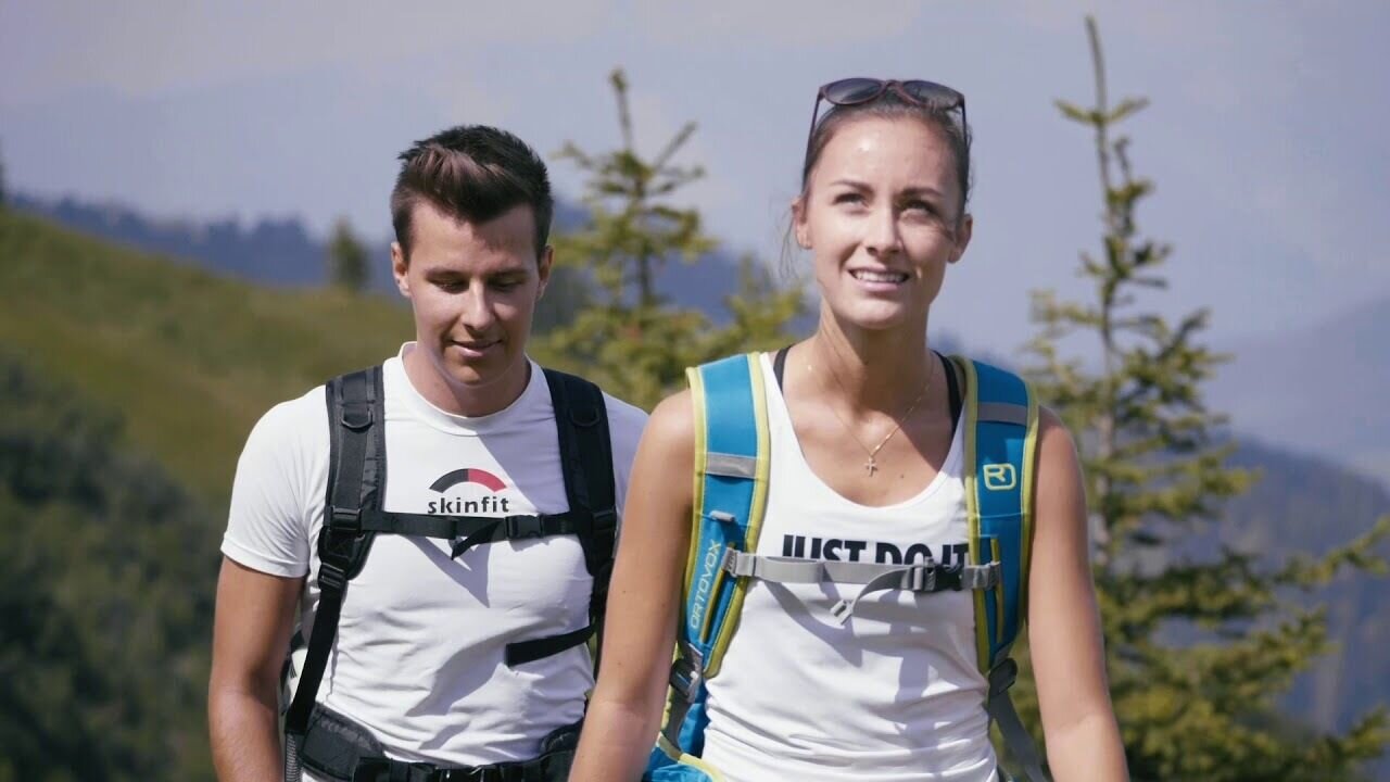
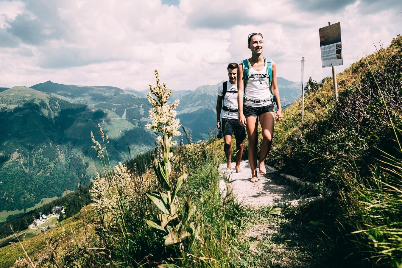
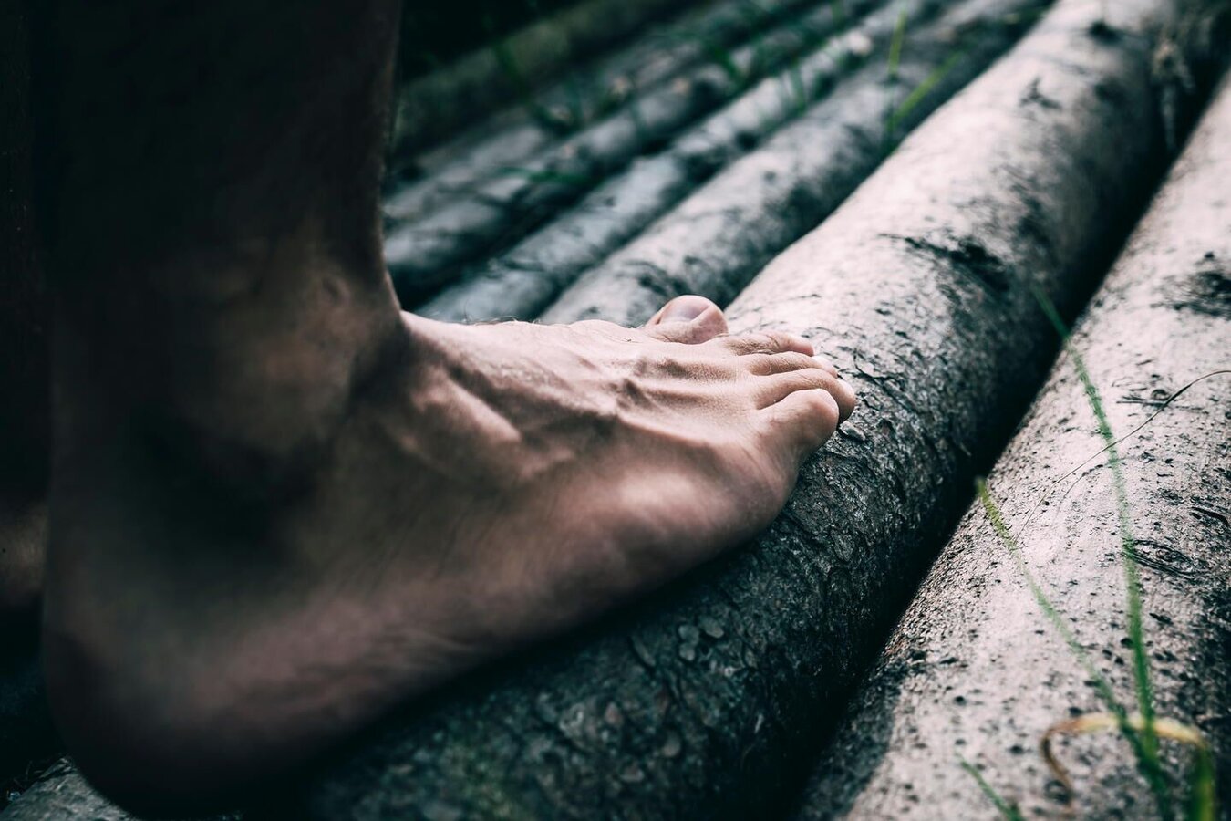
During this hike over a length of 700 m you can feel the mountain with your feet and enjoy a wonderful foot reflex massage. Spruce cones, wood chips, bark mulch, mud and earth hollows, stone types from granite slabs to torrent boulders, wood in all variations or the natural alpine pasture soil - everything is integrated. The trail leads from the HochSEEsitz in flat serpentines with a total of 19 stations directly to the summit of the Riesnerkrispen at 1,922 m.
The tour
easy
tour.detail.accessible-by-public-transport
Starting point
Hochsitz Riesneralm - Donnersbachwald
Destination
Riesner Krispen
Tour characteristics
Information
Distance: 0.74 km
Duration:
25 min
Ascent: 127 m
Descent: 25 m
highest point: 1922 m
Best season
Jan
Feb
Mar
Apr
May
Jun
Jul
Aug
Sep
Oct
Nov
Dec
Map, elevation profile & further information
From the Riesneralm valley station, 2 chairlifts take you up to the Hochsitz. From there the path leads in flat serpentines directly to the summit cross of the Riesnerkrispen at 1922 m and has a length of about 700 meters.
Coming from the B320, at the Trautenfels intersection in the direction of Irdning. Then direction Donnersbach, Donnersbachwald to the valley station Riesneralm.
Comfortably float with the help of two chairlifts in 20 minutes to the top station.
Free of charge directly at the Riesneralm valley station.
Take the bus to the Donnersbachwald bus stop (village center). Nearby is the valley station Riesneralm, where the chairlift takes you comfortably up the mountain. No Busconections during summerholidays!
- Let others know where you are going.
- Turn back in good time if the weather deteriorates. If you get caught in a thunderstorm, stay away from individual trees. Wait out the storm, if possible in a crouching position.
- Stay on marked trails and remember to close pasture fences.In case of emergency, keep calm and call the mountain rescue on 140. If you have no reception, take out the sim card and dial 112.
- If you encounter cows: It is best to pass above the herd with at least 50 meters distance. Stay calm, don't make any frantic movements and don't run away. Do not imitate cow sounds and do not try to pet the animals. A stick and loud shouting can often make the animals turn back in an emergency.
- If you are a dog owner: Clarify before the hike if you have to cross a pasture. Keep your dog on a leash and make sure he stays calm. If a cow attacks, let the dog off the leash immediately. Never pick him up to defend him.
On hot summer days cool off in the summit pool.Tourism information: www.schladming-dachstein.at
Tourist Office Schladming-Dachstein
Ramsauerstrasse 756
8970 Schladming
T: +43 3687 23310
info@schladming-dachstein.at
- SCHLADMING-DACHSTEIN Hiking EAST.
- SCHLADMING-DACHSTEIN Hiking Map (1:50.000)
- KOMPASS Hiking Map 68, Ausseerland-Ennstal 1:50.000, hiking, biking, ski touring


