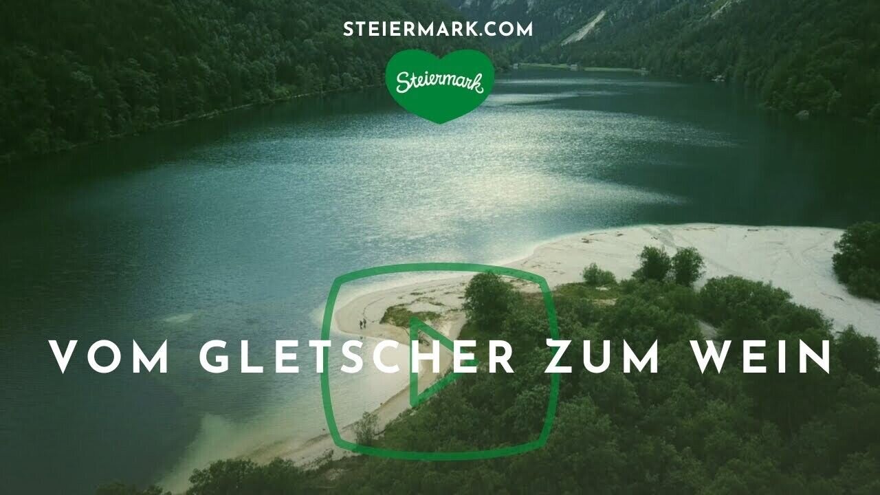
Stage 07 From Glacier to Wine North Route Wörschach - Lassing

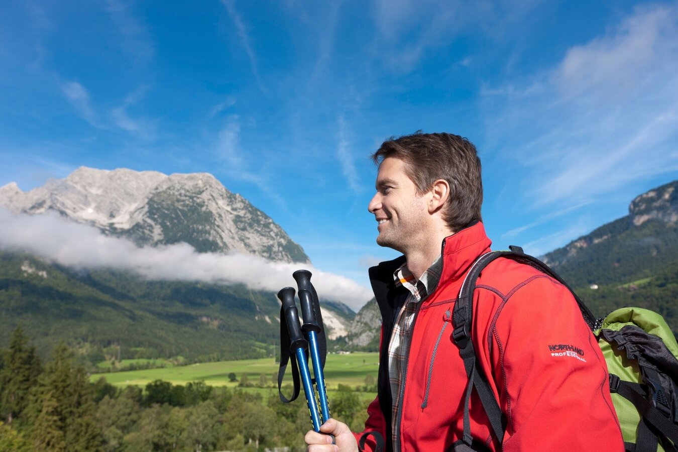

Tour description
The tour
Map, elevation profile & further information
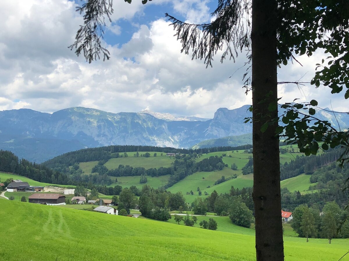
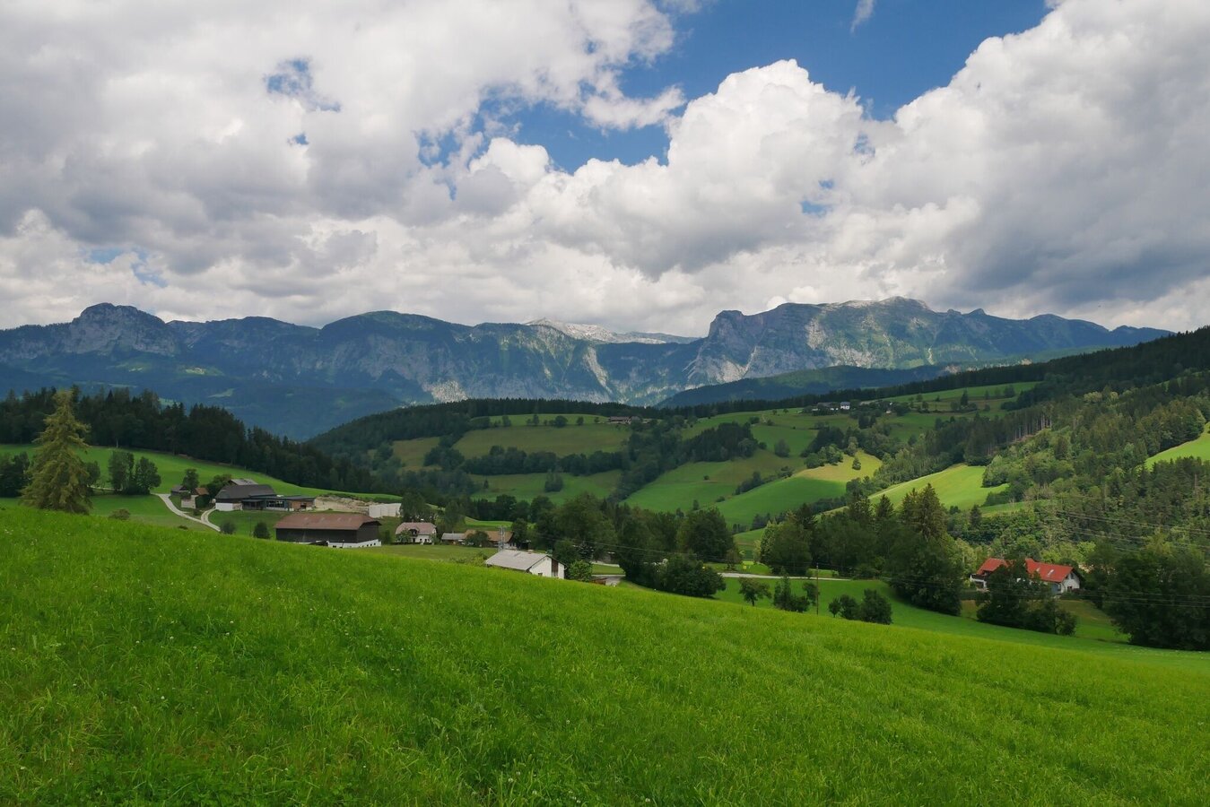
From the small idyllically situated village of Wörschach we walk under the main road, turn left and come across the Auweg to the sports field, where we turn left again and then keep right. This way we reach the Enns and the Wörschacher Moos, a Natura 2000 Europe protected area. On this first section the path is also partly identical with the well-known Ennsradweg, which leads from Flachau to Enns. Well developed, it offers cyclists and hikers enough space. Just before the small village of Döllach we leave the Enns and keep to the right to enter the high valley of Lassing. The village of Lassing, which is separated from the Enns valley by the Mitterberg, is far away from the noise of the streets and the hustle and bustle.
This section of the hiking route "From Glacier to Wine" is also identical to the Hemma Pilgrimage Trail, which leads from Admont to Gurk in the footsteps of St. Hemma. With a view of the Mitterberg to the north and the summit of the Hohen Trett to the south, we soon reach the village of Lassing, which is idyllically embedded in the landscape (Tourist Information Tel. +43 664 4122860). Please note that there are only a few accommodations in Lassing and that they are often very booked during the high season between mid-June and mid-September. Therefore, a room booking in advance is recommended!
Detaillierte informationen zur Anreise finde Sie hier.
There are numerous parking spaces available in Wörschach.Accessible by train and bus.
Detailed information about arriving by ÖBB (Austrian Federal Railways) can be found at www.oebb.at or on the Verbundlinie Steiermark website www.busbahnbim.at
With Verbundlinie’s BusBahnBim route planner app, planning your journey has never been easier: simply enter towns and/or addresses, stop names or points of interest to check all bus, train and tram connections in Austria. The app is available free of charge for smartphones – on Google Play and in the App Store
Emergency call mountain rescue: 140
Tips when reporting an emergency – Answer these six WH questions: What happened? How many people are injured? Where did the accident happen (are there GPS coordinates)? Who is reporting the incident (callback number)? When did the accident happen? What is the weather like at the site of the incident?
Proper backpack packing makes many things easier: Pack heavy things first. The water bottle should always be within reach in a side pocket. All the things that are often needed, such as sunglasses, camera or hiking map, belong on top. An emergency kit, including blister plasters, belongs in every rucksack and it is always advisable to dress in layers.Steiermark Tourismus
Tel. +43 316 4003
If you would like to hire a tour operator, simply book with Steiermark Touristik, the official travel agency of Steiermark Tourismus:
Tel. +43 316 4003 450,
The Steiermark Touren app, available free of charge on Google Play and the App Store (Android, iOS), offers detailed first-hand information: brief facts (length, duration, difficulty, ascent and descent/elevation gain, ratings), map, route descriptions, altimeter, compass, peak finder, navigation along the tour. You can also create your own personal lists of favourite tours and sites, store tours and destinations offline, use social media channels, and much more.
Gratis Pocket Card Wanderroute "Vom Gletscher zum Wein" finden Sie auf www.steiermark.com
Wanderkarte Schladming-Dachstein, 1:50.000 www.schladming-dachstein.at
Kompass WK 68 Ausseerland, Ennstal, Tauplitz www.kompass.at
Freytag & Berndt WK082 Bad Aussee · Totes Gebirge · Bad Mitterndorf · Tauplitz www.freytagberndt.at
Rother Wanderführer "Vom Gletscher zum Wein": auf 160 Seiten mit 80 Farbabbildungen 60 Höhenprofile, 60 Wanderkärtchen im Maßstab 1:75.000, zwei Übersichtskarten, GPS-Tracks zum Download, Format 11,5 x 16,5 cm, kartoniert mit Polytex-Laminierung, ISBN 978-3-7633-4550-2, www.rother.de


