Ramsau am Dachstein
Schildlehenrunde
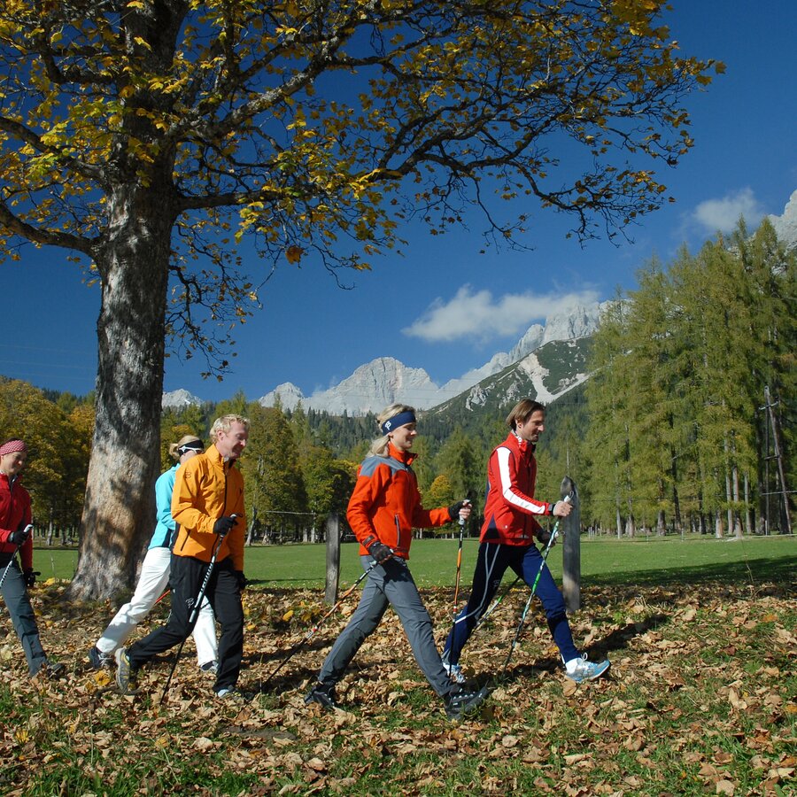
Nordic walking
Data:
Tour description
The Ramsau running and Nordic walking routes are all signposted and marked in one direction. The starting point for all routes is in the WM cross-country stadium in Ramsau Ort. All 8 routes are marked with numbers and a color. Each route is also equipped with kilometer boards.
The tour
easy
tour.detail.accessible-by-public-transport
Starting and end point
WM-Stadion Ramsau Ort
Tour characteristics
Fitness (2/6)
Information
Distance: 9.52 km
Duration:
2 h 9 min
Ascent: 178 m
Descent: 178 m
highest point: 1212 m
Best season
Jan
Feb
Mar
Apr
May
Jun
Jul
Aug
Sep
Oct
Nov
Dec
Map, elevation profile & further information
The route runs from Ramsau Ort to the toll station in Schildlehen, then via Sublehnermoos to Badesee Beach, via Bauernhof Reiter and Helpferer back to the cross-country stadium.
From the west: Tauernautobahn A 10 to the Ennstal junction - exit in the direction of Graz/Schladming - around 20 km on the Ennstal main road to Schladming - Ramsau junction From the north: Pyhrnautobahn in the direction of Liezen Ennstalbundesstraße to Schladming - Ramsau junctionEvent center Ramsau Place
Ramsauer Verkehrsbetriebe www.rvb.at
Nordic Walking Stöcke, Laufschuhe


