Grimming-Donnersbachtal
Riedleralm
Hiking trail
Data:

Tour description
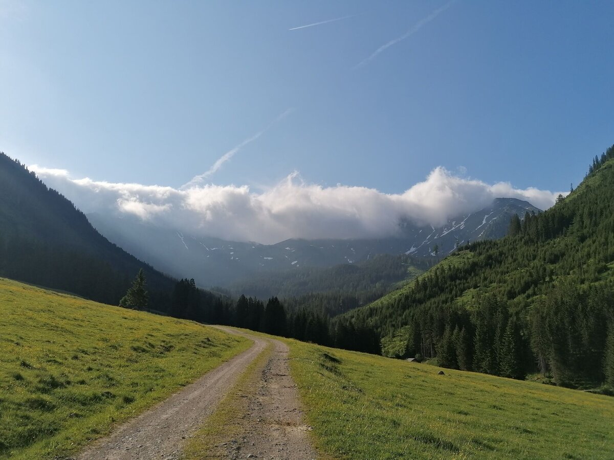
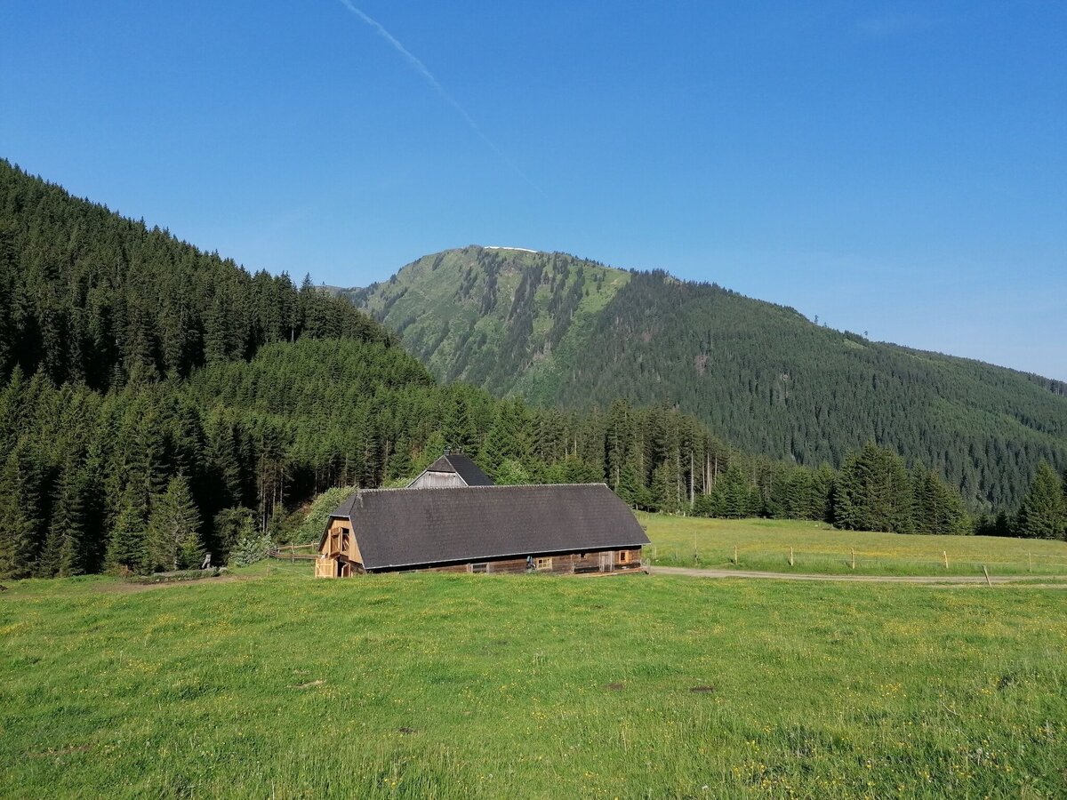
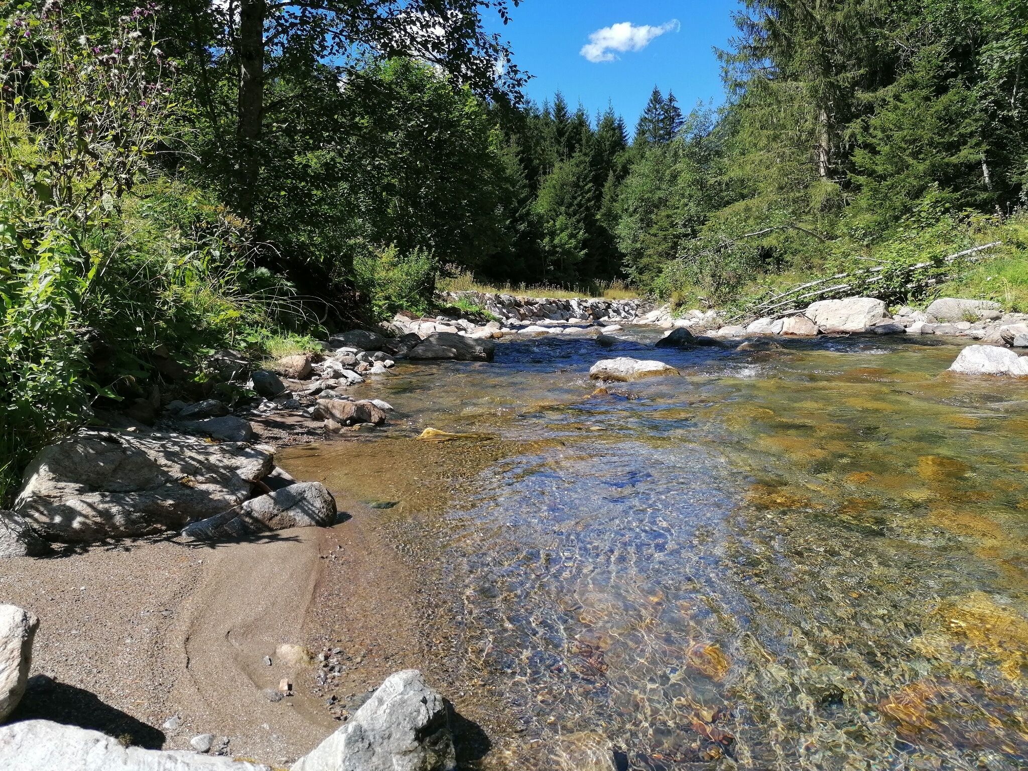
ALWAYS WITH THE CALM. Deeply relaxed, you stroll along the forest path to the Riedleralm. Only the murmur of the torrent and the chirping of the birds accompany you. More of this idyll? Then continue with you to the Beireutalm.
The tour
easy
tour.detail.accessible-by-public-transport
Starting and end point
Parking Hinterwald
Tour characteristics
Information
Distance: 6.34 km
Duration:
1 h 40 min
Ascent: 125 m
Descent: 125 m
highest point: 1164 m
Best season
Jan
Feb
Mar
Apr
May
Jun
Jul
Aug
Sep
Oct
Nov
Dec
Map, elevation profile & further information
From the Hinterwald parking lot and past the Riedler barrier, you stroll leisurely along the forest path to the Riedleralm. Only the murmur of the torrent that ripples along the way and the chirping of the birds accompany you. Even on hot days this small, fine tour is inviting. You will always find a shady spot. If the hike is too short for you, then just march on to the Beireutalm (45 min from Riedleralm). Take the same path back again.
From the Ennstalbundesstraße (B320) turn off at the Trautenfels junction in the direction of Irdning, Donnersbach, Donnersbachwald. Through the village of Donnersbach and another 12 km to Donnersbachwald. Past the Riesneralm and about 3.5 km to Hinterwald to the barrier Riedleralm.Parking Hinterwald
No public transport to the start point.
Good shoes, clothes and a backpack for a small snack.
- Let them know where you are going and when you want to be back. Also sign hut or summit books.
- Turn back in good time if the weather deteriorates. If you get caught in a thunderstorm, do not stay on the summit or ridge and stay away from individual trees. Wait out the storm, if possible in a crouching position.
- Stay on the marked trails and remember to close pasture fences again.
- Getting up the trail is only half the battle. Stay alert, especially on the descents, to make it back to the valley safely.In case of emergency, keep calm and call the mountain rescue on 140. If you have no reception, take out the sim card and dial 112.
- If you encounter cows: It is best to pass above the herd with at least 50 meters distance. Stay calm, don't make any frantic movements and don't run away. Do not imitate cow sounds and do not try to pet the animals. A stick and loud shouting can often make the animals turn back in an emergency.
- If you are a dog owner: Clarify before the hike if you have to cross a pasture. Keep your dog on a leash and make sure he stays calm. If a cow attacks, let the dog off the leash immediately. Never pick him up to defend him.
- You can get detailed information on "Safe Mountain Hiking" from the Alpine Club. At www.alpenverein.at you can inform yourself comprehensively about it.
Perfect Hike-Tour for hot summerdays, because there give enough shade places.Tourism information: www.schladming-dachstein.at
Tourist Office Schladming-Dachstein
Ramsauerstrasse 756
8970 Schladming
T: +43 3687 23310
info@schladming-dachstein.at
- SCHLADMING-DACHSTEIN Hinking EAST. Available free of charge at tourist offices and lodging establishments.
- SCHLADMING-DACHSTEIN Hiking Map (1:50.000)


