Grimming-Donnersbachtal
Putterersee round
Hiking trail
Data:
Tour description
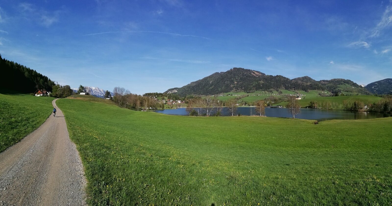
A walk along the lakeshore to Kulm and on to Schlattham. Along the footpath back to the starting point.
The Natur.Kraft.Platz is located along this hike. ‘Bankerlplatz Putterersee’. You can find more information about this at www.schladming-dachstein.at/naturkraftplaetze
The tour
easy
tour.detail.accessible-by-public-transport
Starting and end point
Tour characteristics
Information
Distance: 3.67 km
Duration:
55 min
Ascent: 15 m
Descent: 15 m
highest point: 667 m
Best season
Jan
Feb
Mar
Apr
May
Jun
Jul
Aug
Sep
Oct
Nov
Dec
Map, elevation profile & further information
Walk along the Putterersee lake to the wooded Kulm, past the campsite and along the road towards Schlattham. Cross the meadow here via a field path and walk along the footpath back to the Putterersee.
Von Liezen kommend in Wörschach links den Schildern Aigen/Ennstal folgen. In Aigen den Ort durchfahren und kurz vor dem Ortsendeschild, links einbiegen und am großen Schotterparkplatz das Fahrzeug abstellen.Großer und kostenfreier Schotterparkplatz am Ausgangspunkt.
Mit dem Zug nach Stainach-Irdning oder nach Liezen fahren.
Von dort erreichen Sie mit der Buslinie 940 stündlich Aigen im Ennstal.
Fahrplanauskünfte unter:
www.oebb.at
www.verbundlinie.at
Good footwear!
Schladming-Dachstein Hiking Map East. Available free of charge from the tourist offices and accommodation providers.


