Gröbminger Land
Panorama Runde
Nordic walking
Data:
Tour description
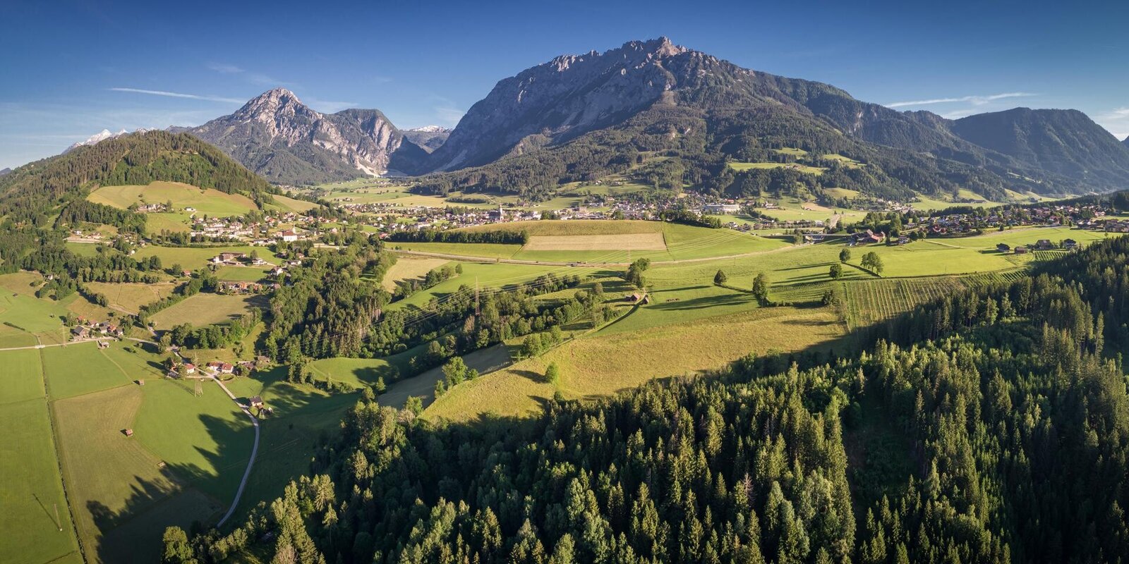
This circular hiking trail lives up to its name. Via the Stoderstraße and the picturesque Gröbminger Alm, the trail leads through a section of forest towards Freienstein. From the clearing along the Schneerosenhügel hill, a wonderful view of the Stoderzinken, Kammspitze and Grimming invites you to linger. The trail continues through a section of forest to Gröbming and along the Grömingerbach stream back to the starting point.
Translated with DeepL.com (free version)
Translated with DeepL.com (free version)
The tour
difficult
tour.detail.accessible-by-public-transport
Starting and end point
Tour characteristics
Fitness (2/6)
Information
Distance: 8.2 km
Duration:
1 h
Ascent: 397 m
Descent: 402 m
highest point: 1134 m
Best season
Jan
Feb
Mar
Apr
May
Jun
Jul
Aug
Sep
Oct
Nov
Dec
Map, elevation profile & further information
From Salzburg: A 10 Tauernautobahn to Altenmarkt/Pongau junction - B 320 Ennstalbundesstraße - Gröbming
From Graz: A 9 Phyrn Motorway to St. Michael junction - Liezen B 320 to Gröbming
From Linz: A 9 Phyrnautobahn to Liezen (Bosrucktunnel MAUT!! or Phyrnpass) - B 320 to Gröbming
public parking places towards the police-station in Gröbming
suitable footwear, weatherproof clothing


