Grimming-Donnersbachtal
Kulmrundweg
Hiking trail
Data:
Tour description
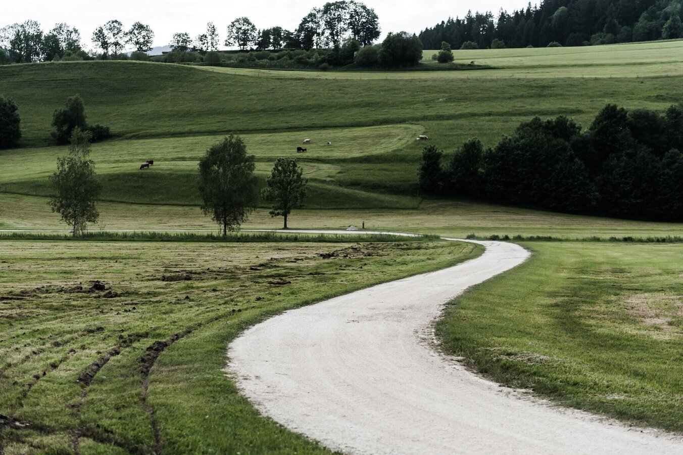
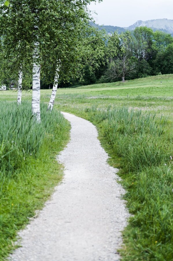
First the lake, then to Schlattham and over the Sallaberg. If you're Team Water, head along the Enns. If you're Team Forest, then hike along the forest path to Hohenberg and back to Aigen.
The tour
easy
tour.detail.accessible-by-public-transport
Starting and end point
Parkplatz Tennisplatz
Tour characteristics
Fitness (2/6)
Information
Distance: 8.71 km
Duration:
2 h 30 min
Ascent: 66 m
Descent: 87 m
highest point: 702 m
Best season
Jan
Feb
Mar
Apr
May
Jun
Jul
Aug
Sep
Oct
Nov
Dec
Map, elevation profile & further information
You start from the tennis court to the Putterersee. Now you follow the marked path to the campsite, further to Schlattham and over the Sallaberg. Either hike along the Enns or along the forest path in the direction of Hohenberg before returning to the starting point in Aigen.
Way number: 7
Turn off the Ennstalbundesstraße (B320) in Wörschach or Trautenfels and continue to the centre of Aigen.Large and free gravel car park at the starting point.
Take the 940/941 bus to the "Putterersee" stop. The starting point of the hike is also nearby.
Bus timetable: www.verbundlinie.at
The nearest train station is Stainach-Irdning in Stainach, 6 kilometres from Aigen.
Train timetable: www.oebb.at
- Turn back in good time if the weather deteriorates. If you get caught in a thunderstorm, stay away from individual trees. Wait out the storm, preferably in a crouched position.
- Stay on the marked paths and remember to close pasture fences.
- Keep calm in an emergency and call the mountain rescue service on 140. If you have no reception, take out your SIM card and dial 112.
- If you come across cows: It is best to pass above the herd at a distance of at least 50 meters. Stay calm, don't make any hectic movements and don't run away. Do not imitate cow sounds and do not try to stroke the animals. A stick and loud shouts can often make the animals turn back in an emergency.
- If you are a dog owner: clarify before the hike whether you need to cross a pasture. Keep your dog on a lead and make sure it behaves calmly. In the event of a cow attack, let your dog off the lead immediately. Never pick him up to defend him.
Perhaps pack a small snack in your rucksack so that you can enjoy nature during a break.
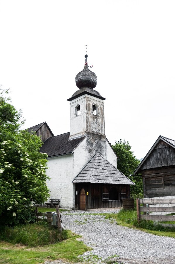
The detour to St John's Church is worthwhile, as it is a wonderful place of power.Tourism information: www.schladming-dachstein.at
Schladming-Dachstein Tourist Office
Ramsauerstraße 756
8970 Schladming
T: +43 3687 23310
info@schladming-dachstein.at
- SCHLADMING-DACHSTEIN Hiking EAST. Available free of charge from tourist offices and accommodation providers.
- SCHLADMING-DACHSTEIN Hiking Map 1:50,000


