Grimming-Donnersbachtal
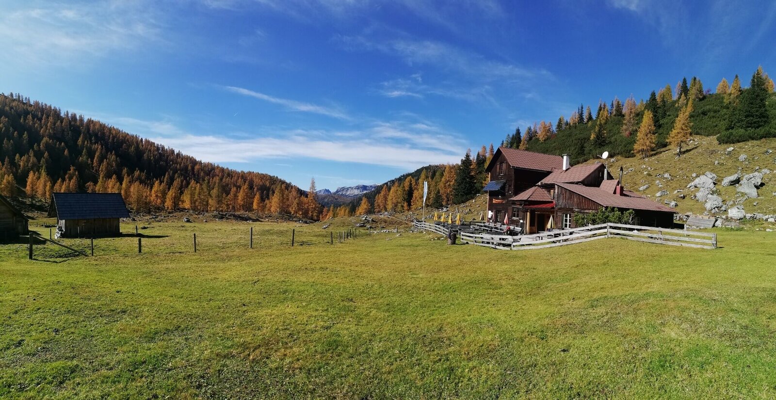
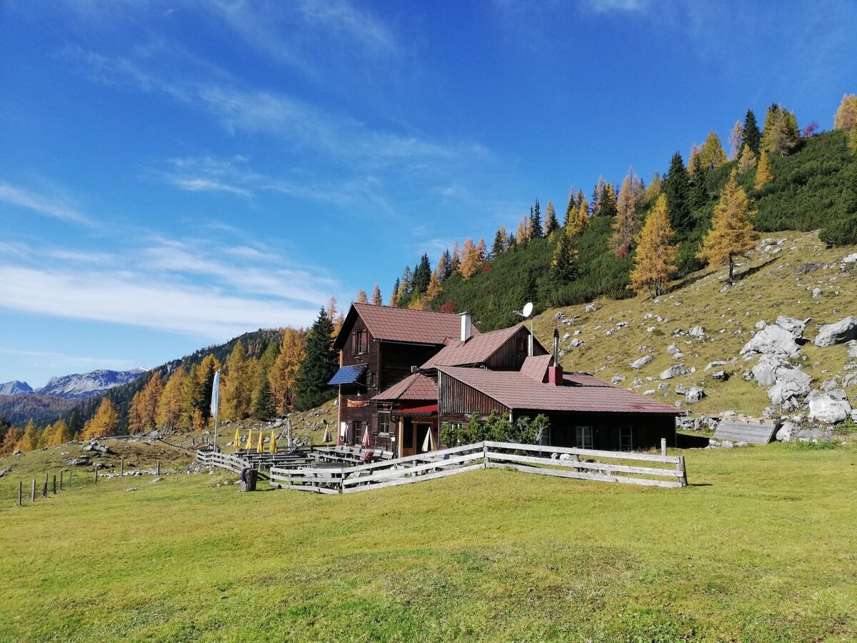
Hochmölbinghütte
Hiking trail
Data:

Tour description
GOD BE THANKFUL. Hike on forest and woodland paths via Schönmoos and the Langpoltenalm to the "Gott-sei-Dank-Bankerl". Take a short break and continue to the traditional Hochmölbinghütte. Return along the same route or via Liezener Hütte and Hochtor.
The tour
moderate
Starting and end point
Parkplace Schönmoos
Tour characteristics
Fitness (3/6)
Skills (3/6)
Information
Distance: 12.99 km
Duration:
5 h
Ascent: 688 m
Descent: 688 m
highest point: 1763 m
Best season
Jan
Feb
Mar
Apr
May
Jun
Jul
Aug
Sep
Oct
Nov
Dec
Map, elevation profile & further information
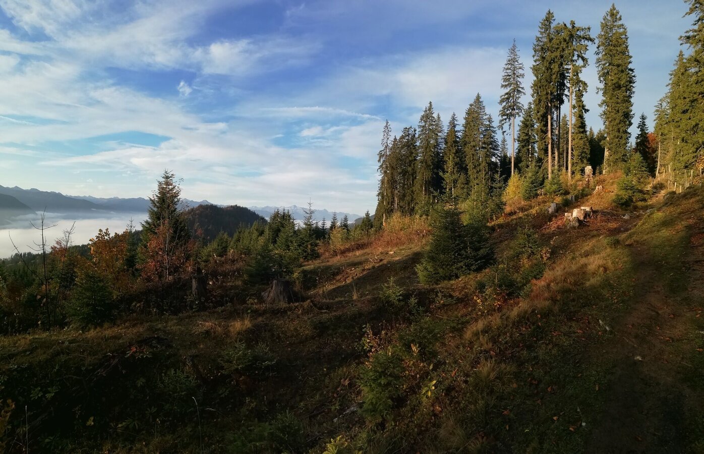
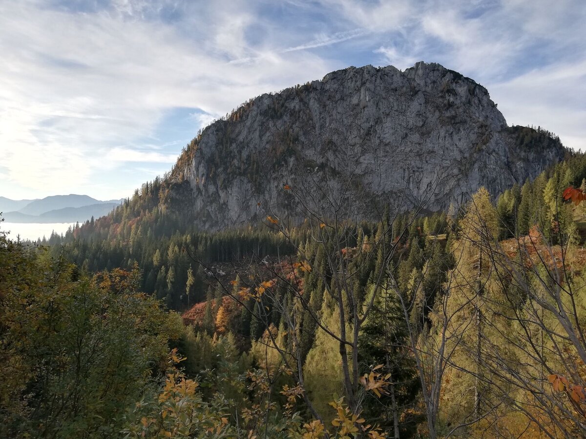
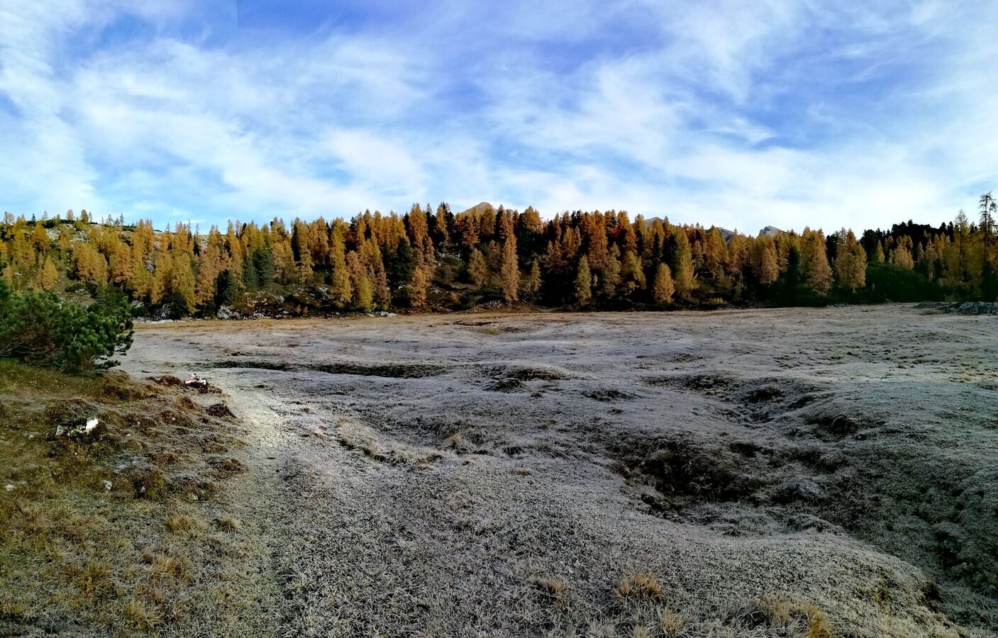
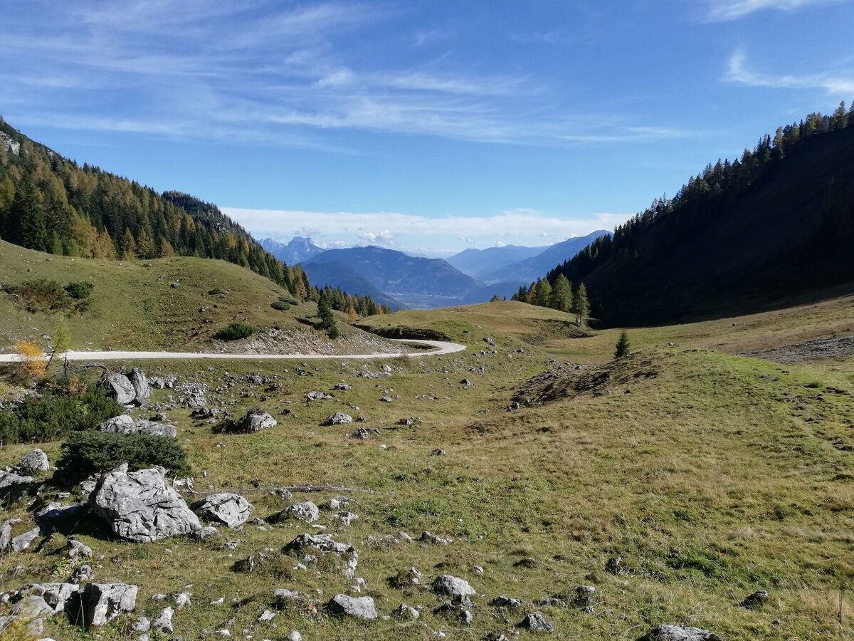
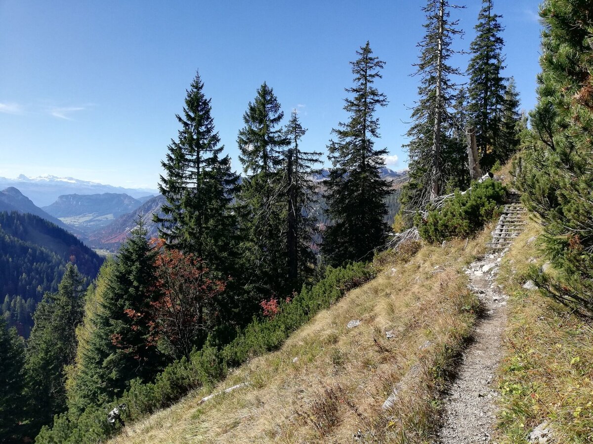
From the Schönmoos parking lot, walk a short distance along the forest road, turn right following the markings and hike moderately uphill along forest roads, past the Hochtausing entrance, to the Langpoltenalm. Shortly after the pasture and the gate behind it, turn right and hike along a steeper path to the "Gott-sei-Dank-Bankerl". Here you should enjoy the magnificent view before you turn right, this time flat, to the managed Hochmölbinghütte. Return along the same path or across the beautiful high moor to the Liezener Hütte and over the Hochtor, steeper downhill, to the Langpoltenalm. You come back to the ascent path, on which you march back to the starting point.
Leave the Ennstal federal road (B320) in Wörschach. In the village, turn off in the direction of Wörschachberg, drive up to the Oberkogler-Alm and continue to Schönmoos. Free Parking Schönmoos
You can only drive with a bus to Wörschach.
To Wörschachmoutain is no bus driving.
- Plan your tour in advance, taking into account walking time, route length, altitude difference, danger spots and weather forecast.Together is much more beautiful and at the same time safer in the mountains.
- Do not go alone, if possible, and adapt the tour to the ability of your group.
- Let them know where you are going and when you want to be back. Also sign hut or summit books.
- Turn back in good time if the weather deteriorates. If you get caught in a thunderstorm, do not stay on the summit or ridge and stay away from individual trees. Wait out the storm, if possible in a crouching position.
- Stay on the marked trails and remember to close pasture fences again.
- Getting up the trail is only half the battle. Stay alert, especially on the descents, to make it back to the valley safely.In case of emergency, keep calm and call the mountain rescue on 140. If you have no reception, take out the sim card and dial 112.
- If you encounter cows: It is best to pass above the herd with at least 50 meters distance. Stay calm, don't make any frantic movements and don't run away. Do not imitate cow sounds and do not try to pet the animals. A stick and loud shouting can often make the animals turn back in an emergency.
- If you are a dog owner: Clarify before the hike if you have to cross a pasture. Keep your dog on a leash and make sure he stays calm. If a cow attacks, let the dog off the leash immediately. Never pick him up to defend him.
- You can get detailed information on "Safe Mountain Hiking" from the Alpine Club. At www.alpenverein.at you can inform yourself comprehensively about it.
You can sleep on the hochmölbinghütte http://www.hochmoelbinghuette.at/
Tourist information: www.schladming-dachstein.at
Schladming-Dachstein Tourist Office
Ramsauerstraße 756
8970 Schladming
T: +43 3687 23310
info@schladming-dachstein.at
- SCHLADMING-DACHSTEIN Hiking EAST. Available free of charge from tourist offices and accommodation providers.
- SCHLADMING-DACHSTEIN Hiking Map 1:50,000
- KOMPASS Hiking Map 68, Ausseerland-Ennstal 1:50,000, hiking, cycling, ski touring


