Hike to the Grimmingtor
Tour description
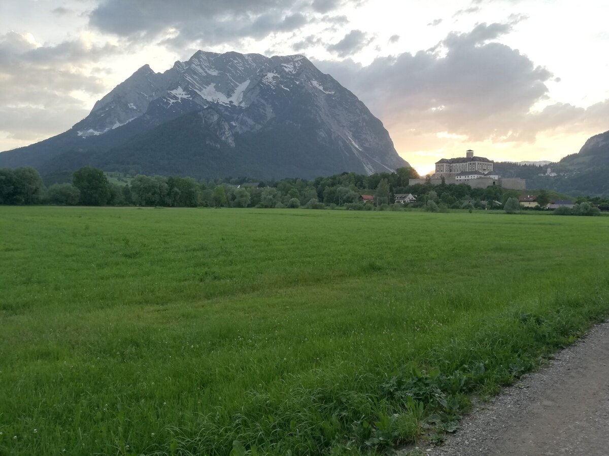
From Espang, we hike up the Stutterner Berg, past a hunting lodge through the beech forest to the Feiglstein (1.240m) and to the snack pit - until we finally reach the heart of the Grimming. We are never alone here and will always meet loyal companions along the way.
The tour
Map, elevation profile & further information
Free Parking next to the railroad crossing in Espang
Exacttly Infomations do you become on this websites:
- Plan your tour in advance and take into account walking time, route length, altitude difference, danger spots and weather forecast.
- The Alpine Club provides detailed information on "Safe Mountain Hiking". Under www.alpenverein.at you can inform comprehensively about it.
- Together is much more beautiful and at the same time safer in the mountains. Do not go alone, if possible, and adapt the tour to the ability of your group.
- Let them know where you are going and when you want to be back. Also sign hut or summit books.
- Turn back in good time if the weather deteriorates. If you get caught in a thunderstorm, do not stay on the summit or ridge and stay away from individual trees. Wait out the storm, if possible in a crouching position.
- Stay on the marked trails and remember to close pasture fences again.
- Getting up the trail is only half the battle. Stay alert, especially on the descents, to make it back to the valley safely.
- In case of emergency, keep calm and call the mountain rescue on 140. If you have no reception, take out the sim card and dial 112.
- If you encounter cows: It is best to pass above the herd with at least 50 meters distance. Stay calm, don't make any frantic movements and don't run away. Do not imitate cow sounds and do not try to pet the animals. A stick and loud shouting can often make the animals turn back in an emergency.
- If you are a dog owner: Clarify before the hike if you have to cross a pasture. Keep your dog on a leash and make sure he stays calm. If a cow attacks, let the dog off the leash immediately. Never pick him up to defend him.
Safety on the mountainside: changes in the weather, sudden fall in temperature, thunder storms, wind, fog and snow fields are all objective dangers and require the correct behaviour whilst underway. the landlords of the huts are all very knowledgeable about the mountains and can give you good tips about the weather and the routes. Insufficient equipment, exaggerated opinion of ones capabilities, frivolousness, poor health condition and a false evaluation of the situation can lead to a critical situation. In thunder storms: summits, crest-sites and safety rope aids are to be avoided.
If something should happen call following emergency numbers:No. 140 - the number for all Alpine Emergencies in all of AustriaNo. 112 - European emergency call GSM emergency-call-service
- GRIMMING-DONNERSBACHTAL Hiking & Biking Map. Available free of charge at the tourist offices of Berg & Tal
- SCHLADMING-DACHSTEIN Hiking Map
- KOMPASS Hiking Map No. 68, Ausseerland-Ennstal Valley


