Grimming-Donnersbachtal
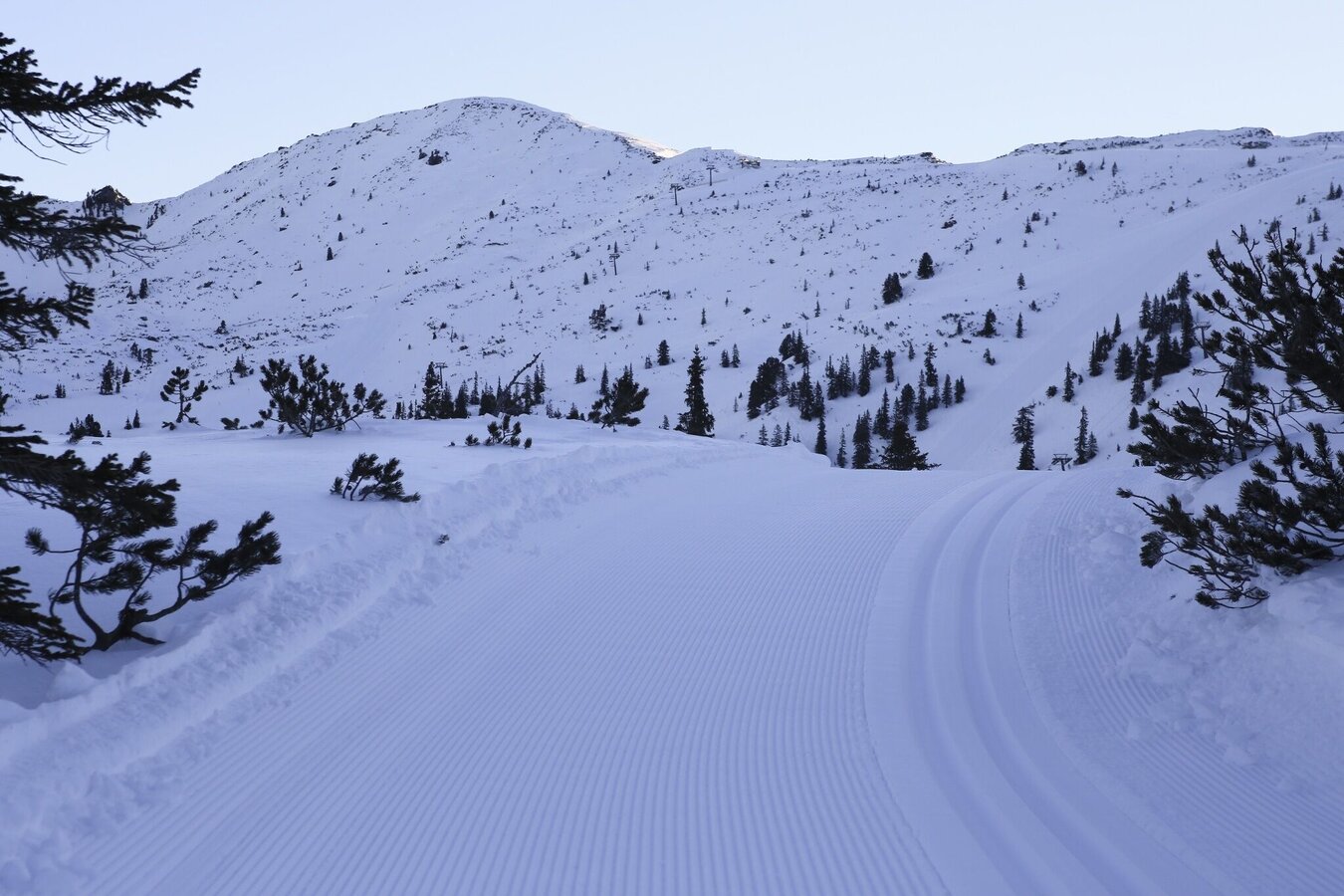
High-altitude cross-country trail at the Planneralm
Ski-nordic-classic
Data:
Tour description
The Planneralm high altitude cross country track is considered a selective and demanding cross-country ski run, which is prepared both classically and with a skating track, in a beautiful, quiet location. During the construction of this trail, care was taken not to interfere too much with nature. This results in some steeper climbs and above all descents.
The tour
closed
moderate
Starting and end point
Planneralm Children's Land
Tour characteristics
Fitness (3/6)
Skills (5/6)
Information
Distance: 2.8 km
Duration:
45 min
Ascent: 95 m
highest point: 1712 m
Best season
Jan
Feb
Mar
Apr
May
Jun
Jul
Aug
Sep
Oct
Nov
Dec
Map, elevation profile & further information
Coming from the B320, at the crossing Trautenfels in direction Irdning. Then in the direction of Donnersbach. In the village turn left towards Planneralm and follow the 12 km long toll-free mountain road.Free of charge on the Planneralm.
Short but crisp trail, for those who do not have long time.Tourism information: www.schladming-dachstein.at
Tourism blog: www.derbergdastal.at
Tourist Office Schladming-Dachstein
Ramsauerstrasse 756
8970 Schladming
T: +43 3687 23310
Garbage on meadows and paths can not smell mountain and valley. Please take it with you. Agriculture and forestry are important partners for Berg und Tal. They allow you to walk and drive on many of their paths. Be aware that only good cooperation will guarantee your recreational enjoyment in the future.
- Winter leisure card- in all info locations free of charge to pick up


