Ramsau am Dachstein
Hierzegg Trail
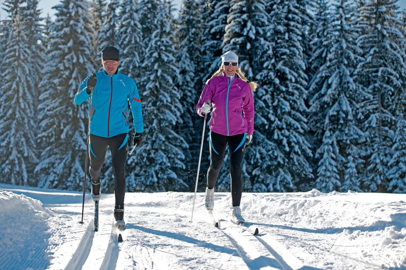
Ski-nordic-classic
Data:
Tour description
Technically demanding trail into Hierzegg with constant ups and downs.
The tour
closed
difficult
tour.detail.accessible-by-public-transport
Starting and end point
Cross-Country Stadium Ramsau Ort
Tour characteristics
Fitness (4/6)
Skills (5/6)
Information
Distance: 5 km
Duration:
1 h 15 min
Ascent: 145 m
highest point: 1168 m
Best season
Jan
Feb
Mar
Apr
May
Jun
Jul
Aug
Sep
Oct
Nov
Dec
Map, elevation profile & further information
The Hierzeggloipe starts at the fish pond at the end of the standard West trail. From there it goes downhill towards Auwirt and past the Grundlehner to Camping Dachstein. Past the Mühlebner and the Bergerhof, a circular loop leads back to the campsite and on the same route back towards Schildlehen / Fischteich.
From the west:
Tauern Autobahn A 10 to the Ennstal junction - exit towards Graz / Schladming - around 20 km on the Ennstal federal road to Schladming - Ramsau junction. Continue to Ramsau-Schildlehen.
From east / north:
Pyhrnautobahn towards Liezen Ennstalbundesstraße to Schladming - Ramsau junction. Continue to Ramsau-Schildlehen.
The best entry point is at the Rittisberg, from where you can get to the fish pond in approx. 1.5 km along the standard WEST trail.
Car park RittisbergWith the buses of the Ramsau transport company from Schladming (also from the train station) to Ramsau to the Dachsteinstraße stop. Ramsauer Verkehrsbetriebe Timetable www.rvb.at
A trail with a truly impressive view of the Dachstein.www.ramsau.com/xc XC map Ramsau am Dachstein


