From the Erzherzog Johann Hütte to the Hochstubofen
Tour description
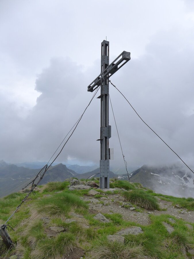
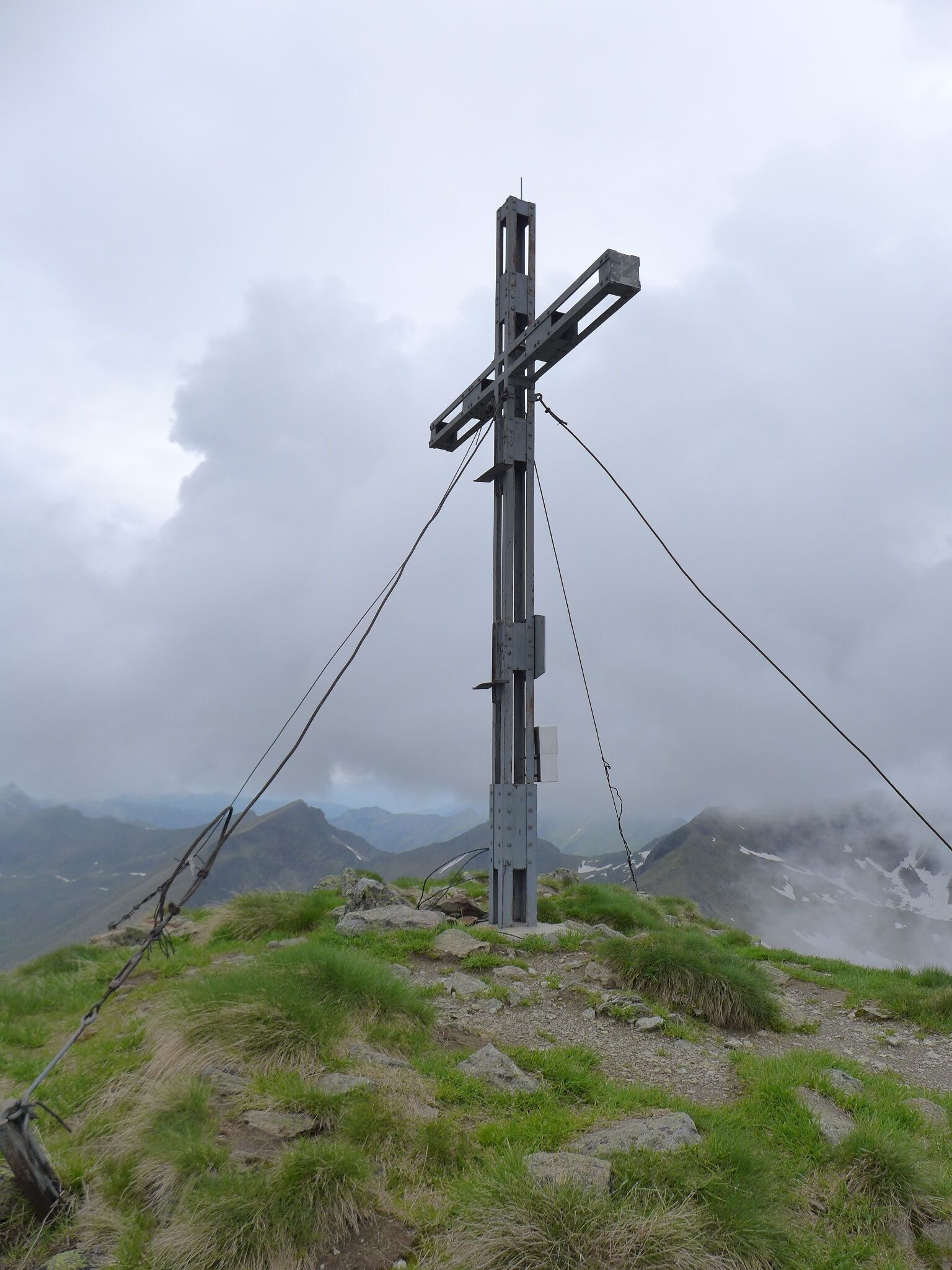
From the alpine pastures at the Hansenalm on the pass road, you can already see the beautifully shaped summit of the Hochstubofen, which dominates the head of the valley. In summer, the purple flowers of the Pannonian gentian can be found here.
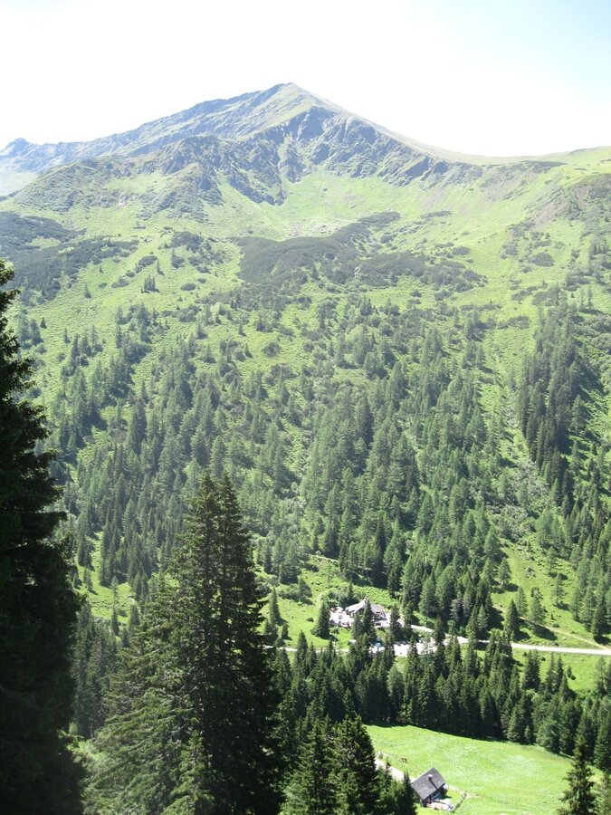
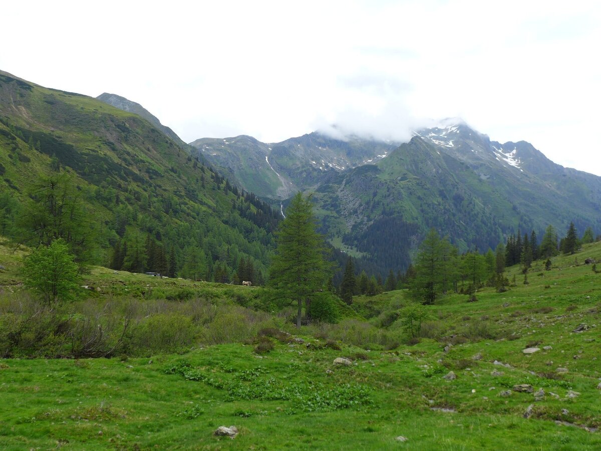
To the west is the Deneck, to the east is the huge Schoberspitz and deep below is the Eselsberggraben with its cozy huts. To the southwest, the Hornfeldspitze and the Aarfeldspitze greet you - lonely mountains that surround the wide slopes of the Winkleralpe.
The tour
Map, elevation profile & further information
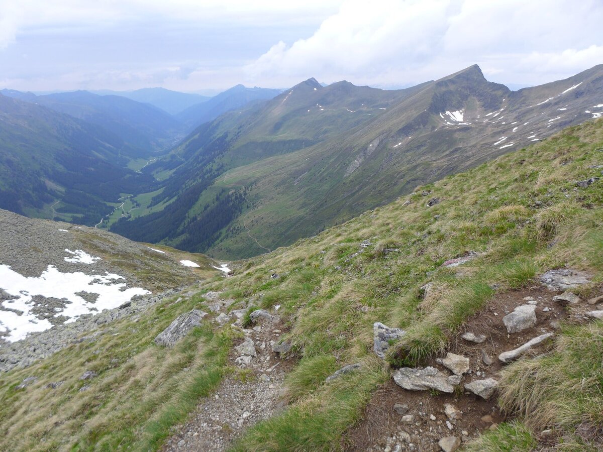
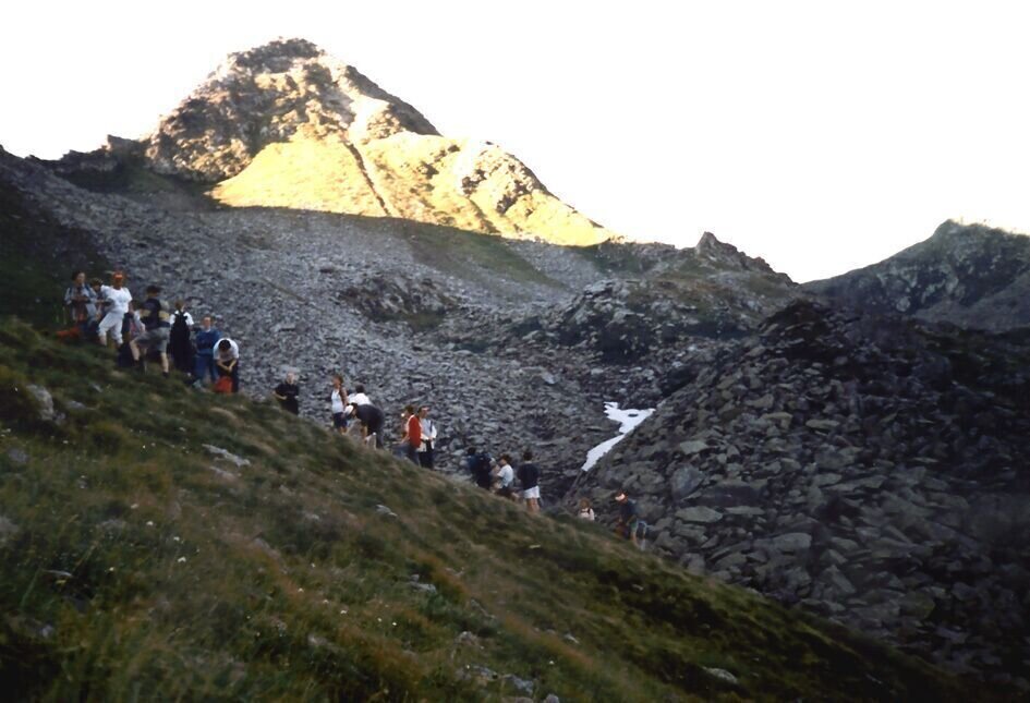
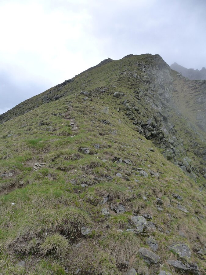
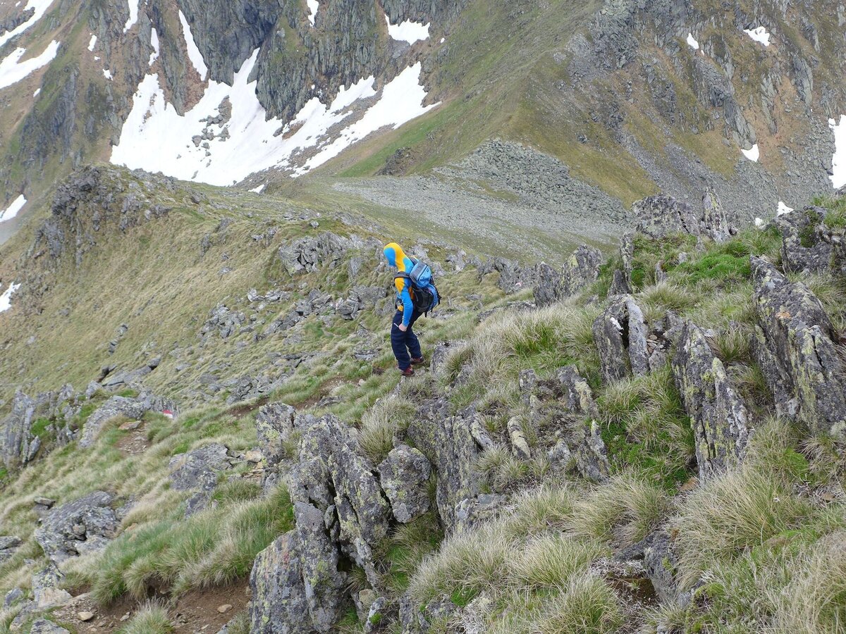
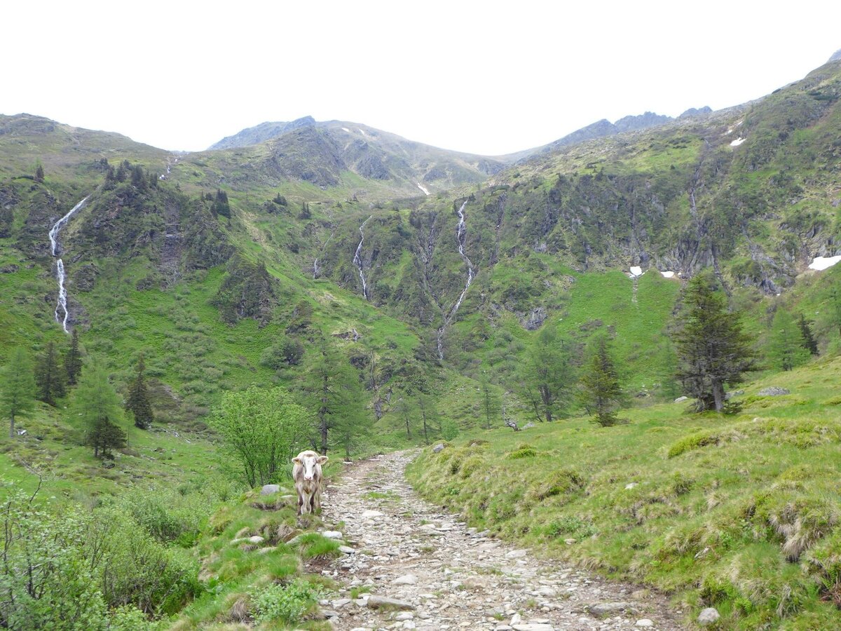
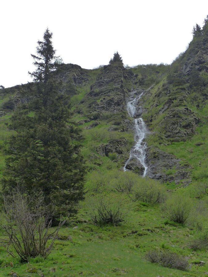
From the parking lot Kaltenbachkehre, first hike down to the Winkleralm bend and from there follow the wide alpine access path to the Mahdfeldalm until you reach the crossroads where trail no. 926 leads from the alpine pastures. Turn right and hike along the slope, cross small streams and climb steeply up into the cirque in many serpentines.
From the Mahdfeldalm, follow the alpine path in a south-easterly direction until the path branches off to the Hochstubofen (left). At an altitude of 2,000 m below the Haseneckscharte, the ascent to the Hochstubofen branches off somewhat surprisingly to the right (path no. 909 leads straight ahead over the saddle to the Neunkirchnerhütte) and crosses the slope below the summit to the south-west-facing ridge. From there it is easy to reach the summit in a short time.
The descent leads straight back to the alpine path. Turn left here and follow the alpine path to the starting point at the Winkleralm bend.
Cab Stefan Mayer: +43 676 54 09 858
Valley bus from July 5 to September 7, 2025 - this makes crossings in the Sölktäler Nature Park possible. You can also travel comfortably by train and the valley bus will take you to the starting point of your hike. Click here for the timetable.
Weather changes, rapid drop in temperature, thunderstorms, wind, fog and snow fields are objective dangers and require the right behavior on the way. Hut keepers are experienced mountain connoisseurs, they can give good tips on the weather and the course of the trail. Lack of equipment, overestimation of one's own abilities, carelessness, poor physical condition and a wrong assessment can lead to critical situations. During thunderstorms: avoid peaks, ridges and rope belays at all costs.
GPS data and orientation aids: Available GPS data - as well as hiking maps - are only an orientation aid, since they can never represent an exact image or the richness of detail of a path in reality. Especially in the case of danger spots, it must therefore always be decided in the end on the basis of the conditions on site whether and how the further course of the path looks like.
In case of emergency, please dial the following emergency numbers:
No. 140 - for alpine emergencies - Austria-wide
No. 112 - Euro emergency call GSM emergency call service
Take rainproof and warm clothes and enough water, possibly also a snack, wear shoes with non-slip profile soles. A first aid kit should also be in your backpack.
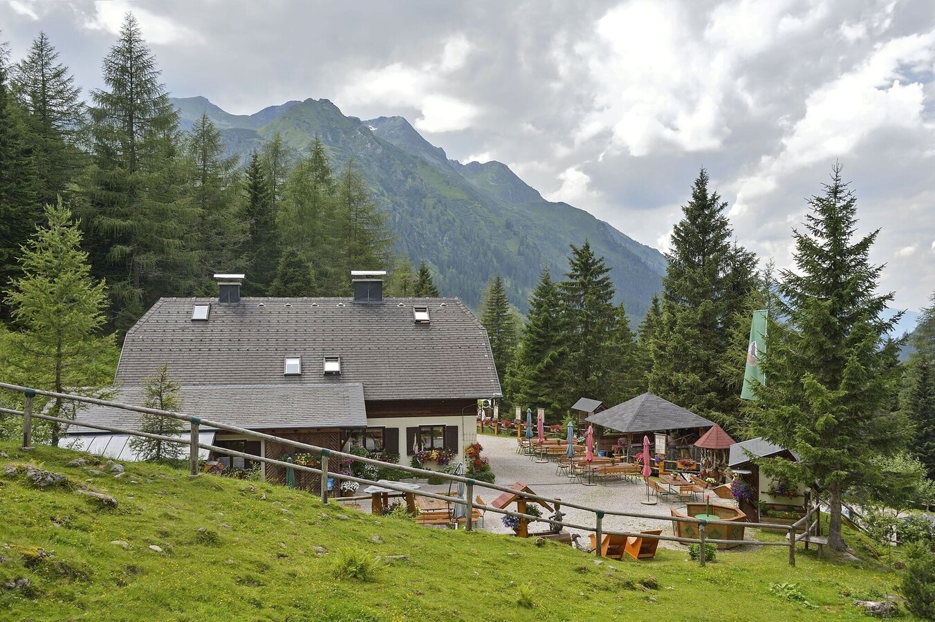
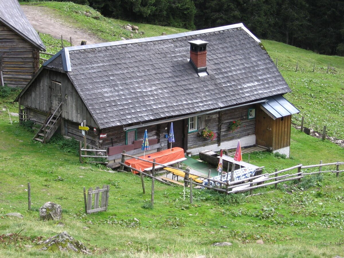
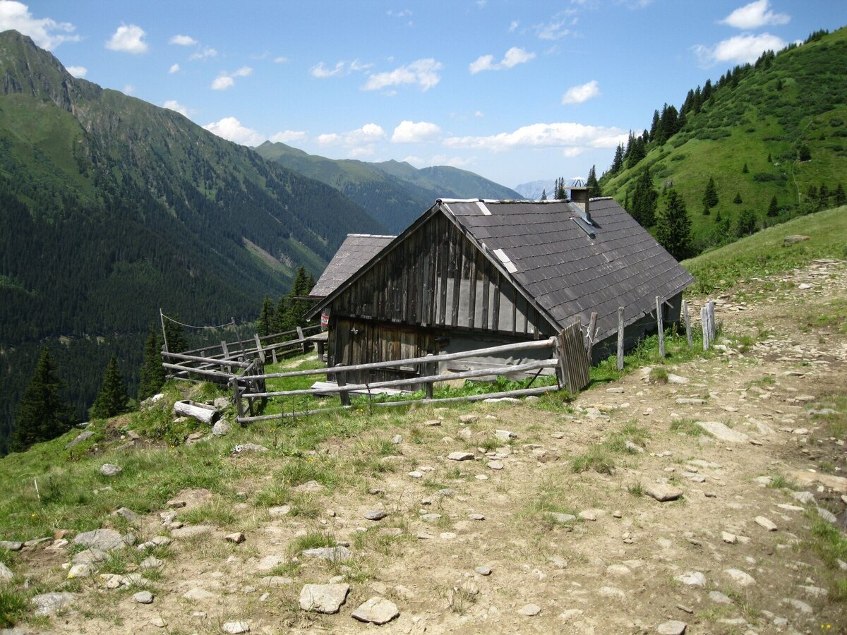
Possibilities for refreshments at the Kaltenbachalm or the Winkleralm
SummitLynx- Your digital summit and hut book - available worldwide and always with you!
Mountain guides from the region: www.schladming-dachstein.at/mountainguides
For more information, please contact the Schladming Dachstein Tourist Office - Sölktäler Nature Park Information Center:
Phone: +43 3687 23310 501
mailto:info@schladming-dachstein.at
Stein an der Enns 107
8961 Sölk
The brochure “Schladming-Dachstein Hiking” is available in all information offices in the region.


