Enns Trail Gleiming - Mandling

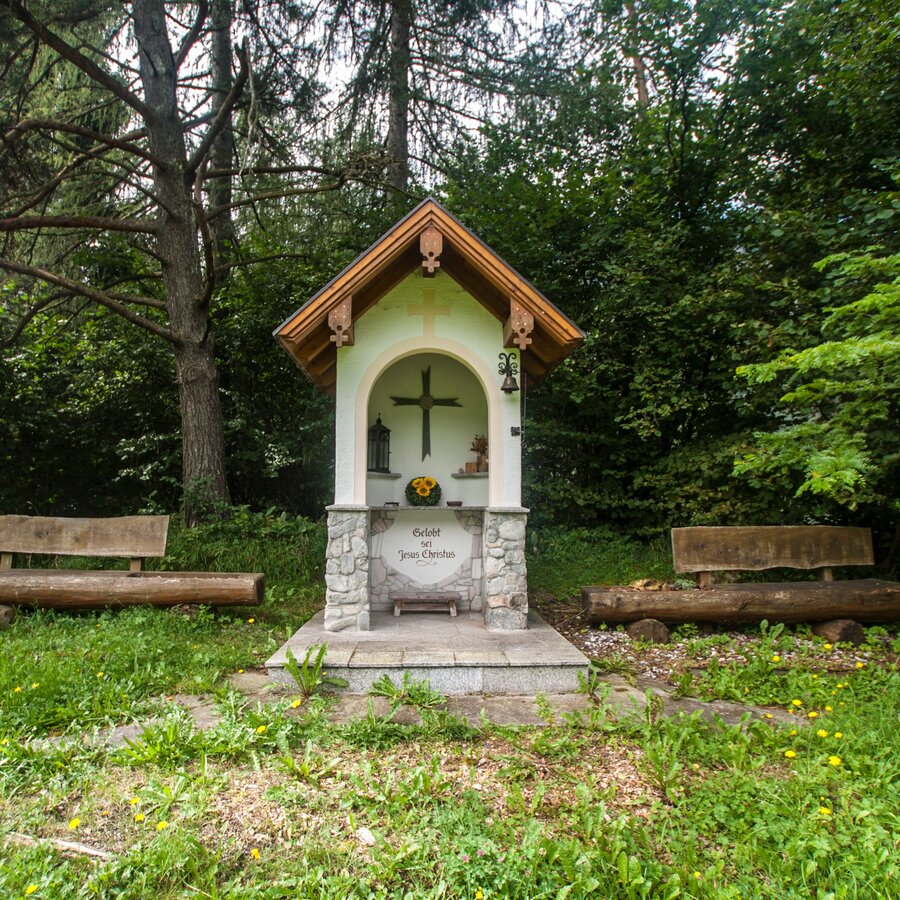
Tour description
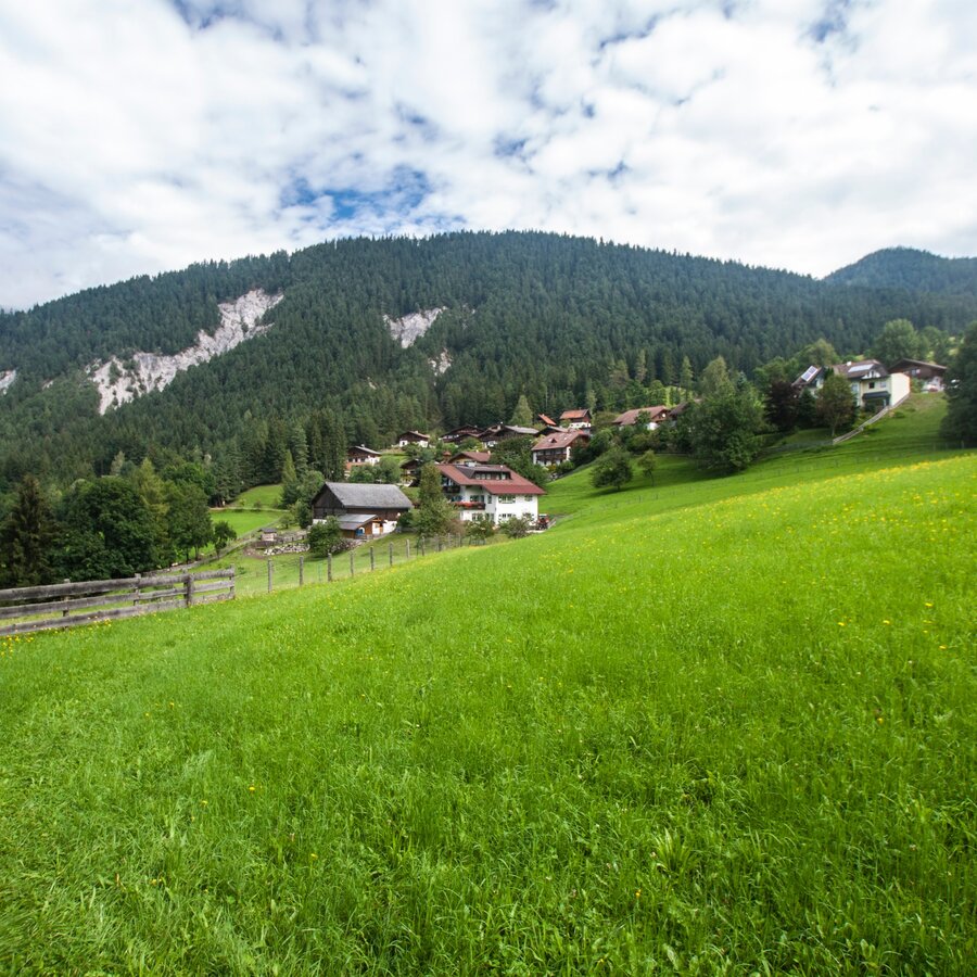
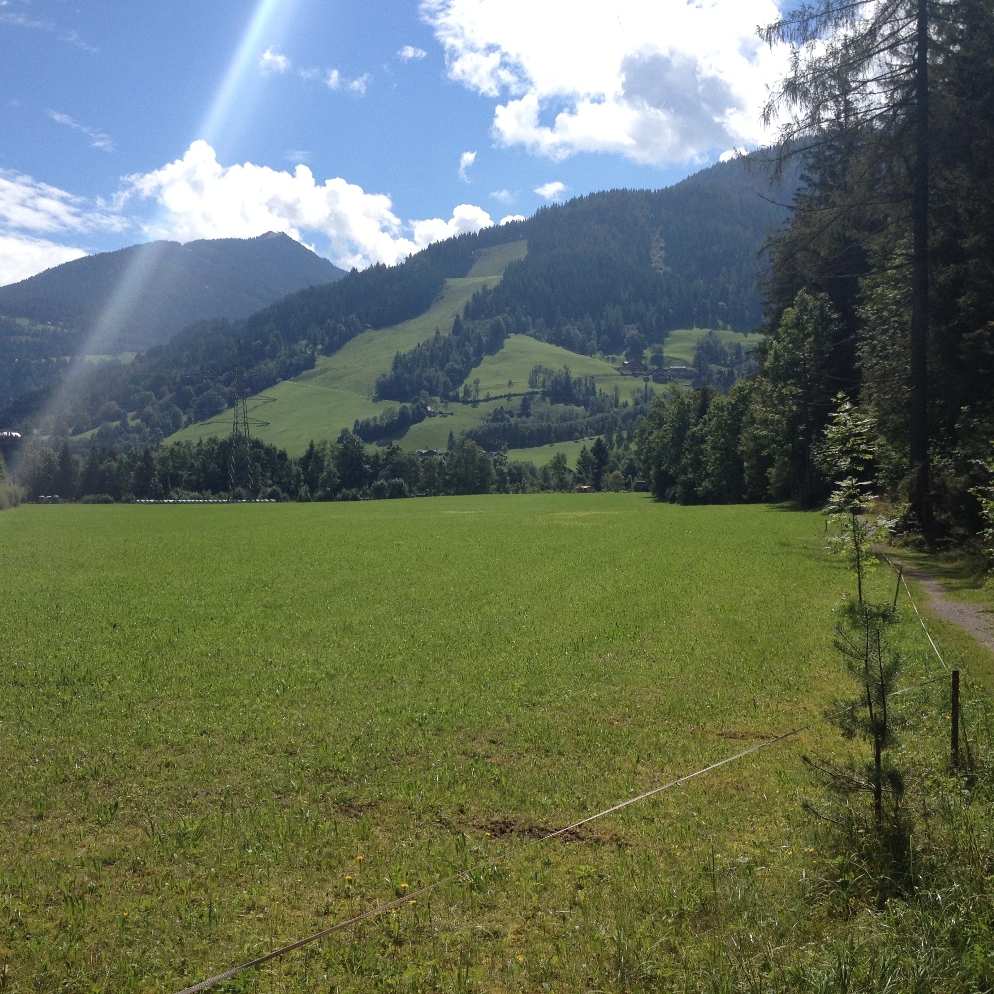
The tour
Map, elevation profile & further information
You start off in Gleiming and hike to the underpass of the federal highway B320. Continue through Audorf and then walk up a narrow path behind the Audorf to reach the forest trail towards Warterdorf. Once you reach Warterhof farm in Warterdorf continue along the road to the turn-off from the federal highway B320. Follow trail n° 100 (»Panoramaweg 100«) until you reach »Mandling«. Walk past the loden manufacturer Steiner1888 and then use the pedestrian underpass and the bridge across the railroad. Walk through the residential area of the village of Mandling and then across the bridge over the river Enns. Pass by the gravel pit and continue along the river Enns back to Gleiming.
Tourist information: www.schladming.com
Information about bus schedules: www.postbus.at
- Hiking map ‘Hiking WEST’ available at the information offices in the region.
- Schladming hiking map, 1:25,000, available at the Schladming information office.
- Hiking map Schladming-Dachstein, 1:50,000, available at the information offices in the region.
- Hiking guide Schladming-Dachstein by Herbert Raffalt, available at the information offices in the region.


