contact
ForYou Club
8 / 83 lifts
back
Schladming

Enns River Walking Tour

Athletic Area Schladming

Tour description

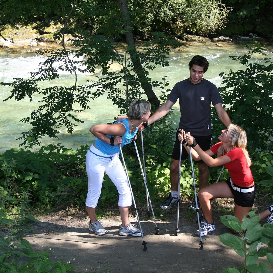
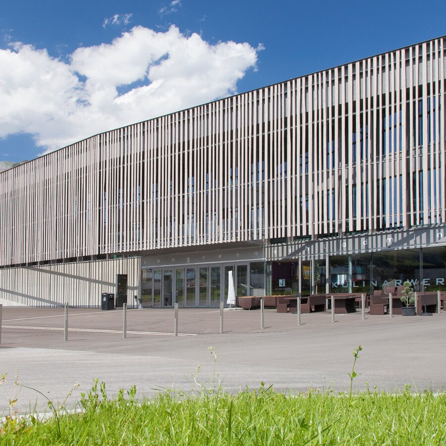
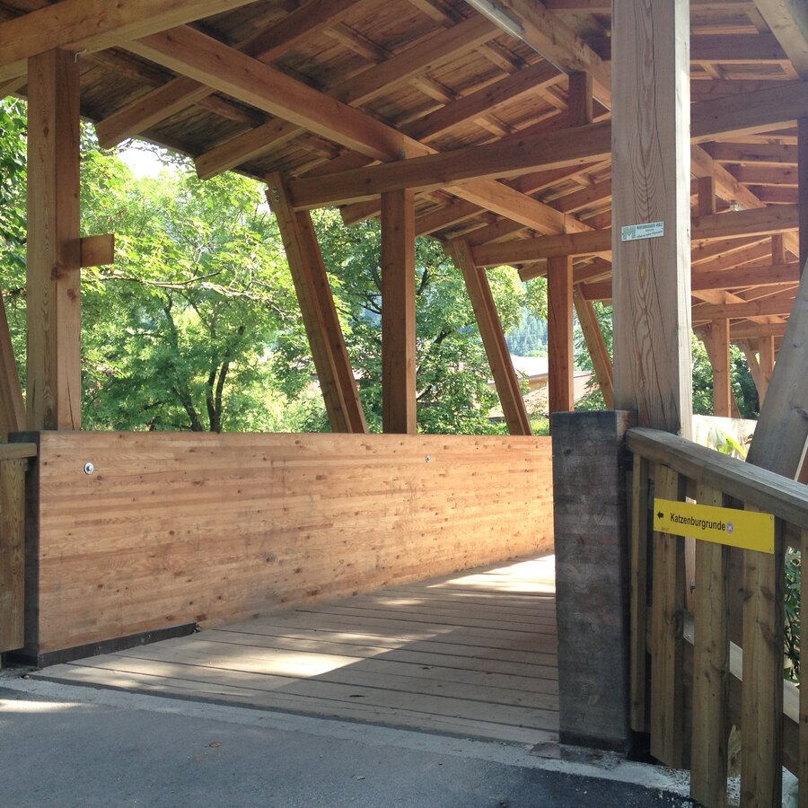
This route takes you from the stadium in the direction of the congress center, passing this to the right and bringing you to the right bank of the River Enns, which you will then follow as far as Lehenbrücke bridge, then taking the left bank of the Enns back to the start.

Trail characteristics:

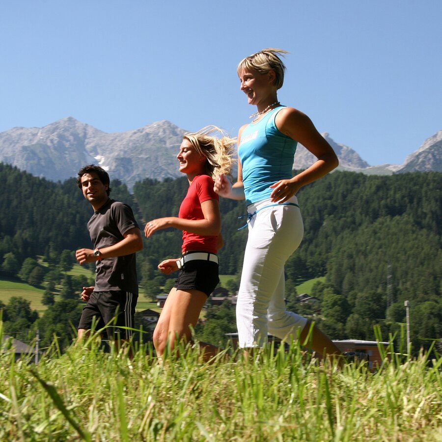
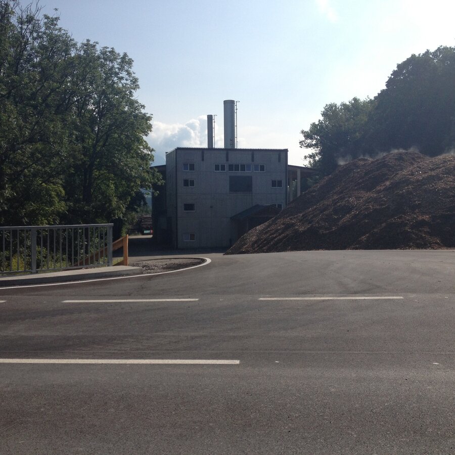
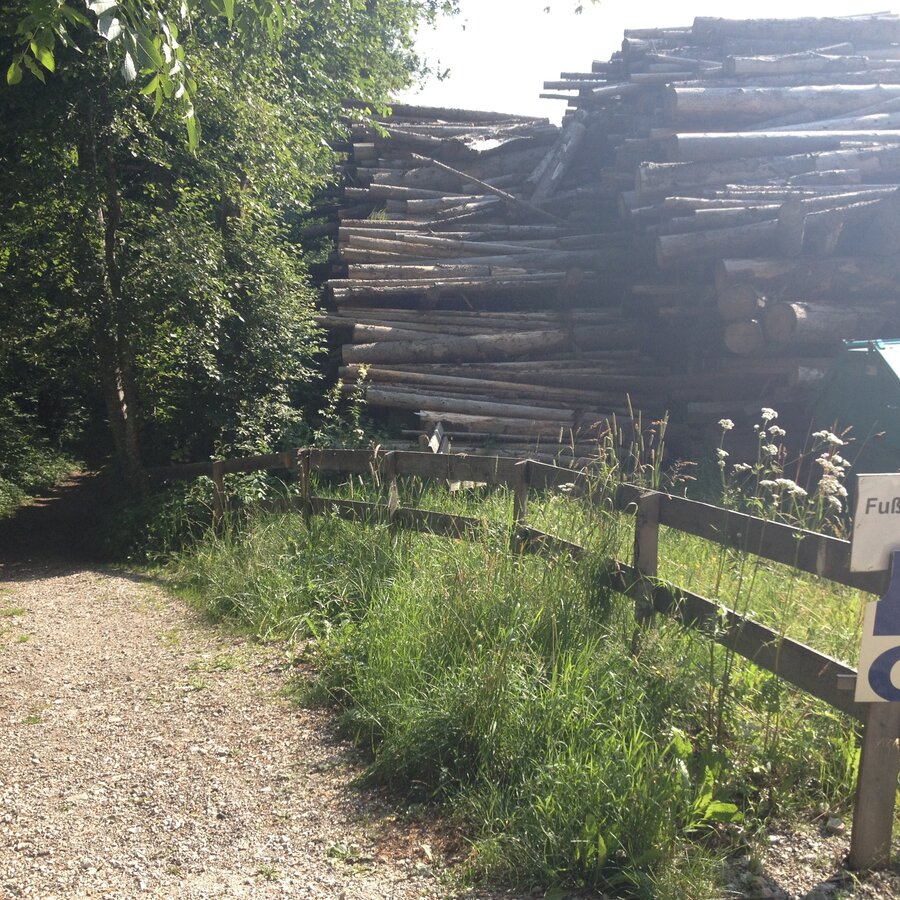
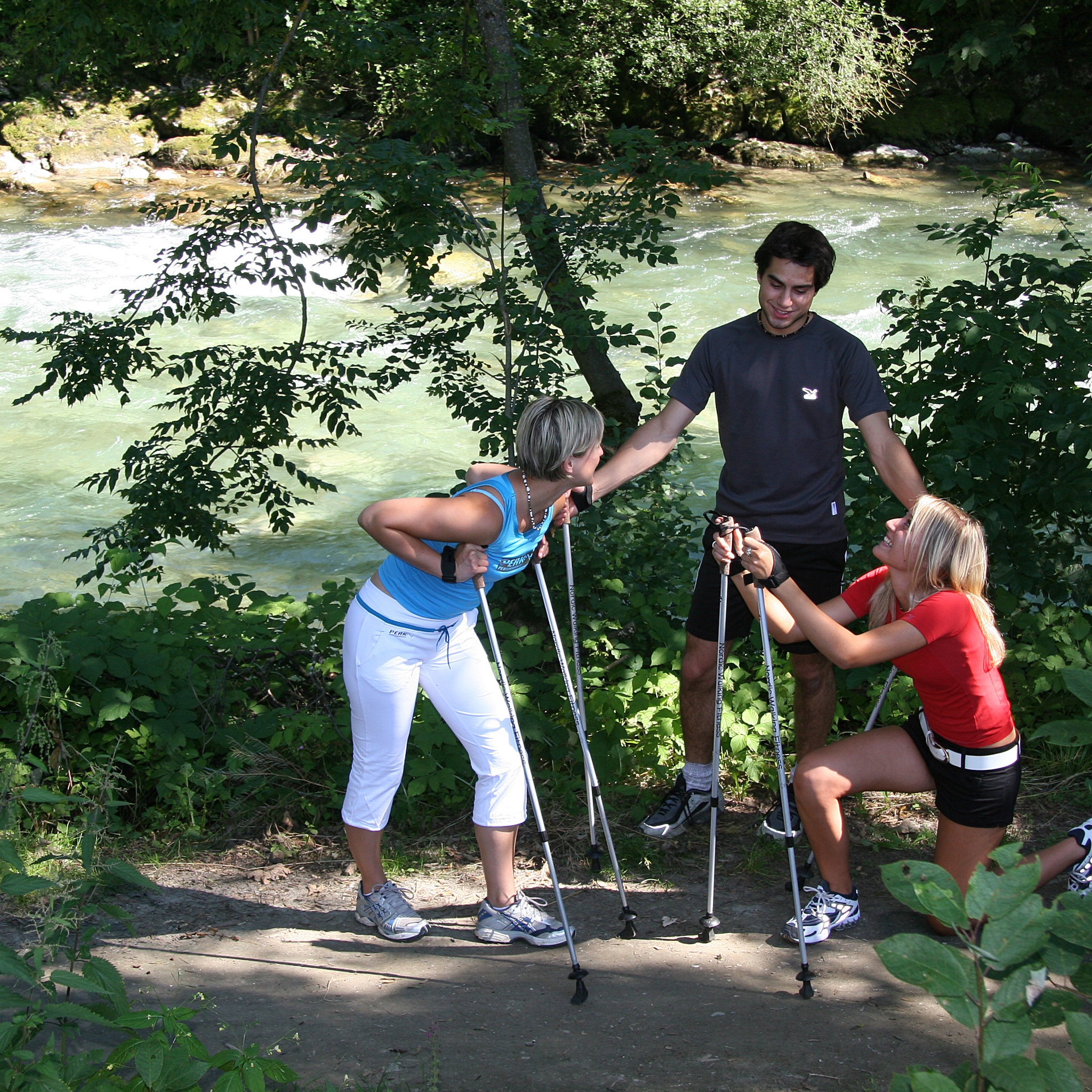
street through the town, then meadow trail along the river Enns

Infrastructure:

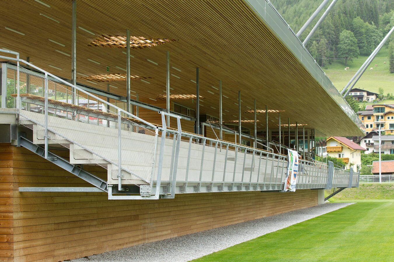
Car parking at Planai stadium

Refreshment stops:

Restaurant/Café Freischwimmer, Sporthotel Royer

The tour

easy
Starting and end point Hiking trail head Planai stadium
Tour characteristics
Information
Distance: 6.1 km
Duration: 1 h 30 min
Ascent: 25 m
Descent: 25 m
highest point: 742 m
Best season
Jan
Feb
Mar
Apr
May
Jun
Jul
Aug
Sep
Oct
Nov
Dec

Map, elevation profile & further information

From the hiking trail head at Planai stadium you walk past Hotel Barbara towards Augasse road and congress Schladming. Between congress Schladming and Hotel Falkensteiner the trail takes you to the river Enns. Make a right and you reach the pedestrian bridge "Gollobsteg" (Schladming's running routes begin here). It is your choice now whether you take the trail along the left or right bank of the river Enns. You walk downstream for approximately 2 kilometers, where you cross the Lehenbrücke bridge and make your way back on the other side of the river.
Exit from federal highway B320 at the exit "Schladming-Ost" and continue to the valley terminal of Planai cable-car at Planai stadium.Car parking is available at Planai stadium.

In the town of Schladming you can take the Citybus. From Rohrmoos take the Planai buses to Planet Planai, from Ramsau take the buses of Ramsauer Verkehrsbetriebe. 

Good walking shoes and custom-fit Nordic Walking poles are the standard equipment. We also recommend a belt for carrying a drinking bottle.

Information about bus schedules: www.planaibus.at

360° drone images

Get yourself an overview with our 360° drone images:

  • Hiking map ‘Hiking WEST’ available at the information offices in the region.
  • Schladming hiking map, 1:25,000, available at the Schladming information office.
  • Hiking map Schladming-Dachstein, 1:50,000, available at the information offices in the region.
  • Hiking guide Schladming-Dachstein by Herbert Raffalt, available at the information offices in the region.

Wheather predicition

today
17.10.2025
Mountain 5 °C
Valley 13 °C
Precipitation
Probability
5 %
Amount
0.6 l/m²
Wind speed
Nordwest
5 km / h
Sun
Sun hours
1.3 h
Sunrise
07:27 o clock
Sunset
18:13 o clock

The day will start cloudy or foggy, but the clouds will gradually give way to sunshine during the day.

tomorrow
18.10.2025
Mountain 3 °C
Valley 12 °C
Precipitation
Probability
10 %
Amount
0.1 l/m²
Wind speed
Nordwest
10 km / h
Sun
Sun hours
3.6 h
Sunrise
07:29 o clock
Sunset
18:12 o clock

Rather cloudy in the morning, then sunny spells will develop gradually.

day after tomorrow
19.10.2025
Mountain 8 °C
Valley 12 °C
Precipitation
Probability
0 %
Amount
0 l/m²
Wind speed
Suedwest
15 km / h
Sun
Sun hours
4.4 h
Sunrise
07:30 o clock
Sunset
18:10 o clock

Dry and partly sunny throughout the day, with cloudy periods from time to time.

Tours nearby